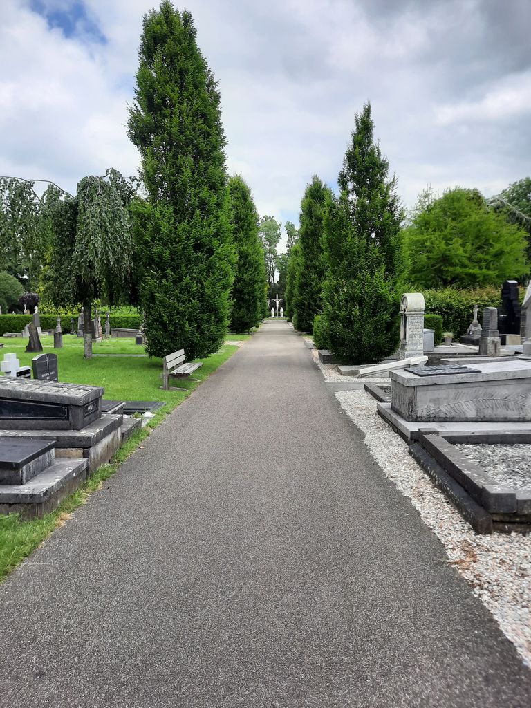
| Memorials | : | 0 |
| Location | : | Leeuwarden, Leeuwarden Municipality, Netherlands |
| Website | : | www.vitushof.nl/ |
| Coordinate | : | 53.2061700, 5.7694100 |
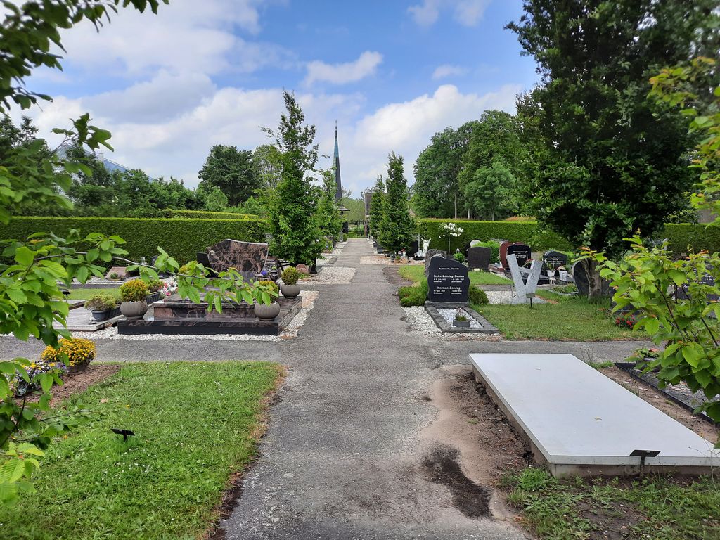
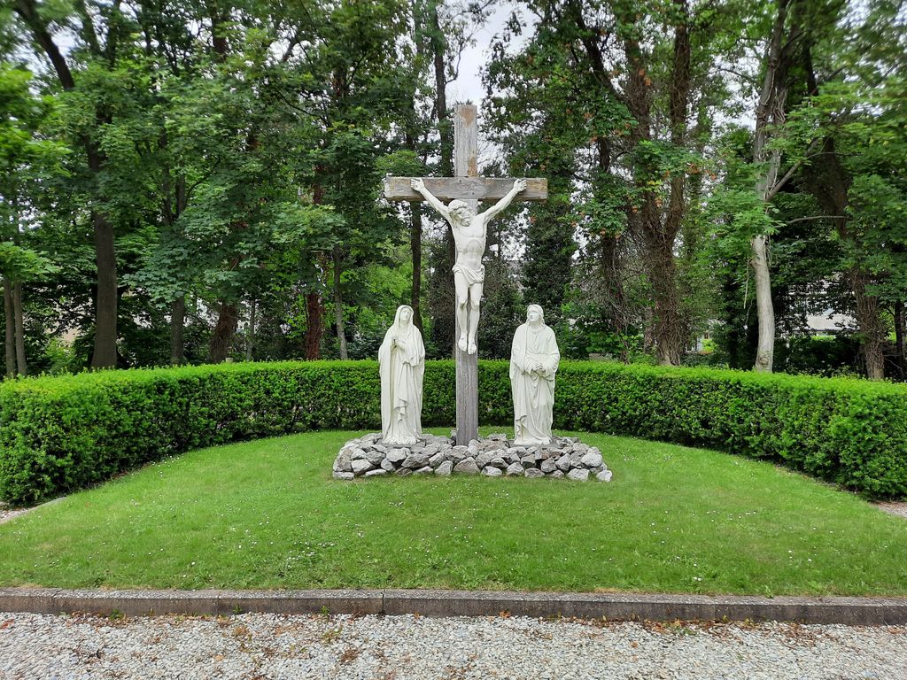
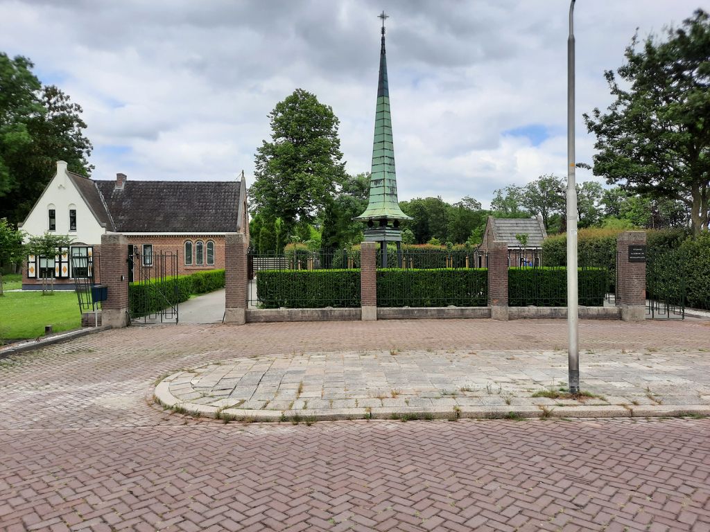
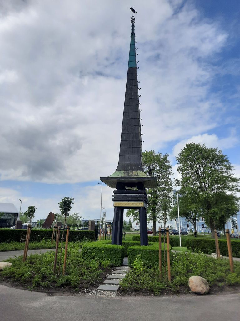
| Description | : | In 1878, the Bonifatius Parish and the Dominicus Parish in Leeuwarden agreed to build a Roman Catholic cemetery in Leeuwarden. This cemetery is the cemetery that is now known as Algemene Rooms-Katholieke Begraafplaats Vitushof. The cemetery used to be exclusive to Roman Catholics, but nowadays people of all religions are allowed to be buried here. Because of this, the name was changed from "Rooms-Katholieke Begraafplaats Vitushof" to "Algemene Rooms-Katholieke Begraafplaats Vitushof" in 2016. Unlike other cemeteries in the Netherlands, graves at the Vitushof cemetery are never cleared. |
frequently asked questions (FAQ):
-
Where is Algemene Rooms-Katholieke Begraafplaats Vitushof?
Algemene Rooms-Katholieke Begraafplaats Vitushof is located at Harlingerstraatweg 130 Leeuwarden, Leeuwarden Municipality ,Friesland , 8915 CPNetherlands.
-
Algemene Rooms-Katholieke Begraafplaats Vitushof cemetery's updated grave count on graveviews.com?
0 memorials
-
Where are the coordinates of the Algemene Rooms-Katholieke Begraafplaats Vitushof?
Latitude: 53.2061700
Longitude: 5.7694100
Nearby Cemetories:
1. Leeuwarden Noorderbegraafplaats
Leeuwarden, Leeuwarden Municipality, Netherlands
Coordinate: 53.2135900, 5.7733900
2. Joodse begraafplaats
Leeuwarden, Leeuwarden Municipality, Netherlands
Coordinate: 53.2089720, 5.7912400
3. Sint-Pontianustsjerke
Marsum, Menaldumadeel Municipality, Netherlands
Coordinate: 53.2108700, 5.7280502
4. Agnestsjerke
Goutum, Leeuwarden Municipality, Netherlands
Coordinate: 53.1786867, 5.8068433
5. Lekkum Churchyard
Lekkum, Leeuwarden Municipality, Netherlands
Coordinate: 53.2263300, 5.8194900
6. Kerkhof Cornjum
Cornjum, Leeuwarderadeel Municipality, Netherlands
Coordinate: 53.2431266, 5.7825235
7. Kerkhof Johanneskerk
Britsum, Leeuwarderadeel Municipality, Netherlands
Coordinate: 53.2542998, 5.7855996
8. Mariatsjerke
Beers, Littenseradiel Municipality, Netherlands
Coordinate: 53.1558525, 5.7329919
9. Stiens Protestant Churchyard
Stiens, Leeuwarderadeel Municipality, Netherlands
Coordinate: 53.2624810, 5.7572899
10. Sint-Vituskerk
Wyns, Tytsjerksteradiel Municipality, Netherlands
Coordinate: 53.2516880, 5.8322860
11. Wirdum Protestant Churchyard
Wirdum, Leeuwarden Municipality, Netherlands
Coordinate: 53.1497300, 5.8036500
12. Kerkepad Begraafplaats
Wytgaard, Leeuwarden Municipality, Netherlands
Coordinate: 53.1418671, 5.7857350
13. Tsjerkhôf Menaam
Menaam, Menaldumadeel Municipality, Netherlands
Coordinate: 53.2161718, 5.6616600
14. Redbadtsjerke churchyard
Jorwerd, Littenseradiel Municipality, Netherlands
Coordinate: 53.1457503, 5.7113044
15. Giekerk Martinuskerk
Giekerk, Tytsjerksteradiel Municipality, Netherlands
Coordinate: 53.2411660, 5.8785276
16. Kerkhof Salviuskerk / 'd Alde Wite
Dronrijp, Menaldumadeel Municipality, Netherlands
Coordinate: 53.1967232, 5.6435867
17. Begraafplaats Sint-Vituskerk
Tytsjerk, Tytsjerksteradiel Municipality, Netherlands
Coordinate: 53.2062242, 5.9142663
18. Marijetsjerke Begraafplaats
Oenkerk, Tytsjerksteradiel Municipality, Netherlands
Coordinate: 53.2537643, 5.8927362
19. Kerkhof
Baard, Littenseradiel Municipality, Netherlands
Coordinate: 53.1423432, 5.6684373
20. Dionysiustsjerke
Slappeterp, Menaldumadeel Municipality, Netherlands
Coordinate: 53.2136468, 5.6199275
21. Schillaard General Cemetery
Schillaard, Littenseradiel Municipality, Netherlands
Coordinate: 53.1237600, 5.7074600
22. Rijperkerk Nederlands Hervormd Kerkhof
Rijperkerk, Tytsjerksteradiel Municipality, Netherlands
Coordinate: 53.2221200, 5.9183300
23. Algemene Begraafplaats
Vrouwenparochie, Het Bildt Municipality, Netherlands
Coordinate: 53.2849877, 5.6946783
24. Stevenskerk kerkhof
Skingen, Menaldumadeel Municipality, Netherlands
Coordinate: 53.2022626, 5.6179534

