
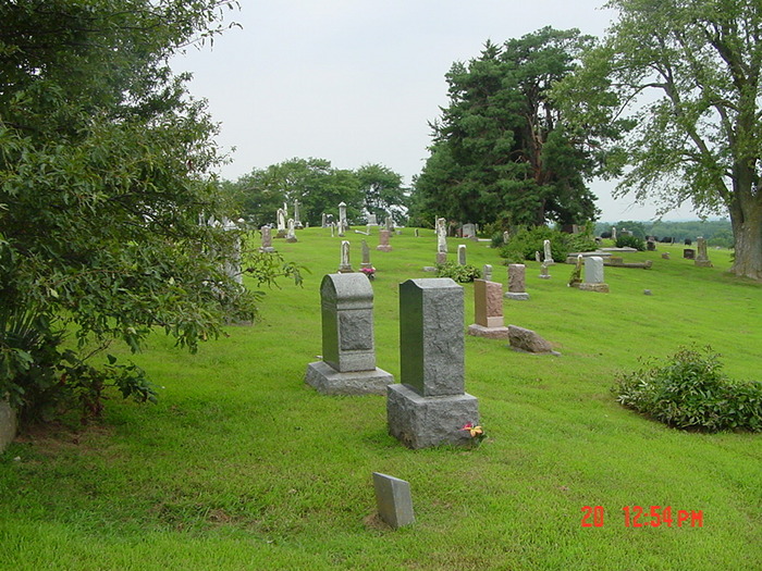
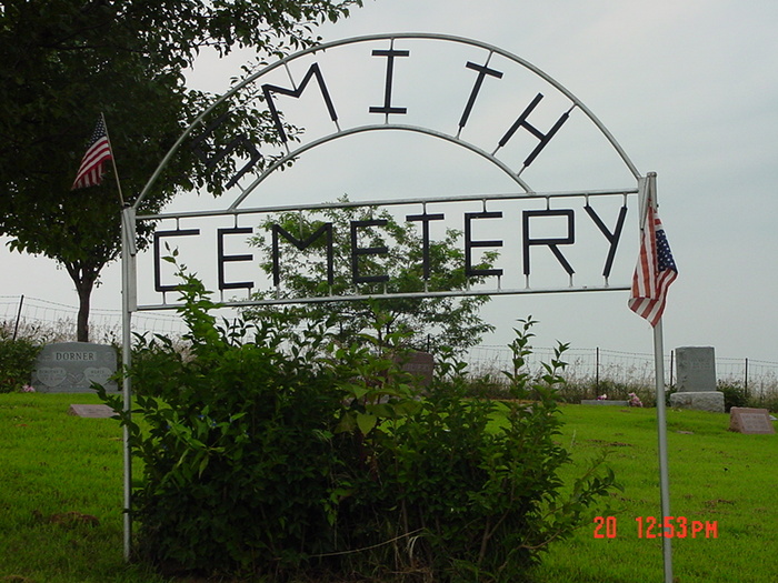
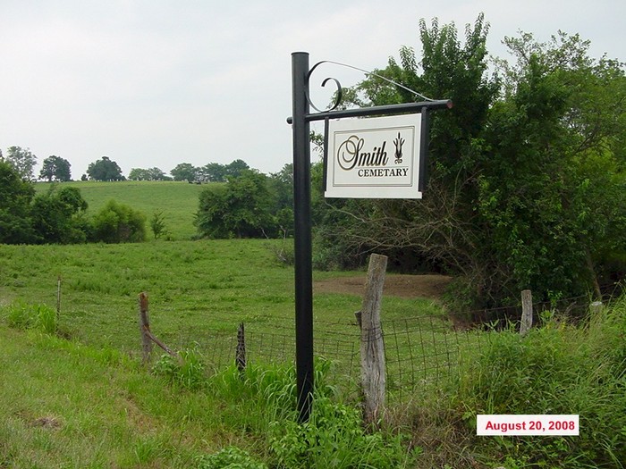
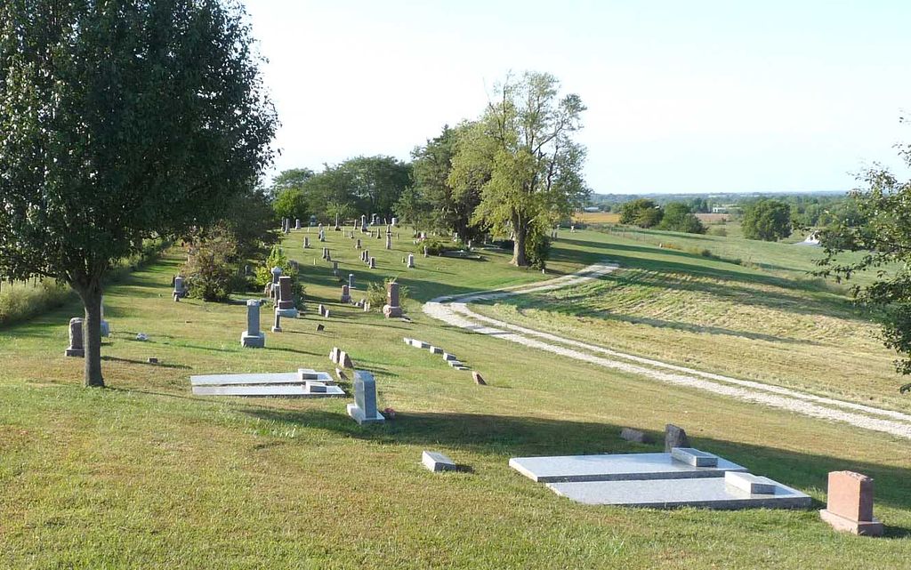
| Memorials | : | 12 |
| Location | : | Carroll County, USA |
| Coordinate | : | 39.4813995, -93.6205978 |
frequently asked questions (FAQ):
-
Where is Smith Cemetery?
Smith Cemetery is located at Carroll County ,Missouri ,USA.
-
Smith Cemetery cemetery's updated grave count on graveviews.com?
12 memorials
-
Where are the coordinates of the Smith Cemetery?
Latitude: 39.4813995
Longitude: -93.6205978

Nearby Cemetories:
1. Unnamed Cemetery #26
Carroll County, USA
Coordinate: 39.4808006, -93.5985031
2. Street Cemetery
Bogard, Carroll County, USA
Coordinate: 39.4606018, -93.5969009
3. Harris Cemetery
Mandeville, Carroll County, USA
Coordinate: 39.5083680, -93.6314570
4. Kasriek Cemetery
Carroll County, USA
Coordinate: 39.4556999, -93.5977020
5. Hawkins Cemetery
Carroll County, USA
Coordinate: 39.5014000, -93.6569977
6. Glaze Cemetery
Carroll County, USA
Coordinate: 39.4908000, -93.5720000
7. Ebenezer Cemetery
Bogard, Carroll County, USA
Coordinate: 39.4692001, -93.5691986
8. Marple Cemetery
Carroll County, USA
Coordinate: 39.5014992, -93.5702972
9. Unnamed Cemetery #32
Carroll County, USA
Coordinate: 39.5028992, -93.5487976
10. Sykes Cemetery
Carroll County, USA
Coordinate: 39.5449000, -93.5993000
11. Union Baptist Church Cemetery
Roads, Carroll County, USA
Coordinate: 39.4486008, -93.7021027
12. Unnamed Cemetery #51
Carroll County, USA
Coordinate: 39.4334984, -93.5492020
13. Unnamed Cemetery #5
Carroll County, USA
Coordinate: 39.5480995, -93.5820007
14. Low Gap Cemetery
Norborne, Carroll County, USA
Coordinate: 39.5244000, -93.7024000
15. Braden Cemetery
Coloma, Carroll County, USA
Coordinate: 39.5393982, -93.5460968
16. Powell Cemetery
Carroll County, USA
Coordinate: 39.4094000, -93.5544000
17. Mount Zion Cemetery
Bogard, Carroll County, USA
Coordinate: 39.4352989, -93.5214005
18. Coloma Cemetery
Coloma, Carroll County, USA
Coordinate: 39.5342178, -93.5233154
19. Tevalt-Northern Sympathizers Cemetery
Carroll County, USA
Coordinate: 39.4593010, -93.7379990
20. Enon Cemetery
Carroll County, USA
Coordinate: 39.5758000, -93.6366000
21. Antioch Cemetery
Norborne, Carroll County, USA
Coordinate: 39.4083519, -93.7010498
22. McCroskie Creek Baptist Church Cemetery
Carroll County, USA
Coordinate: 39.3840179, -93.6199951
23. New Salem Cemetery
Carroll County, USA
Coordinate: 39.5705681, -93.5641022
24. Mount Olivet Cemetery
Stet, Carroll County, USA
Coordinate: 39.4366000, -93.7403000