
| Memorials | : | 0 |
| Location | : | Ruby, Chesterfield County, USA |
| Coordinate | : | 34.7451040, -80.1773000 |
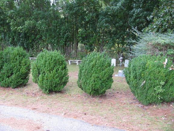
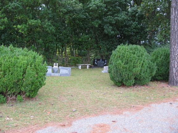
| Description | : | Coming from Ruby, S.C. on Highway 9 east. Turn left into the first drive for Ruby Cemetery. Go up to the top of the hill where road curves back to the right. Cemetery will be on the left. It looks like this is part of the Ruby Cemetery, but it is a separate cemetery. |
frequently asked questions (FAQ):
-
Where is Smith Cemetery?
Smith Cemetery is located at Highway 9 East Ruby, Chesterfield County ,South Carolina ,USA.
-
Smith Cemetery cemetery's updated grave count on graveviews.com?
0 memorials
-
Where are the coordinates of the Smith Cemetery?
Latitude: 34.7451040
Longitude: -80.1773000
Nearby Cemetories:
1. Ruby Cemetery
Ruby, Chesterfield County, USA
Coordinate: 34.7447014, -80.1769028
2. Brantley Family Cemetery
Ruby, Chesterfield County, USA
Coordinate: 34.7468360, -80.1879220
3. Campbell Cemetery
Ruby, Chesterfield County, USA
Coordinate: 34.7502340, -80.1913550
4. Melton Family Cemetery
Ruby, Chesterfield County, USA
Coordinate: 34.7428650, -80.1607650
5. Smith Family Cemetery
Ruby, Chesterfield County, USA
Coordinate: 34.7451960, -80.1958290
6. Hancock Cemetery
Ruby, Chesterfield County, USA
Coordinate: 34.7579830, -80.1923260
7. Smith Cemetery
Ruby, Chesterfield County, USA
Coordinate: 34.7449670, -80.2004310
8. Rock Springs Baptist Church Cemetery
Ruby, Chesterfield County, USA
Coordinate: 34.7338650, -80.1962580
9. Sellers Family Cemetery
Chesterfield, Chesterfield County, USA
Coordinate: 34.7437060, -80.1537960
10. Gaddy-Sellers Cemetery
Ruby, Chesterfield County, USA
Coordinate: 34.7500840, -80.1534820
11. Gulledge Family Cemetery
Ruby, Chesterfield County, USA
Coordinate: 34.7685860, -80.1802830
12. Sellers Cemetery
Ruby, Chesterfield County, USA
Coordinate: 34.7590400, -80.2025340
13. Mount Airy A.M.E. Zion Church Cemetery
Chesterfield, Chesterfield County, USA
Coordinate: 34.7315780, -80.1514510
14. Berkley Family Cemetery
Chesterfield, Chesterfield County, USA
Coordinate: 34.7376230, -80.1478220
15. Hopewell Baptist Church Cemetery
Chesterfield, Chesterfield County, USA
Coordinate: 34.7330600, -80.1486970
16. Ruby Church of God Cemetery
Ruby, Chesterfield County, USA
Coordinate: 34.7406250, -80.2151300
17. Massey Cemetery
Ruby, Chesterfield County, USA
Coordinate: 34.7783050, -80.1735600
18. Thompson Creek Baptist Church Cemetery New
Chesterfield County, USA
Coordinate: 34.7756004, -80.1575012
19. Gulledge Cemetery
Ruby, Chesterfield County, USA
Coordinate: 34.7370540, -80.2192710
20. Timmonsville Baptist Church Cemetery Old
Mount Croghan, Chesterfield County, USA
Coordinate: 34.7789940, -80.1903360
21. Davidson Grove Baptist Church Cemetery
Chesterfield, Chesterfield County, USA
Coordinate: 34.7645660, -80.1405070
22. Thompson Creek Baptist Church Cemetery Old
Chesterfield, Chesterfield County, USA
Coordinate: 34.7771740, -80.1573740
23. Ebenezer United Methodist Church Cemetery
Chesterfield, Chesterfield County, USA
Coordinate: 34.7602997, -80.1343994
24. Gulledge Cemetery
Mount Croghan, Chesterfield County, USA
Coordinate: 34.7516890, -80.2247430