
| Memorials | : | 0 |
| Location | : | Mount Croghan, Chesterfield County, USA |
| Coordinate | : | 34.7516890, -80.2247430 |
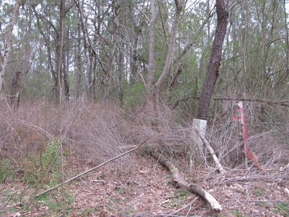
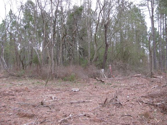
| Description | : | From Mount Croghan, S.C. take Highway 268. Turn left on Walter Gulledge Road (State Road S-13-441). Turn left on Hancock Hill Road (State Road S-13-905). Go about one quarter mile. Cemetery will be on the left across the road from the first brick house on the right. Cemetery has been abandoned. |
frequently asked questions (FAQ):
-
Where is Gulledge Cemetery?
Gulledge Cemetery is located at Hancock Hill Road Mount Croghan, Chesterfield County ,South Carolina ,USA.
-
Gulledge Cemetery cemetery's updated grave count on graveviews.com?
0 memorials
-
Where are the coordinates of the Gulledge Cemetery?
Latitude: 34.7516890
Longitude: -80.2247430
Nearby Cemetories:
1. Ruby Church of God Cemetery
Ruby, Chesterfield County, USA
Coordinate: 34.7406250, -80.2151300
2. Gulledge Cemetery
Ruby, Chesterfield County, USA
Coordinate: 34.7370540, -80.2192710
3. Mount Croghan Memorial Park
Mount Croghan, Chesterfield County, USA
Coordinate: 34.7686005, -80.2244034
4. Mount Croghan United Methodist Church Cemetery
Mount Croghan, Chesterfield County, USA
Coordinate: 34.7686430, -80.2240780
5. Lamb of God Outreach Ministries Church Cemetery
Mount Croghan, Chesterfield County, USA
Coordinate: 34.7699190, -80.2325430
6. Sellers Cemetery
Ruby, Chesterfield County, USA
Coordinate: 34.7590400, -80.2025340
7. Smith Cemetery
Ruby, Chesterfield County, USA
Coordinate: 34.7449670, -80.2004310
8. Smith Family Cemetery
Ruby, Chesterfield County, USA
Coordinate: 34.7451960, -80.1958290
9. Hancock Cemetery
Ruby, Chesterfield County, USA
Coordinate: 34.7579830, -80.1923260
10. Campbell Cemetery
Ruby, Chesterfield County, USA
Coordinate: 34.7502340, -80.1913550
11. Rock Springs Baptist Church Cemetery
Ruby, Chesterfield County, USA
Coordinate: 34.7338650, -80.1962580
12. Elizabeth Baptist Church Cemetery
Mount Croghan, Chesterfield County, USA
Coordinate: 34.7806015, -80.2130966
13. Brantley Family Cemetery
Ruby, Chesterfield County, USA
Coordinate: 34.7468360, -80.1879220
14. Cross Roads Baptist Church Cemetery
Ruby, Chesterfield County, USA
Coordinate: 34.7182999, -80.2386017
15. Timmonsville Baptist Church Cemetery Old
Mount Croghan, Chesterfield County, USA
Coordinate: 34.7789940, -80.1903360
16. Smith Cemetery
Ruby, Chesterfield County, USA
Coordinate: 34.7451040, -80.1773000
17. Timmonsville Baptist Church Cemetery
Mount Croghan, Chesterfield County, USA
Coordinate: 34.7825050, -80.1944070
18. Ruby Cemetery
Ruby, Chesterfield County, USA
Coordinate: 34.7447014, -80.1769028
19. Gulledge Family Cemetery
Ruby, Chesterfield County, USA
Coordinate: 34.7685860, -80.1802830
20. Center Grove Baptist Church
Mount Croghan, Chesterfield County, USA
Coordinate: 34.7682330, -80.2704480
21. Piney Grove A.M.E. Zion Church Cemetery
Mount Croghan, Chesterfield County, USA
Coordinate: 34.7406480, -80.2731540
22. Watson Cemetery
Ruby, Chesterfield County, USA
Coordinate: 34.7093120, -80.2077910
23. Massey Cemetery
Ruby, Chesterfield County, USA
Coordinate: 34.7783050, -80.1735600
24. Melton Family Cemetery
Ruby, Chesterfield County, USA
Coordinate: 34.7428650, -80.1607650