
| Memorials | : | 0 |
| Location | : | Spalding, South Holland District, England |
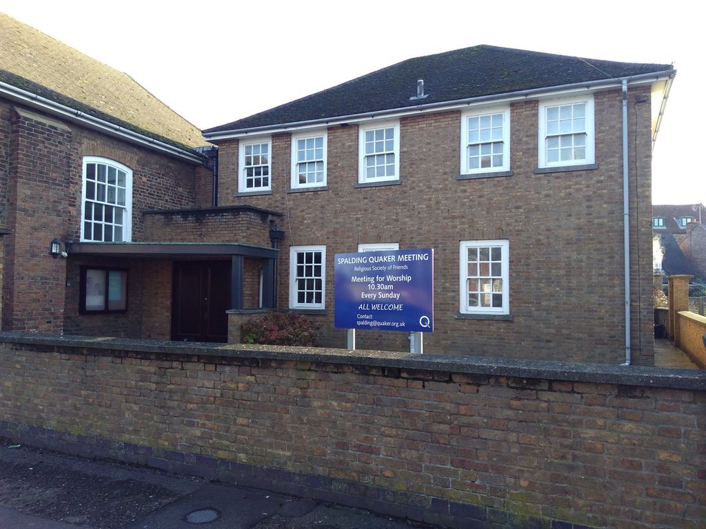
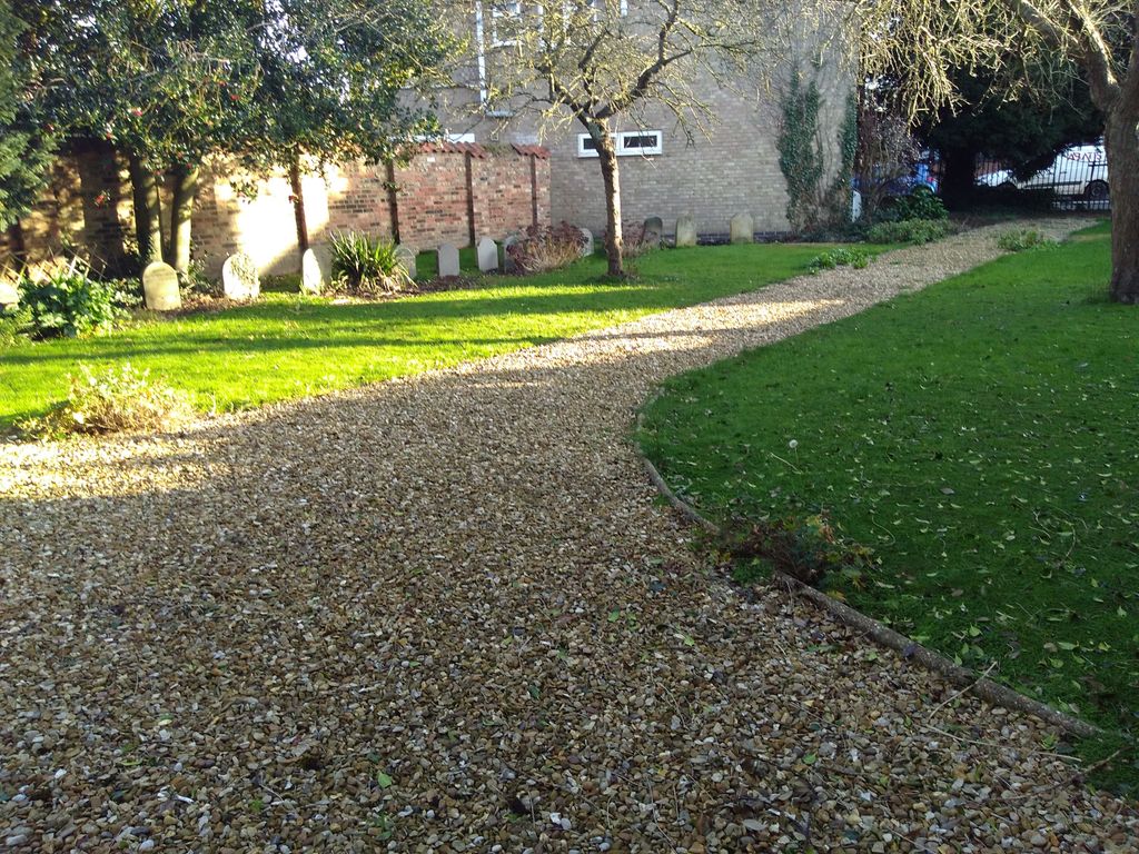
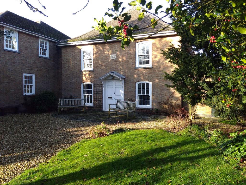
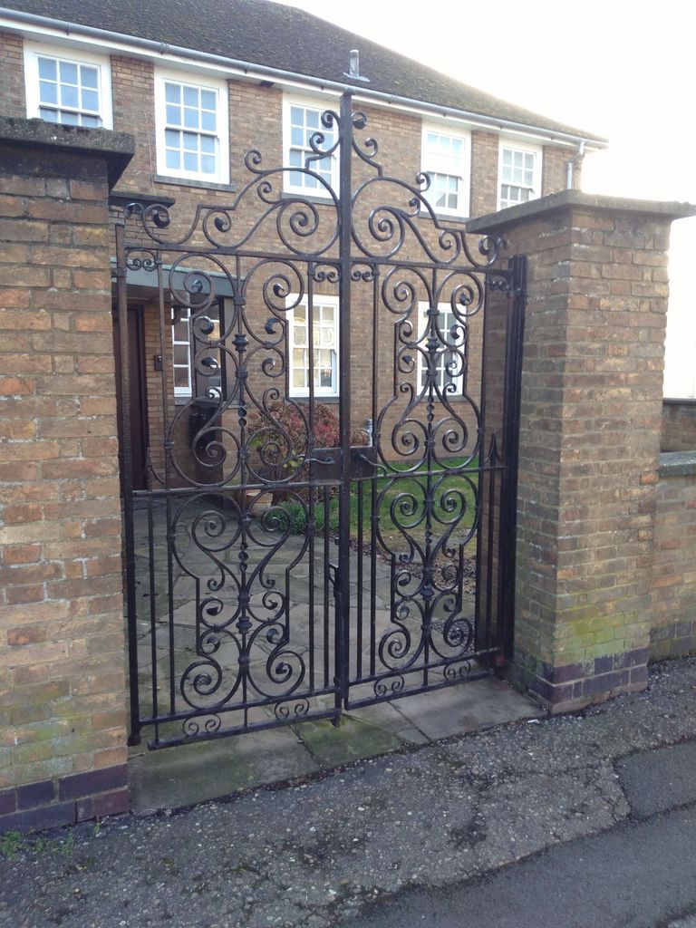
| Description | : | Quaker Meeting House and Burial Ground. Located between Westlode Street and Double Street, Spalding |
frequently asked questions (FAQ):
-
Where is Spalding Quaker Burial Ground?
Spalding Quaker Burial Ground is located at Spalding, South Holland District, England.
-
Spalding Quaker Burial Ground cemetery's updated grave count on graveviews.com?
0 memorials
Nearby Cemetories:
1. Crowland Abbey
Crowland, South Holland District, England
Coordinate: 52.8080873, -0.2216285
2. Gedney Hill Churchyard Extension
Gedney Hill, South Holland District, England
Coordinate: 52.8135340, -0.1589220
3. Holy Trinity Churchyard
Gedney Hill, South Holland District, England
4. Lutton Cemetery
Lutton, South Holland District, England
Coordinate: 52.7974840, -0.0385520
5. St Nicholas Churchyard
Lutton, South Holland District, England
Coordinate: 52.8016190, -0.0281347
6. St. Matthew's Churchyard
Sutton Bridge, South Holland District, England
Coordinate: 52.9071410, -0.2059100
7. St. John the Baptist Churchyard
Whaplode Drove, South Holland District, England
Coordinate: 52.9091670, -0.2055560
8. Christs Church Churchyard
Dawsmere, South Holland District, England
Coordinate: 52.9072790, -0.2050080
9. All Saints Churchyard
Holbeach, South Holland District, England
Coordinate: 52.8518081, -0.2166268
10. Holbeach Cemetery
Holbeach, South Holland District, England
Coordinate: 52.8903400, -0.1819700
11. St. John's Churchyard
Holbeach, South Holland District, England
12. Pinchbeck Cherry Holt Cemetery
Pinchbeck, South Holland District, England
13. St Bartholomew's Church West Pinchbeck
Pinchbeck, South Holland District, England
Coordinate: 52.8080873, -0.2216285
14. St. Mary's Churchyard
Pinchbeck, South Holland District, England
Coordinate: 52.8135340, -0.1589220
15. St. Edmund Churchyard
Sutton St Edmund, South Holland District, England
16. St. Mary's Churchyard
Whaplode, South Holland District, England
Coordinate: 52.7974840, -0.0385520
17. Whaplode Cemetery
Whaplode, South Holland District, England
Coordinate: 52.8016190, -0.0281347
18. Donington New Cemetery
Donington, South Holland District, England
Coordinate: 52.9071410, -0.2059100
19. Donington Old Cemetery
Donington, South Holland District, England
Coordinate: 52.9091670, -0.2055560
20. St. Mary and the Holy Rood Churchyard
Donington, South Holland District, England
Coordinate: 52.9072790, -0.2050080
21. St Gilbert and St Hugh Churchyard
Gosberton Clough, South Holland District, England
Coordinate: 52.8518081, -0.2166268
22. St. Margaret's Churchyard
Quadring, South Holland District, England
Coordinate: 52.8903400, -0.1819700
23. Baptist Church
Sutton St James, South Holland District, England
24. St. James Churchyard
Sutton St James, South Holland District, England