
| Memorials | : | 2087 |
| Location | : | Lincoln, Selwyn District, New Zealand |
| Website | : | www.selwyn.govt.nz/facilities-and-parks/cemeteries |
| Coordinate | : | -43.6404360, 172.4509420 |
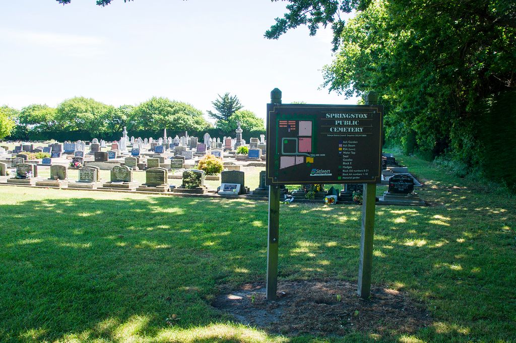
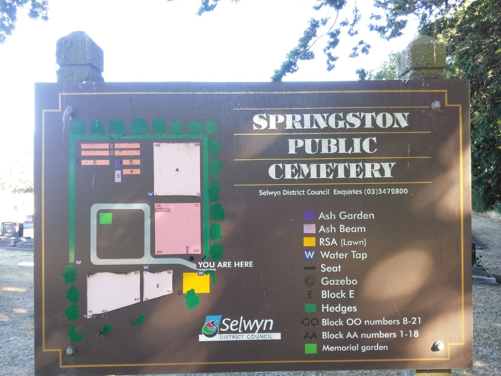
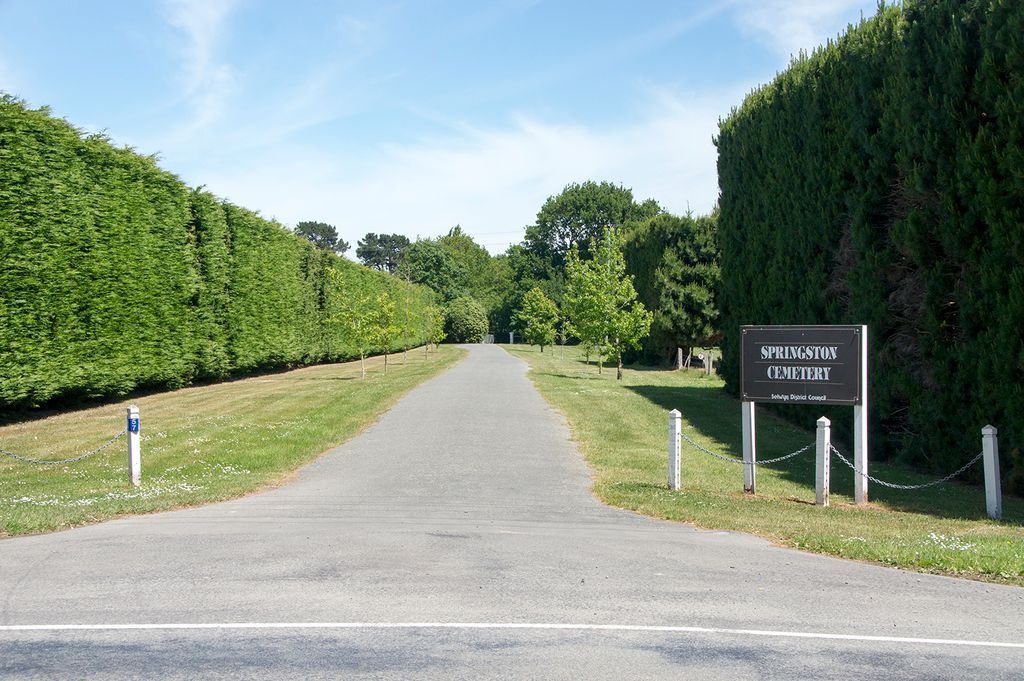
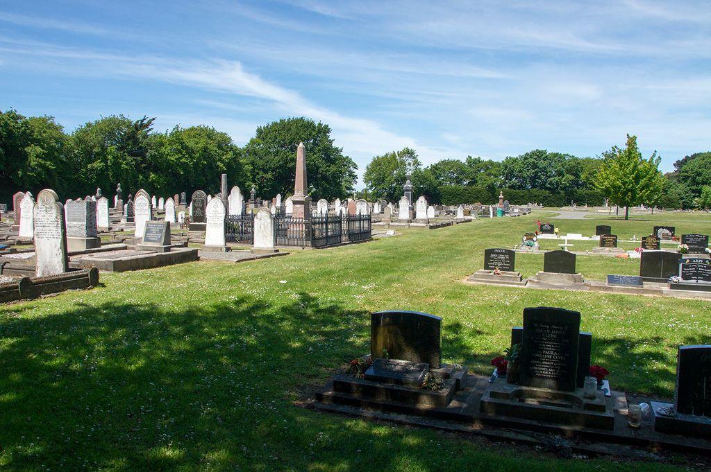
| Description | : | Springston Cemetery was established in 1872 on five acres of land given by the Canterbury Provincial Government, with the earliest burial dating from 1874. It is signposted shortly past Lincoln College about 2 kms outside Lincoln on Weedons Road. There are 3 Commonwealth War burials here - 1 of the First World War (Private George Henry Barnett, died 14 November 1918 at the age of 25 years) and 2 of the Second World War (Private James Ellis Ritchie, died 4 July 1945 aged 30 years and Leading Aircraftman Norman Joseph Graham Marshall, died 28 August 1941 aged 21 years). |
frequently asked questions (FAQ):
-
Where is Springston Cemetery?
Springston Cemetery is located at Weedons Road Lincoln, Selwyn District ,Canterbury , 7674New Zealand.
-
Springston Cemetery cemetery's updated grave count on graveviews.com?
141 memorials
-
Where are the coordinates of the Springston Cemetery?
Latitude: -43.6404360
Longitude: 172.4509420
Nearby Cemetories:
1. St Mary's Churchyard
Springston, Selwyn District, New Zealand
Coordinate: -43.6446560, 172.4263590
2. Lincoln Cemetery
Lincoln, Selwyn District, New Zealand
Coordinate: -43.6311790, 172.4862570
3. Prebbleton Cemetery
Prebbleton, Selwyn District, New Zealand
Coordinate: -43.5887200, 172.5053500
4. Shands Road Cemetery
Prebbleton, Selwyn District, New Zealand
Coordinate: -43.5792540, 172.4888630
5. All Saint's Churchyard
Prebbleton, Selwyn District, New Zealand
Coordinate: -43.5781040, 172.5131430
6. Weedons Cemetery
Weedons, Selwyn District, New Zealand
Coordinate: -43.5670010, 172.4015870
7. St Saviours Churchyard
Templeton, Christchurch City, New Zealand
Coordinate: -43.5501420, 172.4714620
8. St. Mary's Anglican Church Cemetery
Halswell, Christchurch City, New Zealand
Coordinate: -43.5794830, 172.5686440
9. Mount Magdala Cemetery
Halswell, Christchurch City, New Zealand
Coordinate: -43.5622700, 172.5672600
10. St Luke's Anglican Churchyard
Brookside, Selwyn District, New Zealand
Coordinate: -43.6903100, 172.3029000
11. St Paul's Anglican Church Cemetery
West Melton, Selwyn District, New Zealand
Coordinate: -43.5261700, 172.3701800
12. Yaldhurst Cemetery
Yaldhurst, Christchurch City, New Zealand
Coordinate: -43.5109640, 172.4765980
13. Church of the Epiphany Churchyard
Teddington, Christchurch City, New Zealand
Coordinate: -43.7016200, 172.6182200
14. Brookside Cemetery
Brookside, Selwyn District, New Zealand
Coordinate: -43.6751800, 172.2683700
15. St Peter's Anglican Churchyard
Upper Riccarton, Christchurch City, New Zealand
Coordinate: -43.5317570, 172.5701330
16. St Cuthbert's Cemetery
Governors Bay, Christchurch City, New Zealand
Coordinate: -43.6326900, 172.6458000
17. Avonhead Memorial Cemetery
Avonhead, Christchurch City, New Zealand
Coordinate: -43.5095390, 172.5503920
18. Sydenham Cemetery
Sydenham, Christchurch City, New Zealand
Coordinate: -43.5582330, 172.6254900
19. St Peters Churchyard
Teddington, Christchurch City, New Zealand
Coordinate: -43.6719000, 172.6590100
20. Addington Cemetery
Addington, Christchurch City, New Zealand
Coordinate: -43.5434880, 172.6235790
21. Halkett Presbyterian Churchyard
Halkett, Selwyn District, New Zealand
Coordinate: -43.5011000, 172.3220900
22. Waimairi Cemetery
Burnside, Christchurch City, New Zealand
Coordinate: -43.4997760, 172.5773860
23. Blessed Sacrament Cathedral
Christchurch, Christchurch City, New Zealand
Coordinate: -43.5384250, 172.6458880
24. Killinchy Cemetery
Leeston, Selwyn District, New Zealand
Coordinate: -43.7325610, 172.2411540