
| Memorials | : | 0 |
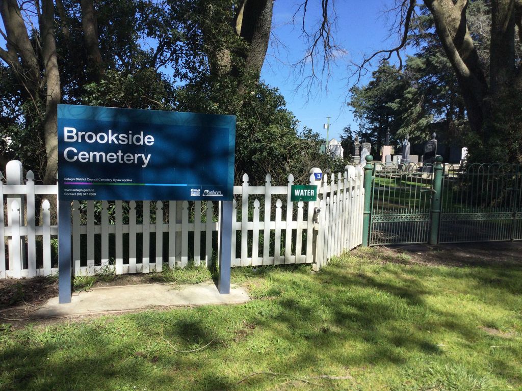
| Location | : | Brookside, Selwyn District, New Zealand |
| Coordinate | : | -43.6751800, 172.2683700 |
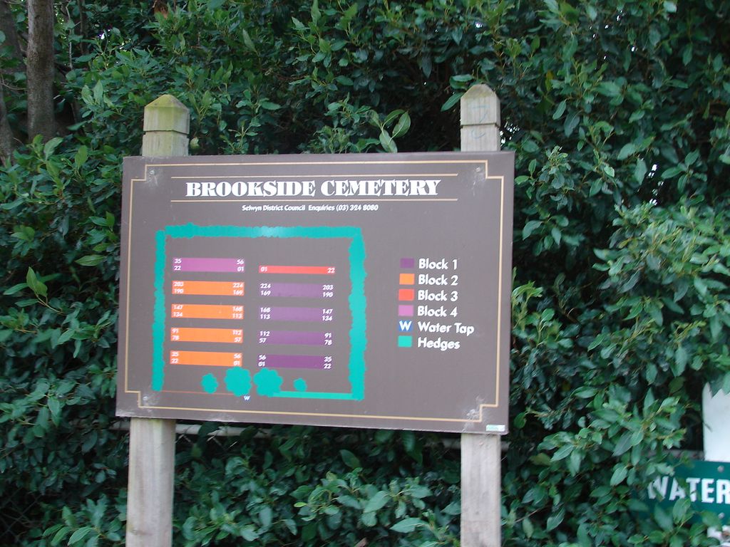
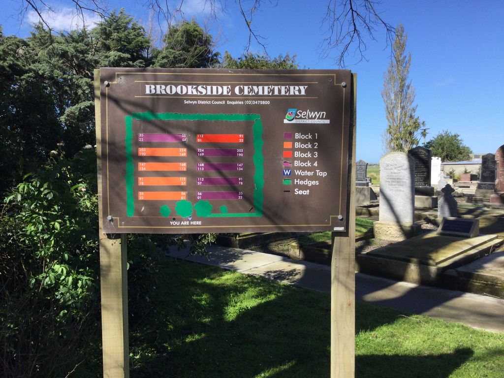
| Description | : | This cemetery was originally held in trust by the Brookside Presbyterian Church for the Presbyterians of Brookside. The first burial was in 1879, the same year that tree planting took place. After a request in 1949, the Ellesmere County Council took over control of the cemetery, and this was formalised in the early 1950s. |
frequently asked questions (FAQ):
-
Where is Brookside Cemetery?
Brookside Cemetery is located at Boundary Creek Road Brookside, Selwyn District ,Canterbury , 7682New Zealand.
-
Brookside Cemetery cemetery's updated grave count on graveviews.com?
0 memorials
-
Where are the coordinates of the Brookside Cemetery?
Latitude: -43.6751800
Longitude: 172.2683700
Nearby Cemetories:
1. St Luke's Anglican Churchyard
Brookside, Selwyn District, New Zealand
Coordinate: -43.6903100, 172.3029000
2. Killinchy Cemetery
Leeston, Selwyn District, New Zealand
Coordinate: -43.7325610, 172.2411540
3. Dunsandel Cemetery
Dunsandel, Selwyn District, New Zealand
Coordinate: -43.6710940, 172.1382620
4. Ellesmere Public Cemetery
Leeston, Selwyn District, New Zealand
Coordinate: -43.7775690, 172.2599220
5. Bishops Corner Cemetery
Southbridge, Selwyn District, New Zealand
Coordinate: -43.7824100, 172.2422900
6. Ellesmere Catholic Cemetery
Leeston, Selwyn District, New Zealand
Coordinate: -43.7845860, 172.2690990
7. St Mary's Churchyard
Springston, Selwyn District, New Zealand
Coordinate: -43.6446560, 172.4263590
8. St James Churchyard
Southbridge, Selwyn District, New Zealand
Coordinate: -43.8092360, 172.2502680
9. Springston Cemetery
Lincoln, Selwyn District, New Zealand
Coordinate: -43.6404360, 172.4509420
10. Weedons Cemetery
Weedons, Selwyn District, New Zealand
Coordinate: -43.5670010, 172.4015870
11. Lincoln Cemetery
Lincoln, Selwyn District, New Zealand
Coordinate: -43.6311790, 172.4862570
12. Sedgemere Cemetery
Sedgemere, Selwyn District, New Zealand
Coordinate: -43.8366600, 172.3149500
13. St Paul's Anglican Church Cemetery
West Melton, Selwyn District, New Zealand
Coordinate: -43.5261700, 172.3701800
14. Halkett Presbyterian Churchyard
Halkett, Selwyn District, New Zealand
Coordinate: -43.5011000, 172.3220900
15. St George's Anglican Churchyard
Kirwee, Selwyn District, New Zealand
Coordinate: -43.4940826, 172.2182446
16. Kirwee Cemetery
Kirwee, Selwyn District, New Zealand
Coordinate: -43.4935800, 172.2118100
17. Shands Road Cemetery
Prebbleton, Selwyn District, New Zealand
Coordinate: -43.5792540, 172.4888630
18. Greendale Cemetery
Greendale, Selwyn District, New Zealand
Coordinate: -43.5447560, 172.0772460
19. Prebbleton Cemetery
Prebbleton, Selwyn District, New Zealand
Coordinate: -43.5887200, 172.5053500
20. Hone Wetere Churchyard
Taumutu, Selwyn District, New Zealand
Coordinate: -43.8567680, 172.3586330
21. St Saviours Churchyard
Templeton, Christchurch City, New Zealand
Coordinate: -43.5501420, 172.4714620
22. St Matthew's Churchyard
Courtenay, Selwyn District, New Zealand
Coordinate: -43.4819060, 172.2792350
23. All Saint's Churchyard
Prebbleton, Selwyn District, New Zealand
Coordinate: -43.5781040, 172.5131430
24. Rakaia Cemetery
Rakaia, Ashburton District, New Zealand
Coordinate: -43.7548910, 171.9939270