| Memorials | : | 274 |
| Location | : | Weedons, Selwyn District, New Zealand |
| Website | : | www.selwyn.govt.nz/facilities-and-parks/cemeteries |
| Coordinate | : | -43.5670010, 172.4015870 |
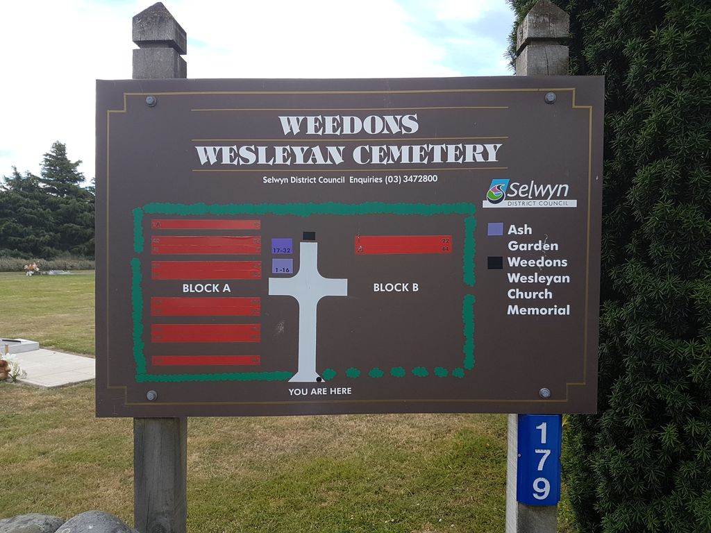
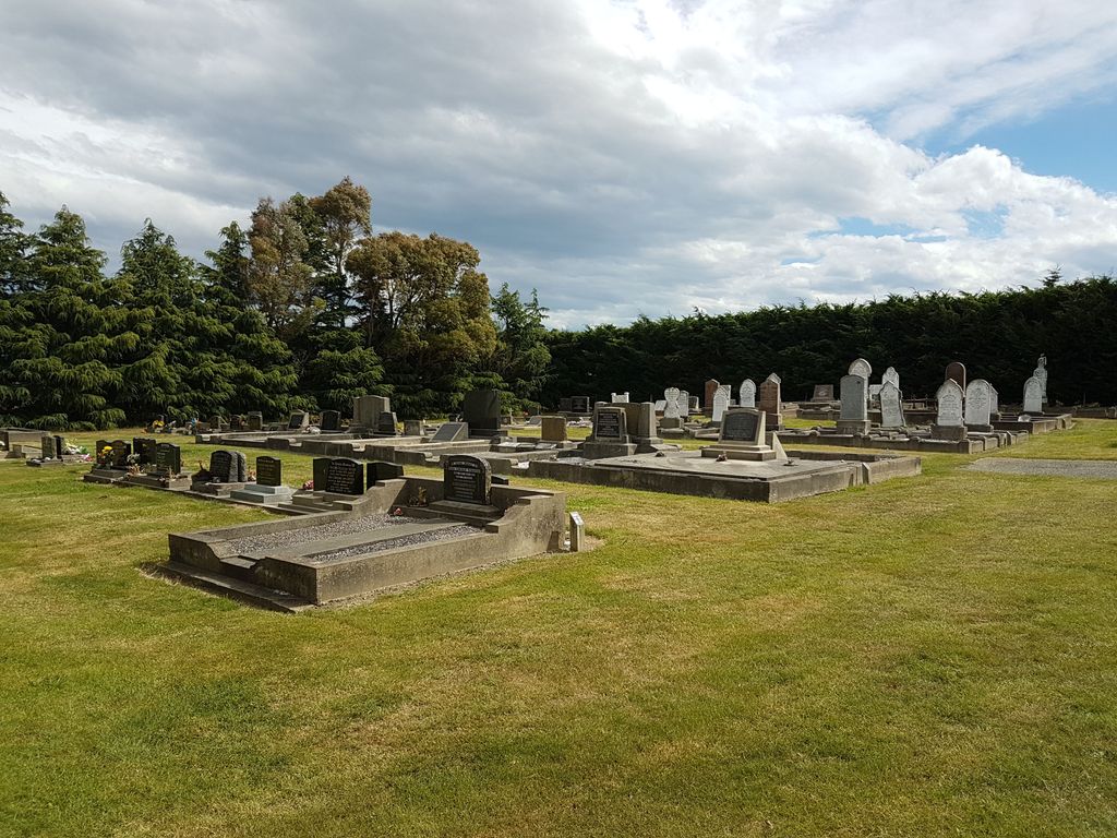
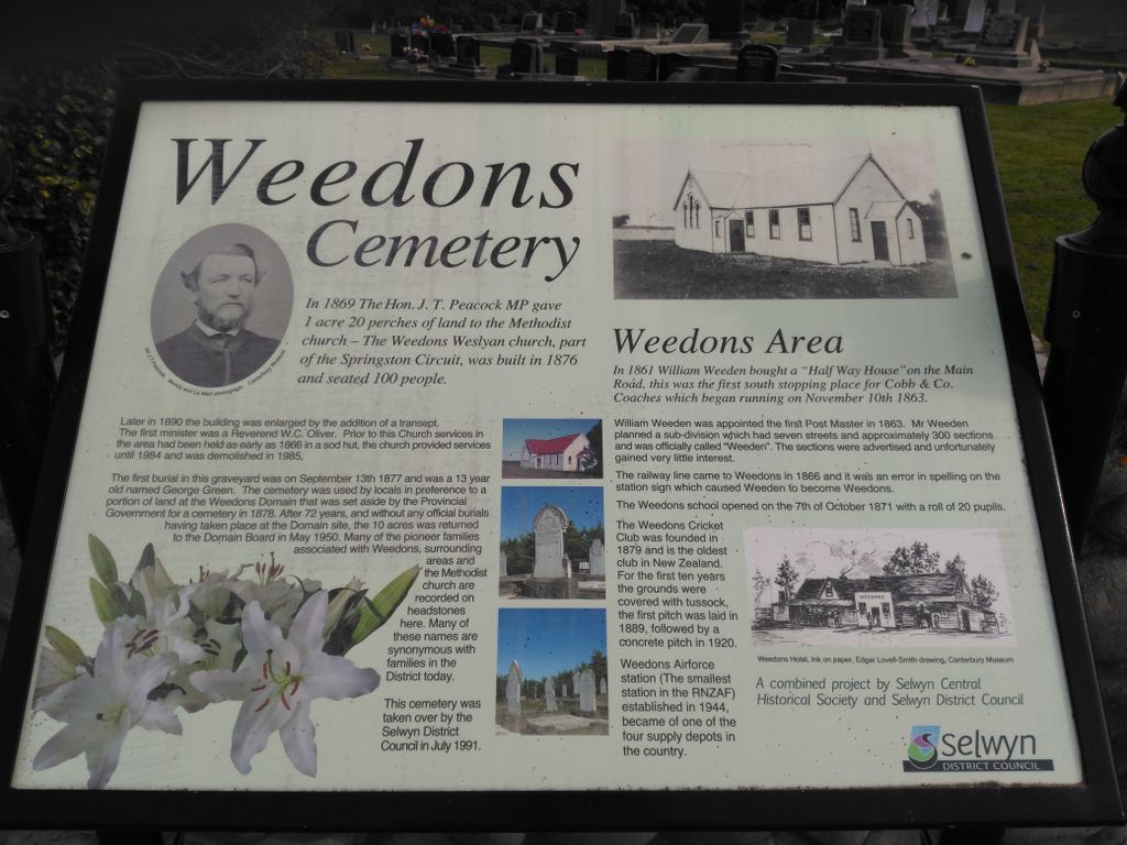
| Description | : | In 1869, the Hon J. T. Peacock MP gave 1 acre 20 perches of land to the Methodist Church - the Weedons Wesleyan church, part of the Springston Circuit, was built in 1876 and seated 100 people. Later in 1890 the building was enlarged by the addition of a transept. The first minister was a Reverend W. C. Oliver. Prior to this church, services in the area had been held as early as 1866 in a sod hut; the church then provided services until 1984. The church was demolished in 1985. The first burial in this graveyard was on 13th... Read More |
frequently asked questions (FAQ):
-
Where is Weedons Cemetery?
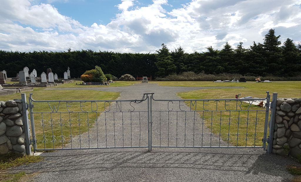
Weedons Cemetery is located at 179 Weedons Ross Road Weedons, Selwyn District ,Canterbury , 7675New Zealand.
-
Weedons Cemetery cemetery's updated grave count on graveviews.com?
1 memorials
-
Where are the coordinates of the Weedons Cemetery?
Latitude: -43.5670010
Longitude: 172.4015870
Nearby Cemetories:
1. St Paul's Anglican Church Cemetery
West Melton, Selwyn District, New Zealand
Coordinate: -43.5261700, 172.3701800
2. St Saviours Churchyard
Templeton, Christchurch City, New Zealand
Coordinate: -43.5501420, 172.4714620
3. Shands Road Cemetery
Prebbleton, Selwyn District, New Zealand
Coordinate: -43.5792540, 172.4888630
4. Yaldhurst Cemetery
Yaldhurst, Christchurch City, New Zealand
Coordinate: -43.5109640, 172.4765980
5. Prebbleton Cemetery
Prebbleton, Selwyn District, New Zealand
Coordinate: -43.5887200, 172.5053500
6. St Mary's Churchyard
Springston, Selwyn District, New Zealand
Coordinate: -43.6446560, 172.4263590
7. All Saint's Churchyard
Prebbleton, Selwyn District, New Zealand
Coordinate: -43.5781040, 172.5131430
8. Springston Cemetery
Lincoln, Selwyn District, New Zealand
Coordinate: -43.6404360, 172.4509420
9. Halkett Presbyterian Churchyard
Halkett, Selwyn District, New Zealand
Coordinate: -43.5011000, 172.3220900
10. Lincoln Cemetery
Lincoln, Selwyn District, New Zealand
Coordinate: -43.6311790, 172.4862570
11. Mount Magdala Cemetery
Halswell, Christchurch City, New Zealand
Coordinate: -43.5622700, 172.5672600
12. St. Mary's Anglican Church Cemetery
Halswell, Christchurch City, New Zealand
Coordinate: -43.5794830, 172.5686440
13. Avonhead Memorial Cemetery
Avonhead, Christchurch City, New Zealand
Coordinate: -43.5095390, 172.5503920
14. St Matthew's Churchyard
Courtenay, Selwyn District, New Zealand
Coordinate: -43.4819060, 172.2792350
15. St Peter's Anglican Churchyard
Upper Riccarton, Christchurch City, New Zealand
Coordinate: -43.5317570, 172.5701330
16. St Luke's Anglican Churchyard
Brookside, Selwyn District, New Zealand
Coordinate: -43.6903100, 172.3029000
17. St James Anglican Church
Harewood, Christchurch City, New Zealand
Coordinate: -43.4788400, 172.5579800
18. Waimairi Cemetery
Burnside, Christchurch City, New Zealand
Coordinate: -43.4997760, 172.5773860
19. Brookside Cemetery
Brookside, Selwyn District, New Zealand
Coordinate: -43.6751800, 172.2683700
20. St George's Anglican Churchyard
Kirwee, Selwyn District, New Zealand
Coordinate: -43.4940826, 172.2182446
21. Kirwee Cemetery
Kirwee, Selwyn District, New Zealand
Coordinate: -43.4935800, 172.2118100
22. Sydenham Cemetery
Sydenham, Christchurch City, New Zealand
Coordinate: -43.5582330, 172.6254900
23. Addington Cemetery
Addington, Christchurch City, New Zealand
Coordinate: -43.5434880, 172.6235790
24. St Paul's Anglican Church Cemetery
Papanui, Christchurch City, New Zealand
Coordinate: -43.4966540, 172.6067210


