
| Memorials | : | 0 |
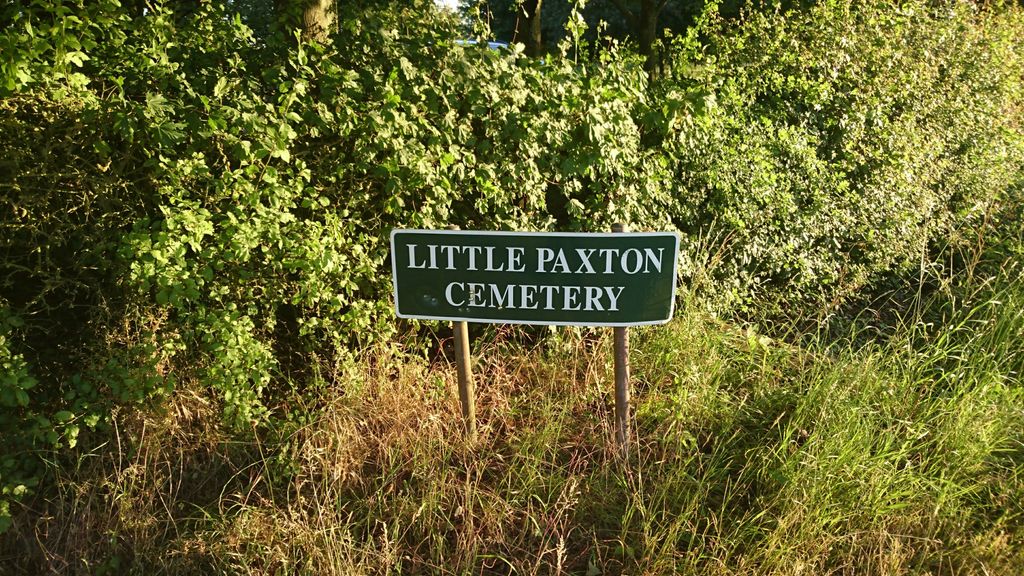
| Location | : | Little Paxton, Huntingdonshire District, England |
| Coordinate | : | 52.2548800, -0.2764600 |
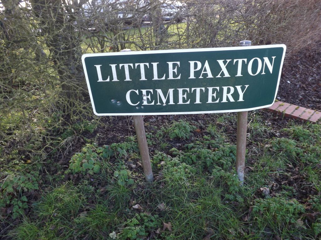
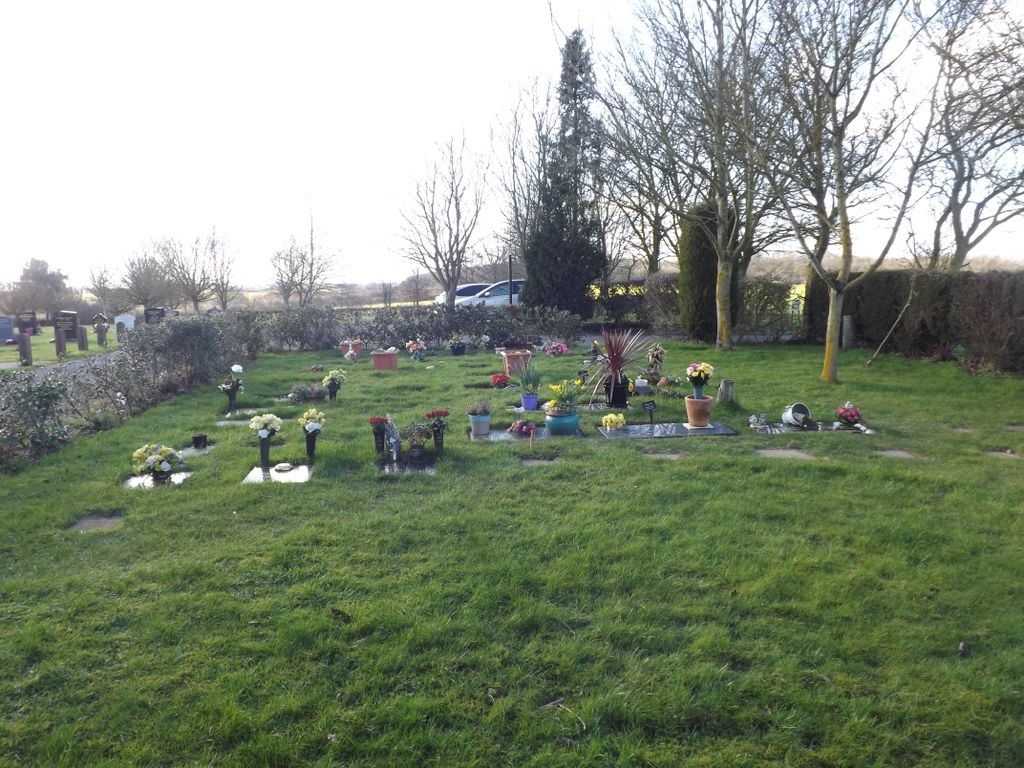
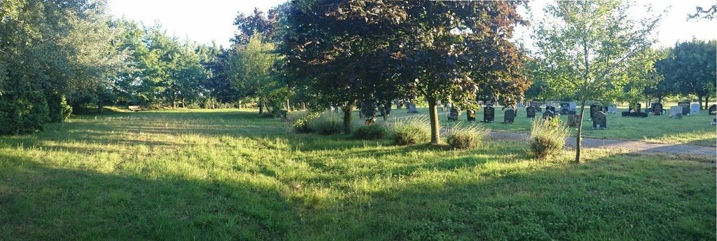
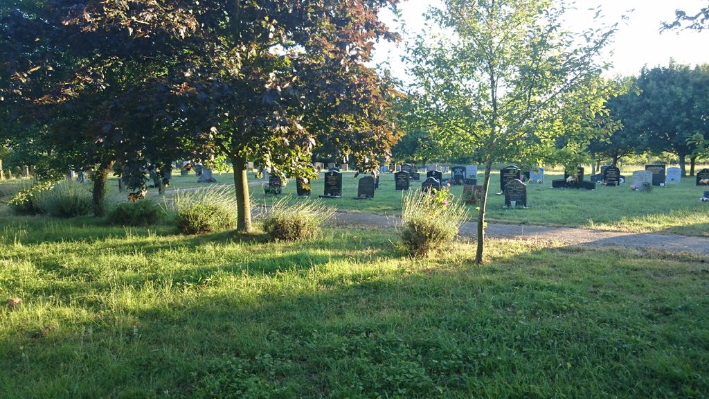
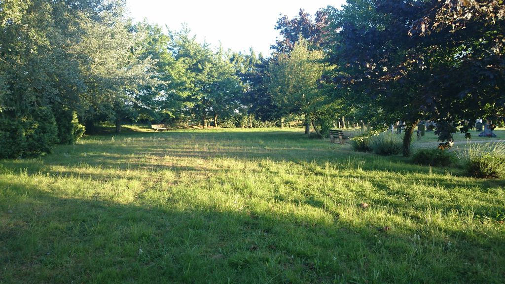
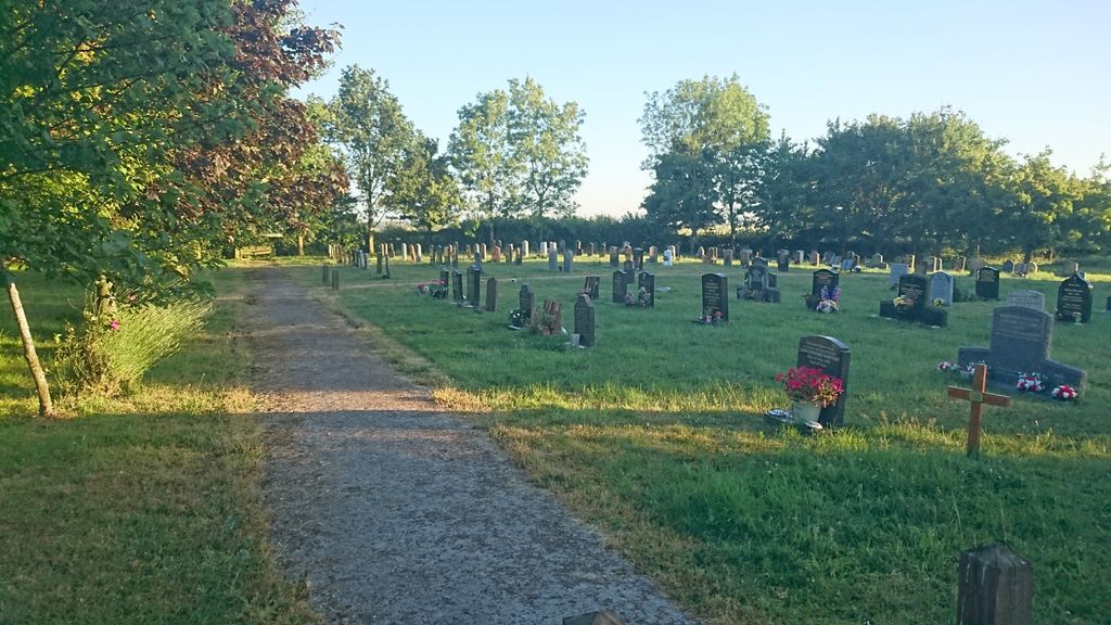
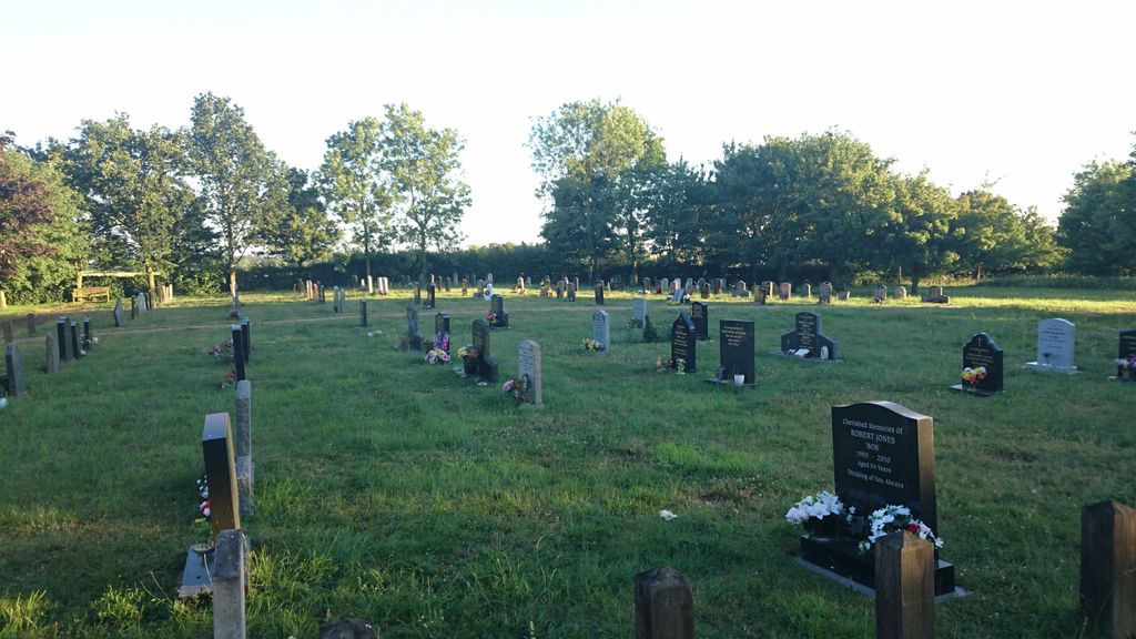
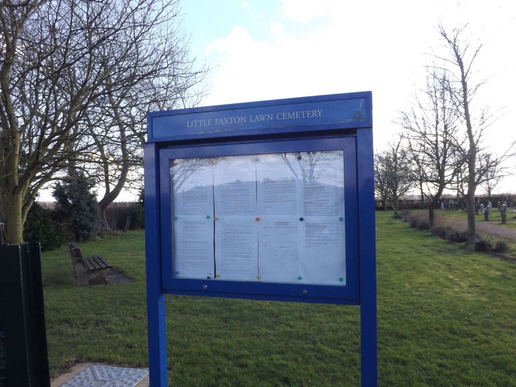
| Description | : | Little Paxton Parish Council owns and maintains Little Paxton Lawn Cemetery which is situated 2 miles outside the village off the B1041 Great North Road. |
frequently asked questions (FAQ):
-
Where is Little Paxton Cemetery?
Little Paxton Cemetery is located at Hail Weston Road Little Paxton, Huntingdonshire District ,Cambridgeshire , PE19 6WEEngland.
-
Little Paxton Cemetery cemetery's updated grave count on graveviews.com?
0 memorials
-
Where are the coordinates of the Little Paxton Cemetery?
Latitude: 52.2548800
Longitude: -0.2764600
Nearby Cemetories:
1. St Leonard Churchyard
Southoe, Huntingdonshire District, England
Coordinate: 52.2654070, -0.2679460
2. St Nicholas Churchyard
Hail Weston, Huntingdonshire District, England
Coordinate: 52.2447100, -0.2945500
3. St. Lawrence's Churchyard
Diddington, Huntingdonshire District, England
Coordinate: 52.2784800, -0.2578000
4. New Street Baptist Church St Neots
St Neots, Huntingdonshire District, England
Coordinate: 52.2290700, -0.2686400
5. St. Neots Priory
St Neots, Huntingdonshire District, England
Coordinate: 52.2281710, -0.2705280
6. Parish Church of St. Mary the Virgin
St Neots, Huntingdonshire District, England
Coordinate: 52.2268700, -0.2671700
7. Holy Trinity Churchyard
Great Paxton, Huntingdonshire District, England
Coordinate: 52.2620300, -0.2291600
8. St. Neots Cemetery
St Neots, Huntingdonshire District, England
Coordinate: 52.2253680, -0.2641010
9. Eynesbury Old Cemetery
Huntingdonshire District, England
Coordinate: 52.2243800, -0.2705300
10. Lucks Lane Cemetery
Buckden, Huntingdonshire District, England
Coordinate: 52.2910048, -0.2530740
11. St Mary Churchyard
Eaton Socon, Huntingdonshire District, England
Coordinate: 52.2156190, -0.2882830
12. St Mary's Churchyard
Buckden, Huntingdonshire District, England
Coordinate: 52.2941000, -0.2526000
13. St Peter's Churchyard
Offord d'Arcy, Huntingdonshire District, England
Coordinate: 52.2824000, -0.2178000
14. St Andrew Churchyard
Great Staughton, Huntingdonshire District, England
Coordinate: 52.2691765, -0.3504967
15. Old Cemetery
Great Staughton, Huntingdonshire District, England
Coordinate: 52.2694189, -0.3546817
16. All Saints Churchyard
Offord Cluny, Huntingdonshire District, England
Coordinate: 52.2878400, -0.2144120
17. St. Andrew's Church Cemetery
Great Staughton, Huntingdonshire District, England
Coordinate: 52.2677700, -0.3573400
18. St Deny's Churchyard
Little Barford, Bedford Borough, England
Coordinate: 52.1982210, -0.2785350
19. Bushmead Priory
Bushmead, Bedford Borough, England
Coordinate: 52.2336110, -0.3675000
20. The Little Staughton cemetery burial ground
Little Staughton, Bedford Borough, England
Coordinate: 52.2450015, -0.3776441
21. All Saints Churchyard
Little Staughton, Bedford Borough, England
Coordinate: 52.2539810, -0.3792070
22. St Botolph Churchyard
Graveley, South Cambridgeshire District, England
Coordinate: 52.2605200, -0.1701700
23. St. Denys Churchyard
Colmworth, Bedford Borough, England
Coordinate: 52.2143200, -0.3785620
24. Brampton Cemetery
Brampton, Huntingdonshire District, England
Coordinate: 52.3212480, -0.2177190