
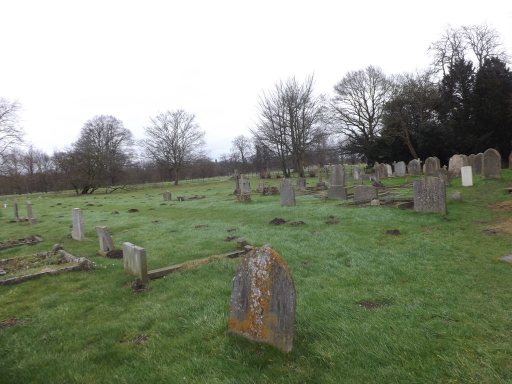
| Memorials | : | 1 |
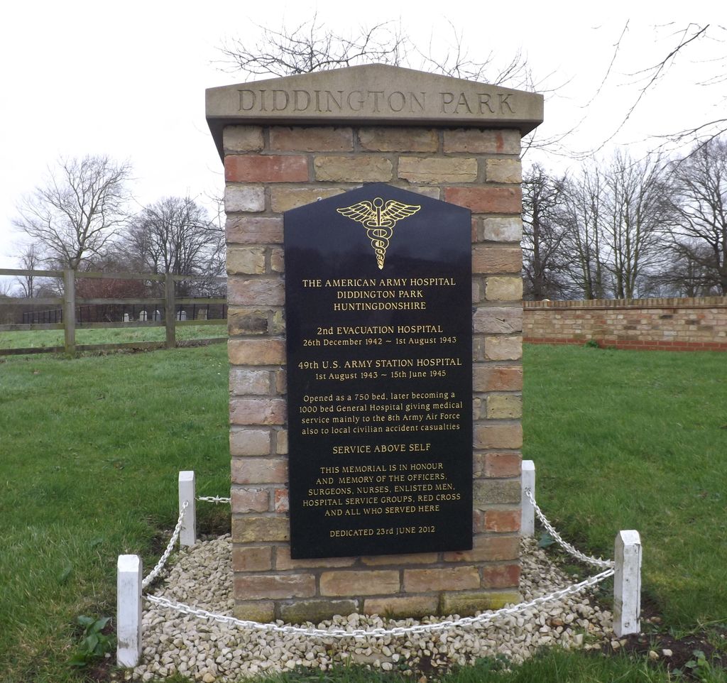
| Location | : | Diddington, Huntingdonshire District, England |
| Coordinate | : | 52.2784800, -0.2578000 |
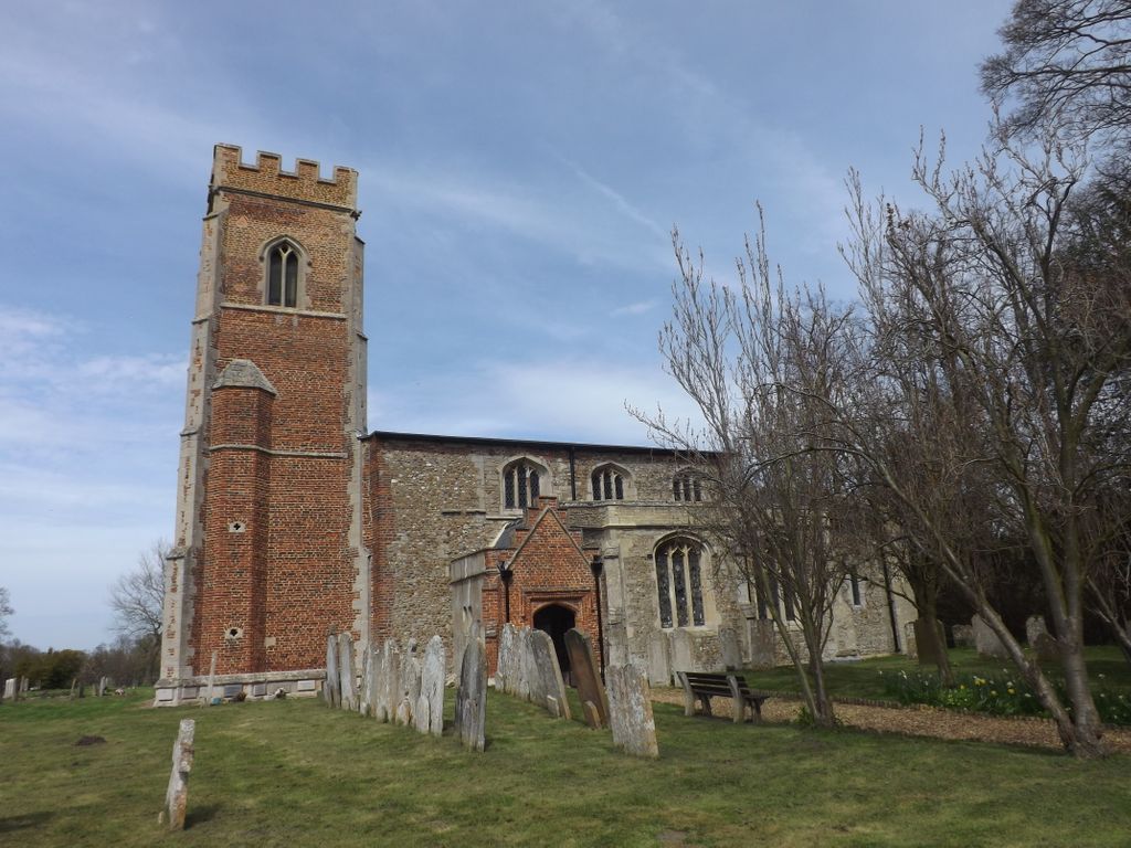
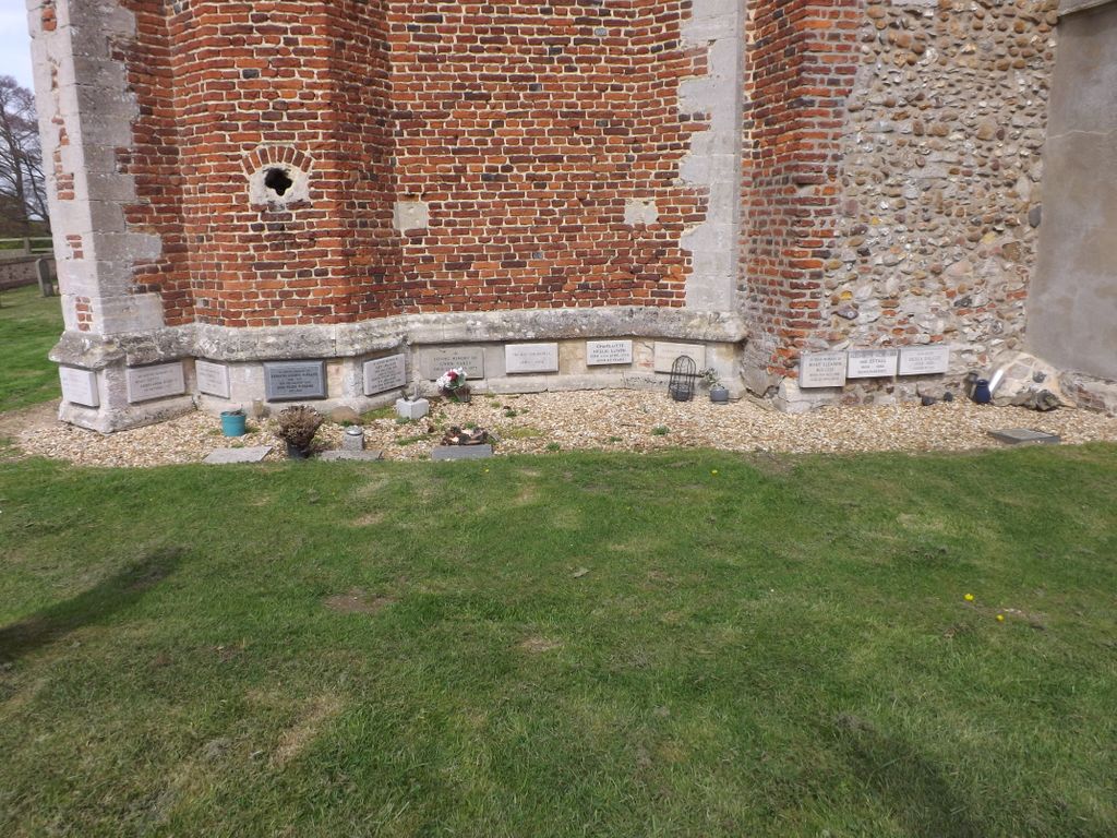
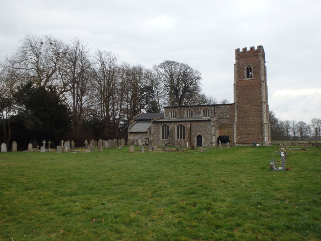
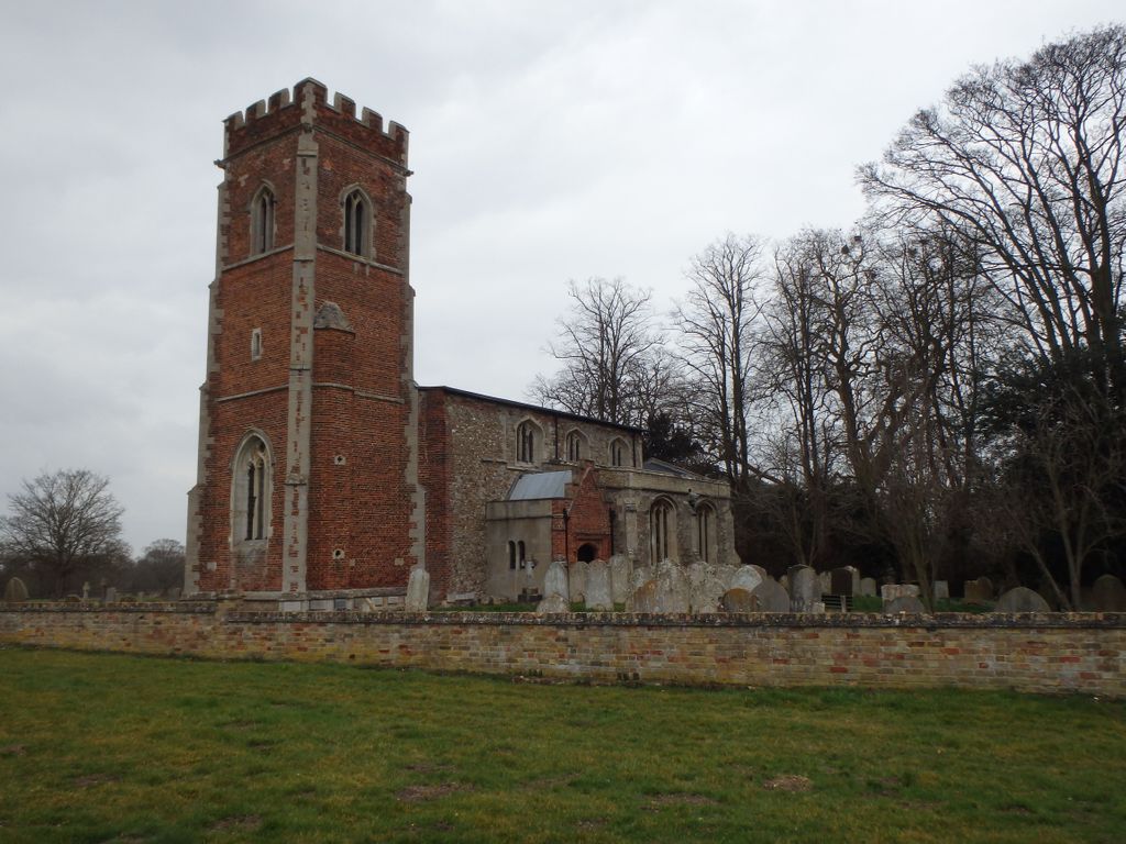
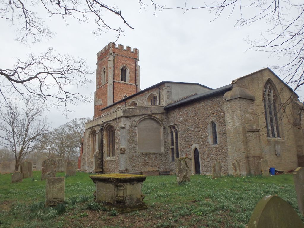
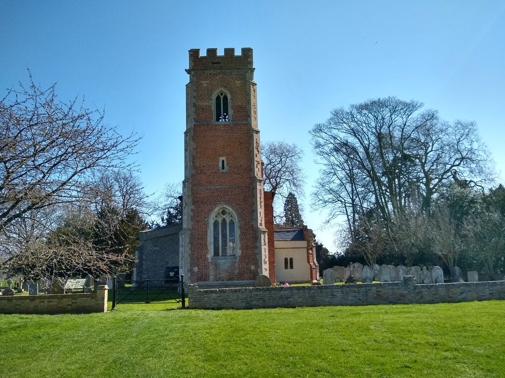
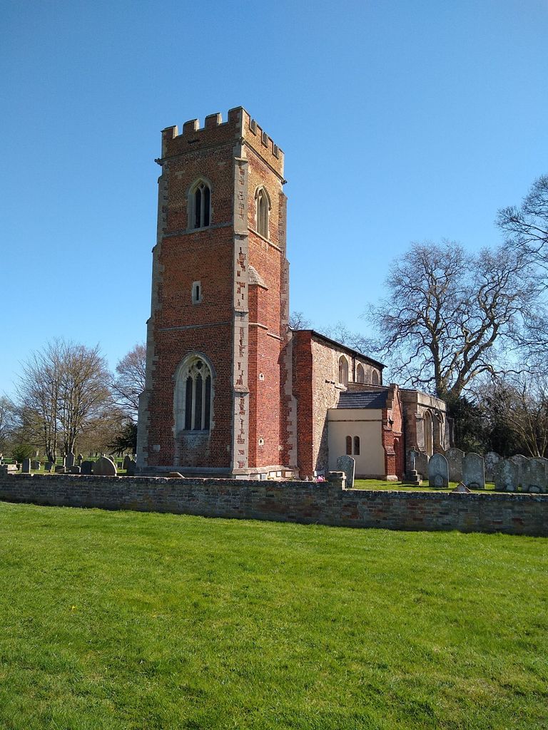
| Description | : | The parish church of St Lawrence consists of a chancel with modern north vestry, nave, north aisle, south chapel, west tower, and south porch. There was a church on the site by 1086, but the present church dates from the 13th century when the chancel and nave were completed. The tower was added in the 16th century. The original 13th century font is still present |
frequently asked questions (FAQ):
-
Where is St. Lawrence's Churchyard?
St. Lawrence's Churchyard is located at Diddington, Huntingdonshire District ,Cambridgeshire , PE19 5XTEngland.
-
St. Lawrence's Churchyard cemetery's updated grave count on graveviews.com?
1 memorials
-
Where are the coordinates of the St. Lawrence's Churchyard?
Latitude: 52.2784800
Longitude: -0.2578000
Nearby Cemetories:
1. Lucks Lane Cemetery
Buckden, Huntingdonshire District, England
Coordinate: 52.2910048, -0.2530740
2. St Leonard Churchyard
Southoe, Huntingdonshire District, England
Coordinate: 52.2654070, -0.2679460
3. St Mary's Churchyard
Buckden, Huntingdonshire District, England
Coordinate: 52.2941000, -0.2526000
4. Holy Trinity Churchyard
Great Paxton, Huntingdonshire District, England
Coordinate: 52.2620300, -0.2291600
5. St Peter's Churchyard
Offord d'Arcy, Huntingdonshire District, England
Coordinate: 52.2824000, -0.2178000
6. Little Paxton Cemetery
Little Paxton, Huntingdonshire District, England
Coordinate: 52.2548800, -0.2764600
7. All Saints Churchyard
Offord Cluny, Huntingdonshire District, England
Coordinate: 52.2878400, -0.2144120
8. St Nicholas Churchyard
Hail Weston, Huntingdonshire District, England
Coordinate: 52.2447100, -0.2945500
9. Brampton Cemetery
Brampton, Huntingdonshire District, England
Coordinate: 52.3212480, -0.2177190
10. New Street Baptist Church St Neots
St Neots, Huntingdonshire District, England
Coordinate: 52.2290700, -0.2686400
11. St. Neots Priory
St Neots, Huntingdonshire District, England
Coordinate: 52.2281710, -0.2705280
12. Parish Church of St. Mary the Virgin
St Neots, Huntingdonshire District, England
Coordinate: 52.2268700, -0.2671700
13. St. Neots Cemetery
St Neots, Huntingdonshire District, England
Coordinate: 52.2253680, -0.2641010
14. Eynesbury Old Cemetery
Huntingdonshire District, England
Coordinate: 52.2243800, -0.2705300
15. St Botolph Churchyard
Graveley, South Cambridgeshire District, England
Coordinate: 52.2605200, -0.1701700
16. St Andrew Churchyard
Great Staughton, Huntingdonshire District, England
Coordinate: 52.2691765, -0.3504967
17. Old Cemetery
Great Staughton, Huntingdonshire District, England
Coordinate: 52.2694189, -0.3546817
18. St. Andrew's Church Cemetery
Great Staughton, Huntingdonshire District, England
Coordinate: 52.2677700, -0.3573400
19. GODMANCHESTER LAWN CEMETERY
Godmanchester, Huntingdonshire District, England
Coordinate: 52.3091902, -0.1655030
20. St Mary Churchyard
Eaton Socon, Huntingdonshire District, England
Coordinate: 52.2156190, -0.2882830
21. St. Mary the Virgin Churchyard
Godmanchester, Huntingdonshire District, England
Coordinate: 52.3202190, -0.1744400
22. Godmanchester War Memorial
Godmanchester, Huntingdonshire District, England
Coordinate: 52.3225780, -0.1759580
23. All Saints Parish Churchyard
Huntingdon, Huntingdonshire District, England
Coordinate: 52.3307170, -0.1849760
24. St Marys Churchyard
Huntingdon, Huntingdonshire District, England
Coordinate: 52.3289548, -0.1799861