
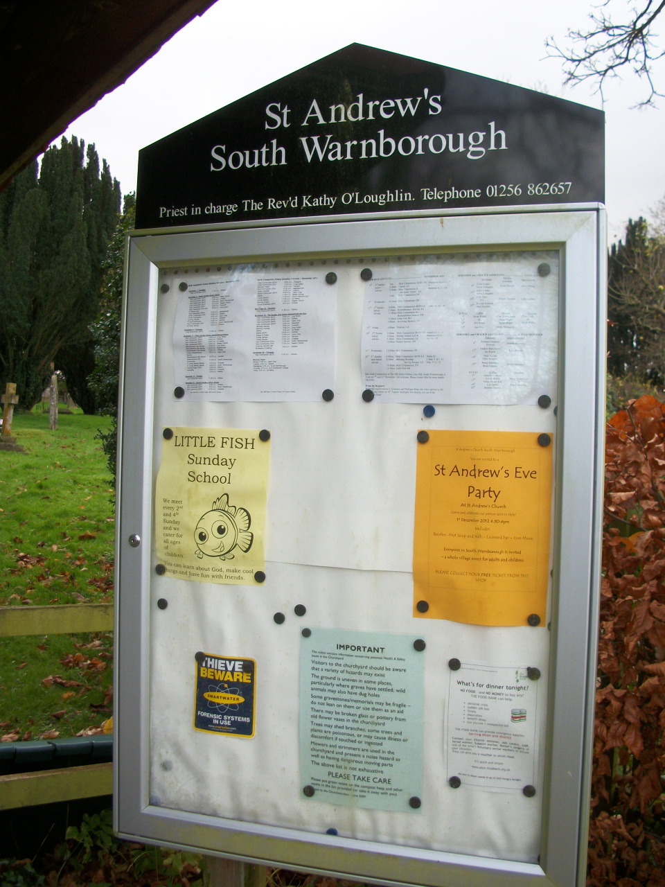
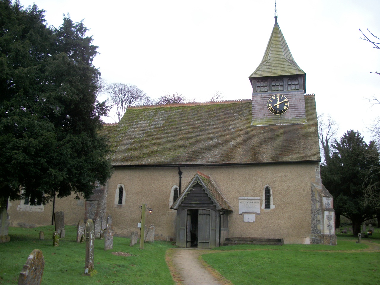
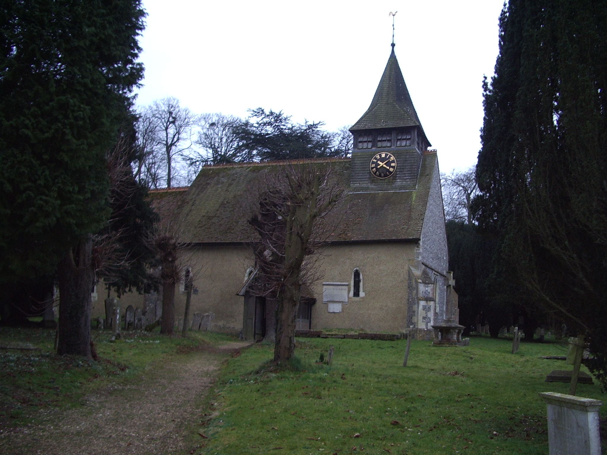
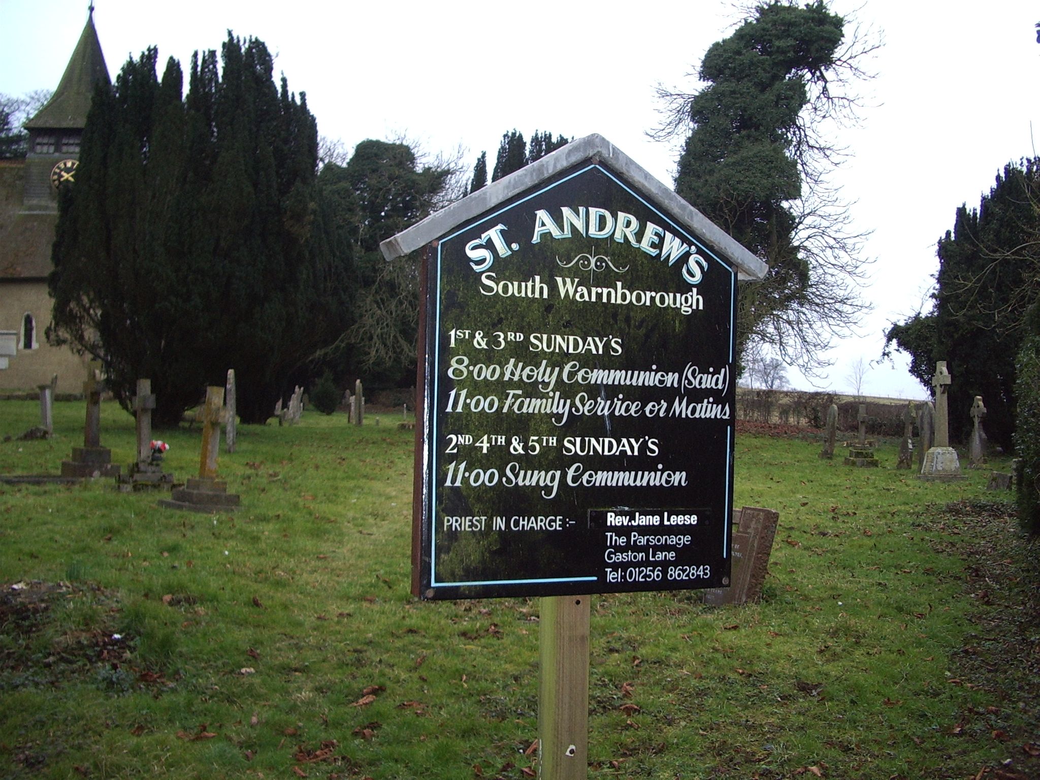
| Memorials | : | 130 |
| Location | : | South Warnborough, Hart District, England |
| Coordinate | : | 51.2198000, -0.9684700 |
frequently asked questions (FAQ):
-
Where is St Andrew Churchyard?
St Andrew Churchyard is located at South Warnborough, Hart District ,Hampshire , RG29 1RSEngland.
-
St Andrew Churchyard cemetery's updated grave count on graveviews.com?
130 memorials
-
Where are the coordinates of the St Andrew Churchyard?
Latitude: 51.2198000
Longitude: -0.9684700
Nearby Cemetories:
1. Long Sutton Cemetery
Long Sutton, Hart District, England
Coordinate: 51.2193610, -0.9465190
2. All Saints Churchyard
Long Sutton, Hart District, England
Coordinate: 51.2207300, -0.9432800
3. St. Mary's Churchyard
Upton Grey, Basingstoke and Deane Borough, England
Coordinate: 51.2307800, -1.0025200
4. St Lawrence Churchyard
Weston Patrick, Basingstoke and Deane Borough, England
Coordinate: 51.2170740, -1.0121040
5. Froyle Cemetery
Froyle, East Hampshire District, England
Coordinate: 51.1941910, -0.9479140
6. St. Mary's Churchyard
Greywell, Hart District, England
Coordinate: 51.2536700, -0.9719700
7. All Saints Churchyard
Odiham, Hart District, England
Coordinate: 51.2529200, -0.9407000
8. Odiham Cemetery
Odiham, Hart District, England
Coordinate: 51.2521010, -0.9360700
9. All Saints Churchyard
Tunworth, Basingstoke and Deane Borough, England
Coordinate: 51.2312600, -1.0367400
10. St Mary Churchyard
Mapledurwell, Basingstoke and Deane Borough, England
Coordinate: 51.2538100, -1.0161300
11. St Stephen Churchyard
Up Nately, Basingstoke and Deane Borough, England
Coordinate: 51.2627500, -0.9971500
12. Assumption of the Blessed Virgin Mary Churchyard
Froyle, East Hampshire District, England
Coordinate: 51.1800930, -0.9203620
13. St Mary Churchyard
Herriard, Basingstoke and Deane Borough, England
Coordinate: 51.2093000, -1.0515700
14. Holy Rood Churchyard
Holybourne, East Hampshire District, England
Coordinate: 51.1657120, -0.9535570
15. St Peter and St Paul Churchyard
Shalden, East Hampshire District, England
Coordinate: 51.1703300, -1.0097400
16. St. Swithun Churchyard
Nately Scures, Basingstoke and Deane Borough, England
Coordinate: 51.2719600, -1.0022200
17. St Mary Churchyard
Lasham, East Hampshire District, England
Coordinate: 51.1778500, -1.0346000
18. St. Mary's Churchyard
Bentley, East Hampshire District, England
Coordinate: 51.1957900, -0.8791600
19. St Nicholas Churchyard
Newnham, Basingstoke and Deane Borough, England
Coordinate: 51.2806190, -0.9922190
20. St John the Evangelist Churchyard
Hook, Hart District, England
Coordinate: 51.2833900, -0.9601300
21. Hook Cemetery
Hook, Hart District, England
Coordinate: 51.2840400, -0.9602700
22. Alton Cemetery
Alton, East Hampshire District, England
Coordinate: 51.1540450, -0.9763080
23. All Saints Churchyard
Crondall, Hart District, England
Coordinate: 51.2299830, -0.8633050
24. Quaker Meeting House and Burial Ground
Alton, East Hampshire District, England
Coordinate: 51.1519303, -0.9758392