
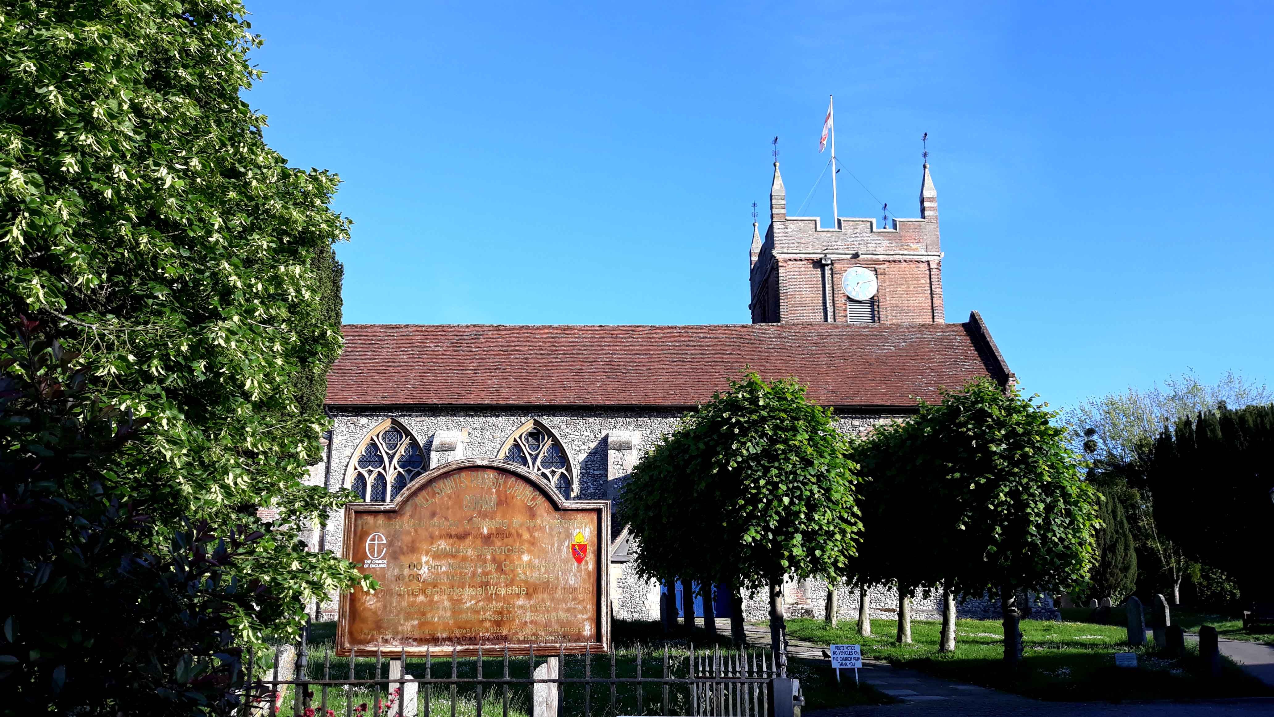
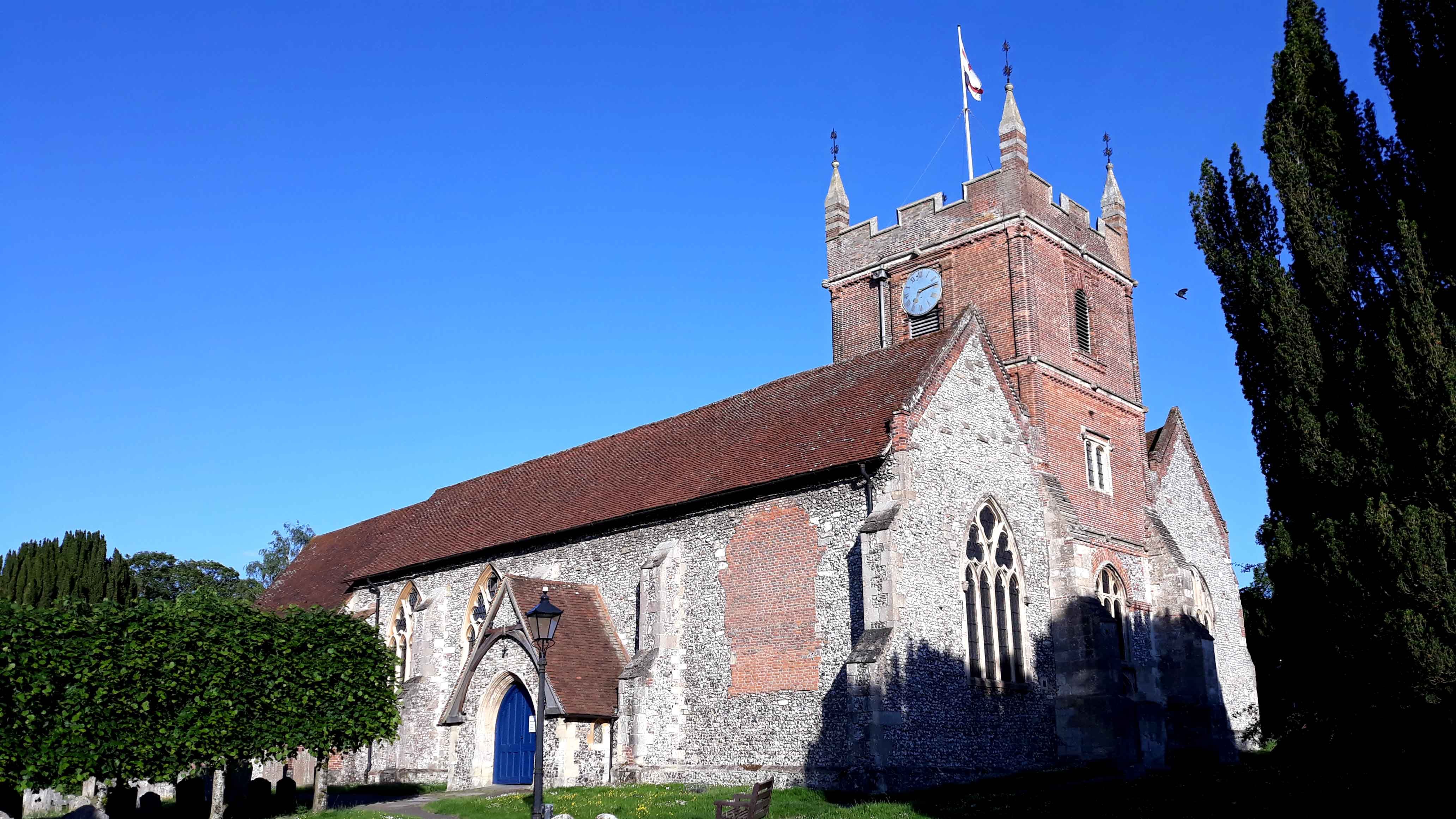
| Memorials | : | 181 |
| Location | : | Odiham, Hart District, England |
| Coordinate | : | 51.2529200, -0.9407000 |
frequently asked questions (FAQ):
-
Where is All Saints Churchyard?
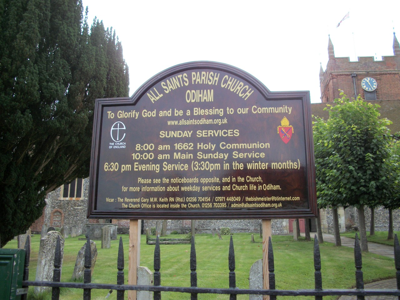
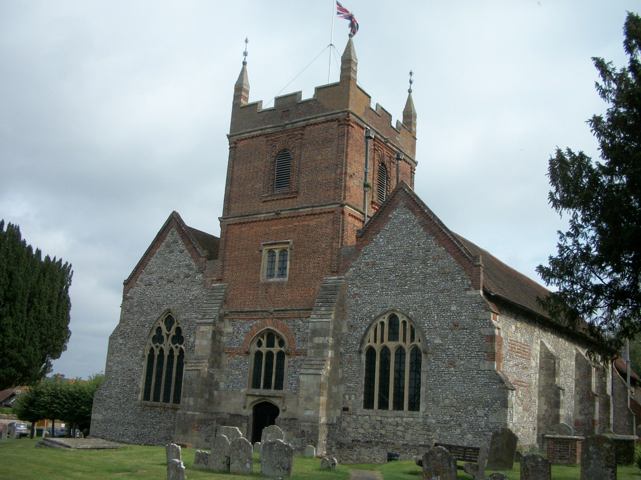
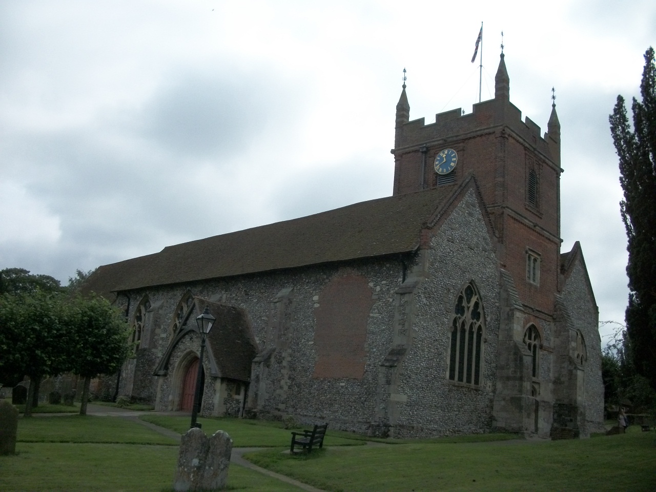
All Saints Churchyard is located at The Bury Odiham, Hart District ,Hampshire , RG29 1LZEngland.
-
All Saints Churchyard cemetery's updated grave count on graveviews.com?
181 memorials
-
Where are the coordinates of the All Saints Churchyard?
Latitude: 51.2529200
Longitude: -0.9407000
Nearby Cemetories:
1. Odiham Cemetery
Odiham, Hart District, England
Coordinate: 51.2521010, -0.9360700
2. St. Mary's Churchyard
Greywell, Hart District, England
Coordinate: 51.2536700, -0.9719700
3. All Saints Churchyard
Long Sutton, Hart District, England
Coordinate: 51.2207300, -0.9432800
4. St John the Evangelist Churchyard
Hook, Hart District, England
Coordinate: 51.2833900, -0.9601300
5. Hook Cemetery
Hook, Hart District, England
Coordinate: 51.2840400, -0.9602700
6. Long Sutton Cemetery
Long Sutton, Hart District, England
Coordinate: 51.2193610, -0.9465190
7. St Mary the Virgin Churchyard
Winchfield, Hart District, England
Coordinate: 51.2764500, -0.9012600
8. St Stephen Churchyard
Up Nately, Basingstoke and Deane Borough, England
Coordinate: 51.2627500, -0.9971500
9. St Andrew Churchyard
South Warnborough, Hart District, England
Coordinate: 51.2198000, -0.9684700
10. All Saints Churchyard
Dogmersfield, Hart District, England
Coordinate: 51.2674100, -0.8810800
11. St Nicholas Churchyard
Newnham, Basingstoke and Deane Borough, England
Coordinate: 51.2806190, -0.9922190
12. St. Swithun Churchyard
Nately Scures, Basingstoke and Deane Borough, England
Coordinate: 51.2719600, -1.0022200
13. St. Mary's Churchyard
Upton Grey, Basingstoke and Deane Borough, England
Coordinate: 51.2307800, -1.0025200
14. St Mary Churchyard
Mapledurwell, Basingstoke and Deane Borough, England
Coordinate: 51.2538100, -1.0161300
15. St Mary Churchyard
Hartley Wintney, Hart District, England
Coordinate: 51.2970100, -0.9003200
16. All Saints Churchyard
Crondall, Hart District, England
Coordinate: 51.2299830, -0.8633050
17. Rotherwick Churchyard
Rotherwick, Hart District, England
Coordinate: 51.3010190, -0.9806320
18. St Lawrence Churchyard
Weston Patrick, Basingstoke and Deane Borough, England
Coordinate: 51.2170740, -1.0121040
19. Fleet Cemetery
Fleet, Hart District, England
Coordinate: 51.2718100, -0.8523700
20. Froyle Cemetery
Froyle, East Hampshire District, England
Coordinate: 51.1941910, -0.9479140
21. Christ Church Churchyard
Crookham Village, Hart District, England
Coordinate: 51.2597200, -0.8438180
22. Mattingley Churchyard
Mattingley, Hart District, England
Coordinate: 51.3164700, -0.9447000
23. All Saints Churchyard
Tunworth, Basingstoke and Deane Borough, England
Coordinate: 51.2312600, -1.0367400
24. Hope Cemetery
Fleet, Hart District, England
Coordinate: 51.2827800, -0.8495300