
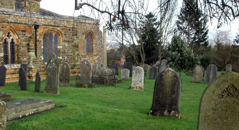
| Memorials | : | 7 |
| Location | : | Spratton, Daventry District, England |
| Coordinate | : | 52.3243520, -0.9483460 |
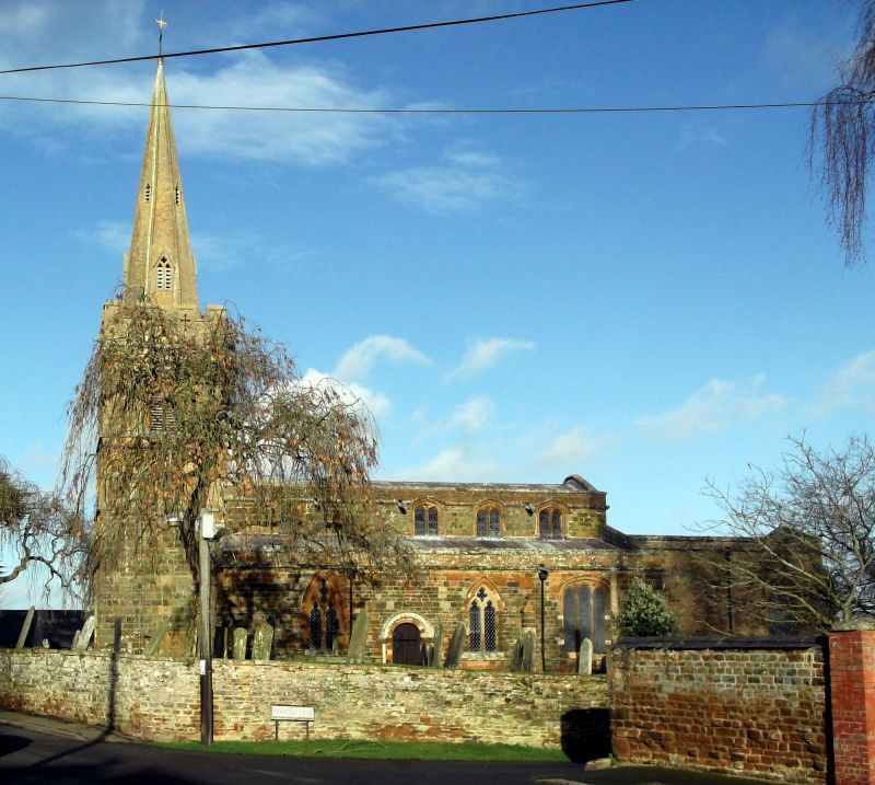
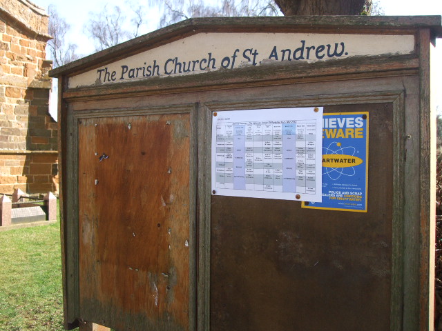
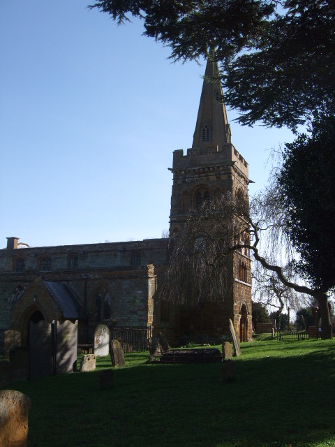
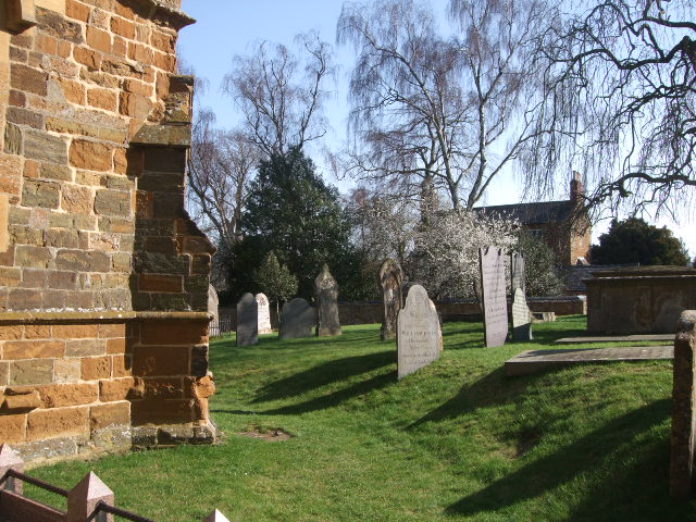
| Description | : | The parish church of Spratton is dedicated to St Andrew and stands on Brixworth Road. The ecclesiastical parish is part of the diocese of Peterborough. The church, built from ironstone, stands on high ground in the centre of the village and has a tower with a spire. The chancel is 29 feet long by 15 feet wide. The earliest church built on the site dated from 1120, but it has been altered and remodelled considerably over the centuries. The interior of the church was restored in 1847 by Sir George Gilbert Scott, and the north porch rebuilt. The spire was... Read More |
frequently asked questions (FAQ):
-
Where is St Andrew Churchyard?
St Andrew Churchyard is located at Spratton, Daventry District ,Northamptonshire ,England.
-
St Andrew Churchyard cemetery's updated grave count on graveviews.com?
7 memorials
-
Where are the coordinates of the St Andrew Churchyard?
Latitude: 52.3243520
Longitude: -0.9483460
Nearby Cemetories:
1. St James Churchyard
Hollowell, Daventry District, England
Coordinate: 52.3404638, -0.9912752
2. All Saints Churchyard
Cottesbrooke, Daventry District, England
Coordinate: 52.3552260, -0.9588300
3. All Saints Churchyard
Holdenby, Daventry District, England
Coordinate: 52.3021000, -0.9868100
4. All Saints Churchyard
Pitsford, Daventry District, England
Coordinate: 52.3066700, -0.8952200
5. St Botolph Churchyard
Church Brampton, Daventry District, England
Coordinate: 52.2849866, -0.9486724
6. St Denys' Church
Northampton Borough, England
Coordinate: 52.3271318, -1.0182438
7. St Etheldreda Churchyard
Guilsborough, Daventry District, England
Coordinate: 52.3480310, -1.0089780
8. Spencer Estate Grounds
Althorp, Daventry District, England
Coordinate: 52.2839190, -0.9889520
9. East Haddon Churchyard
East Haddon, Daventry District, England
Coordinate: 52.3076000, -1.0224800
10. St John the Baptist Churchyard
Boughton, Daventry District, England
Coordinate: 52.2861187, -0.8971496
11. St Peter and St Paul Churchyard
Scaldwell, Daventry District, England
Coordinate: 52.3459100, -0.8732100
12. All Saints Churchyard
Lamport, Daventry District, England
Coordinate: 52.3637900, -0.8883600
13. Old St John the Baptist Churchyard
Boughton, Daventry District, England
Coordinate: 52.2836464, -0.8801961
14. Kingsthorpe Cemetery
Kingsthorpe, Northampton Borough, England
Coordinate: 52.2740400, -0.9001200
15. St Mary the Virgin with St John Churchyard
Great Brington, Daventry District, England
Coordinate: 52.2810470, -1.0235660
16. Saint Michael's Churchyard
Haselbech, Daventry District, England
Coordinate: 52.3891890, -0.9556720
17. Independent Chapel Burial Yard
Old, Daventry District, England
Coordinate: 52.3514947, -0.8506201
18. Saint Andrew Churchyard
Old, Daventry District, England
Coordinate: 52.3503600, -0.8484200
19. St. Mary & All Saints Churchyard
Holcot, Daventry District, England
Coordinate: 52.3208630, -0.8390120
20. Saint Mary the Virgin
Maidwell, Daventry District, England
Coordinate: 52.3854950, -0.9007770
21. Saint Catherine
Draughton, Daventry District, England
Coordinate: 52.3840770, -0.8821840
22. Walgrave Cemetery
Walgrave, Daventry District, England
Coordinate: 52.3385720, -0.8314720
23. Dallington Cemetery
Northampton, Northampton Borough, England
Coordinate: 52.2505200, -0.9287200
24. All Saints Churchyard
Naseby, Daventry District, England
Coordinate: 52.3968790, -0.9889740