
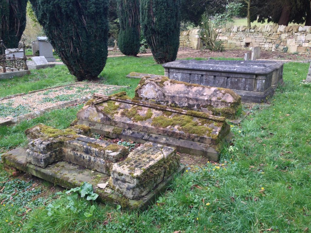
| Memorials | : | 0 |
| Location | : | Holdenby, Daventry District, England |
| Coordinate | : | 52.3021000, -0.9868100 |
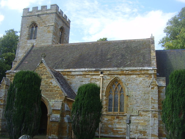
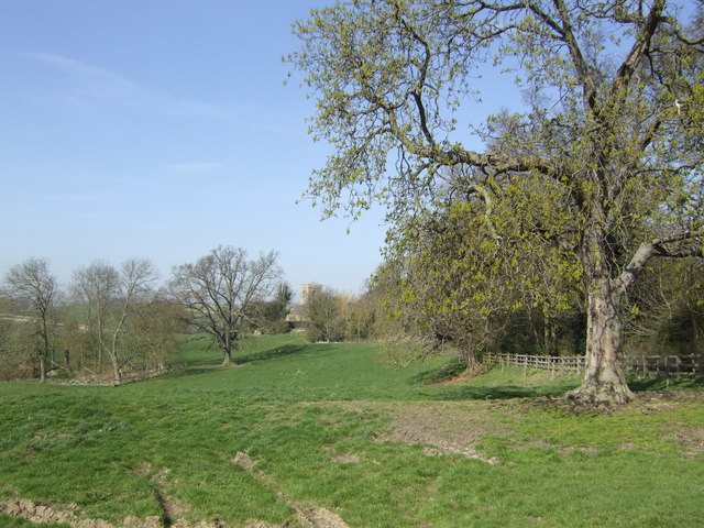
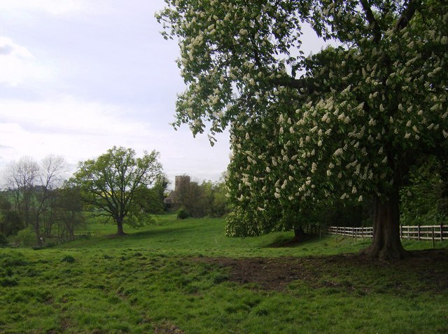
| Description | : | 6 miles north west of Northampton, between A428 and A5199 in hamlet of Holdenby; church access through stables off Holdenby Road. added by Wertypop |
frequently asked questions (FAQ):
-
Where is All Saints Churchyard?
All Saints Churchyard is located at Holdenby Road Holdenby, Daventry District ,Northamptonshire , NN6 8DJEngland.
-
All Saints Churchyard cemetery's updated grave count on graveviews.com?
0 memorials
-
Where are the coordinates of the All Saints Churchyard?
Latitude: 52.3021000
Longitude: -0.9868100
Nearby Cemetories:
1. Spencer Estate Grounds
Althorp, Daventry District, England
Coordinate: 52.2839190, -0.9889520
2. East Haddon Churchyard
East Haddon, Daventry District, England
Coordinate: 52.3076000, -1.0224800
3. St Botolph Churchyard
Church Brampton, Daventry District, England
Coordinate: 52.2849866, -0.9486724
4. St Mary the Virgin with St John Churchyard
Great Brington, Daventry District, England
Coordinate: 52.2810470, -1.0235660
5. St Denys' Church
Northampton Borough, England
Coordinate: 52.3271318, -1.0182438
6. St Andrew Churchyard
Spratton, Daventry District, England
Coordinate: 52.3243520, -0.9483460
7. St James Churchyard
Hollowell, Daventry District, England
Coordinate: 52.3404638, -0.9912752
8. St Etheldreda Churchyard
Guilsborough, Daventry District, England
Coordinate: 52.3480310, -1.0089780
9. St. Andrew Churchyard
Whilton, Daventry District, England
Coordinate: 52.2776040, -1.0683450
10. All Saints Churchyard
Cottesbrooke, Daventry District, England
Coordinate: 52.3552260, -0.9588300
11. All Saints Churchyard
Pitsford, Daventry District, England
Coordinate: 52.3066700, -0.8952200
12. United Reformed Churchyard
Long Buckby, Daventry District, England
Coordinate: 52.3016430, -1.0793930
13. St John the Baptist Churchyard
Boughton, Daventry District, England
Coordinate: 52.2861187, -0.8971496
14. Long Buckby & Brington Baptist Church
Long Buckby, Daventry District, England
Coordinate: 52.3022756, -1.0804149
15. St. Lawrence Churchyard
Long Buckby, Daventry District, England
Coordinate: 52.3042680, -1.0815040
16. All Saints Churchyard
Harpole, South Northamptonshire Borough, England
Coordinate: 52.2427100, -0.9899750
17. Kingsthorpe Cemetery
Kingsthorpe, Northampton Borough, England
Coordinate: 52.2740400, -0.9001200
18. Dallington Cemetery
Northampton, Northampton Borough, England
Coordinate: 52.2505200, -0.9287200
19. Saint Luke Churchyard
Duston, Northampton Borough, England
Coordinate: 52.2428820, -0.9396550
20. All Saints Churchyard
West Haddon, Daventry District, England
Coordinate: 52.3409590, -1.0764700
21. Old St John the Baptist Churchyard
Boughton, Daventry District, England
Coordinate: 52.2836464, -0.8801961
22. St Michael's Churchyard
Upton, Northampton Borough, England
Coordinate: 52.2356600, -0.9508160
23. St. Luke Churchyard
Kislingbury, South Northamptonshire Borough, England
Coordinate: 52.2307300, -0.9806300
24. Watford Village Cemetery
Watford, Daventry District, England
Coordinate: 52.3168542, -1.1102416