
| Memorials | : | 0 |
| Location | : | Bradenham, Wycombe District, England |
| Coordinate | : | 51.6668380, -0.8041850 |
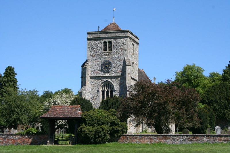
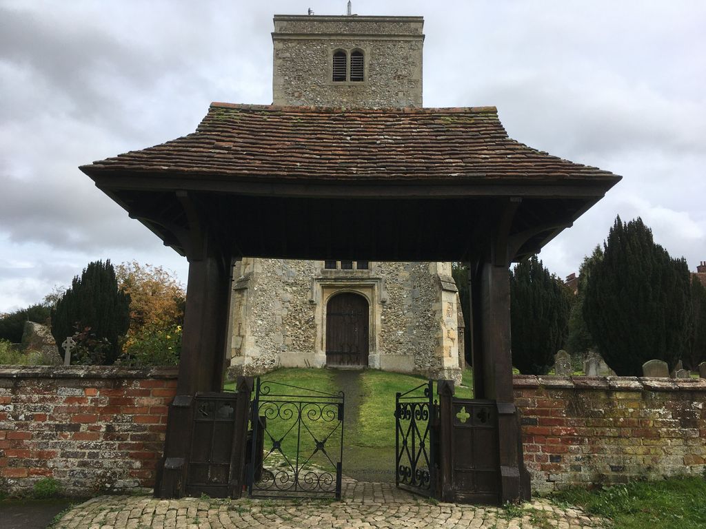
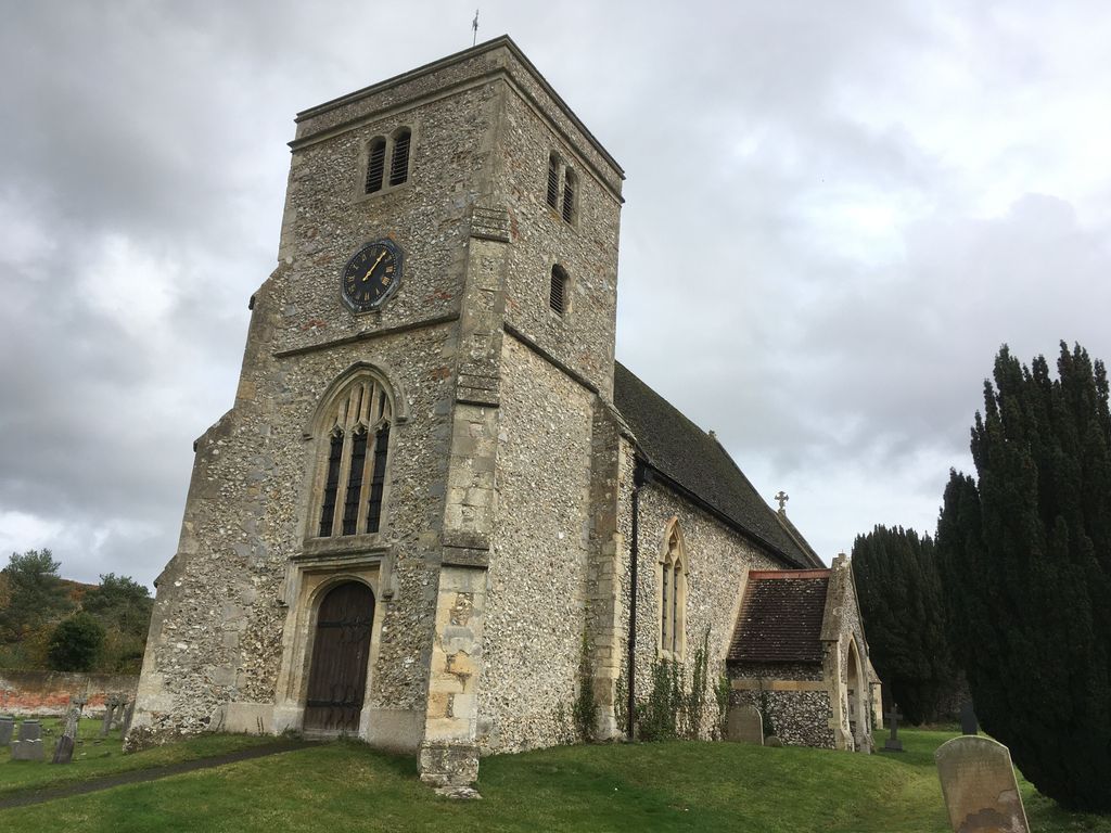
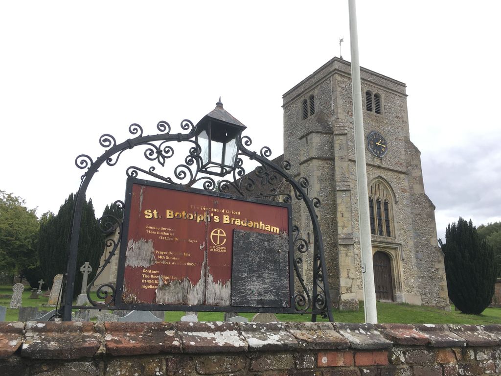
| Description | : | Saxon settlers made their home in this corner of the Saunderton valley, building a Church on the current site. The name probably derives from "Brada's homestead" or "broad valley home". By the time of the great Domesday survey the Village was well established, Lewin of Newenham being the landowner. Lewin's tenants, Suarting and Herding, it is recorded, "...hold Bradenham of the king, and are taxed for two hides of land. There is land for two ploughs, and there are two, with two villeins. It was always valued at twenty shillings..." |
frequently asked questions (FAQ):
-
Where is St. Botolph Churchyard?
St. Botolph Churchyard is located at The Green, Bradenham Woods Lane Bradenham, Wycombe District ,Buckinghamshire , HP14 4HFEngland.
-
St. Botolph Churchyard cemetery's updated grave count on graveviews.com?
0 memorials
-
Where are the coordinates of the St. Botolph Churchyard?
Latitude: 51.6668380
Longitude: -0.8041850
Nearby Cemetories:
1. St. Lawrence Churchyard
West Wycombe, Wycombe District, England
Coordinate: 51.6479900, -0.8060200
2. Dashwood Mausoleum
West Wycombe, Wycombe District, England
Coordinate: 51.6471210, -0.8047420
3. St John the Evangelist Churchyard
Lacey Green, Wycombe District, England
Coordinate: 51.6916100, -0.8081580
4. Speen Baptist Churchyard
Wycombe District, England
Coordinate: 51.6903980, -0.7796780
5. St Paul's Churchyard
Bledlow Ridge, Wycombe District, England
Coordinate: 51.6726230, -0.8484280
6. Lacey Green Methodist Cemetery
Lacey Green, Wycombe District, England
Coordinate: 51.6962930, -0.8138030
7. Loosley Row Cemetery
Losley Row, Wycombe District, England
Coordinate: 51.6974200, -0.8190600
8. St. Michael and All Angels Churchyard
Hughenden, Wycombe District, England
Coordinate: 51.6518960, -0.7522470
9. St Mary Churchyard
Radnage, Wycombe District, England
Coordinate: 51.6747990, -0.8647210
10. Four Ashes Garden of Rest
Hughenden, Wycombe District, England
Coordinate: 51.6614724, -0.7389121
11. Cryers Hill Methodist Cemetery
Cryers Hill, Wycombe District, England
Coordinate: 51.6646790, -0.7349370
12. Holy Trinity Churchyard
Prestwood, Chiltern District, England
Coordinate: 51.6888000, -0.7367300
13. High Wycombe Cemetery
High Wycombe, Wycombe District, England
Coordinate: 51.6383160, -0.7432510
14. All Saints Churchyard
High Wycombe, Wycombe District, England
Coordinate: 51.6298810, -0.7507090
15. St Mary Magdalene Churchyard
Great Hampden, Wycombe District, England
Coordinate: 51.7136220, -0.7732700
16. Ss. Mary and Nicholas Churchyard
Saunderton, Wycombe District, England
Coordinate: 51.7101051, -0.8499552
17. Holy Trinity Churchyard
Lane End, Wycombe District, England
Coordinate: 51.6176000, -0.8368900
18. Holy Trinity Churchyard Extension
Lane End, Wycombe District, England
Coordinate: 51.6172700, -0.8382920
19. High Wycombe Friends Burial Ground
High Wycombe, Wycombe District, England
Coordinate: 51.6282800, -0.7428870
20. St. Mary-le-Moor Churchyard
Cadmore End, Wycombe District, England
Coordinate: 51.6263500, -0.8686600
21. Holy Trinity Churchyard
Hazlemere, Wycombe District, England
Coordinate: 51.6492680, -0.7168260
22. Baptist Church Cemetery
Princes Risborough, Wycombe District, England
Coordinate: 51.7220500, -0.8296700
23. Stokenchurch Church Cemetery
Stokenchurch, Wycombe District, England
Coordinate: 51.6572200, -0.8960300
24. St Mary Churchyard
Princes Risborough, Wycombe District, England
Coordinate: 51.7242980, -0.8340970