
| Memorials | : | 0 |
| Location | : | West Wycombe, Wycombe District, England |
| Coordinate | : | 51.6479900, -0.8060200 |
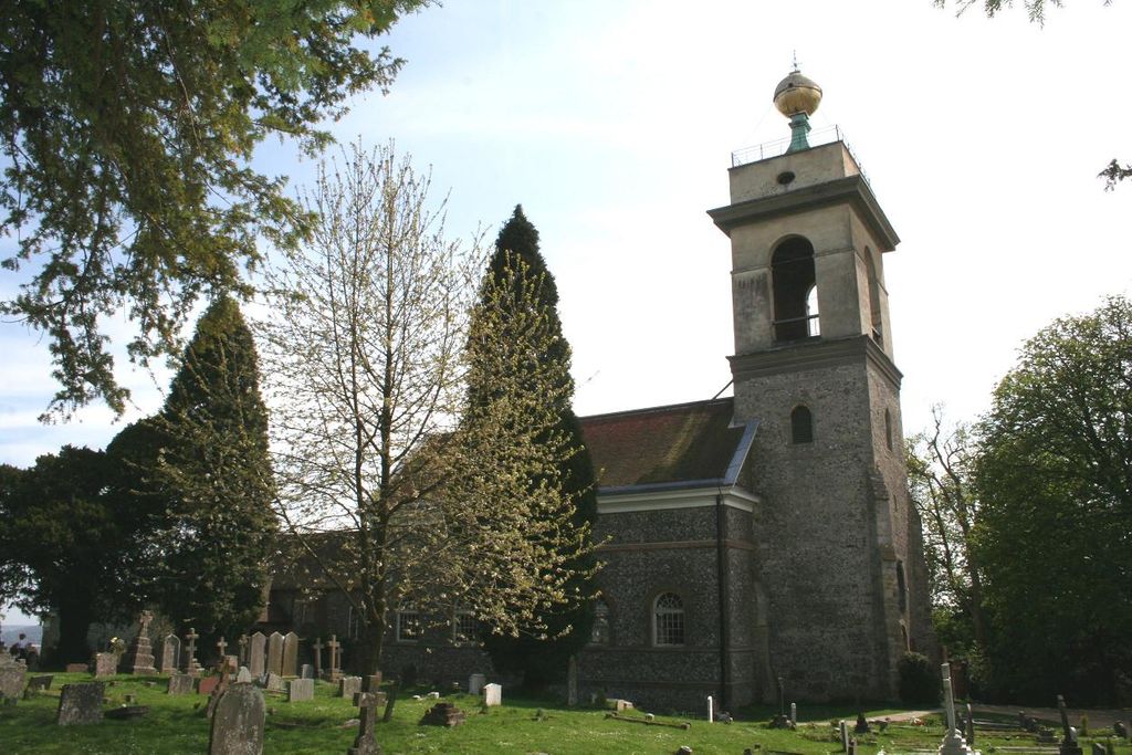
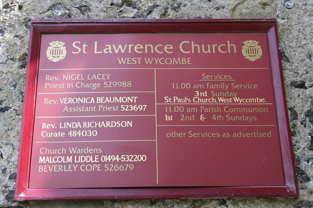
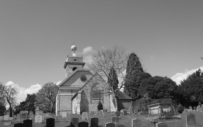
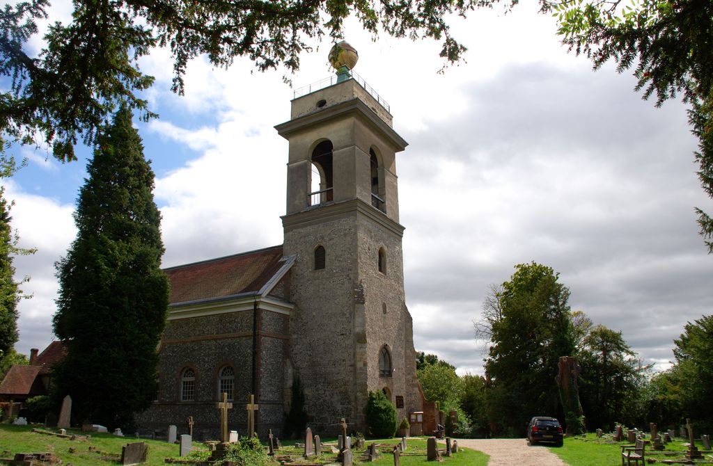
| Description | : | An unmistakable church perched high on West Wycombe Hill with the famous 'Golden Ball' at the top of the tower. |
frequently asked questions (FAQ):
-
Where is St. Lawrence Churchyard?
St. Lawrence Churchyard is located at Church Lane, West Wycombe Hill West Wycombe, Wycombe District ,Buckinghamshire , HP14 3APEngland.
-
St. Lawrence Churchyard cemetery's updated grave count on graveviews.com?
0 memorials
-
Where are the coordinates of the St. Lawrence Churchyard?
Latitude: 51.6479900
Longitude: -0.8060200
Nearby Cemetories:
1. Dashwood Mausoleum
West Wycombe, Wycombe District, England
Coordinate: 51.6471210, -0.8047420
2. St. Botolph Churchyard
Bradenham, Wycombe District, England
Coordinate: 51.6668380, -0.8041850
3. St. Michael and All Angels Churchyard
Hughenden, Wycombe District, England
Coordinate: 51.6518960, -0.7522470
4. Holy Trinity Churchyard
Lane End, Wycombe District, England
Coordinate: 51.6176000, -0.8368900
5. St Paul's Churchyard
Bledlow Ridge, Wycombe District, England
Coordinate: 51.6726230, -0.8484280
6. Holy Trinity Churchyard Extension
Lane End, Wycombe District, England
Coordinate: 51.6172700, -0.8382920
7. All Saints Churchyard
High Wycombe, Wycombe District, England
Coordinate: 51.6298810, -0.7507090
8. High Wycombe Cemetery
High Wycombe, Wycombe District, England
Coordinate: 51.6383160, -0.7432510
9. St John the Evangelist Churchyard
Lacey Green, Wycombe District, England
Coordinate: 51.6916100, -0.8081580
10. Four Ashes Garden of Rest
Hughenden, Wycombe District, England
Coordinate: 51.6614724, -0.7389121
11. High Wycombe Friends Burial Ground
High Wycombe, Wycombe District, England
Coordinate: 51.6282800, -0.7428870
12. St. Mary-le-Moor Churchyard
Cadmore End, Wycombe District, England
Coordinate: 51.6263500, -0.8686600
13. St Mary Churchyard
Radnage, Wycombe District, England
Coordinate: 51.6747990, -0.8647210
14. Speen Baptist Churchyard
Wycombe District, England
Coordinate: 51.6903980, -0.7796780
15. Cryers Hill Methodist Cemetery
Cryers Hill, Wycombe District, England
Coordinate: 51.6646790, -0.7349370
16. Lacey Green Methodist Cemetery
Lacey Green, Wycombe District, England
Coordinate: 51.6962930, -0.8138030
17. Loosley Row Cemetery
Losley Row, Wycombe District, England
Coordinate: 51.6974200, -0.8190600
18. St. John the Evangelist Churchyard
Hambleden, Wycombe District, England
Coordinate: 51.6052700, -0.8514000
19. Holy Trinity Churchyard
Hazlemere, Wycombe District, England
Coordinate: 51.6492680, -0.7168260
20. Stokenchurch Church Cemetery
Stokenchurch, Wycombe District, England
Coordinate: 51.6572200, -0.8960300
21. St. Bartholomew Churchyard
Fingest, Wycombe District, England
Coordinate: 51.6137200, -0.8791500
22. Holy Trinity Churchyard
Prestwood, Chiltern District, England
Coordinate: 51.6888000, -0.7367300
23. St Peter and St Paul Churchyard
Stokenchurch, Wycombe District, England
Coordinate: 51.6615290, -0.9022940
24. St Mary's Churchyard
Turville, Wycombe District, England
Coordinate: 51.6139860, -0.8938190