
| Memorials | : | 0 |
| Location | : | Crook, South Lakeland District, England |
| Coordinate | : | 54.3480260, -2.8462220 |
frequently asked questions (FAQ):
-
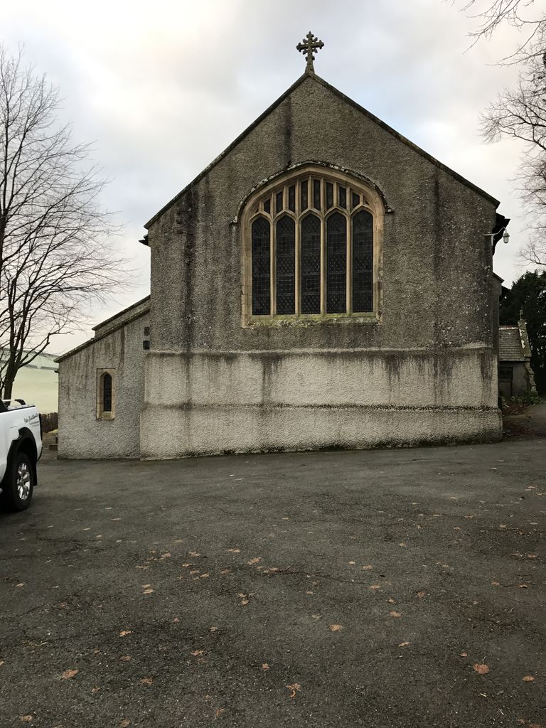
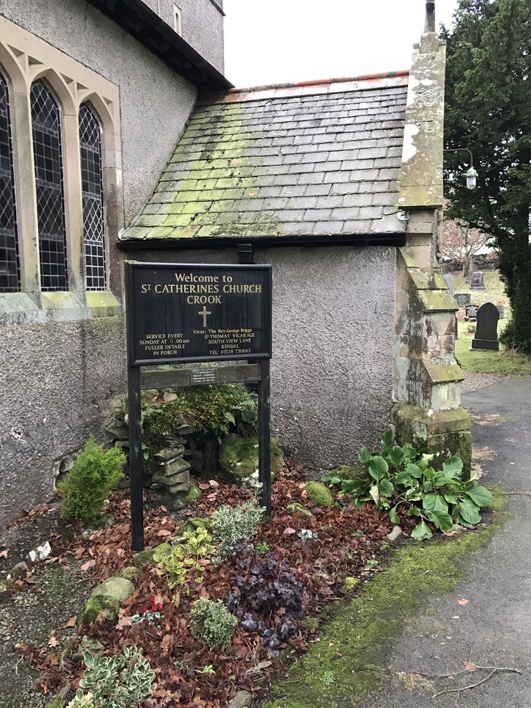
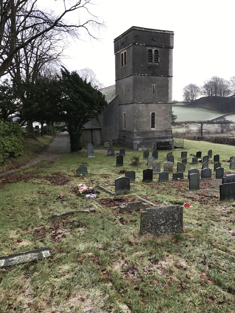
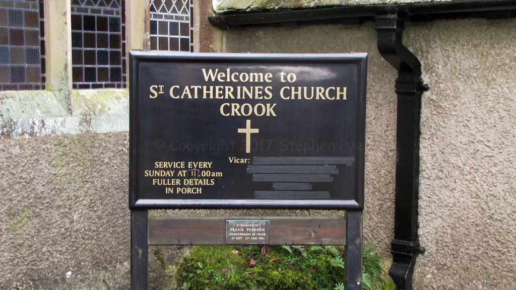
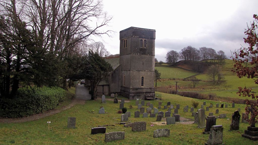
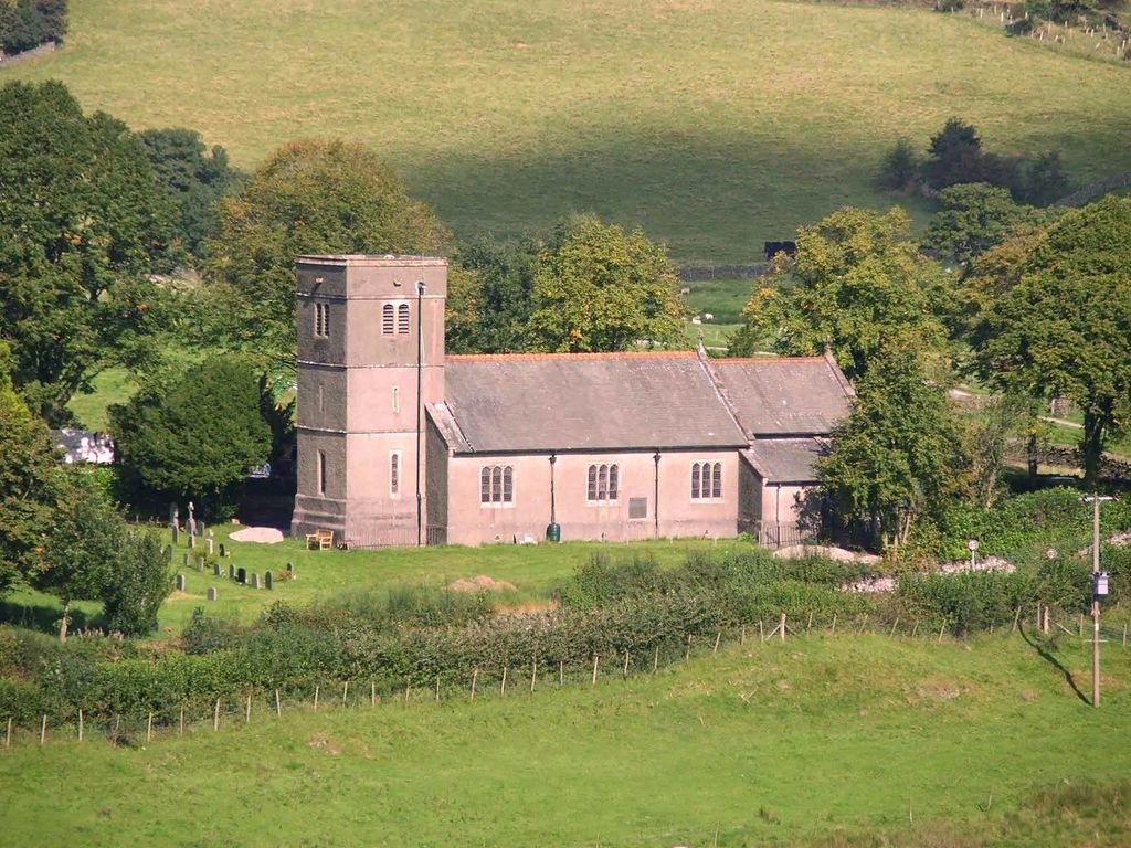
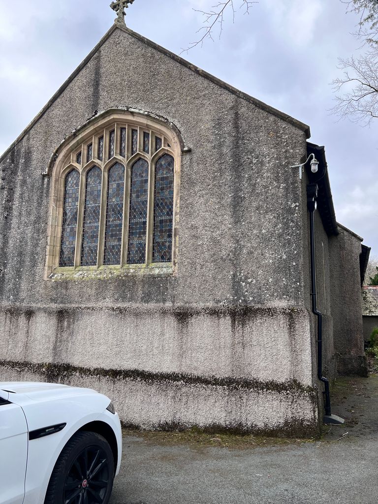
Where is St. Catherine's Churchyard?
St. Catherine's Churchyard is located at Crook, South Lakeland District ,Cumbria ,England.
-
St. Catherine's Churchyard cemetery's updated grave count on graveviews.com?
0 memorials
-
Where are the coordinates of the St. Catherine's Churchyard?
Latitude: 54.3480260
Longitude: -2.8462220
Nearby Cemetories:
1. Crook Chapel of Saint Catherine
Crook, South Lakeland District, England
Coordinate: 54.3445250, -2.8477290
2. All Saints Churchyard
Underbarrow, South Lakeland District, England
Coordinate: 54.3262900, -2.8268240
3. St. Anne's Churchyard
Ings, South Lakeland District, England
Coordinate: 54.3802940, -2.8541350
4. Holy Trinity Churchyard
Winster, South Lakeland District, England
Coordinate: 54.3298460, -2.8974880
5. St. Mary's Churchyard
Crosthwaite, South Lakeland District, England
Coordinate: 54.3129300, -2.8526100
6. Crosthwaite Cemetery
Crosthwaite, South Lakeland District, England
Coordinate: 54.3126000, -2.8546900
7. St James Churchyard
Staveley, South Lakeland District, England
Coordinate: 54.3801350, -2.8183670
8. Mislet & Broadgate Quaker Burial Ground
Windermere, South Lakeland District, England
Coordinate: 54.3892040, -2.8756960
9. Saint Martin's Churchyard
Bowness-on-Windermere, South Lakeland District, England
Coordinate: 54.3639680, -2.9208950
10. Bowness-on-Windermere Cemetery
Bowness-on-Windermere, South Lakeland District, England
Coordinate: 54.3584760, -2.9238880
11. St Oswald Churchyard
Burneside, South Lakeland District, England
Coordinate: 54.3546500, -2.7634950
12. Saint Mary's Churchyard
Windermere, South Lakeland District, England
Coordinate: 54.3810140, -2.9099750
13. Windermere Cemetery
Windermere, South Lakeland District, England
Coordinate: 54.3823360, -2.9173970
14. Stricklandgate Methodist
Kendal, South Lakeland District, England
Coordinate: 54.3321160, -2.7493720
15. St. Thomas Churchyard
Kendal, South Lakeland District, England
Coordinate: 54.3316130, -2.7489140
16. The Sepulchre Quaker Burial Ground
Kendal, South Lakeland District, England
Coordinate: 54.3270022, -2.7502978
17. Kendal Unitarian Chapel Burial Ground
Kendal, South Lakeland District, England
Coordinate: 54.3287120, -2.7450940
18. Kendal Quaker Meeting House
Kendal, South Lakeland District, England
Coordinate: 54.3287200, -2.7431900
19. Holy Trinity Church
Kendal, South Lakeland District, England
Coordinate: 54.3223970, -2.7448770
20. Helsington Churchyard
Helsington, South Lakeland District, England
Coordinate: 54.2934390, -2.7871630
21. St. Peter's Churchyard
Far Sawrey, South Lakeland District, England
Coordinate: 54.3480230, -2.9582610
22. Castle Street Cemetery
Kendal, South Lakeland District, England
Coordinate: 54.3301600, -2.7365160
23. Parkside Cemetery
Kendal, South Lakeland District, England
Coordinate: 54.3210870, -2.7362680
24. St Anthony's Churchyard
Cartmel Fell, South Lakeland District, England
Coordinate: 54.2848000, -2.8977080