
| Memorials | : | 1 |
| Location | : | Kendal, South Lakeland District, England |
| Coordinate | : | 54.3210870, -2.7362680 |
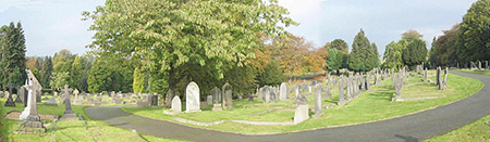
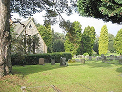
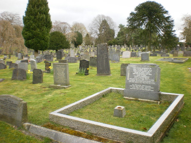
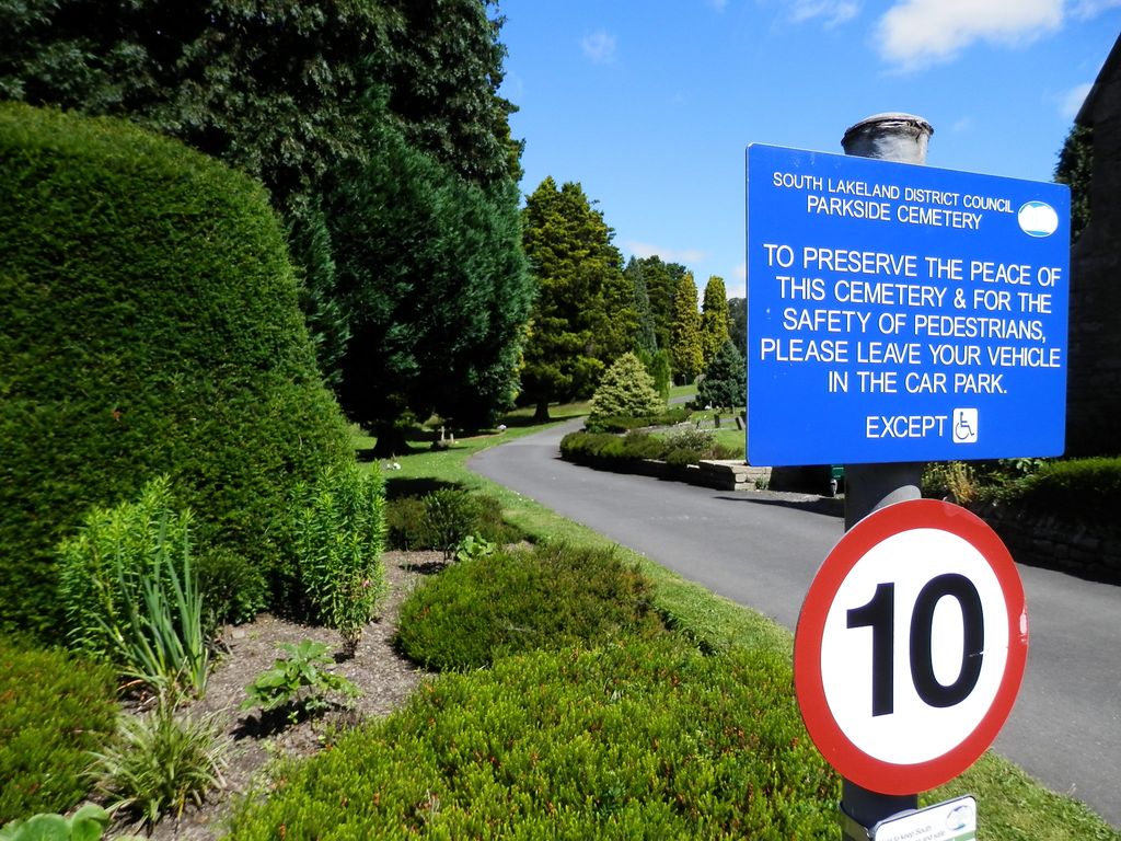
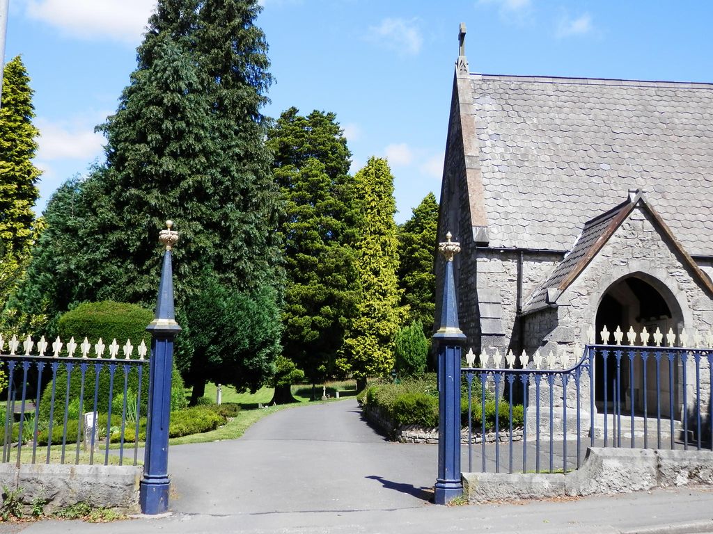
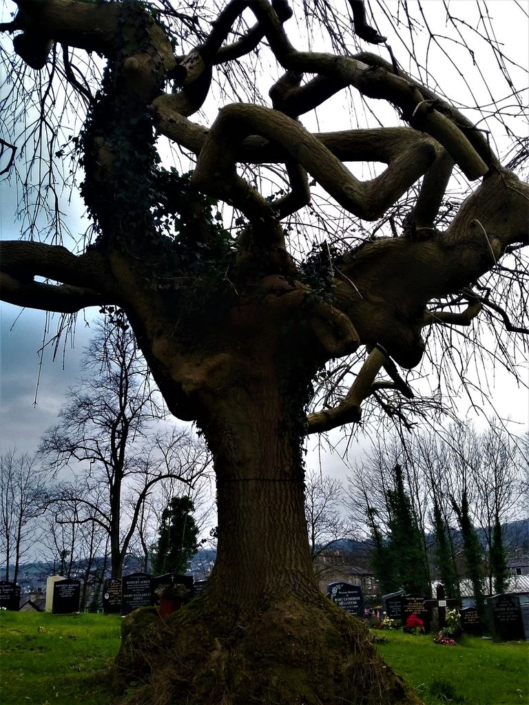
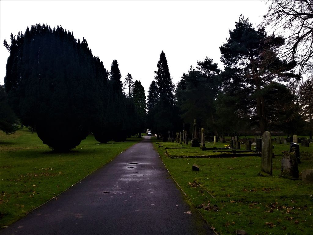
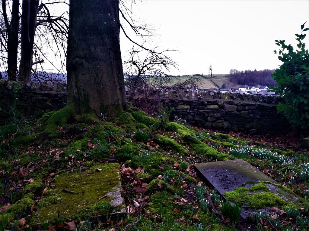
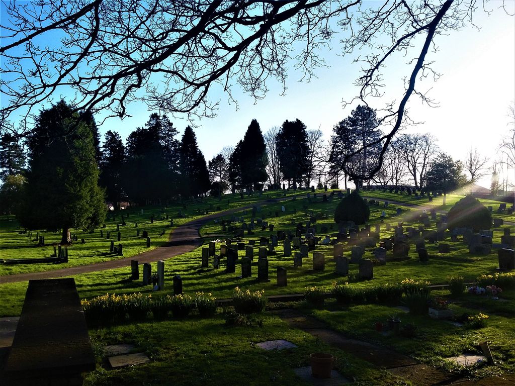
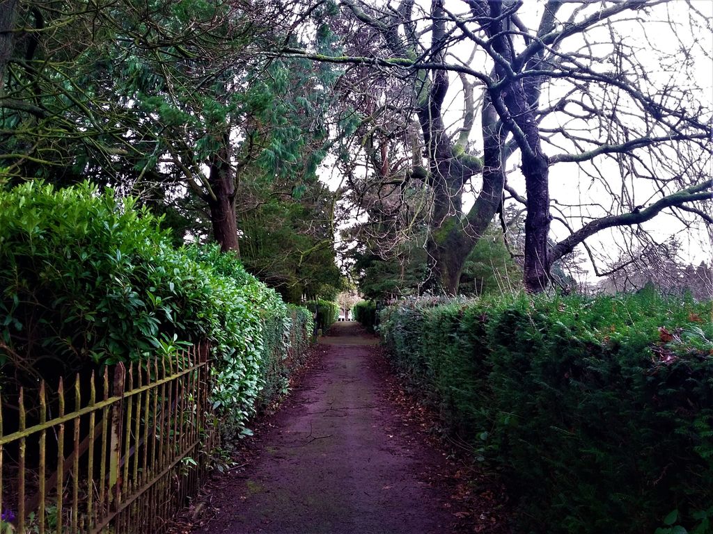
| Description | : | The Parkside Cemetery, at the southern end of the town, in the lea of Kendal Castle, saw its first burial on 14 Sep 1855. It extends to both sides of Parkside Road and contains sections designated as Church of England, non-denominational, and Roman Catholic. There is a section for the interment of cremated ashes. There is car parking at the cemetery entrances, and a public W.C. is situated near the main entrance, behind the former cemetery lodge. (These former lodges are now private dwellings, and it would be appreciated if the residents are not disturbed, except in an emergency). Water taps are available... Read More |
frequently asked questions (FAQ):
-
Where is Parkside Cemetery?
Parkside Cemetery is located at Parkside Road Kendal, South Lakeland District ,Cumbria , LA9 4UDEngland.
-
Parkside Cemetery cemetery's updated grave count on graveviews.com?
1 memorials
-
Where are the coordinates of the Parkside Cemetery?
Latitude: 54.3210870
Longitude: -2.7362680
Nearby Cemetories:
1. Holy Trinity Church
Kendal, South Lakeland District, England
Coordinate: 54.3223970, -2.7448770
2. Quaker Burial Ground
Kendal, South Lakeland District, England
Coordinate: 54.3278200, -2.7285500
3. Kendal Quaker Meeting House
Kendal, South Lakeland District, England
Coordinate: 54.3287200, -2.7431900
4. Castle Street Cemetery
Kendal, South Lakeland District, England
Coordinate: 54.3301600, -2.7365160
5. Kendal Unitarian Chapel Burial Ground
Kendal, South Lakeland District, England
Coordinate: 54.3287120, -2.7450940
6. The Sepulchre Quaker Burial Ground
Kendal, South Lakeland District, England
Coordinate: 54.3270022, -2.7502978
7. St. Thomas Churchyard
Kendal, South Lakeland District, England
Coordinate: 54.3316130, -2.7489140
8. Stricklandgate Methodist
Kendal, South Lakeland District, England
Coordinate: 54.3321160, -2.7493720
9. St Mark's Churchyard
Natland, South Lakeland District, England
Coordinate: 54.2961380, -2.7374200
10. St. John The Baptist Cemetery Extension
Skelsmergh, South Lakeland District, England
Coordinate: 54.3519250, -2.7249650
11. St. John the Baptist Cemetery
Skelsmergh, South Lakeland District, England
Coordinate: 54.3521700, -2.7253800
12. St. Stephen's Churchyard
New Hutton, South Lakeland District, England
Coordinate: 54.3156560, -2.6747130
13. St Oswald Churchyard
Burneside, South Lakeland District, England
Coordinate: 54.3546500, -2.7634950
14. Helsington Churchyard
Helsington, South Lakeland District, England
Coordinate: 54.2934390, -2.7871630
15. St. Thomas' Churchyard
Crosscrake, South Lakeland District, England
Coordinate: 54.2763700, -2.7335300
16. All Saints Churchyard
Underbarrow, South Lakeland District, England
Coordinate: 54.3262900, -2.8268240
17. St John the Evangelist Churchyard
Levens, South Lakeland District, England
Coordinate: 54.2647380, -2.7920660
18. St. Thomas' Churchyard
Selside, South Lakeland District, England
Coordinate: 54.3861600, -2.7169400
19. St. Mary's Churchyard
Crosthwaite, South Lakeland District, England
Coordinate: 54.3129300, -2.8526100
20. Quaker Burial Ground - Grayrigg
Grayrigg, South Lakeland District, England
Coordinate: 54.3664563, -2.6483654
21. St John the Evangelist Churchyard
Grayrigg, South Lakeland District, England
Coordinate: 54.3681500, -2.6501200
22. Crook Chapel of Saint Catherine
Crook, South Lakeland District, England
Coordinate: 54.3445250, -2.8477290
23. St. Catherine's Churchyard
Crook, South Lakeland District, England
Coordinate: 54.3480260, -2.8462220
24. Crosthwaite Cemetery
Crosthwaite, South Lakeland District, England
Coordinate: 54.3126000, -2.8546900