
| Memorials | : | 0 |
| Location | : | Kendal, South Lakeland District, England |
| Coordinate | : | 54.3321160, -2.7493720 |
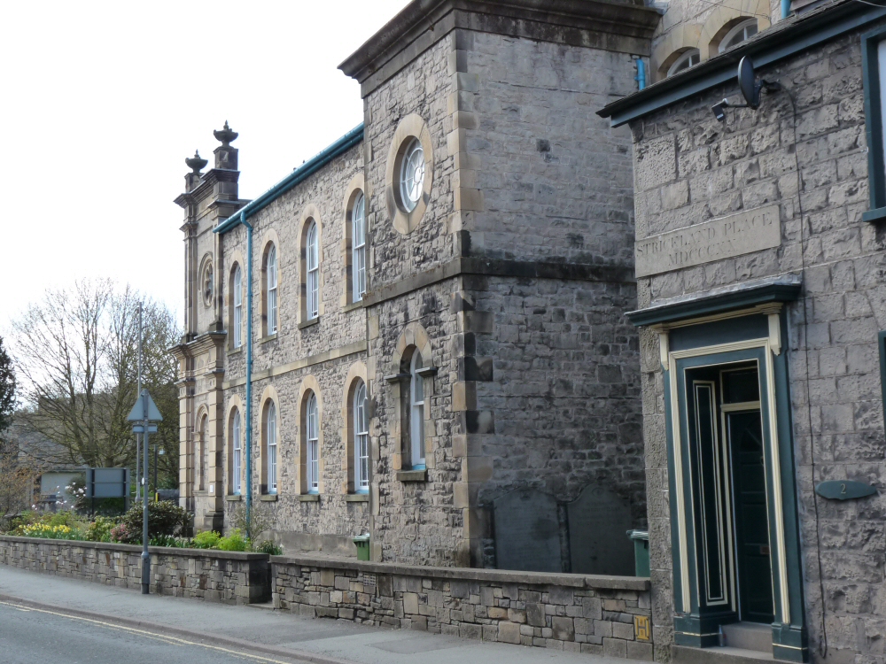
| Description | : | Petition was made by William Midgley, Christopher Gardner, Joseph Robinson, Edward Burton, John Dawson, William Stephenson and John Stubbs to Bishop of Chester for registration of burial ground and chapel called the Methodist Chapel in Kendal as place for worship, 27 June 1808; registered in Chester Registry on 25 July 1808. The Yard was closed to burials in 1854, due to its being full. The cemetery disappeared during a road widening (c. 1960s). Some of the stones were moved to Parkside Cemetery (Kendal), but it does not appear that any of the burials were removed. There are only two remaining... Read More |
frequently asked questions (FAQ):
-
Where is Stricklandgate Methodist?
Stricklandgate Methodist is located at Stricklandgate Kendal, South Lakeland District ,Cumbria , LA9 4RFEngland.
-
Stricklandgate Methodist cemetery's updated grave count on graveviews.com?
0 memorials
-
Where are the coordinates of the Stricklandgate Methodist?
Latitude: 54.3321160
Longitude: -2.7493720
Nearby Cemetories:
1. St. Thomas Churchyard
Kendal, South Lakeland District, England
Coordinate: 54.3316130, -2.7489140
2. Kendal Unitarian Chapel Burial Ground
Kendal, South Lakeland District, England
Coordinate: 54.3287120, -2.7450940
3. Kendal Quaker Meeting House
Kendal, South Lakeland District, England
Coordinate: 54.3287200, -2.7431900
4. The Sepulchre Quaker Burial Ground
Kendal, South Lakeland District, England
Coordinate: 54.3270022, -2.7502978
5. Castle Street Cemetery
Kendal, South Lakeland District, England
Coordinate: 54.3301600, -2.7365160
6. Holy Trinity Church
Kendal, South Lakeland District, England
Coordinate: 54.3223970, -2.7448770
7. Quaker Burial Ground
Kendal, South Lakeland District, England
Coordinate: 54.3278200, -2.7285500
8. Parkside Cemetery
Kendal, South Lakeland District, England
Coordinate: 54.3210870, -2.7362680
9. St Oswald Churchyard
Burneside, South Lakeland District, England
Coordinate: 54.3546500, -2.7634950
10. St. John The Baptist Cemetery Extension
Skelsmergh, South Lakeland District, England
Coordinate: 54.3519250, -2.7249650
11. St. John the Baptist Cemetery
Skelsmergh, South Lakeland District, England
Coordinate: 54.3521700, -2.7253800
12. St Mark's Churchyard
Natland, South Lakeland District, England
Coordinate: 54.2961380, -2.7374200
13. Helsington Churchyard
Helsington, South Lakeland District, England
Coordinate: 54.2934390, -2.7871630
14. All Saints Churchyard
Underbarrow, South Lakeland District, England
Coordinate: 54.3262900, -2.8268240
15. St. Stephen's Churchyard
New Hutton, South Lakeland District, England
Coordinate: 54.3156560, -2.6747130
16. St. Thomas' Churchyard
Crosscrake, South Lakeland District, England
Coordinate: 54.2763700, -2.7335300
17. St. Thomas' Churchyard
Selside, South Lakeland District, England
Coordinate: 54.3861600, -2.7169400
18. St. Catherine's Churchyard
Crook, South Lakeland District, England
Coordinate: 54.3480260, -2.8462220
19. Crook Chapel of Saint Catherine
Crook, South Lakeland District, England
Coordinate: 54.3445250, -2.8477290
20. St James Churchyard
Staveley, South Lakeland District, England
Coordinate: 54.3801350, -2.8183670
21. St. Mary's Churchyard
Crosthwaite, South Lakeland District, England
Coordinate: 54.3129300, -2.8526100
22. Crosthwaite Cemetery
Crosthwaite, South Lakeland District, England
Coordinate: 54.3126000, -2.8546900
23. St John the Evangelist Churchyard
Grayrigg, South Lakeland District, England
Coordinate: 54.3681500, -2.6501200
24. Quaker Burial Ground - Grayrigg
Grayrigg, South Lakeland District, England
Coordinate: 54.3664563, -2.6483654