
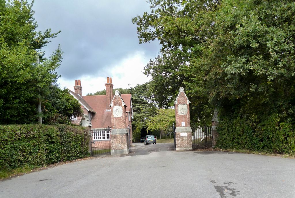
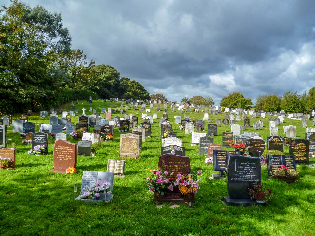
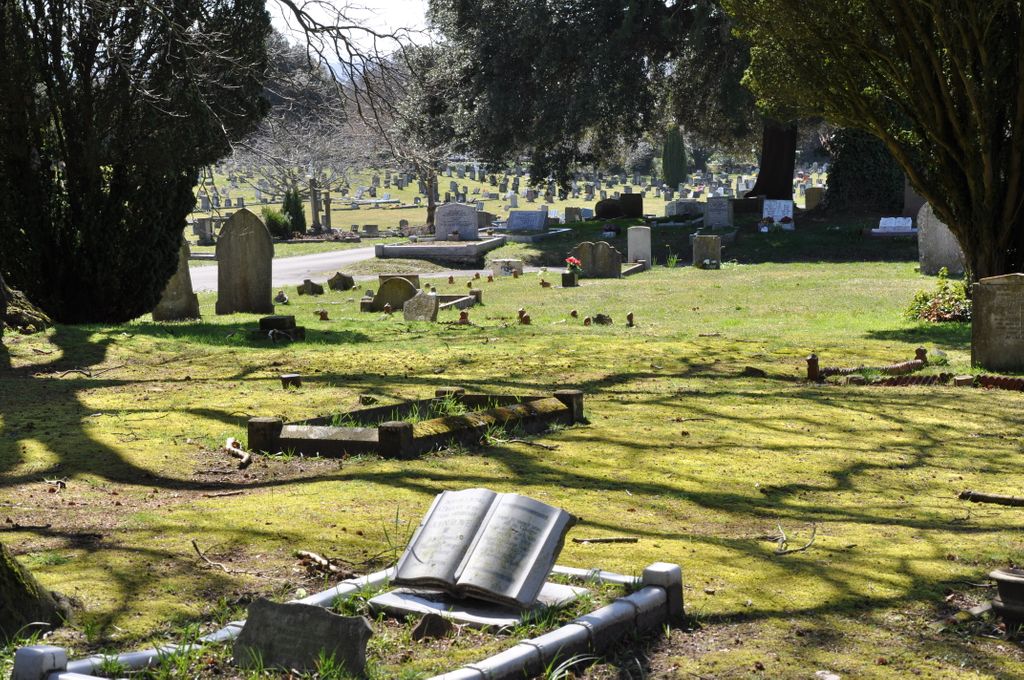
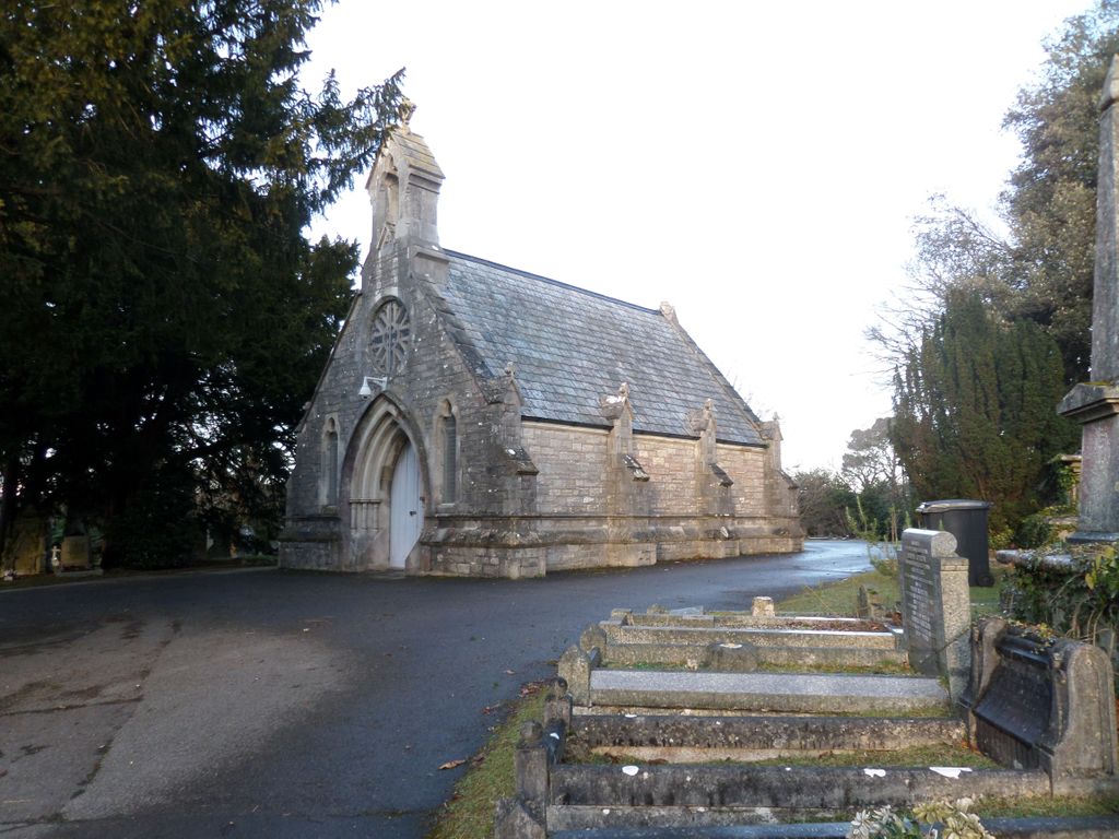
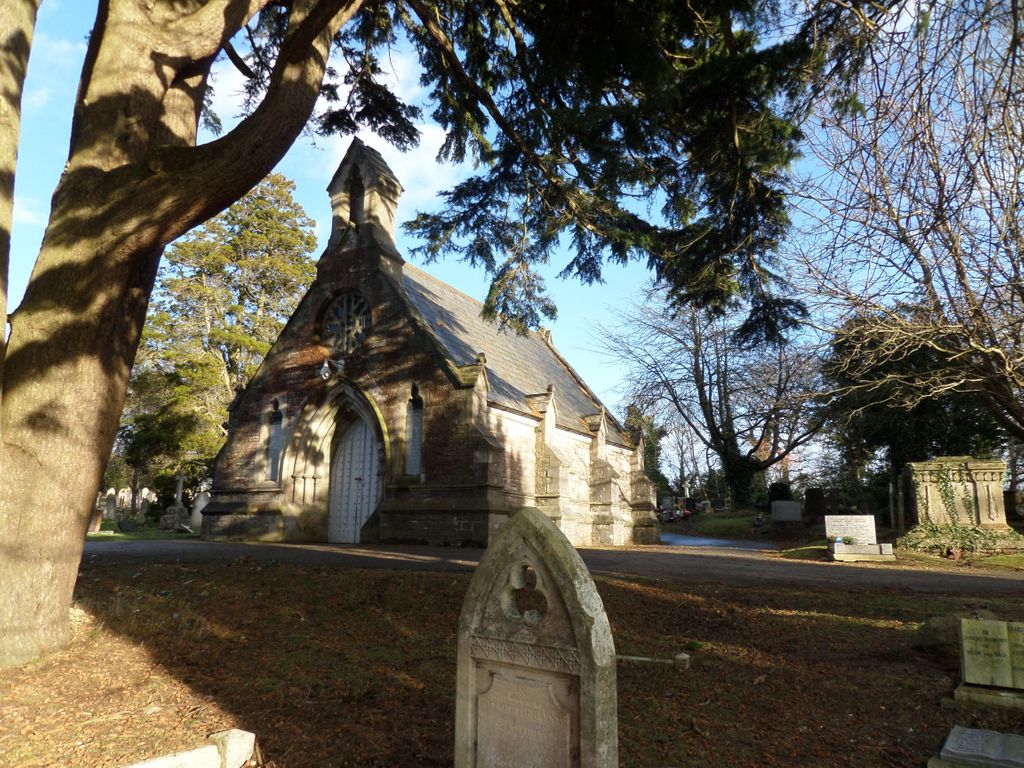
| Memorials | : | 1 |
| Location | : | Poole, Poole Unitary Authority, England |
| Coordinate | : | 50.7345060, -1.9642670 |
frequently asked questions (FAQ):
-
Where is Poole Cemetery?
Poole Cemetery is located at Poole, Poole Unitary Authority ,Dorset ,England.
-
Poole Cemetery cemetery's updated grave count on graveviews.com?
1 memorials
-
Where are the coordinates of the Poole Cemetery?
Latitude: 50.7345060
Longitude: -1.9642670
Nearby Cemetories:
1. St. Clement's Church
Parkstone, Poole Unitary Authority, England
Coordinate: 50.7377830, -1.9534610
2. St. Peter's Church
Parkstone, Poole Unitary Authority, England
Coordinate: 50.7245590, -1.9533390
3. St. Mary's Churchyard
Poole, Poole Unitary Authority, England
Coordinate: 50.7226400, -1.9716790
4. Branksome Cemetery
Parkstone, Poole Unitary Authority, England
Coordinate: 50.7362200, -1.9408200
5. Parkstone Cemetery
Poole, Poole Unitary Authority, England
Coordinate: 50.7147430, -1.9492790
6. Hunger Hill Burial Ground
Poole, Poole Unitary Authority, England
Coordinate: 50.7169428, -1.9852496
7. St James Churchyard
Poole, Poole Unitary Authority, England
Coordinate: 50.7134850, -1.9897060
8. St. Michael's Churchyard
Hamworthy, Poole Unitary Authority, England
Coordinate: 50.7199660, -2.0099190
9. Broadstone Cemetery
Broadstone, Poole Unitary Authority, England
Coordinate: 50.7651160, -1.9829030
10. Poole Crematorium
Broadstone, Poole Unitary Authority, England
Coordinate: 50.7664860, -1.9764920
11. St John the Baptist Churchyard
Broadstone, Poole Unitary Authority, England
Coordinate: 50.7620490, -1.9933870
12. All Saints Churchyard
Poole, Poole Unitary Authority, England
Coordinate: 50.7134060, -1.9165840
13. St. Mark's Churchyard
Bournemouth Unitary Authority, England
Coordinate: 50.7464670, -1.9026870
14. St Ambrose Church
Bournemouth Unitary Authority, England
Coordinate: 50.7176530, -1.9004020
15. St. Mary's Church
Brownsea Island, Poole Unitary Authority, England
Coordinate: 50.6895400, -1.9615340
16. Upton Cemetery
Upton, Purbeck District, England
Coordinate: 50.7436900, -2.0348970
17. Kinson Cemetery
Bournemouth, Bournemouth Unitary Authority, England
Coordinate: 50.7612600, -1.9030400
18. East Howe United Reformed Church Cemetery
Bournemouth, Bournemouth Unitary Authority, England
Coordinate: 50.7590790, -1.8996290
19. Canford Magna Civic Cemetery
Canford Magna, East Dorset District, England
Coordinate: 50.7845320, -1.9571820
20. Harbour View Woodland Burial Ground
Lytchett Minster, Purbeck District, England
Coordinate: 50.7507040, -2.0434430
21. St. Andrew's Churchyard
Kinson, Bournemouth Unitary Authority, England
Coordinate: 50.7718700, -1.9049920
22. Canford Magna Parish Church
Canford Magna, East Dorset District, England
Coordinate: 50.7889000, -1.9560000
23. Corfe Mullen Cemetery
Corfe Mullen, East Dorset District, England
Coordinate: 50.7787500, -2.0177600
24. St John the Baptist Churchyard
Bournemouth, Bournemouth Unitary Authority, England
Coordinate: 50.7500600, -1.8778700