| Memorials | : | 0 |
| Location | : | Crowhurst, Tandridge District, England |
frequently asked questions (FAQ):
-
Where is St George's Church?
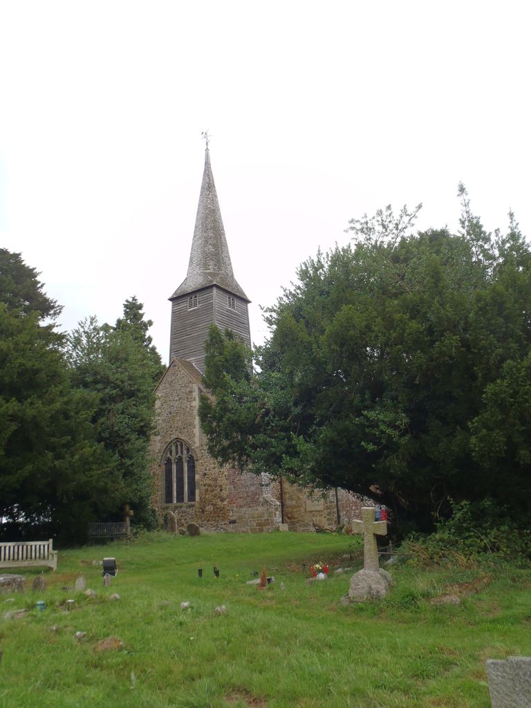
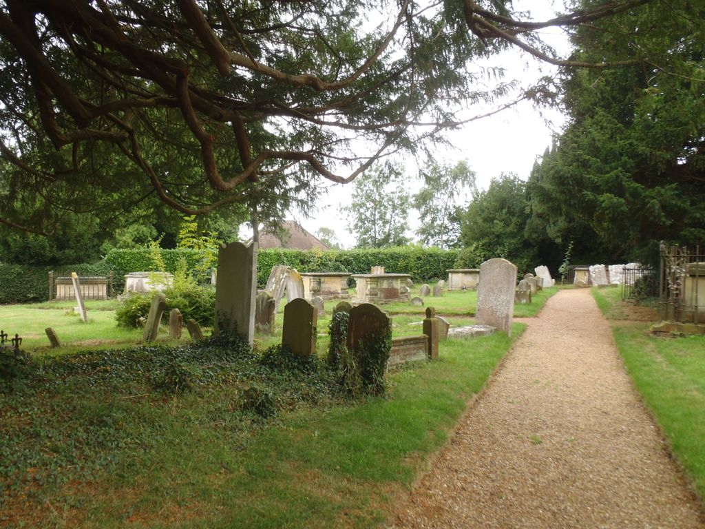
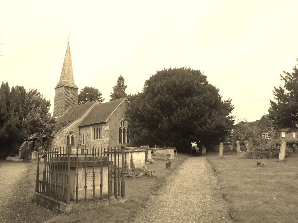
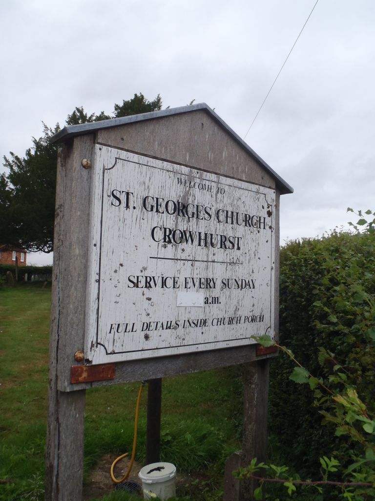
St George's Church is located at No GPS information available Add GPSCrowhurstLane Crowhurst, Tandridge District ,Surrey , RH7 6LREngland.
-
St George's Church cemetery's updated grave count on graveviews.com?
0 memorials
Nearby Cemetories:
1. St. John the Evangelist Churchyard
Blindley Heath, Tandridge District, England
Coordinate: 51.1414480, -0.0392460
2. St Marys Churchyard
Farleigh, Tandridge District, England
Coordinate: 51.1981770, -0.1127510
3. St Peter and St Paul Churchyard
Lingfield, Tandridge District, England
Coordinate: 51.3133408, -0.0557738
4. Beaver Water World
Tatsfield, Tandridge District, England
5. St Mary Churchyard
Tatsfield, Tandridge District, England
Coordinate: 51.3079900, -0.0395000
6. Convent of the Sacred Heart Cemetery
Woldingham, Tandridge District, England
Coordinate: 51.1558610, -0.1247750
7. St. Agatha Churchyard
Woldingham, Tandridge District, England
Coordinate: 51.2465740, -0.0567650
8. Caterham Cemetery
Caterham, Tandridge District, England
9. St James' Church Riddlesdown
Caterham, Tandridge District, England
Coordinate: 51.2590680, -0.0086690
10. St Lawrence Church
Caterham, Tandridge District, England
Coordinate: 51.2852778, -0.1248302
11. St. Lawrence's Hospital Burial Ground
Caterham, Tandridge District, England
Coordinate: 51.3079740, -0.0827840
12. St. Mary the Virgin Churchyard
Caterham, Tandridge District, England
Coordinate: 51.2411080, -0.0911120
13. St John The Divine
Felbridge, Tandridge District, England
Coordinate: 51.1414480, -0.0392460
14. St John the Baptist Churchyard
Outwood, Tandridge District, England
Coordinate: 51.1981770, -0.1127510
15. All Saints Churchyard
Warlingham, Tandridge District, England
Coordinate: 51.3133408, -0.0557738
16. Greatpark Cemetery
Warlingham, Tandridge District, England
17. Greenlawn Memorial Park
Warlingham, Tandridge District, England
Coordinate: 51.3079900, -0.0395000
18. St Bartholomew Churchyard
Burstow, Tandridge District, England
Coordinate: 51.1558610, -0.1247750
19. Saint Nicholas Churchyard
Godstone, Tandridge District, England
Coordinate: 51.2465740, -0.0567650
20. Fayed Estate Grounds
Oxted, Tandridge District, England
21. St Mary the Virgin Churchyard
Oxted, Tandridge District, England
Coordinate: 51.2590680, -0.0086690
22. Chaldon Saint Peter and Saint Paul Churchyard
Whyteleafe, Tandridge District, England
Coordinate: 51.2852778, -0.1248302
23. St Luke Churchyard
Whyteleafe, Tandridge District, England
Coordinate: 51.3079740, -0.0827840
24. Bletchingley Cemetery
Bletchingley, Tandridge District, England
Coordinate: 51.2411080, -0.0911120


