
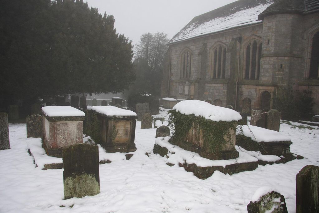
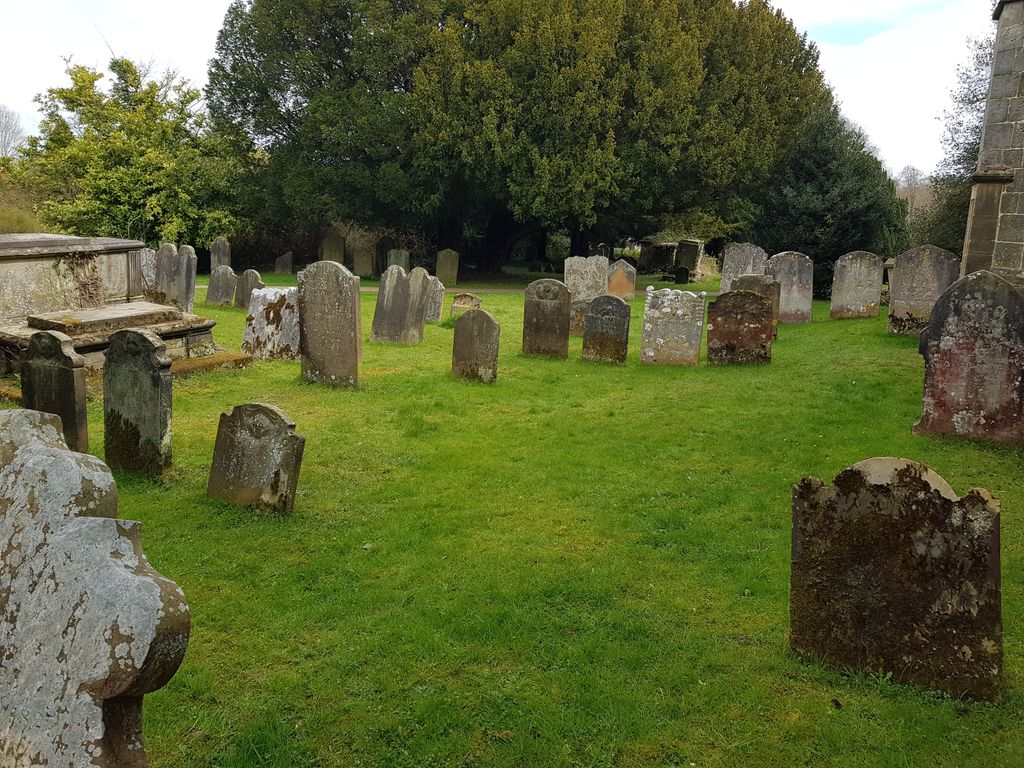
| Memorials | : | 216 |
| Location | : | Lingfield, Tandridge District, England |
| Coordinate | : | 51.1763840, -0.0142480 |
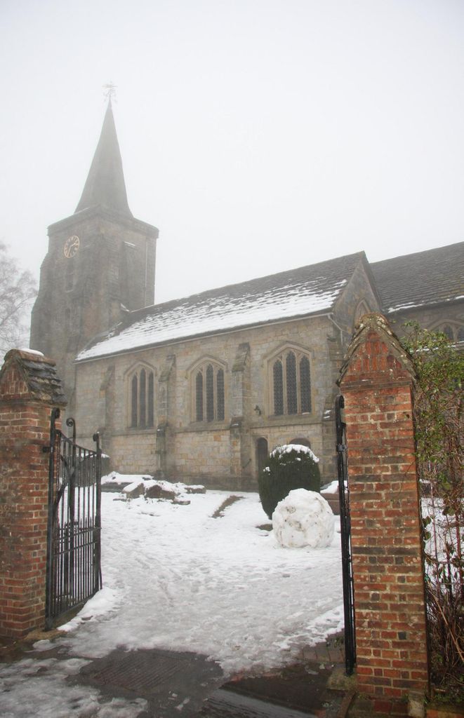
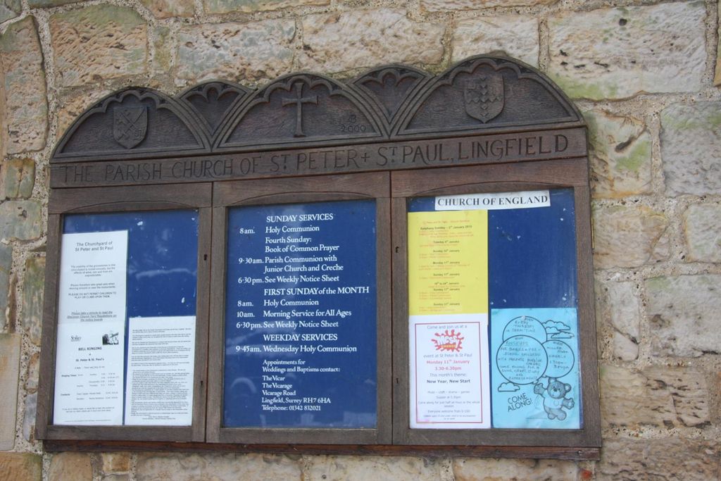
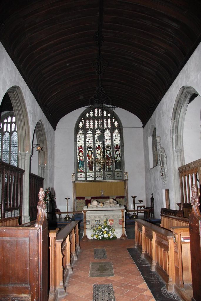
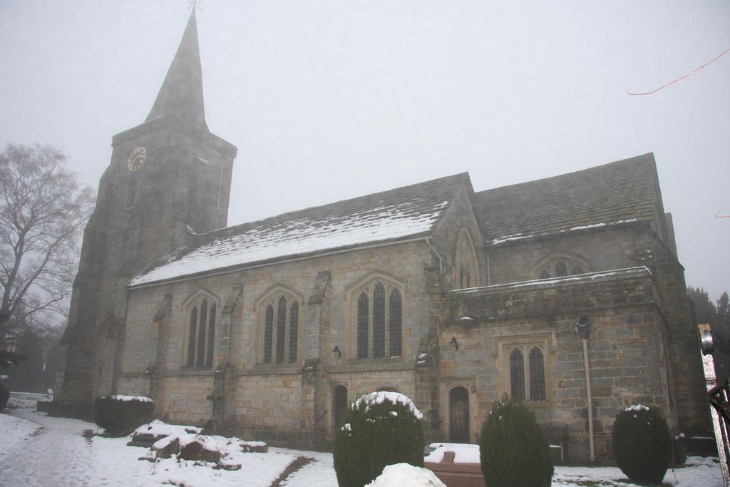
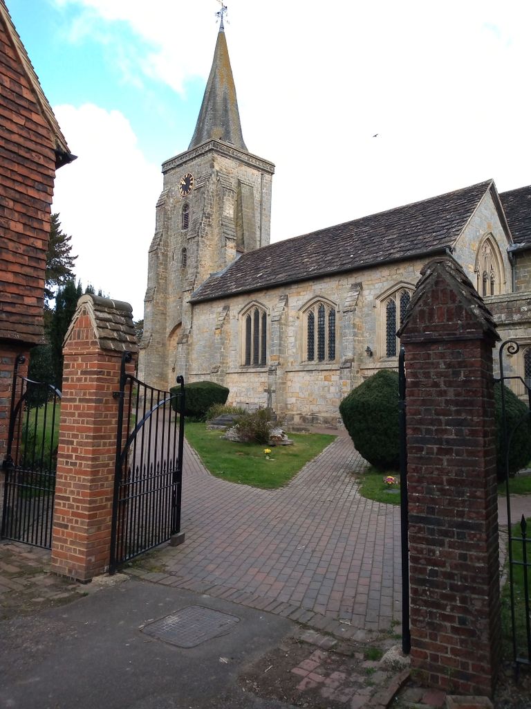
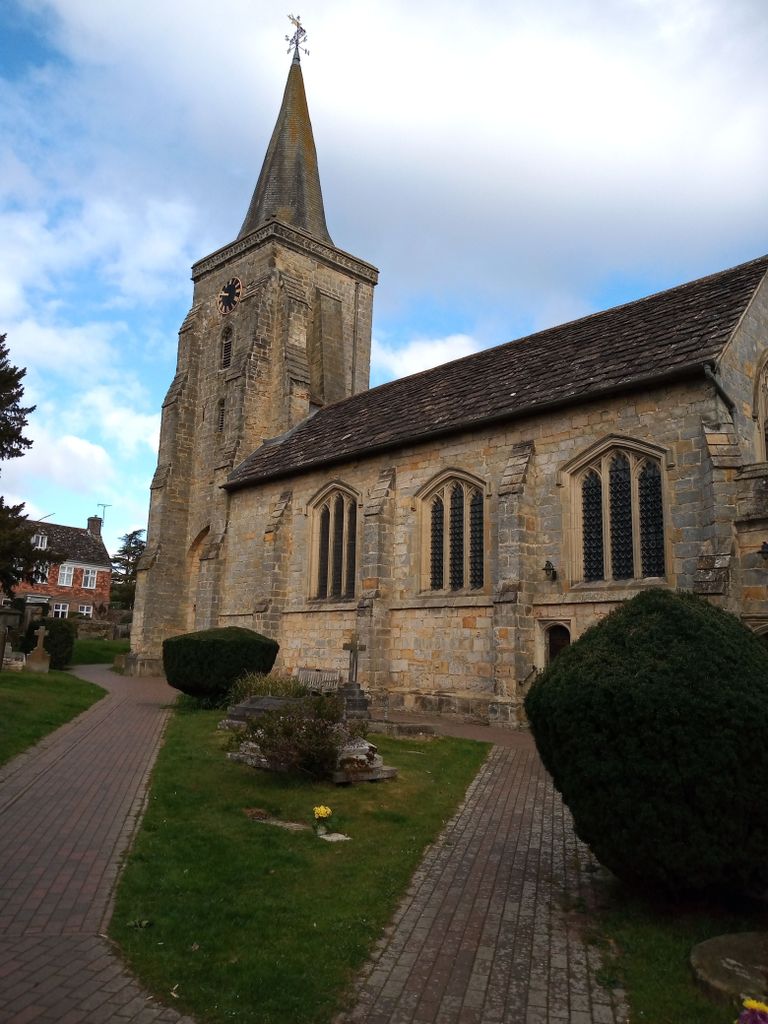
| Description | : | Lingfield is a village in Surrey, approximately 23 miles south of London. Well before the Norman Conquest, there was a Saxon church on this site. The church was rebuilt in the mid fourteenth century and the tower and chancel date from this time. Today it is Grade I listed. The font is fifteenth century and was moved in 1999 when the western end of the church was remodelled. The 1911 Walker organ was restored and enlarged in 1998 but records show that there was an organ in the church as far back as the early 1500s. The original five bells were... Read More |
frequently asked questions (FAQ):
-
Where is St Peter and St Paul Churchyard?
St Peter and St Paul Churchyard is located at Church Road, Old Town Lingfield, Tandridge District ,Surrey , RH7 6AHEngland.
-
St Peter and St Paul Churchyard cemetery's updated grave count on graveviews.com?
207 memorials
-
Where are the coordinates of the St Peter and St Paul Churchyard?
Latitude: 51.1763840
Longitude: -0.0142480
Nearby Cemetories:
1. Dormansland Baptist Chapelyard
Dormansland, Tandridge District, England
Coordinate: 51.1634300, 0.0073300
2. St John the Evangelist Churchyard
Dormansland, Tandridge District, England
Coordinate: 51.1597320, 0.0054300
3. St. John the Evangelist Churchyard
Blindley Heath, Tandridge District, England
Coordinate: 51.1961510, -0.0536070
4. St John The Divine
Felbridge, Tandridge District, England
Coordinate: 51.1414480, -0.0392460
5. Mount Noddy Cemetery
East Grinstead, Mid Sussex District, England
Coordinate: 51.1316231, -0.0066281
6. St. Mary the Virgin Churchyard
Horne, Tandridge District, England
Coordinate: 51.1827330, -0.0886630
7. St. Swithun's Churchyard
East Grinstead, Mid Sussex District, England
Coordinate: 51.1240380, -0.0058020
8. St. Lawrence's Catholic Churchyard
Edenbridge, Sevenoaks District, England
Coordinate: 51.1951354, 0.0654156
9. St Peter and St Paul Churchyard
Edenbridge, Sevenoaks District, England
Coordinate: 51.1959000, 0.0661400
10. Edenbridge Cemetery
Edenbridge, Sevenoaks District, England
Coordinate: 51.1962400, 0.0680000
11. Smallfield Ebenezer Chapel Cemetery
Smallfield, Tandridge District, England
Coordinate: 51.1770230, -0.1151960
12. St John the Baptist Churchyard
Outwood, Tandridge District, England
Coordinate: 51.1981770, -0.1127510
13. St Peter Churchyard
Tandridge, Tandridge District, England
Coordinate: 51.2429480, -0.0320950
14. All Saints Churchyard
Crawley Down, Mid Sussex District, England
Coordinate: 51.1211200, -0.0830650
15. St Bartholomew Churchyard
Burstow, Tandridge District, England
Coordinate: 51.1558610, -0.1247750
16. St. Peter's Churchyard
Holtye, Wealden District, England
Coordinate: 51.1338783, 0.0821108
17. St John the Evangelist Churchyard
Copthorne, Crawley Borough, England
Coordinate: 51.1394100, -0.1175700
18. Saint Nicholas Churchyard
Godstone, Tandridge District, England
Coordinate: 51.2465740, -0.0567650
19. Cowden New Burial Ground
Cowden, Sevenoaks District, England
Coordinate: 51.1447210, 0.0958650
20. Holy Trinity Churchyard
Markbeech, Sevenoaks District, England
Coordinate: 51.1651750, 0.1077720
21. Hever Castle Grounds
Hever, Sevenoaks District, England
Coordinate: 51.1843770, 0.1111220
22. St Peter Churchyard
Hever, Sevenoaks District, England
Coordinate: 51.1838050, 0.1112430
23. Bletchingley Cemetery
Bletchingley, Tandridge District, England
Coordinate: 51.2411080, -0.0911120
24. St Mary the Virgin Churchyard
Oxted, Tandridge District, England
Coordinate: 51.2590680, -0.0086690