
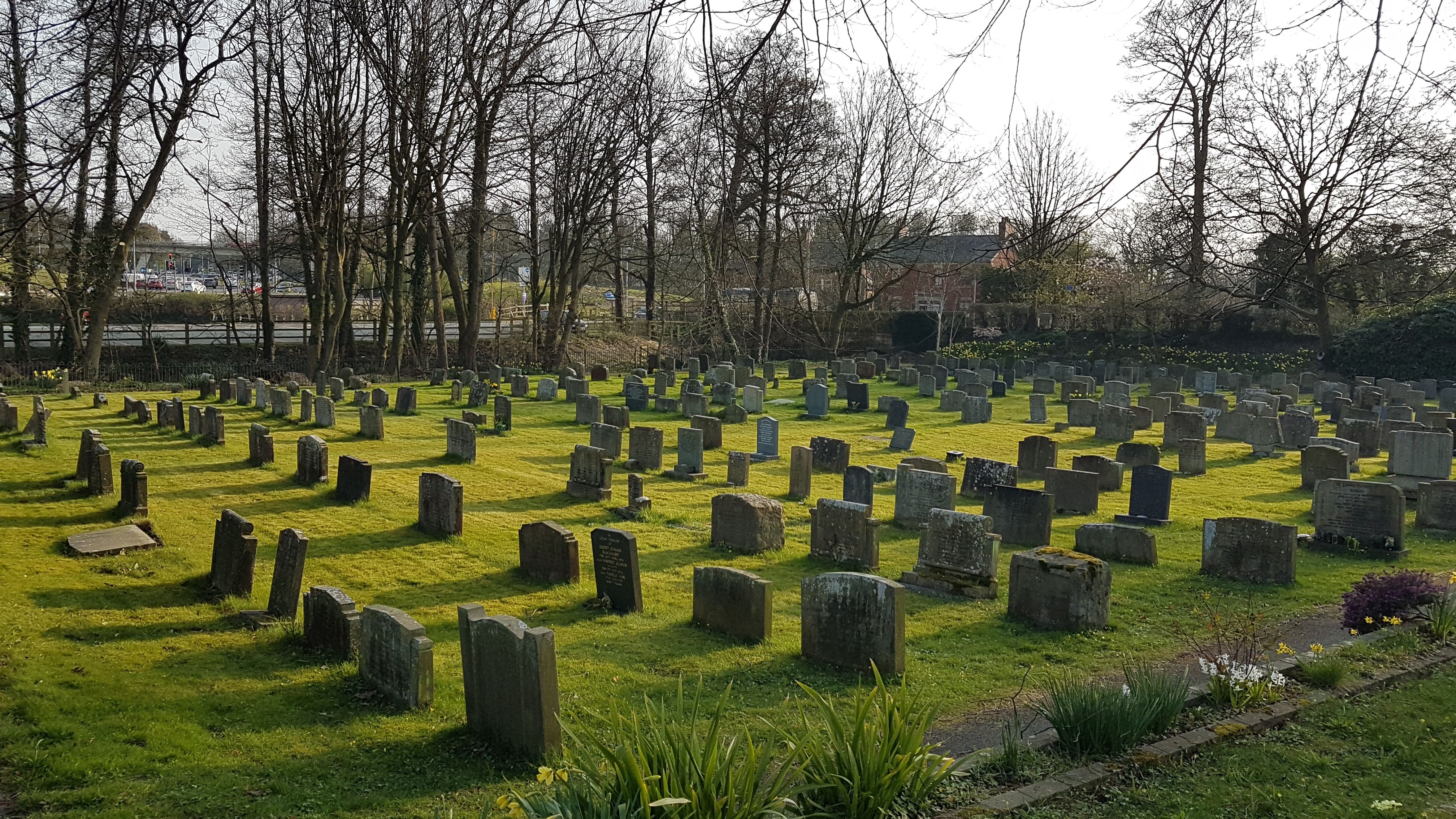
| Memorials | : | 974 |
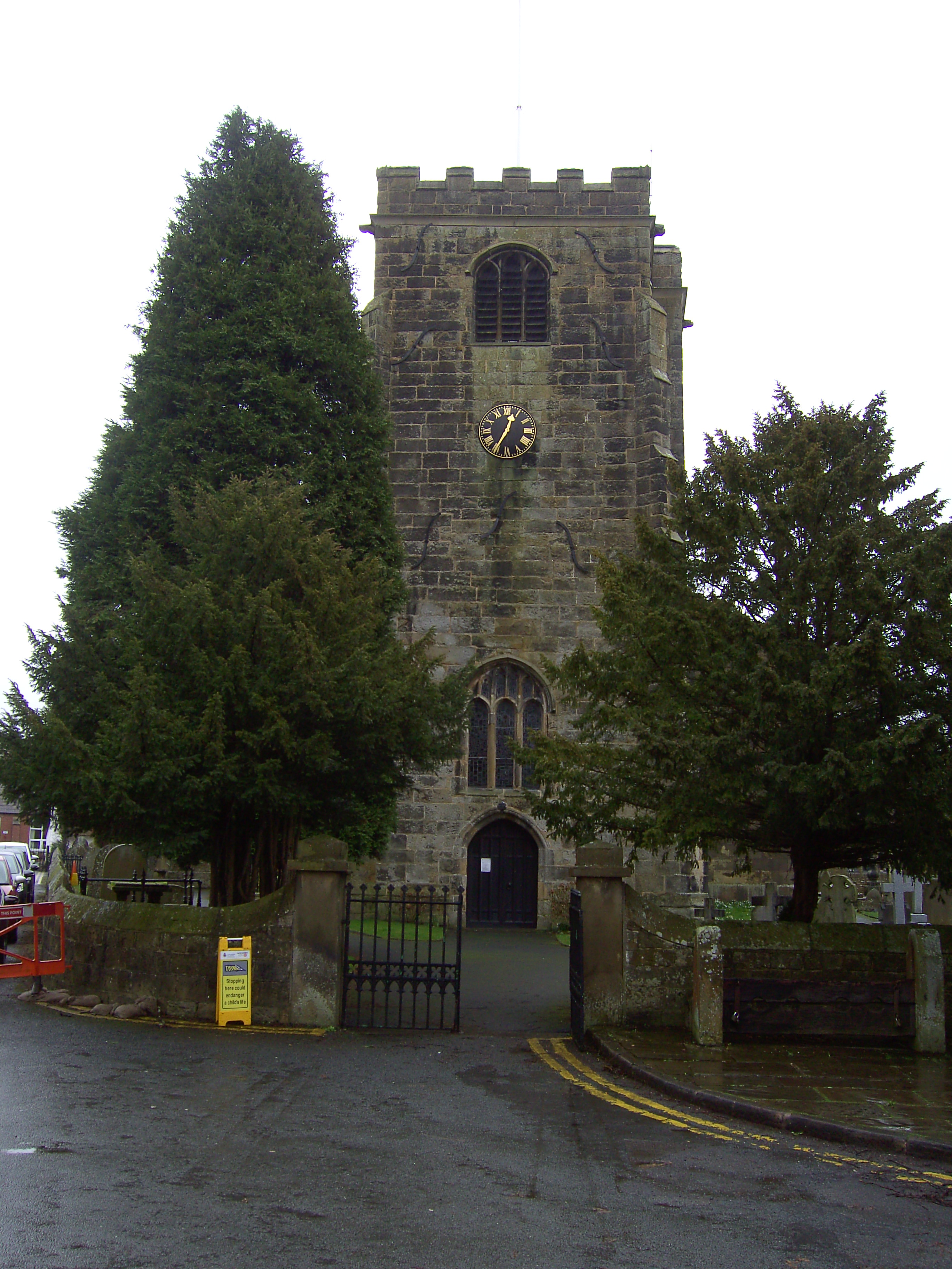
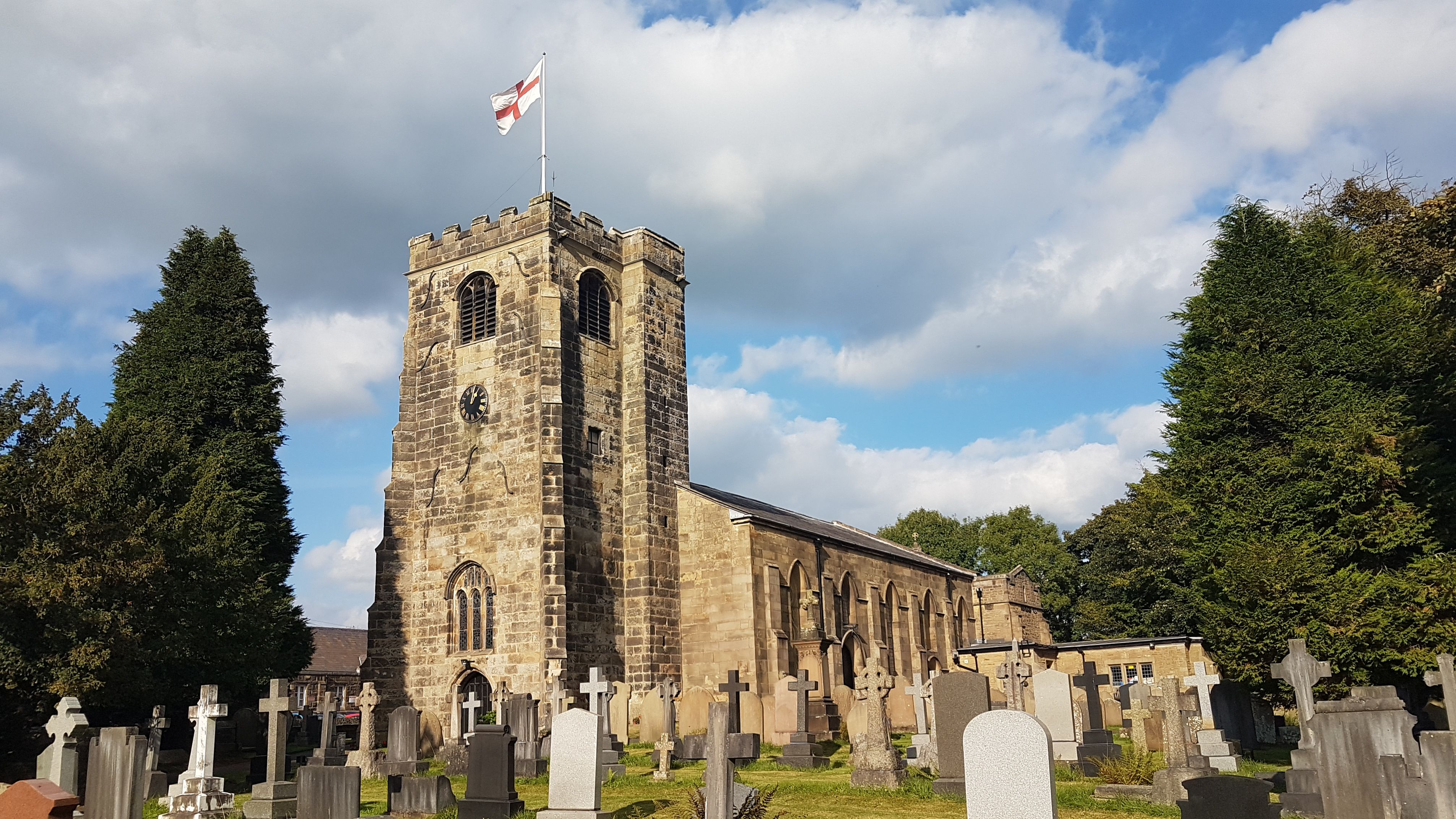
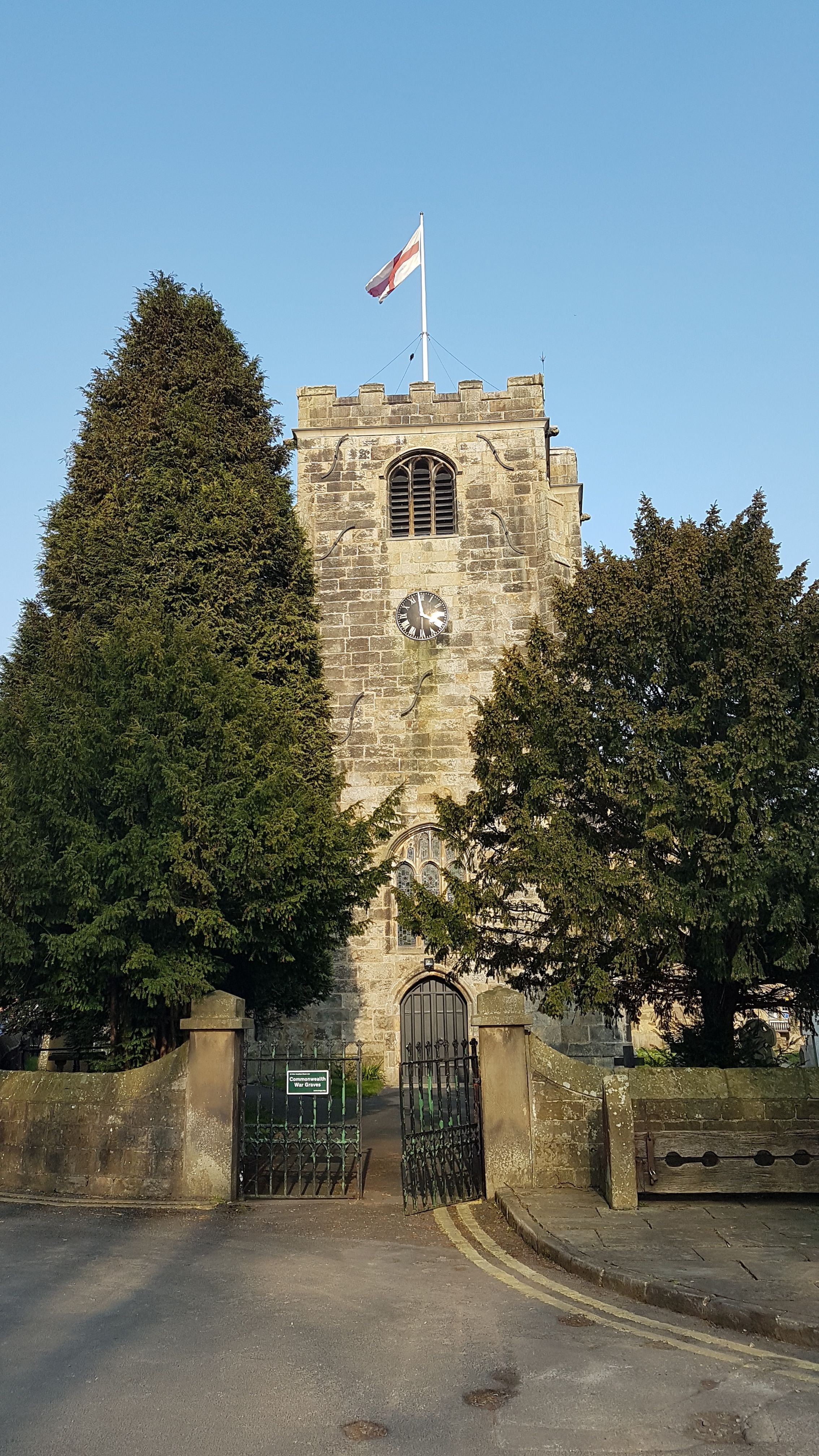
| Location | : | Broughton-in-Amounderness, City of Preston, England |
| Coordinate | : | 53.8033700, -2.7170400 |
| Description | : | Garstang Road, adjacent to J1 M55, Broughton, Lancashire, PR3 5LB |
frequently asked questions (FAQ):
-
Where is St. John Baptist Churchyard?
St. John Baptist Churchyard is located at Church Lane, off Garstang Road, adjacent to J1 M55 Broughton-in-Amounderness, City of Preston ,Lancashire , PR3 5LBEngland.
-
St. John Baptist Churchyard cemetery's updated grave count on graveviews.com?
104 memorials
-
Where are the coordinates of the St. John Baptist Churchyard?
Latitude: 53.8033700
Longitude: -2.7170400
Nearby Cemetories:
1. St Mary's Newhouse
Barton, City of Preston, England
Coordinate: 53.8205240, -2.7406500
2. St. Mary's Churchyard
Preston, City of Preston, England
Coordinate: 53.8010830, -2.6779600
3. Saint Anne's Church
Woodplumpton, City of Preston, England
Coordinate: 53.8038130, -2.7621940
4. Christ Church Churchyard
Fulwood, City of Preston, England
Coordinate: 53.7771920, -2.7028700
5. St. Lawrence Churchyard
Barton, City of Preston, England
Coordinate: 53.8289213, -2.7366654
6. St Andrew George Haydock Roman Catholic Churchyard
Cottam, City of Preston, England
Coordinate: 53.7879280, -2.7591570
7. St. Mary the Virgin Churchyard
Goosnargh, City of Preston, England
Coordinate: 53.8266470, -2.6707030
8. St. Andrew's Churchyard
Ashton-on-Ribble, City of Preston, England
Coordinate: 53.7687030, -2.7359180
9. Whittingham Hospital Cemetery
Goosnargh, City of Preston, England
Coordinate: 53.8208401, -2.6613468
10. Saint Peter Churchyard
Preston, City of Preston, England
Coordinate: 53.7634100, -2.7080700
11. St Walburge's RC Church
Preston, City of Preston, England
Coordinate: 53.7629690, -2.7149620
12. St. Ignatius RC Churchyard
Preston, City of Preston, England
Coordinate: 53.7635270, -2.6965870
13. Holy Trinity
Preston, City of Preston, England
Coordinate: 53.7613030, -2.7030580
14. St. Paul Churchyard
Preston, City of Preston, England
Coordinate: 53.7625360, -2.6947080
15. Friends Meeting House Burial Ground (Defunct)
Preston, City of Preston, England
Coordinate: 53.7610250, -2.7030380
16. Grey Friars' Church
Preston, City of Preston, England
Coordinate: 53.7601480, -2.7084600
17. St. George the Martyr
Preston, City of Preston, England
Coordinate: 53.7591220, -2.7025660
18. Preston New Cemetery
Ribbleton, City of Preston, England
Coordinate: 53.7717400, -2.6620900
19. St. Wilfrid's Catholic Cemetery
Preston, City of Preston, England
Coordinate: 53.7581670, -2.7044930
20. Christ Church Churchyard
Preston, City of Preston, England
Coordinate: 53.7573210, -2.7103080
21. St John Churchyard
Preston, City of Preston, England
Coordinate: 53.7582080, -2.6959750
22. Preston Old Cemetery
Ribbleton, City of Preston, England
Coordinate: 53.7686352, -2.6623154
23. St Mary Churchyard
Penwortham, South Ribble Borough, England
Coordinate: 53.7551800, -2.7234210
24. St. Michael's Churchyard
Grimsargh, City of Preston, England
Coordinate: 53.7990710, -2.6352530