
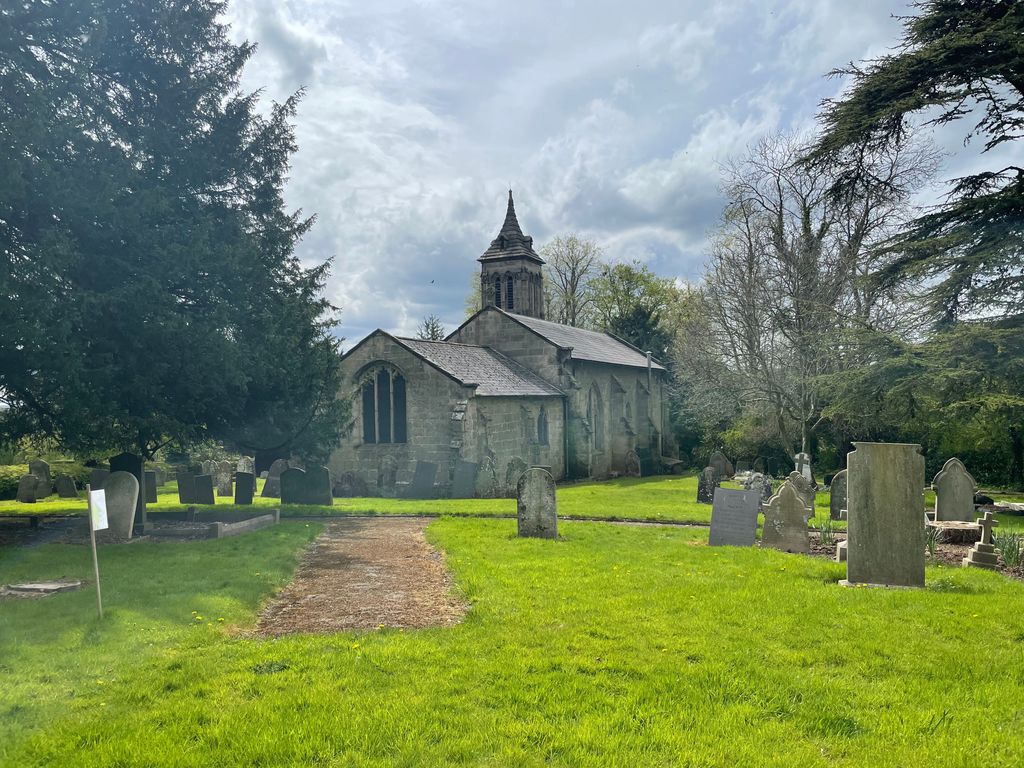
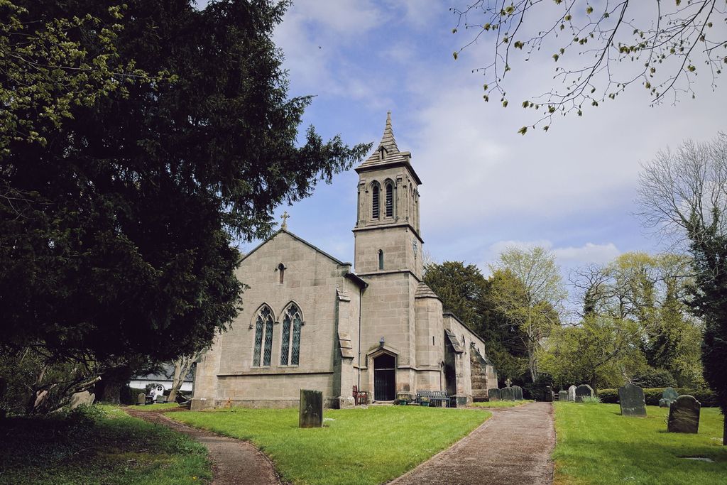
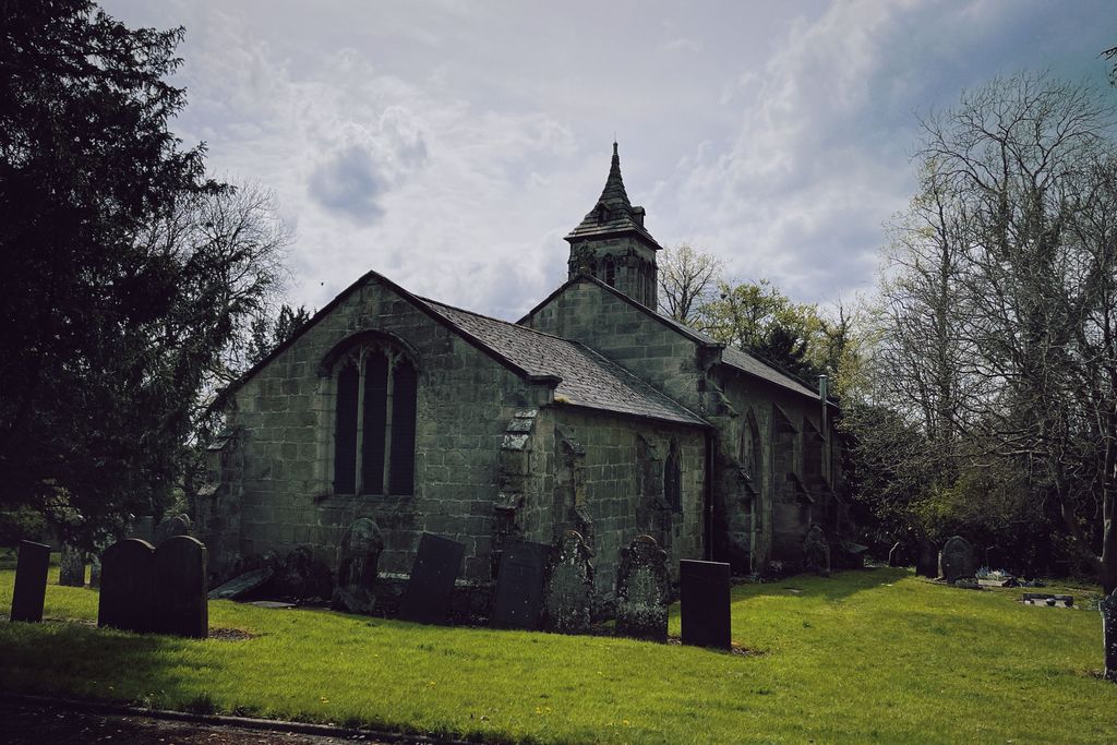
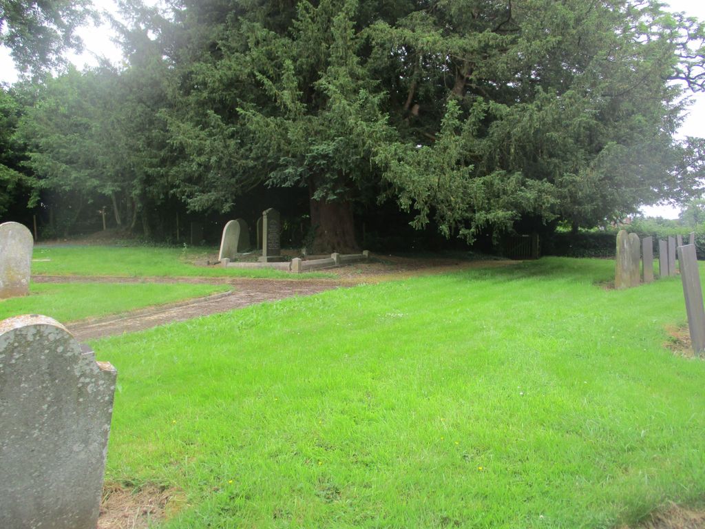
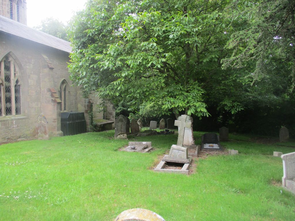
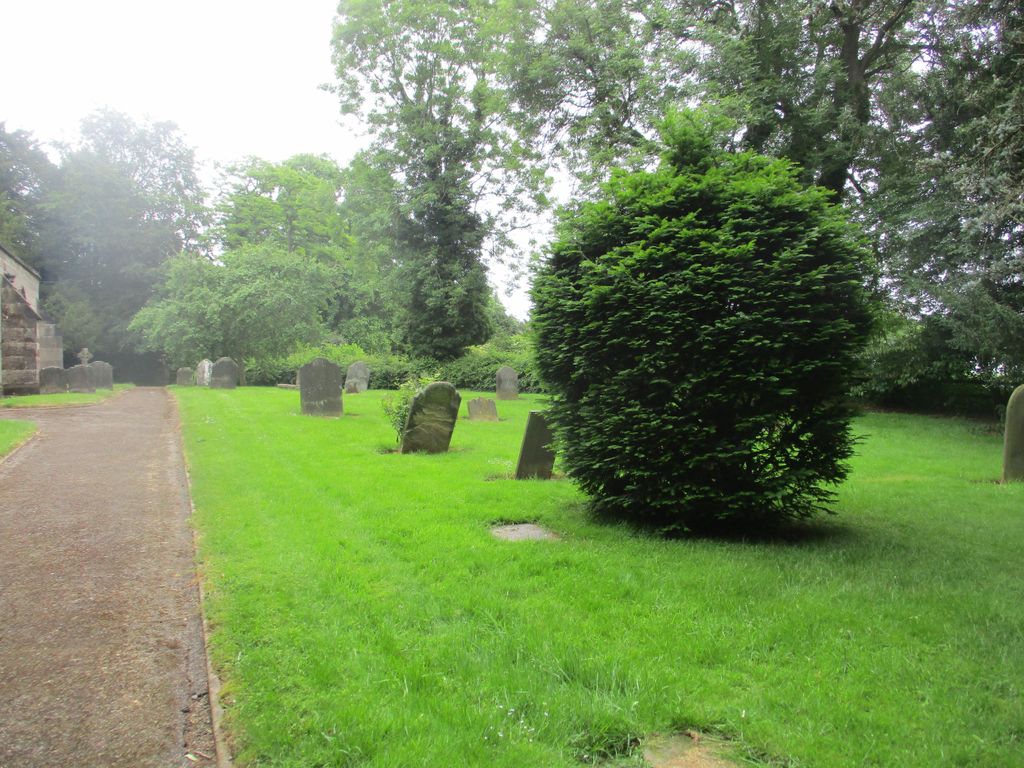
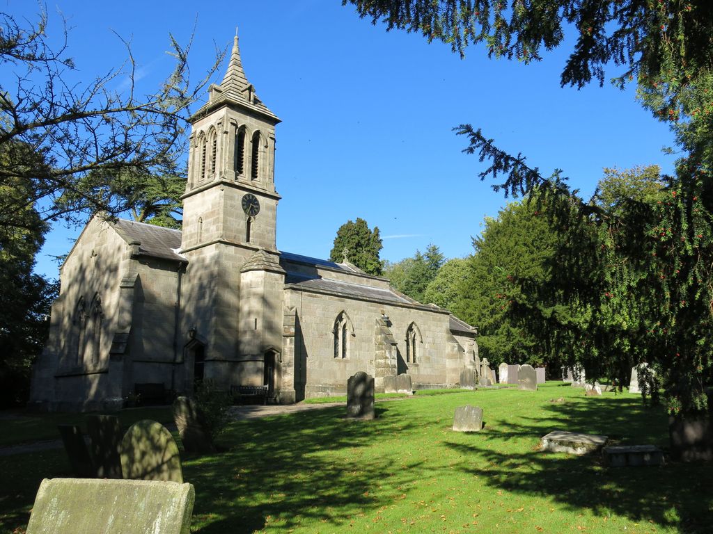
| Memorials | : | 0 |
| Location | : | Boylestone, Derbyshire Dales District, England |
| Coordinate | : | 52.9195410, -1.7313190 |
frequently asked questions (FAQ):
-
Where is St. John the Baptist Churchyard?
St. John the Baptist Churchyard is located at Boylestone, Derbyshire Dales District ,Derbyshire ,England.
-
St. John the Baptist Churchyard cemetery's updated grave count on graveviews.com?
0 memorials
-
Where are the coordinates of the St. John the Baptist Churchyard?
Latitude: 52.9195410
Longitude: -1.7313190


Nearby Cemetories:
1. St. John's Churchyard
Alkmonton, Derbyshire Dales District, England
Coordinate: 52.9438800, -1.7229970
2. St Michael and All Angels Churchyard
Church Broughton, South Derbyshire District, England
Coordinate: 52.9009460, -1.6962610
3. Yeaveley Cemetery
Yeaveley, Derbyshire Dales District, England
Coordinate: 52.9552050, -1.7250170
4. Dove Evangelical Free Church, Somersal Herbert
Doveridge, Derbyshire Dales District, England
Coordinate: 52.9109200, -1.7905560
5. St. Chad Churchyard
Longford, Derbyshire Dales District, England
Coordinate: 52.9419000, -1.6818000
6. All Saints Churchyard
Sudbury, Derbyshire Dales District, England
Coordinate: 52.8867660, -1.7667510
7. St. Giles Churchyard
Marston Montgomery, Derbyshire Dales District, England
Coordinate: 52.9382120, -1.8007610
8. St. Paul's Churchyard Extension
Scropton, South Derbyshire District, England
Coordinate: 52.8687230, -1.7133750
9. St Michael Churchyard
Sutton-on-the-Hill, South Derbyshire District, England
Coordinate: 52.9050080, -1.6484320
10. St Peter's Churchyard
Marchington, East Staffordshire Borough, England
Coordinate: 52.8738278, -1.7967917
11. St. James' Churchyard
Edlaston, Derbyshire Dales District, England
Coordinate: 52.9811080, -1.7316130
12. St. Michael's Churchyard
Shirley, Derbyshire Dales District, England
Coordinate: 52.9718160, -1.6755680
13. St. Cuthbert's Churchyard
Doveridge, Derbyshire Dales District, England
Coordinate: 52.9042368, -1.8317361
14. All Saints Churchyard
Trusley, South Derbyshire District, England
Coordinate: 52.9166300, -1.6243670
15. Priory Church of St. Mary the Virgin
Tutbury, East Staffordshire Borough, England
Coordinate: 52.8590900, -1.6877900
16. Christ Church Cemetery
Long Lane, Derbyshire Dales District, England
Coordinate: 52.9391990, -1.6264140
17. St. Peter's Churchyard
Snelston, Derbyshire Dales District, England
Coordinate: 52.9871570, -1.7700260
18. St Werburgh's Church
Hanbury, East Staffordshire Borough, England
Coordinate: 52.8485000, -1.7478000
19. Marston-on-Dove Cemetery
Marston-on-Dove, South Derbyshire District, England
Coordinate: 52.8640550, -1.6552780
20. RAF Fauld
Hanbury, East Staffordshire Borough, England
Coordinate: 52.8474200, -1.7303500
21. St Mary's
Marston-on-Dove, South Derbyshire District, England
Coordinate: 52.8633910, -1.6547730
22. All Saints Churchyard
Dalbury Lees, South Derbyshire District, England
Coordinate: 52.9053450, -1.6096710
23. All Saints Churchyard
Brailsford, Derbyshire Dales District, England
Coordinate: 52.9683200, -1.6367880
24. St. Martin Churchyard
Osmaston, Derbyshire Dales District, England
Coordinate: 52.9930270, -1.7042370