
| Memorials | : | 0 |
| Location | : | Alkmonton, Derbyshire Dales District, England |
| Coordinate | : | 52.9438800, -1.7229970 |
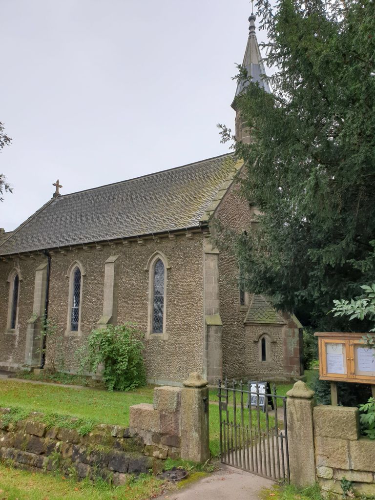
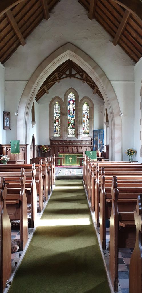
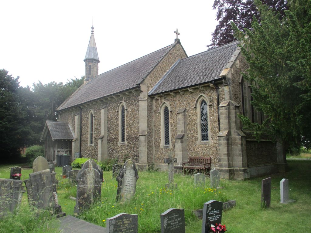
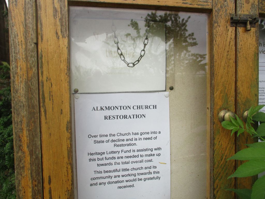
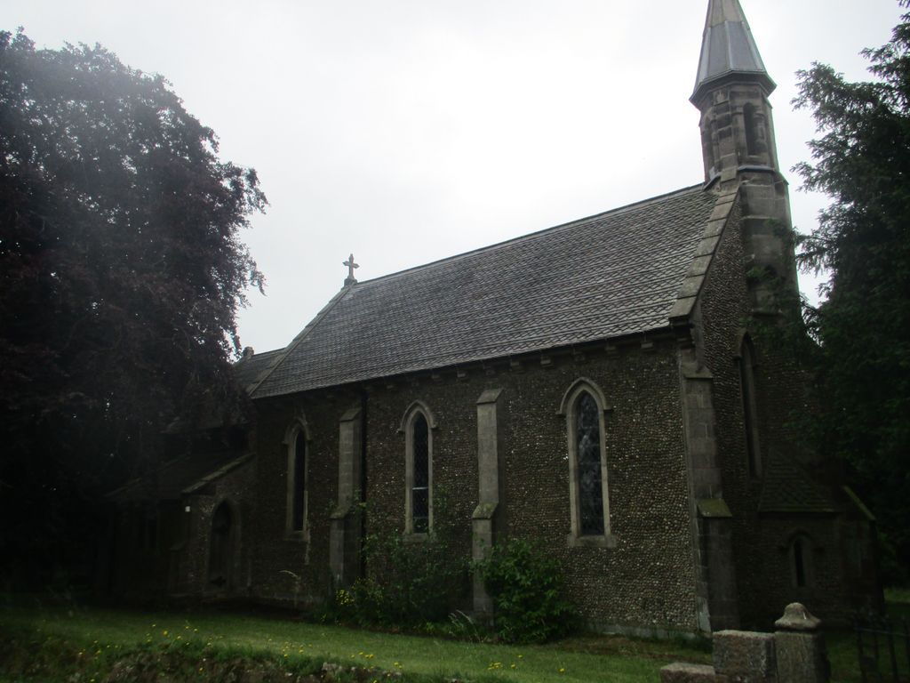
| Description | : | St. John's Church, Long Lane Alkmonton Derbyshire Parish, 1843. Built for Thomas W Evans. Grade II Flint pebble walls with stone dressings and plinth, plus timber framed south porch. Plain tile roofs with inverted fishscale tile bands, stone coped gables with moulded kneelers, carved eaves corbels and ridge cross to east gable of nave, plus octagonal stone bellcote to west, with leaded spire. Nave, lower chancel, north vestry and south porch. Early English style. West elevation has full height widely projecting central buttress, flanked... Read More |
frequently asked questions (FAQ):
-
Where is St. John's Churchyard?
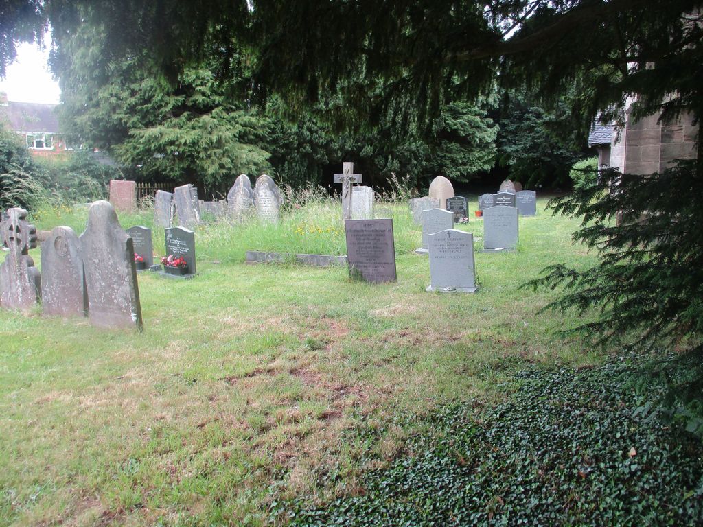
St. John's Churchyard is located at Long Lane Alkmonton, Derbyshire Dales District ,Derbyshire ,England.
-
St. John's Churchyard cemetery's updated grave count on graveviews.com?
0 memorials
-
Where are the coordinates of the St. John's Churchyard?
Latitude: 52.9438800
Longitude: -1.7229970
Nearby Cemetories:
1. Yeaveley Cemetery
Yeaveley, Derbyshire Dales District, England
Coordinate: 52.9552050, -1.7250170
2. St. John the Baptist Churchyard
Boylestone, Derbyshire Dales District, England
Coordinate: 52.9195410, -1.7313190
3. St. Chad Churchyard
Longford, Derbyshire Dales District, England
Coordinate: 52.9419000, -1.6818000
4. St. James' Churchyard
Edlaston, Derbyshire Dales District, England
Coordinate: 52.9811080, -1.7316130
5. St. Michael's Churchyard
Shirley, Derbyshire Dales District, England
Coordinate: 52.9718160, -1.6755680
6. St Michael and All Angels Churchyard
Church Broughton, South Derbyshire District, England
Coordinate: 52.9009460, -1.6962610
7. St. Giles Churchyard
Marston Montgomery, Derbyshire Dales District, England
Coordinate: 52.9382120, -1.8007610
8. St. Martin Churchyard
Osmaston, Derbyshire Dales District, England
Coordinate: 52.9930270, -1.7042370
9. St. Peter's Churchyard
Snelston, Derbyshire Dales District, England
Coordinate: 52.9871570, -1.7700260
10. Dove Evangelical Free Church, Somersal Herbert
Doveridge, Derbyshire Dales District, England
Coordinate: 52.9109200, -1.7905560
11. All Saints Churchyard
Brailsford, Derbyshire Dales District, England
Coordinate: 52.9683200, -1.6367880
12. Brailsford Cemetery
Brailsford, Derbyshire Dales District, England
Coordinate: 52.9687740, -1.6365260
13. Christ Church Cemetery
Long Lane, Derbyshire Dales District, England
Coordinate: 52.9391990, -1.6264140
14. St Michael Churchyard
Sutton-on-the-Hill, South Derbyshire District, England
Coordinate: 52.9050080, -1.6484320
15. Holy Trinity Churchyard
Clifton, Derbyshire Dales District, England
Coordinate: 53.0002710, -1.7545890
16. All Saints Churchyard
Sudbury, Derbyshire Dales District, England
Coordinate: 52.8867660, -1.7667510
17. St. John the Baptist Churchyard
Mayfield, East Staffordshire Borough, England
Coordinate: 52.9998700, -1.7716970
18. St. Mary and St. Barlock Churchyard
Norbury, Derbyshire Dales District, England
Coordinate: 52.9787350, -1.8146430
19. All Saints Churchyard
Trusley, South Derbyshire District, England
Coordinate: 52.9166300, -1.6243670
20. Ashbourne Cemetery
Ashbourne, Derbyshire Dales District, England
Coordinate: 53.0109900, -1.7482450
21. St Oswald Churchyard
Ashbourne, Derbyshire Dales District, England
Coordinate: 53.0149220, -1.7386720
22. All Saints Churchyard
Bradley, Derbyshire Dales District, England
Coordinate: 53.0105800, -1.6682420
23. St. Paul's Churchyard Extension
Scropton, South Derbyshire District, England
Coordinate: 52.8687230, -1.7133750
24. St. Cuthbert's Churchyard
Doveridge, Derbyshire Dales District, England
Coordinate: 52.9042368, -1.8317361