
| Memorials | : | 0 |
| Location | : | Yeaveley, Derbyshire Dales District, England |
| Coordinate | : | 52.9552050, -1.7250170 |
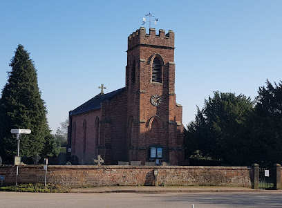
| Description | : | Yeaveley Cemetery is a relatively new cemetery on Leapley Lane about half a mile south of the village. There are only burials since 1960, older memorials recorded here are probably in the churchyard of Holy Trinity church in the village. |
frequently asked questions (FAQ):
-
Where is Yeaveley Cemetery?
Yeaveley Cemetery is located at Yeaveley, Derbyshire Dales District ,Derbyshire ,England.
-
Yeaveley Cemetery cemetery's updated grave count on graveviews.com?
0 memorials
-
Where are the coordinates of the Yeaveley Cemetery?
Latitude: 52.9552050
Longitude: -1.7250170
Nearby Cemetories:
1. St. John's Churchyard
Alkmonton, Derbyshire Dales District, England
Coordinate: 52.9438800, -1.7229970
2. St. James' Churchyard
Edlaston, Derbyshire Dales District, England
Coordinate: 52.9811080, -1.7316130
3. St. Chad Churchyard
Longford, Derbyshire Dales District, England
Coordinate: 52.9419000, -1.6818000
4. St. Michael's Churchyard
Shirley, Derbyshire Dales District, England
Coordinate: 52.9718160, -1.6755680
5. St. John the Baptist Churchyard
Boylestone, Derbyshire Dales District, England
Coordinate: 52.9195410, -1.7313190
6. St. Martin Churchyard
Osmaston, Derbyshire Dales District, England
Coordinate: 52.9930270, -1.7042370
7. St. Peter's Churchyard
Snelston, Derbyshire Dales District, England
Coordinate: 52.9871570, -1.7700260
8. Holy Trinity Churchyard
Clifton, Derbyshire Dales District, England
Coordinate: 53.0002710, -1.7545890
9. St. Giles Churchyard
Marston Montgomery, Derbyshire Dales District, England
Coordinate: 52.9382120, -1.8007610
10. St. John the Baptist Churchyard
Mayfield, East Staffordshire Borough, England
Coordinate: 52.9998700, -1.7716970
11. All Saints Churchyard
Brailsford, Derbyshire Dales District, England
Coordinate: 52.9683200, -1.6367880
12. Brailsford Cemetery
Brailsford, Derbyshire Dales District, England
Coordinate: 52.9687740, -1.6365260
13. St Michael and All Angels Churchyard
Church Broughton, South Derbyshire District, England
Coordinate: 52.9009460, -1.6962610
14. Ashbourne Cemetery
Ashbourne, Derbyshire Dales District, England
Coordinate: 53.0109900, -1.7482450
15. St. Mary and St. Barlock Churchyard
Norbury, Derbyshire Dales District, England
Coordinate: 52.9787350, -1.8146430
16. Dove Evangelical Free Church, Somersal Herbert
Doveridge, Derbyshire Dales District, England
Coordinate: 52.9109200, -1.7905560
17. St Oswald Churchyard
Ashbourne, Derbyshire Dales District, England
Coordinate: 53.0149220, -1.7386720
18. Christ Church Cemetery
Long Lane, Derbyshire Dales District, England
Coordinate: 52.9391990, -1.6264140
19. All Saints Churchyard
Bradley, Derbyshire Dales District, England
Coordinate: 53.0105800, -1.6682420
20. St Michael Churchyard
Sutton-on-the-Hill, South Derbyshire District, England
Coordinate: 52.9050080, -1.6484320
21. Saint Peter's Cemetery
Ellastone, East Staffordshire Borough, England
Coordinate: 52.9882900, -1.8275000
22. All Saints Churchyard
Trusley, South Derbyshire District, England
Coordinate: 52.9166300, -1.6243670
23. All Saints Churchyard
Sudbury, Derbyshire Dales District, England
Coordinate: 52.8867660, -1.7667510
24. Mapleton, St Mary
Ashbourne, Derbyshire Dales District, England
Coordinate: 53.0294190, -1.7544910