| Memorials | : | 0 |
| Location | : | Widford, East Hertfordshire District, England |
| Coordinate | : | 51.8228370, 0.0491000 |
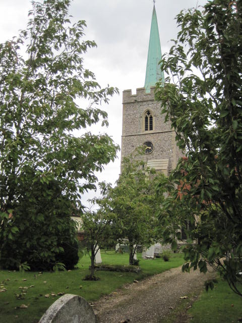
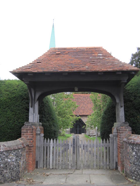
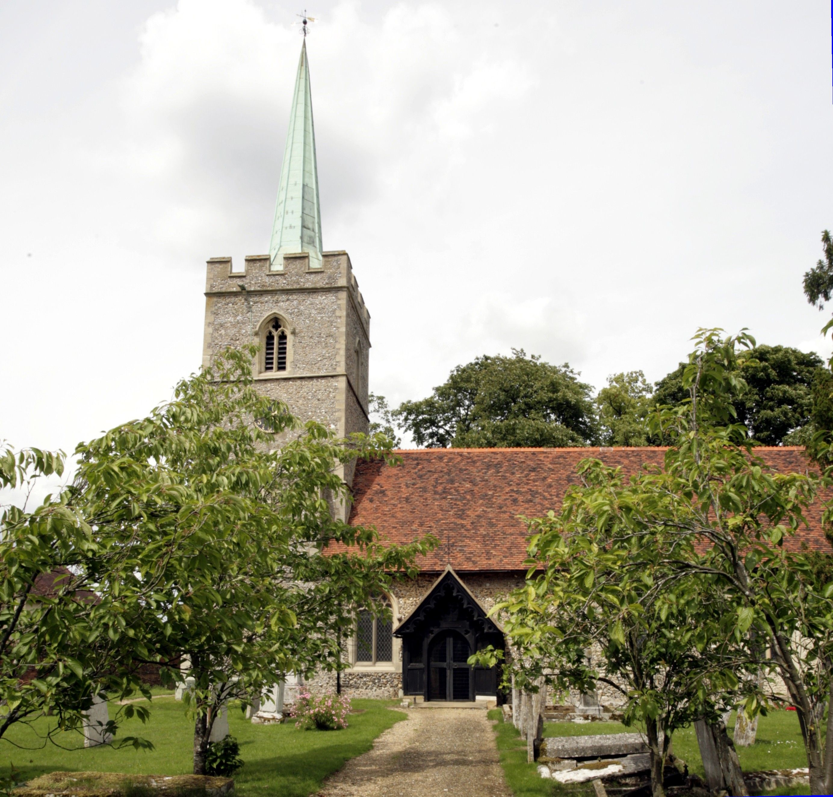
| Description | : | The Church of St John the Baptist in Widford dates to the fourteenth century but incorporates fabric and arch fragments from the early twelfth century suggesting an earlier church stood on the site following the Norman Conquest. The church was constructed in flint rubble with clunch dressings and the tower walls (dating to the fifteenth century) contain Barnack stone. There are also some fine wall paintings dating from c 1300 along its north wall. |
frequently asked questions (FAQ):
-
Where is St. John the Baptist Churchyard?
St. John the Baptist Churchyard is located at Widford, East Hertfordshire District ,Hertfordshire ,England.
-
St. John the Baptist Churchyard cemetery's updated grave count on graveviews.com?
0 memorials
-
Where are the coordinates of the St. John the Baptist Churchyard?
Latitude: 51.8228370
Longitude: 0.0491000
Nearby Cemetories:
1. Holy Trinity Churchyard
Wareside, East Hertfordshire District, England
Coordinate: 51.8212430, 0.0221440
2. St. Dunstan Churchyard
Hunsdon, East Hertfordshire District, England
Coordinate: 51.7951000, 0.0548190
3. St. Thomas' Churchyard
Perry Green, East Hertfordshire District, England
Coordinate: 51.8419070, 0.0835140
4. St Mary's Churchyard
Gilston, East Hertfordshire District, England
Coordinate: 51.8016340, 0.0855550
5. St Andrew & Holy Cross Churchyard
Much Hadham, East Hertfordshire District, England
Coordinate: 51.8573180, 0.0754260
6. St Botolph Church
Eastwick, East Hertfordshire District, England
Coordinate: 51.7851000, 0.0776000
7. Thundridge Old Churchyard
Thundridge, East Hertfordshire District, England
Coordinate: 51.8378330, -0.0156530
8. St James' Churchyard
Stanstead Abbotts, East Hertfordshire District, England
Coordinate: 51.7806920, 0.0275950
9. St John the Baptist Churchyard
Great Amwell, East Hertfordshire District, England
Coordinate: 51.7944320, -0.0123740
10. Saint James the Great Churchyard
Sawbridgeworth, East Hertfordshire District, England
Coordinate: 51.8066600, 0.1213100
11. St. Margaret's Parish Churchyard
Stanstead St Margarets, East Hertfordshire District, England
Coordinate: 51.7857570, -0.0002631
12. St. Mary's Churchyard
Little Parndon, Harlow District, England
Coordinate: 51.7792683, 0.0840760
13. St. Mary Parish Churchyard
Thundridge, East Hertfordshire District, England
Coordinate: 51.8366590, -0.0291820
14. St John the Evangelist Churchyard
High Cross, East Hertfordshire District, England
Coordinate: 51.8500010, -0.0213550
15. Roydon United Reform Churchyard
Roydon, Epping Forest District, England
Coordinate: 51.7714050, 0.0460240
16. Saint Mary's Churchyard
Ware, East Hertfordshire District, England
Coordinate: 51.8120500, -0.0331800
17. Ware Cemetery Old
Ware, East Hertfordshire District, England
Coordinate: 51.8170650, -0.0433230
18. Ware Cemetery New
Ware, East Hertfordshire District, England
Coordinate: 51.8181400, -0.0438590
19. St. Mary's Churchyard
Standon, East Hertfordshire District, England
Coordinate: 51.8813515, 0.0273820
20. St James The Great Churchyard
Thorley, East Hertfordshire District, England
Coordinate: 51.8486900, 0.1411600
21. St Mary-at-Latton Churchyard
Latton, Harlow District, England
Coordinate: 51.7774500, 0.1206750
22. St Mary the Virgin Churchyard
Great Parndon, Harlow District, England
Coordinate: 51.7605100, 0.0739860
23. Great St. Mary Churchyard
Sawbridgeworth, East Hertfordshire District, England
Coordinate: 51.8123290, 0.1527570
24. Hoddesdon Cemetery
Hoddesdon, Broxbourne Borough, England
Coordinate: 51.7711490, -0.0156822


