
| Memorials | : | 0 |
| Location | : | Standon, East Hertfordshire District, England |
| Coordinate | : | 51.8813515, 0.0273820 |
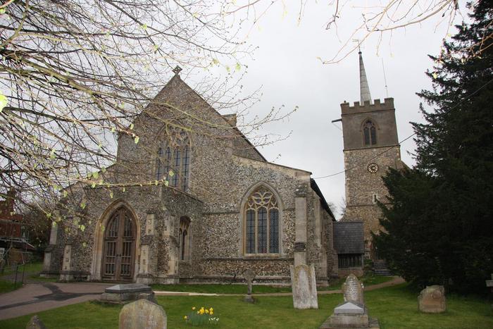
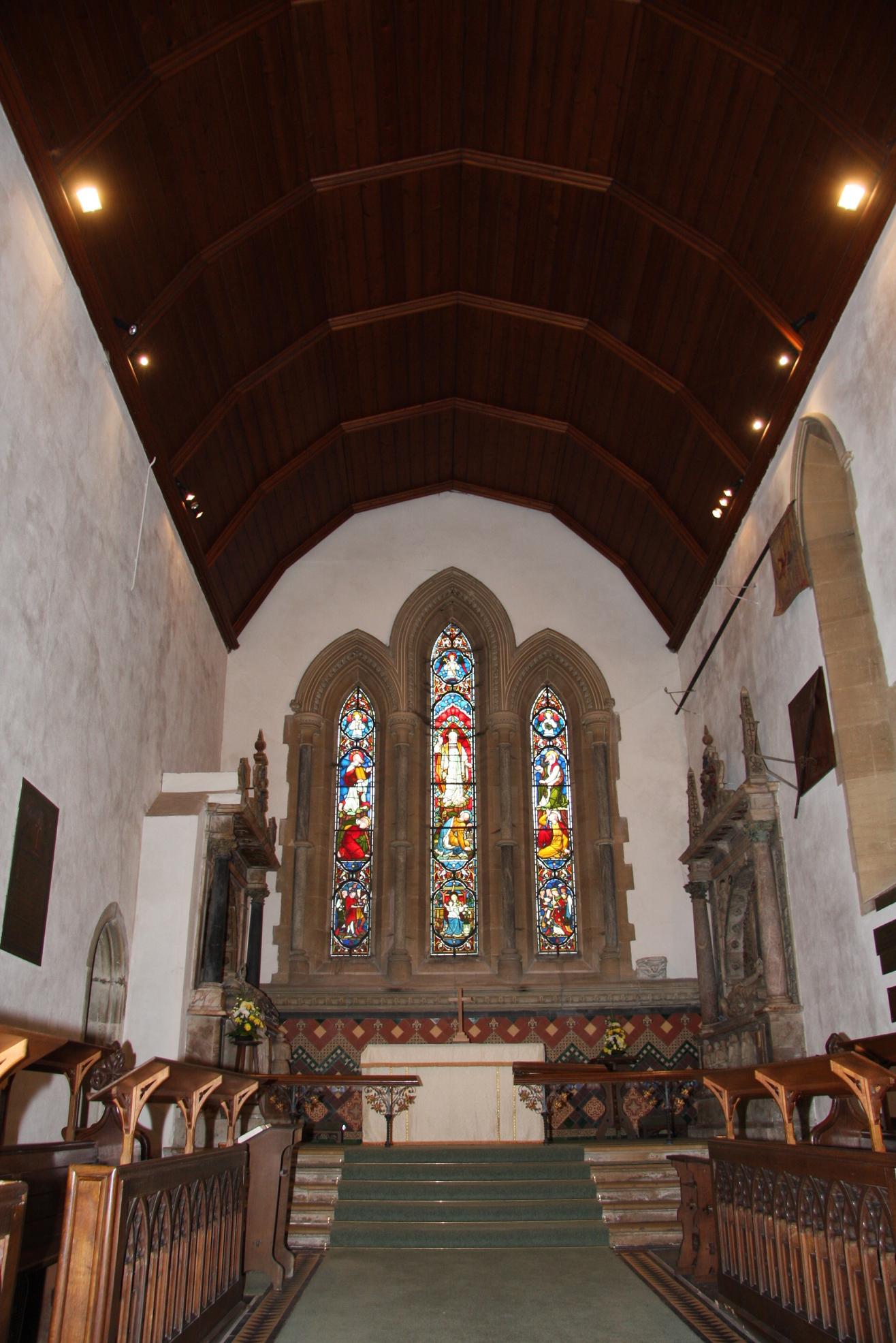
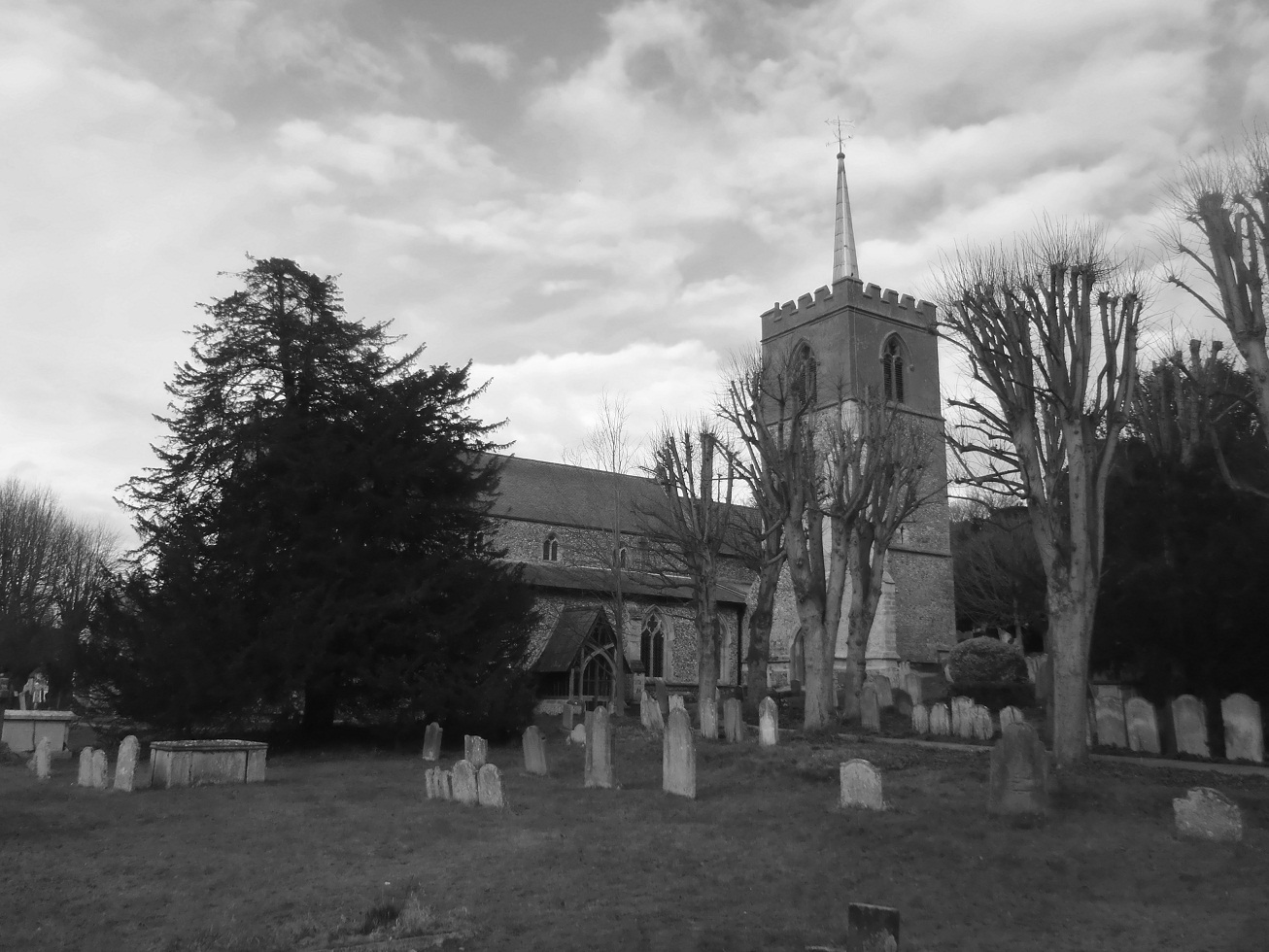
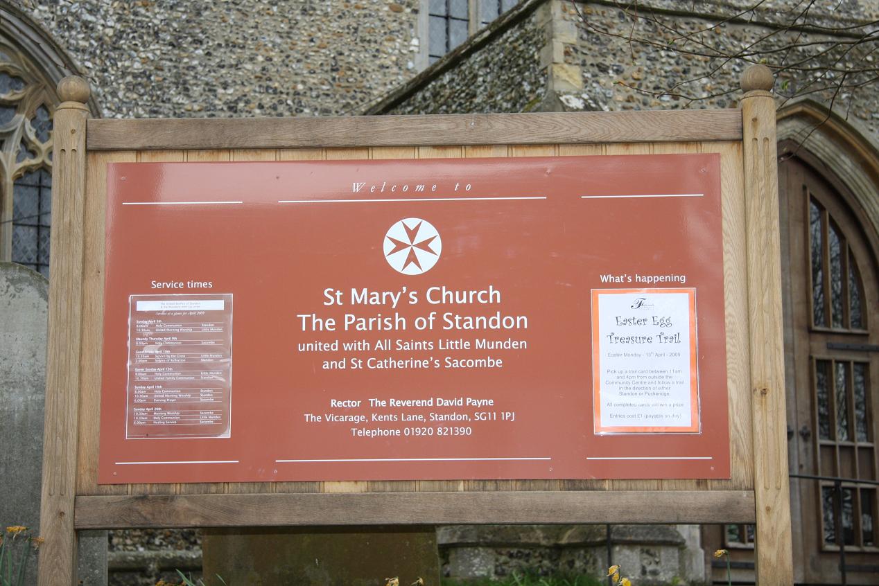
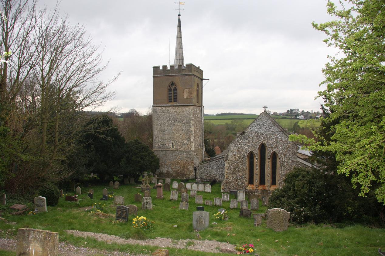
| Description | : | Standon is a village,(formerly a market town in the ancient Hundred of Braughing)and civil parish in Hertfordshire which includes the adjoining village of Puckeridge.It lies 8 miles north-east of the county town of Hertford and about five miles from Ware, on the old Cambridge road. The Prime Meridian passes to the west of Standon. The place-name is first mentioned in a Saxon charter of 944-6 AD and means 'stony hill'. St. Mary's Church lies at the junction of the major road joining London and Cambridge (A10) with that serving the East coast of England (A120). The origins of... Read More |
frequently asked questions (FAQ):
-
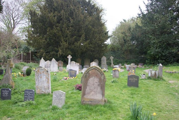
Where is St. Mary's Churchyard?
St. Mary's Churchyard is located at High Street Standon, East Hertfordshire District ,Hertfordshire , SG11 1 LBEngland.
-
St. Mary's Churchyard cemetery's updated grave count on graveviews.com?
0 memorials
-
Where are the coordinates of the St. Mary's Churchyard?
Latitude: 51.8813515
Longitude: 0.0273820
Nearby Cemetories:
1. Puckeridge Chapel
Northchurch, Dacorum Borough, England
Coordinate: 51.8890720, 0.0106480
2. St Edmund of Canterbury and the English Martyrs
Old Hall Green, East Hertfordshire District, England
Coordinate: 51.8799220, -0.0110510
3. St Mary the Virgin Churchyard
Braughing, East Hertfordshire District, England
Coordinate: 51.9078420, 0.0282310
4. St Andrew & Holy Cross Churchyard
Much Hadham, East Hertfordshire District, England
Coordinate: 51.8573180, 0.0754260
5. St. Nicholas' Churchyard
Great Munden, East Hertfordshire District, England
Coordinate: 51.8996010, -0.0316180
6. St Mary's Churchyard
Albury, East Hertfordshire District, England
Coordinate: 51.9026500, 0.0852920
7. St John the Evangelist Churchyard
High Cross, East Hertfordshire District, England
Coordinate: 51.8500010, -0.0213550
8. St Cecilia Churchyard
Little Hadham, East Hertfordshire District, England
Coordinate: 51.8847860, 0.0997890
9. St. Mary the Virgin-Westmill
St Albans, St Albans District, England
Coordinate: 51.9262000, -0.0098000
10. Thundridge Old Churchyard
Thundridge, East Hertfordshire District, England
Coordinate: 51.8378330, -0.0156530
11. St. Thomas' Churchyard
Perry Green, East Hertfordshire District, England
Coordinate: 51.8419070, 0.0835140
12. All Saints Churchyard
Little Munden, East Hertfordshire District, England
Coordinate: 51.8795770, -0.0625920
13. St. Mary Parish Churchyard
Thundridge, East Hertfordshire District, England
Coordinate: 51.8366590, -0.0291820
14. St. John the Baptist Churchyard
Widford, East Hertfordshire District, England
Coordinate: 51.8228370, 0.0491000
15. St Mary the Virgin Churchyard
Furneux Pelham, East Hertfordshire District, England
Coordinate: 51.9316710, 0.0808950
16. Holy Trinity Churchyard
Wareside, East Hertfordshire District, England
Coordinate: 51.8212430, 0.0221440
17. Little Hormead St Mary Churchyard
Hormead, East Hertfordshire District, England
Coordinate: 51.9428430, 0.0331630
18. Great Hormead St Nicholas Churchyard
Hormead, East Hertfordshire District, England
Coordinate: 51.9469500, 0.0353300
19. Hare Street Benson Grounds
Buntingford, East Hertfordshire District, England
Coordinate: 51.9492640, 0.0221120
20. St Bartholomew's Church Churchyard
Buntingford, East Hertfordshire District, England
Coordinate: 51.9525530, -0.0089720
21. Ware Cemetery New
Ware, East Hertfordshire District, England
Coordinate: 51.8181400, -0.0438590
22. St James The Great Churchyard
Thorley, East Hertfordshire District, England
Coordinate: 51.8486900, 0.1411600
23. Ware Cemetery Old
Ware, East Hertfordshire District, England
Coordinate: 51.8170650, -0.0433230
24. Saint Mary's Churchyard
Ware, East Hertfordshire District, England
Coordinate: 51.8120500, -0.0331800