
| Memorials | : | 1 |
| Location | : | Stanstead St Margarets, East Hertfordshire District, England |
| Website | : | www.3churches.net/ |
| Coordinate | : | 51.7857570, -0.0002631 |
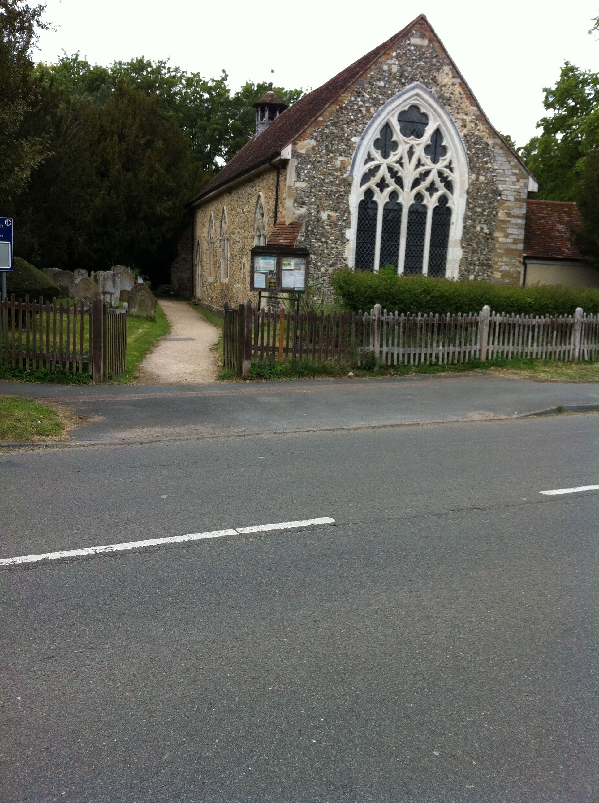
| Description | : | The village was named after the wife of the Lord of the Manor, Margaret, but the church is actually dedicated to the Blessed Virgin Mary. The church is recorded c1300 but earlier parts of the structure remain from the late 11th century. |
frequently asked questions (FAQ):
-
Where is St. Margaret's Parish Churchyard?
St. Margaret's Parish Churchyard is located at Hoddesdon Road Stanstead St Margarets, East Hertfordshire District ,Hertfordshire , SG12 8EGEngland.
-
St. Margaret's Parish Churchyard cemetery's updated grave count on graveviews.com?
1 memorials
-
Where are the coordinates of the St. Margaret's Parish Churchyard?
Latitude: 51.7857570
Longitude: -0.0002631

Nearby Cemetories:
1. St John the Baptist Churchyard
Great Amwell, East Hertfordshire District, England
Coordinate: 51.7944320, -0.0123740
2. Hoddesdon Cemetery
Hoddesdon, Broxbourne Borough, England
Coordinate: 51.7711490, -0.0156822
3. St James' Churchyard
Stanstead Abbotts, East Hertfordshire District, England
Coordinate: 51.7806920, 0.0275950
4. St Catherine and St Paul's Churchyard
Hoddesdon, Broxbourne Borough, England
Coordinate: 51.7625830, -0.0120670
5. Woollensbrook Crematorium
Hoddesdon, Broxbourne Borough, England
Coordinate: 51.7681805, -0.0280669
6. Quaker Burial Ground, Hoddesdon, Hertfordshire
Hoddesdon, Broxbourne Borough, England
Coordinate: 51.7610213, -0.0139560
7. Holy Trinity Churchyard
Hertford Heath, East Hertfordshire District, England
Coordinate: 51.7865300, -0.0433980
8. Roydon United Reform Churchyard
Roydon, Epping Forest District, England
Coordinate: 51.7714050, 0.0460240
9. Saint Mary's Churchyard
Ware, East Hertfordshire District, England
Coordinate: 51.8120500, -0.0331800
10. St. Dunstan Churchyard
Hunsdon, East Hertfordshire District, England
Coordinate: 51.7951000, 0.0548190
11. Holy Trinity Churchyard
Wareside, East Hertfordshire District, England
Coordinate: 51.8212430, 0.0221440
12. Ware Cemetery Old
Ware, East Hertfordshire District, England
Coordinate: 51.8170650, -0.0433230
13. Ware Cemetery New
Ware, East Hertfordshire District, England
Coordinate: 51.8181400, -0.0438590
14. Saint Augustine's Churchyard
Broxbourne, Broxbourne Borough, England
Coordinate: 51.7445150, -0.0147810
15. All Saints with Saint John Churchyard
Hertford, East Hertfordshire District, England
Coordinate: 51.7950040, -0.0757330
16. The Immaculate Conception and St Joseph
Hertford, East Hertfordshire District, England
Coordinate: 51.7988966, -0.0745293
17. St. John the Baptist Churchyard
Widford, East Hertfordshire District, England
Coordinate: 51.8228370, 0.0491000
18. St Botolph Church
Eastwick, East Hertfordshire District, England
Coordinate: 51.7851000, 0.0776000
19. St. Leonard's Churchyard
Bengeo, East Hertfordshire District, England
Coordinate: 51.8055165, -0.0722084
20. All Saints Churchyard
Nazeing, Epping Forest District, England
Coordinate: 51.7436140, 0.0464100
21. Saint Andrew Churchyard
Hertford, East Hertfordshire District, England
Coordinate: 51.7960550, -0.0823520
22. St Mary the Virgin Churchyard
Great Parndon, Harlow District, England
Coordinate: 51.7605100, 0.0739860
23. St. Mary's Churchyard
Little Parndon, Harlow District, England
Coordinate: 51.7792683, 0.0840760
24. Thundridge Old Churchyard
Thundridge, East Hertfordshire District, England
Coordinate: 51.8378330, -0.0156530