
| Memorials | : | 0 |
| Location | : | Hythe, New Forest District, England |
| Coordinate | : | 50.8688500, -1.3985000 |
frequently asked questions (FAQ):
-
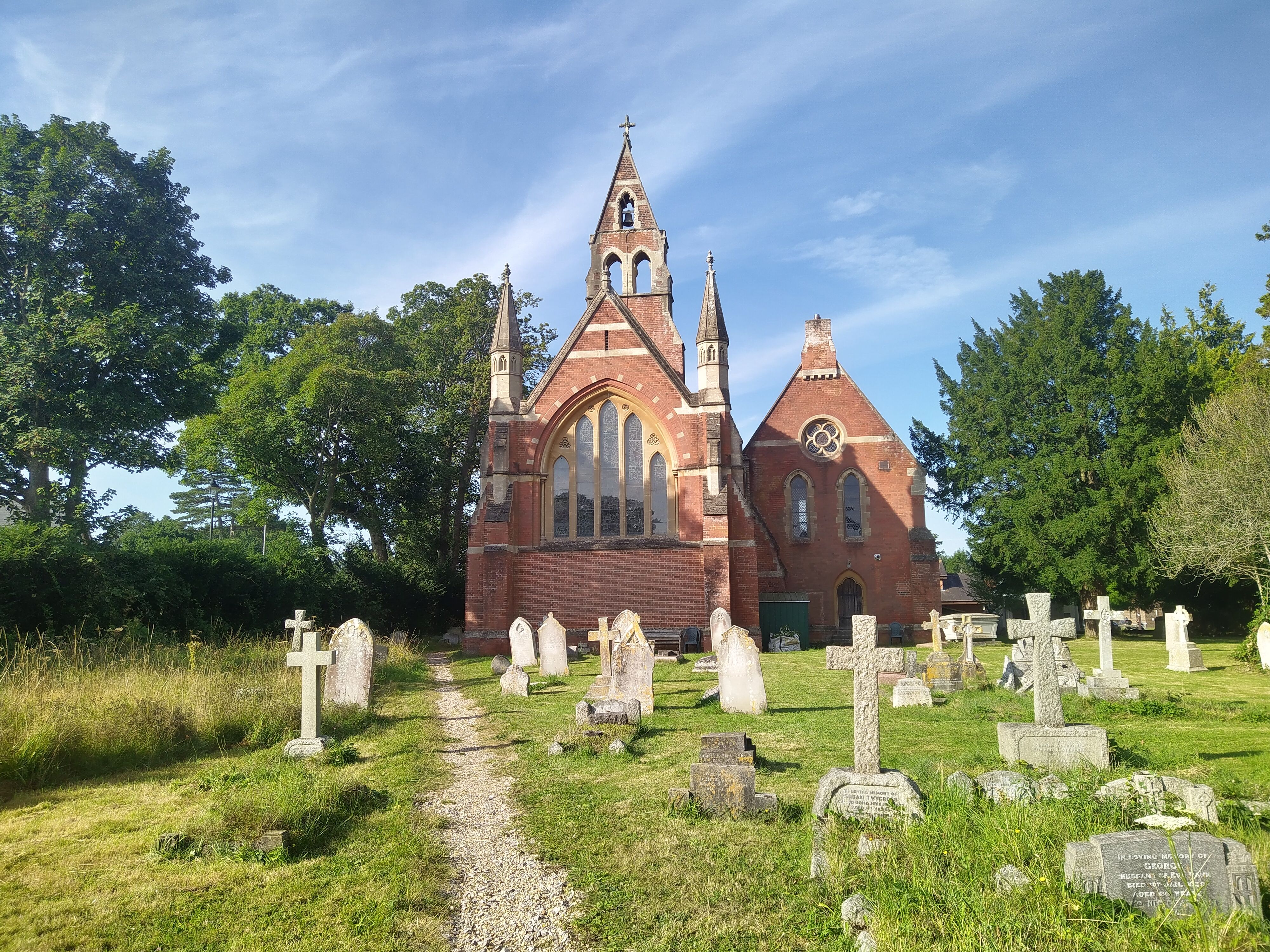
Where is St John the Baptist Churchyard?
St John the Baptist Churchyard is located at New Road Hythe, New Forest District ,Hampshire , SO45 6BPEngland.
-
St John the Baptist Churchyard cemetery's updated grave count on graveviews.com?
0 memorials
-
Where are the coordinates of the St John the Baptist Churchyard?
Latitude: 50.8688500
Longitude: -1.3985000
Nearby Cemetories:
1. All Saints Churchyard
Dibden, New Forest District, England
Coordinate: 50.8753020, -1.4362590
2. St. Julien's Church
Southampton, Southampton Unitary Authority, England
Coordinate: 50.8965000, -1.4036000
3. St Lawrence with St John Churchyard
Southampton, Southampton Unitary Authority, England
Coordinate: 50.8977570, -1.4052470
4. Holy Trinity Churchyard
Southampton, Southampton Unitary Authority, England
Coordinate: 50.8896750, -1.3659150
5. Holyrood Churchyard
Southampton, Southampton Unitary Authority, England
Coordinate: 50.8996600, -1.4035300
6. Holyrood Church
Southampton Unitary Authority, England
Coordinate: 50.8997498, -1.4034560
7. St Michael the Archangel Churchyard
Southampton, Southampton Unitary Authority, England
Coordinate: 50.8996200, -1.4056900
8. All Saints Catacombs and Burial Ground (Defunct)
Southampton, Southampton Unitary Authority, England
Coordinate: 50.9013350, -1.4021500
9. St Mary Churchyard
Southampton, Southampton Unitary Authority, England
Coordinate: 50.9027100, -1.3960800
10. St. Mary Extra Churchyard
Southampton, Southampton Unitary Authority, England
Coordinate: 50.9040000, -1.3743000
11. St Mary Extra Cemetery
Southampton, Southampton Unitary Authority, England
Coordinate: 50.8948700, -1.3522600
12. St Mary Churchyard
Sholing, Southampton Unitary Authority, England
Coordinate: 50.8991260, -1.3571350
13. St John the Apostle Churchyard
Marchwood, New Forest District, England
Coordinate: 50.8900300, -1.4530700
14. Falklands War Memorial
Marchwood, New Forest District, England
Coordinate: 50.8898280, -1.4533250
15. Netley Military Cemetery
Netley, Eastleigh Borough, England
Coordinate: 50.8682632, -1.3317170
16. St Mary the Virgin Churchyard
Hound, Eastleigh Borough, England
Coordinate: 50.8762820, -1.3322160
17. All Saints Churchyard
Fawley, New Forest District, England
Coordinate: 50.8297700, -1.3522200
18. Waterside Methodist Chapelyard
Fawley, New Forest District, England
Coordinate: 50.8245300, -1.3597900
19. Holy Saviour Churchyard
Bitterne, Southampton Unitary Authority, England
Coordinate: 50.9138840, -1.3583560
20. St Andrew the Apostle Churchyard
Hamble-le-Rice, Eastleigh Borough, England
Coordinate: 50.8589100, -1.3179090
21. Southampton Old Cemetery
Southampton, Southampton Unitary Authority, England
Coordinate: 50.9202900, -1.4130650
22. St. Nicholas Churchyard
Millbrook, Southampton Unitary Authority, England
Coordinate: 50.9139100, -1.4439800
23. Blackfield Cemetery
Blackfield, New Forest District, England
Coordinate: 50.8146700, -1.3756600
24. Redcote Convent Cemetery
Bitterne, Southampton Unitary Authority, England
Coordinate: 50.9168600, -1.3510700