
| Memorials | : | 0 |
| Location | : | Biggleswade, Central Bedfordshire Unitary Authority, England |
| Website | : | biggleswadetowncouncil.gov.uk/services/cemeteries/ |
| Coordinate | : | 52.0919432, -0.2474864 |
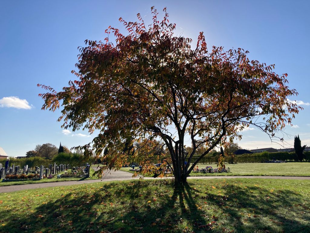
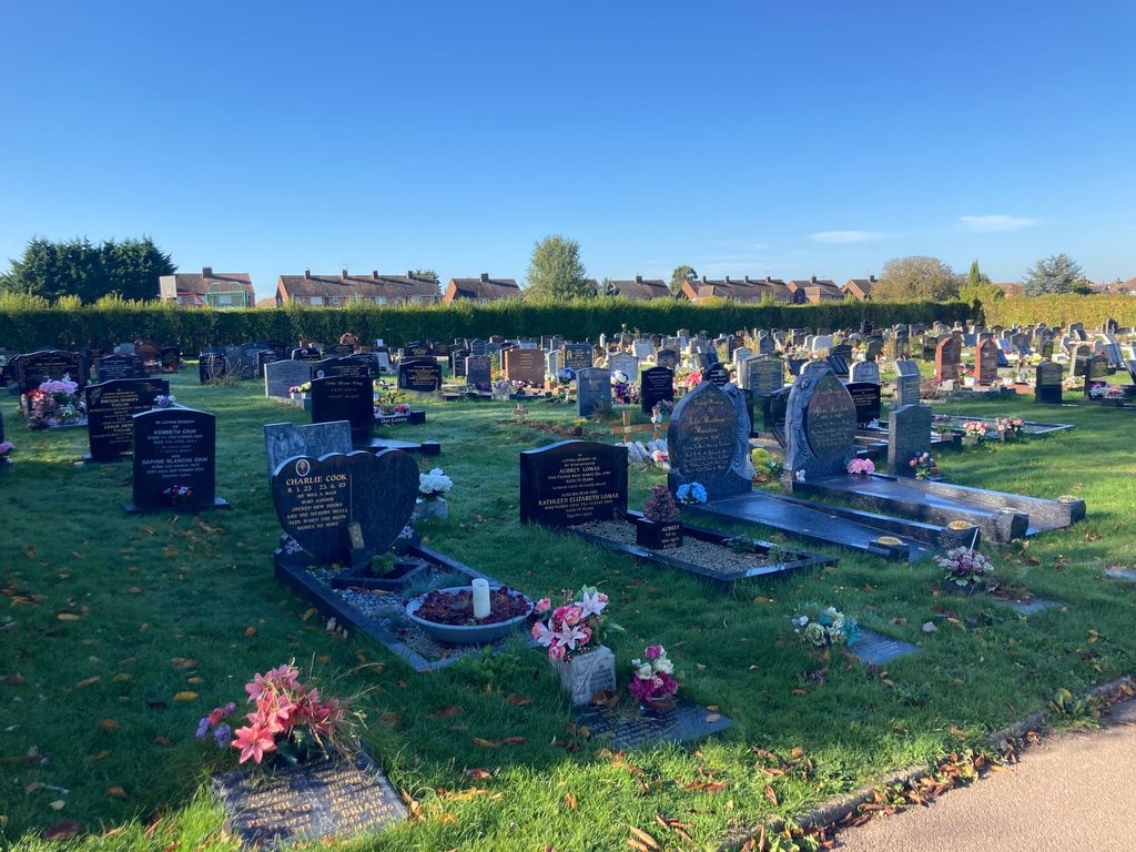
| Description | : | Stratton Way Cemetery is a modern cemetery which is still in use for new burial and ashes interments. It can also be described as an overflow cemetery for the old Drove Road Cemetery which is no longer used. To find this cemetery, it is necessary while travelling on Stratton Way to turn off into a side walk and then head for the Stratton Way - Play Area. |
frequently asked questions (FAQ):
-
Where is Stratton Way Cemetery?
Stratton Way Cemetery is located at Biggleswade, Central Bedfordshire Unitary Authority ,Bedfordshire , SG18England.
-
Stratton Way Cemetery cemetery's updated grave count on graveviews.com?
0 memorials
-
Where are the coordinates of the Stratton Way Cemetery?
Latitude: 52.0919432
Longitude: -0.2474864
Nearby Cemetories:
1. Drove Road Cemetery
Biggleswade, Central Bedfordshire Unitary Authority, England
Coordinate: 52.0895000, -0.2527300
2. St Andrew Churchyard
Biggleswade, Central Bedfordshire Unitary Authority, England
Coordinate: 52.0875360, -0.2666970
3. All Saints Churchyard
Sutton, Central Bedfordshire Unitary Authority, England
Coordinate: 52.1126500, -0.2212200
4. Langford Cemetery
Langford, Central Bedfordshire Unitary Authority, England
Coordinate: 52.0640000, -0.2710830
5. Dunton Cemetery
Dunton, Central Bedfordshire Unitary Authority, England
Coordinate: 52.0820490, -0.1982770
6. St Mary Magdalene Churchyard
Dunton, Central Bedfordshire Unitary Authority, England
Coordinate: 52.0825200, -0.1955600
7. St Andrew Churchyard
Langford, Central Bedfordshire Unitary Authority, England
Coordinate: 52.0583270, -0.2721350
8. Sandy Cemetery
Sandy, Central Bedfordshire Unitary Authority, England
Coordinate: 52.1245500, -0.2783300
9. Potton Baptist Church (Defunct)
Potton, Central Bedfordshire Unitary Authority, England
Coordinate: 52.1242617, -0.2096524
10. St Swithun Churchyard
Sandy, Central Bedfordshire Unitary Authority, England
Coordinate: 52.1273583, -0.2862773
11. All Saints Churchyard
Eyeworth, Central Bedfordshire Unitary Authority, England
Coordinate: 52.0945940, -0.1770800
12. St George Churchyard
Edworth, Central Bedfordshire Unitary Authority, England
Coordinate: 52.0510350, -0.2189810
13. St Mary the Virgin Churchyard
Potton, Central Bedfordshire Unitary Authority, England
Coordinate: 52.1295800, -0.2066700
14. Old Baptist Burial Ground
Sandy, Central Bedfordshire Unitary Authority, England
Coordinate: 52.1299590, -0.2884590
15. St Mary the Virgin Churchyard
Northill, Central Bedfordshire Unitary Authority, England
Coordinate: 52.1053300, -0.3239650
16. St Nicholas Churchyard
Hinxworth, North Hertfordshire District, England
Coordinate: 52.0476210, -0.1970460
17. All Saints Churchyard
Southill, Central Bedfordshire Unitary Authority, England
Coordinate: 52.0666240, -0.3298690
18. St. Leonard's Churchyard
Old Warden, Central Bedfordshire Unitary Authority, England
Coordinate: 52.0855860, -0.3424550
19. St Mary Churchyard
Henlow, Central Bedfordshire Unitary Authority, England
Coordinate: 52.0348580, -0.2834610
20. All Saints New Churchyard
Clifton, Central Bedfordshire Unitary Authority, England
Coordinate: 52.0403500, -0.3018700
21. Clifton Baptist Chapelyard
Clifton, Central Bedfordshire Unitary Authority, England
Coordinate: 52.0398940, -0.3025180
22. All Saints Churchyard
Clifton, Central Bedfordshire Unitary Authority, England
Coordinate: 52.0393990, -0.3015550
23. St John the Baptist Churchyard
Cockayne Hatley, Central Bedfordshire Unitary Authority, England
Coordinate: 52.1308660, -0.1663740
24. Clifton Friends Burial Ground
Clifton, Central Bedfordshire Unitary Authority, England
Coordinate: 52.0378800, -0.3033100