
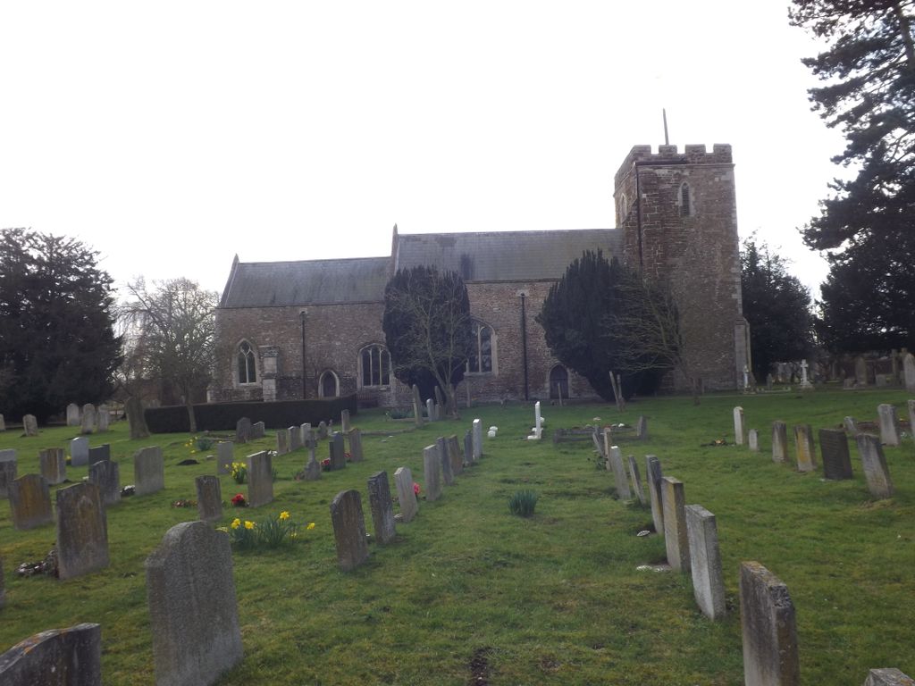
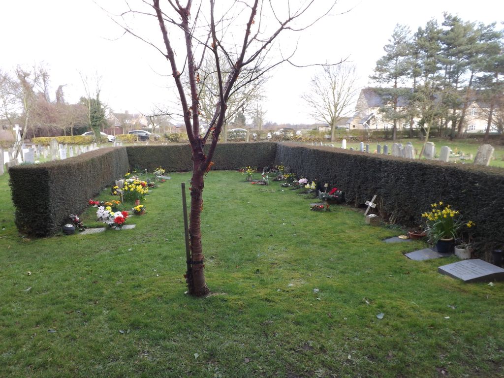
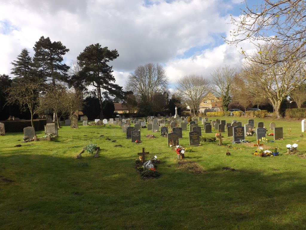
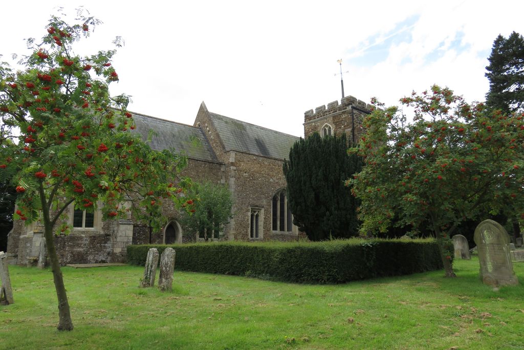
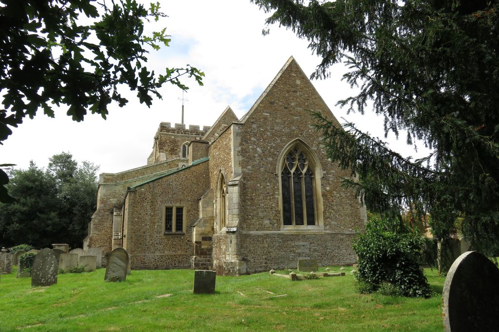
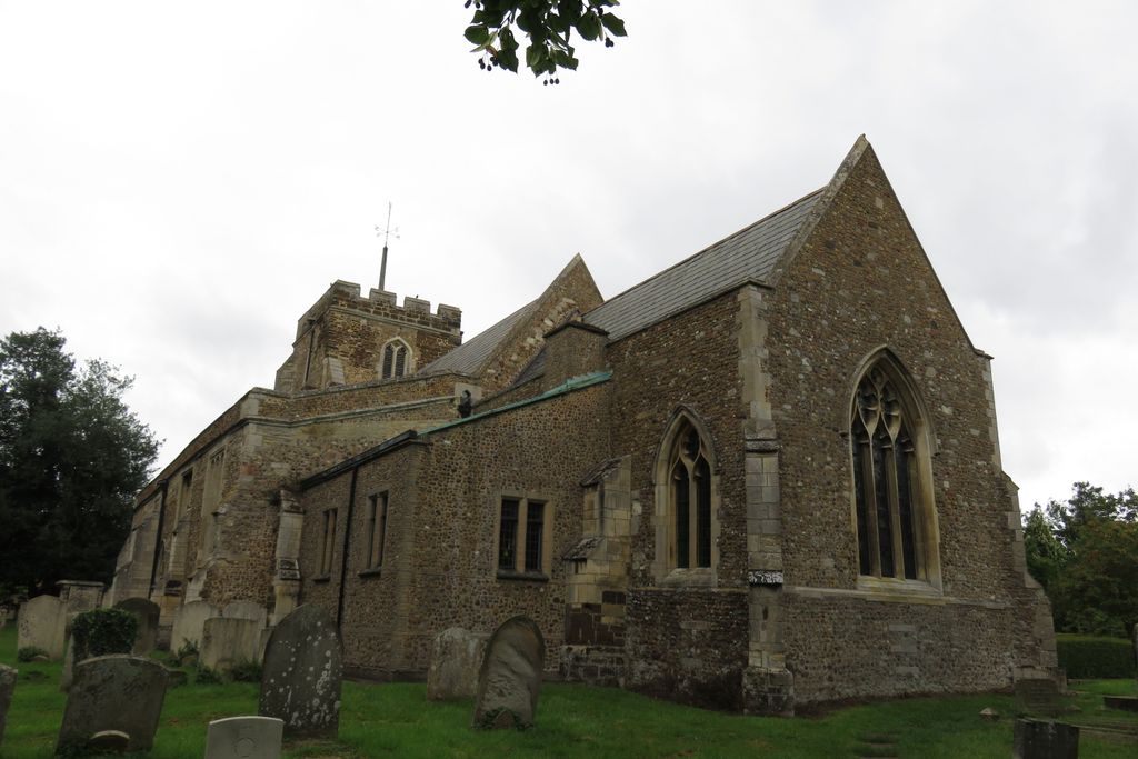
| Memorials | : | 0 |
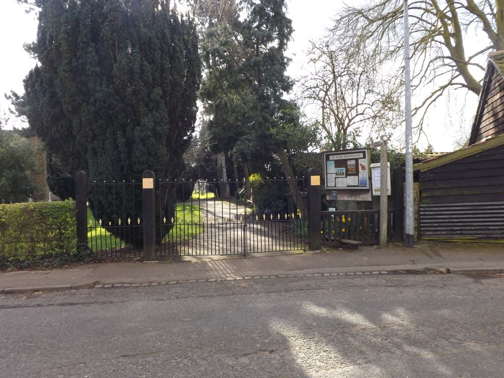
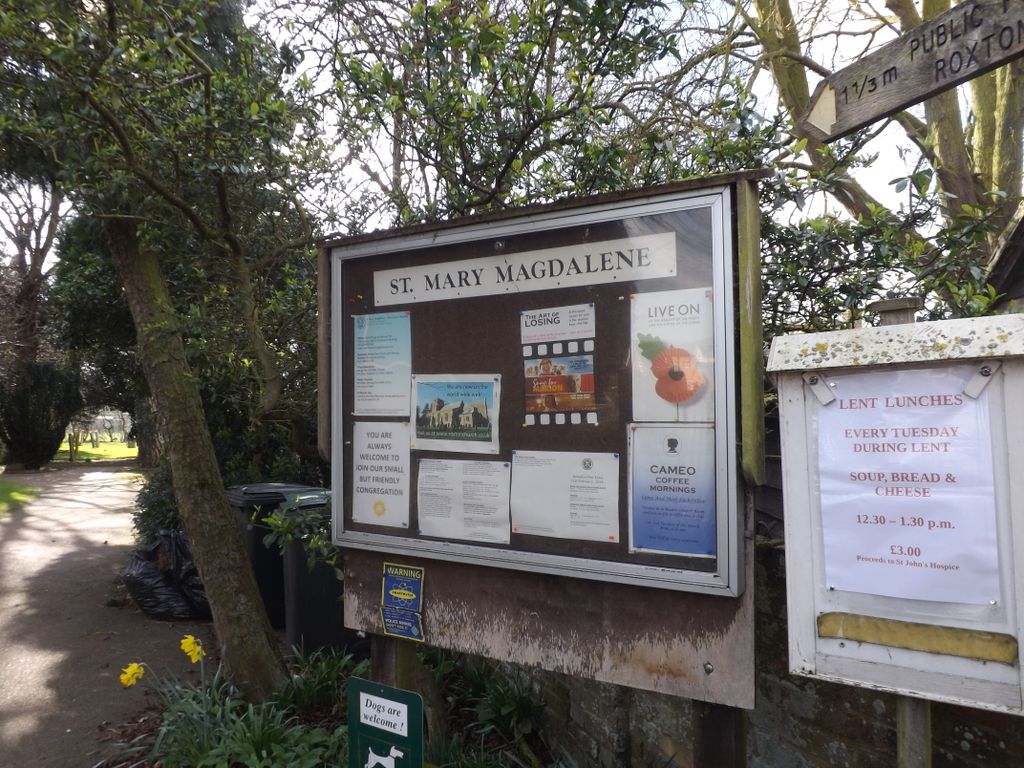
| Location | : | Roxton, Bedford Borough, England |
| Coordinate | : | 52.1769310, -0.3146280 |
frequently asked questions (FAQ):
-
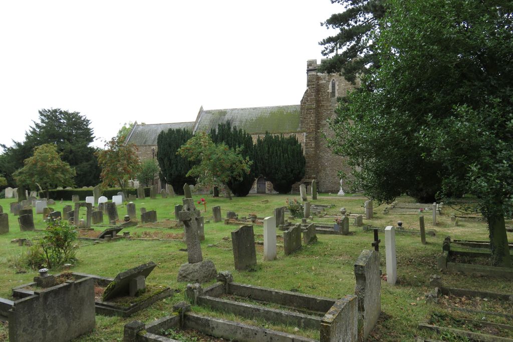
Where is St. Mary Magdalene Churchyard?
St. Mary Magdalene Churchyard is located at Roxton, Bedford Borough ,Bedfordshire ,England.
-
St. Mary Magdalene Churchyard cemetery's updated grave count on graveviews.com?
0 memorials
-
Where are the coordinates of the St. Mary Magdalene Churchyard?
Latitude: 52.1769310
Longitude: -0.3146280
Nearby Cemetories:
1. Tempsford Village Cemetery
Tempsford, Central Bedfordshire Unitary Authority, England
Coordinate: 52.1639000, -0.3024500
2. St Deny's Churchyard
Little Barford, Bedford Borough, England
Coordinate: 52.1982210, -0.2785350
3. All Saints Churchyard
Great Barford, Bedford Borough, England
Coordinate: 52.1520280, -0.3439850
4. St Mary Churchyard
Eaton Socon, Huntingdonshire District, England
Coordinate: 52.2156190, -0.2882830
5. St. John the Evangelist Churchyard
Mogerhanger, Central Bedfordshire Unitary Authority, England
Coordinate: 52.1305000, -0.3325000
6. Old Baptist Burial Ground
Sandy, Central Bedfordshire Unitary Authority, England
Coordinate: 52.1299590, -0.2884590
7. St Swithun Churchyard
Sandy, Central Bedfordshire Unitary Authority, England
Coordinate: 52.1273583, -0.2862773
8. St. Nicholas Churchyard
Wilden, Bedford Borough, England
Coordinate: 52.1845000, -0.4011000
9. St. Denys Churchyard
Colmworth, Bedford Borough, England
Coordinate: 52.2143200, -0.3785620
10. Eynesbury Old Cemetery
Huntingdonshire District, England
Coordinate: 52.2243800, -0.2705300
11. Sandy Cemetery
Sandy, Central Bedfordshire Unitary Authority, England
Coordinate: 52.1245500, -0.2783300
12. St. Neots Cemetery
St Neots, Huntingdonshire District, England
Coordinate: 52.2253680, -0.2641010
13. Parish Church of St. Mary the Virgin
St Neots, Huntingdonshire District, England
Coordinate: 52.2268700, -0.2671700
14. St. Neots Priory
St Neots, Huntingdonshire District, England
Coordinate: 52.2281710, -0.2705280
15. St. Lawrence's Churchyard
Willington, Bedford Borough, England
Coordinate: 52.1362631, -0.3847213
16. New Street Baptist Church St Neots
St Neots, Huntingdonshire District, England
Coordinate: 52.2290700, -0.2686400
17. All Saints Churchyard
Renhold, Bedford Borough, England
Coordinate: 52.1632000, -0.4095000
18. Bedford Cemetery and Crematorium
Renhold, Bedford Borough, England
Coordinate: 52.1541530, -0.4123510
19. Bushmead Priory
Bushmead, Bedford Borough, England
Coordinate: 52.2336110, -0.3675000
20. All Saints Churchyard
Ravensden, Bedford Borough, England
Coordinate: 52.1766273, -0.4252580
21. St Nicholas Churchyard
Hail Weston, Huntingdonshire District, England
Coordinate: 52.2447100, -0.2945500
22. All Saints Churchyard
Cople, Bedford Borough, England
Coordinate: 52.1235000, -0.3899000
23. Cople Cemetery
Cople, Bedford Borough, England
Coordinate: 52.1227395, -0.3910262
24. St Mary the Virgin Churchyard
Northill, Central Bedfordshire Unitary Authority, England
Coordinate: 52.1053300, -0.3239650