
| Memorials | : | 359 |
| Location | : | Slimbridge, Stroud District, England |
| Coordinate | : | 51.7302510, -2.3773070 |
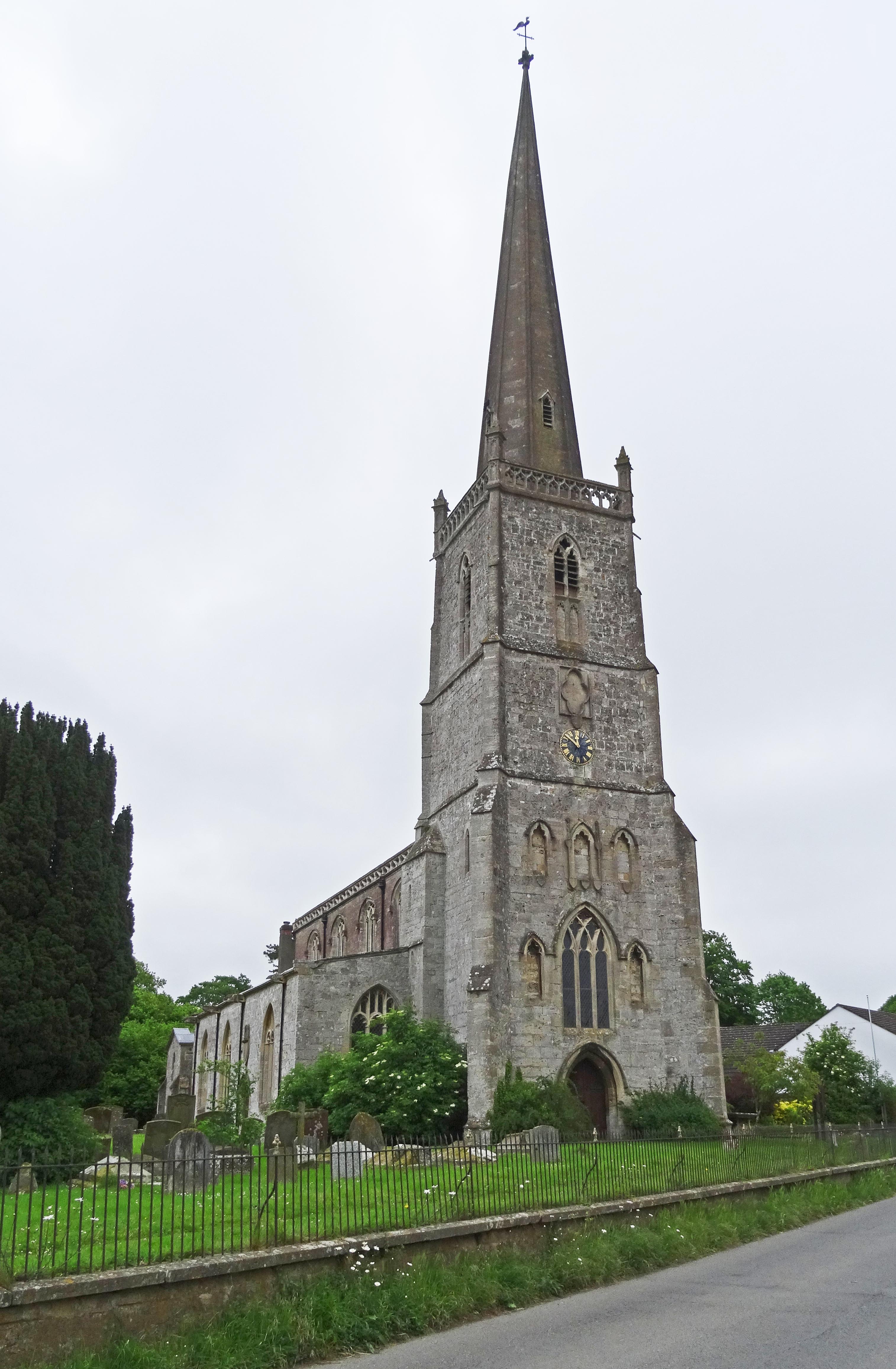
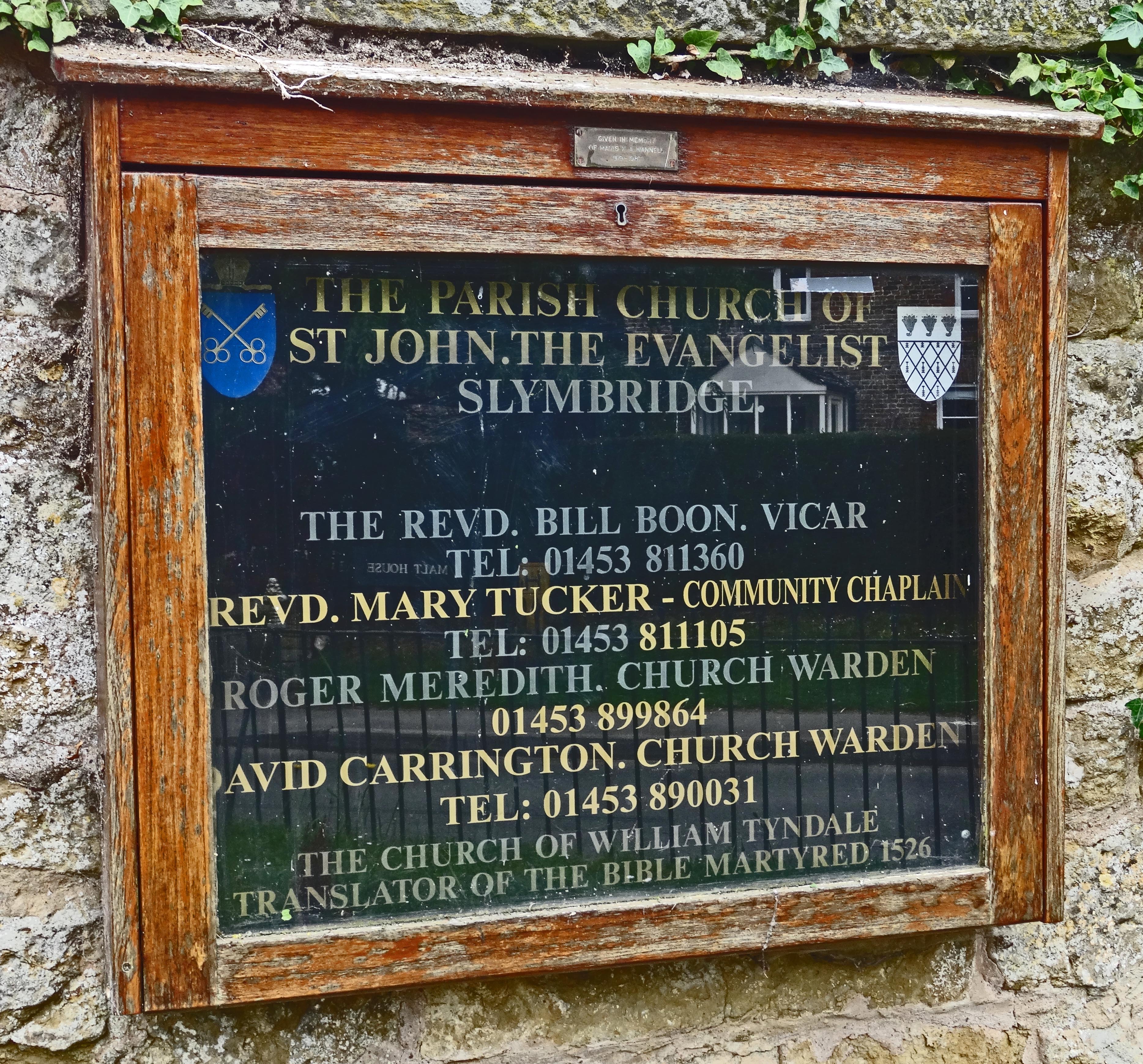
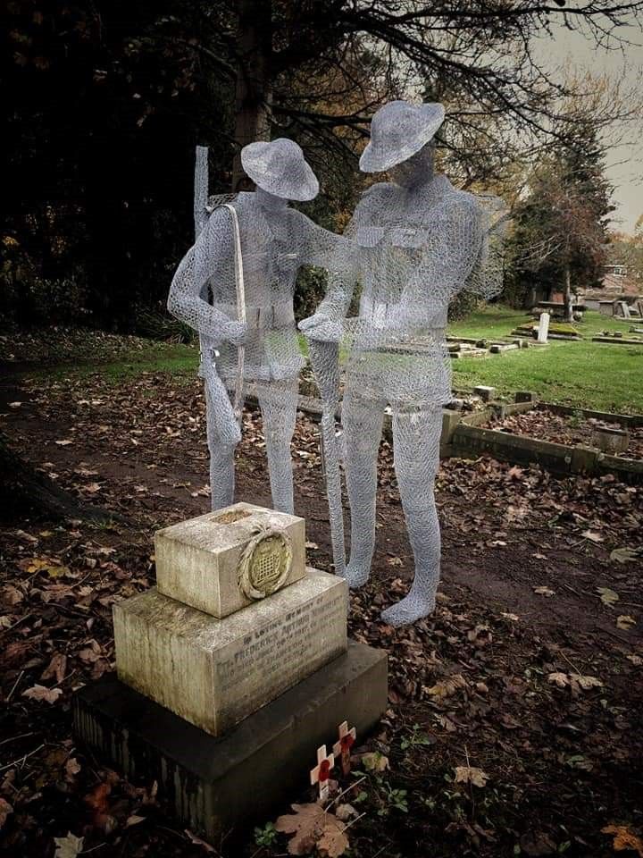
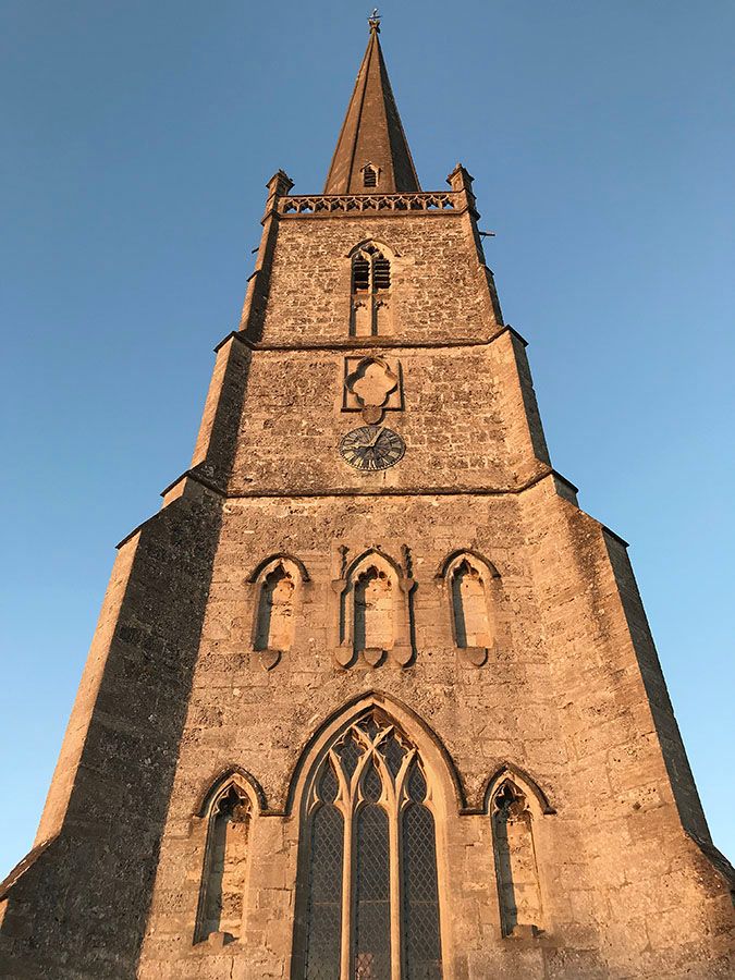
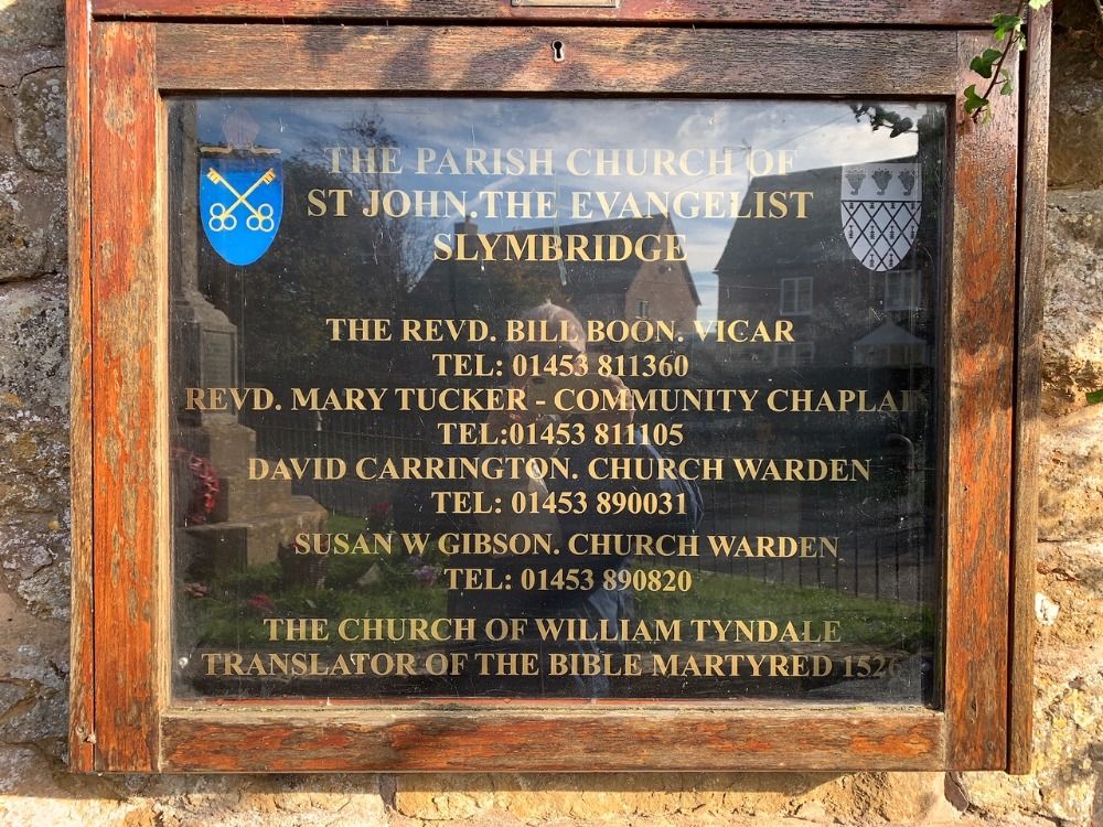
| Description | : | The village church of St John the Evangelist dates from the early 13th century and is a grade I listed building. |
frequently asked questions (FAQ):
-
Where is St. John the Evangelist Churchyard?
St. John the Evangelist Churchyard is located at Slimbridge, Stroud District ,Gloucestershire ,England.
-
St. John the Evangelist Churchyard cemetery's updated grave count on graveviews.com?
359 memorials
-
Where are the coordinates of the St. John the Evangelist Churchyard?
Latitude: 51.7302510
Longitude: -2.3773070

Nearby Cemetories:
1. St Peters Churchyard
Frocester, Stroud District, England
Coordinate: 51.7277690, -2.3329860
2. St. Bartholomew's Churchyard
Dursley, Stroud District, England
Coordinate: 51.7012900, -2.3653000
3. St Mary Churchyard
Frampton-on-Severn, Stroud District, England
Coordinate: 51.7605650, -2.3730980
4. The Quarry United Reformed Church
Cam, Stroud District, England
Coordinate: 51.6968858, -2.3789270
5. Saint Andrew's Churchyard
Frocester, Stroud District, England
Coordinate: 51.7273322, -2.3129734
6. St. George Churchyard
Cam, Stroud District, England
Coordinate: 51.6923120, -2.3524570
7. Cam Congregational Church
Cam, Stroud District, England
Coordinate: 51.6914518, -2.3530424
8. Dursley Town Cemetery
Dursley, Stroud District, England
Coordinate: 51.6893700, -2.3623400
9. St. Michael and All Angels Churchyard
Eastington, Stroud District, England
Coordinate: 51.7501680, -2.3161330
10. St. Cyr's Churchyard
Stinchcombe, Stroud District, England
Coordinate: 51.6881090, -2.3927490
11. Dursley Tabernacle URC
Dursley, Stroud District, England
Coordinate: 51.6823727, -2.3571669
12. St Mary the Virgin Churchyard
Fretherne, Stroud District, England
Coordinate: 51.7804140, -2.3873960
13. St James the Great Church
Dursley, Stroud District, England
Coordinate: 51.6812840, -2.3530000
14. St Andrews Churchyard
Whitminster, Stroud District, England
Coordinate: 51.7798400, -2.3487000
15. St James the Great Churchyard
Saul, Stroud District, England
Coordinate: 51.7830000, -2.3548500
16. St. Cyr Churchyard
Stonehouse, Stroud District, England
Coordinate: 51.7433750, -2.2917980
17. St Marks Churchyard
Dursley, Stroud District, England
Coordinate: 51.6777900, -2.3499800
18. Berkeley Cemetery
Berkeley, Stroud District, England
Coordinate: 51.6946845, -2.4601617
19. St. Peter's Church
Stroud District, England
Coordinate: 51.7927144, -2.3752327
20. St George's Churchyard
Kings Stanley, Stroud District, England
Coordinate: 51.7352650, -2.2765210
21. St Giles Churchyard
Uley, Stroud District, England
Coordinate: 51.6853115, -2.3038214
22. St. Mary the Virgin Churchyard
Berkeley, Stroud District, England
Coordinate: 51.6890940, -2.4576150
23. St. Stephen's Churchyard
Moreton Valence, Stroud District, England
Coordinate: 51.7857492, -2.3208765
24. St Martin Churchyard
North Nibley, Stroud District, England
Coordinate: 51.6629860, -2.3836650