
| Memorials | : | 0 |
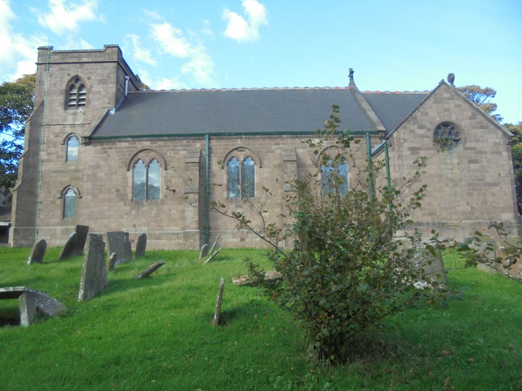
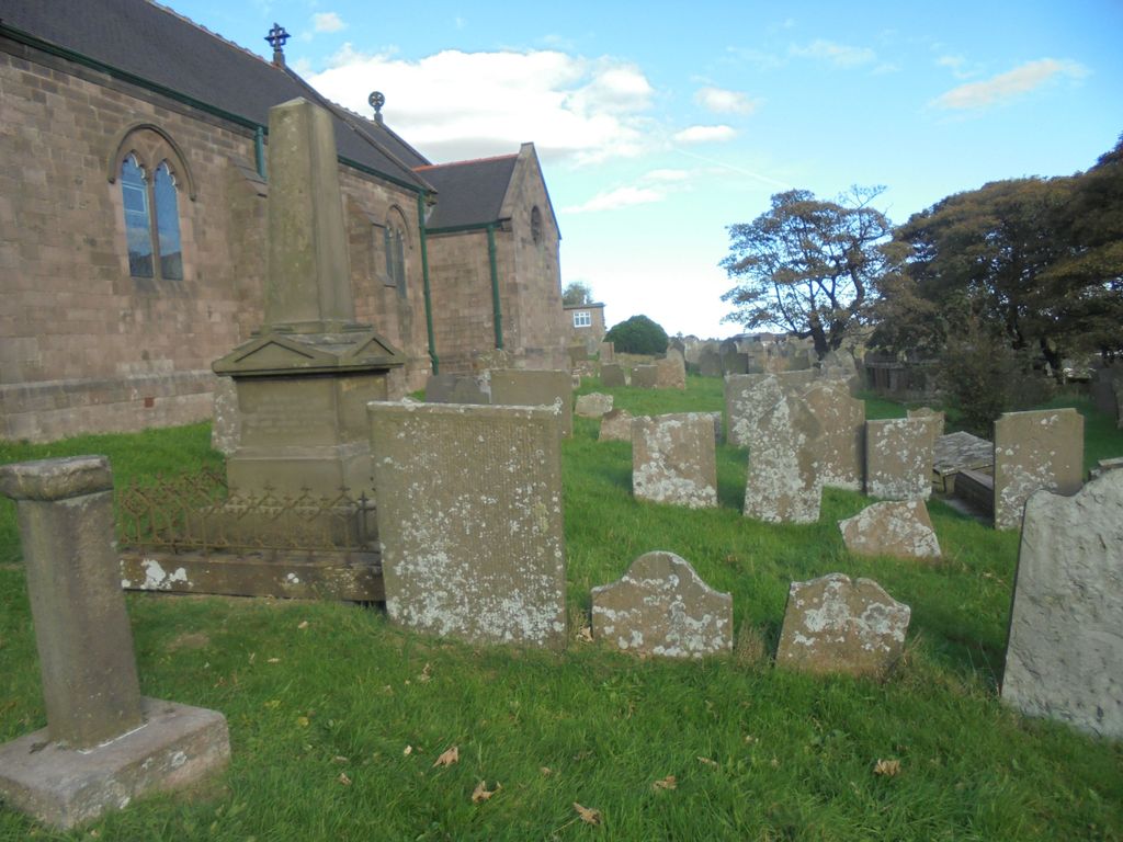
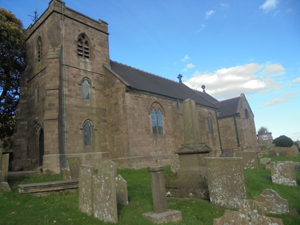
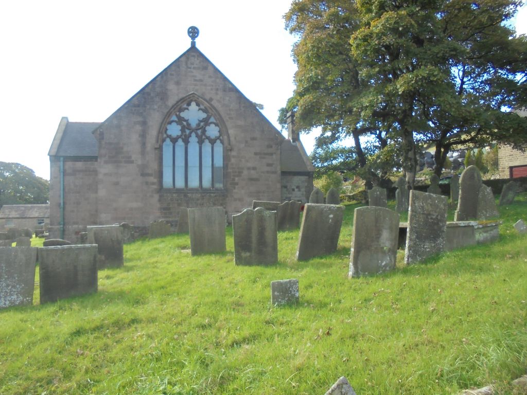
| Location | : | Quarnford, Staffordshire Moorlands District, England |
| Coordinate | : | 53.2018260, -1.9628630 |
frequently asked questions (FAQ):
-
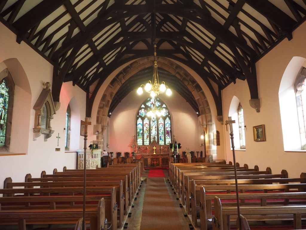
Where is St. Paul's Churchyard?
St. Paul's Churchyard is located at Quarnford, Staffordshire Moorlands District ,Staffordshire ,England.
-
St. Paul's Churchyard cemetery's updated grave count on graveviews.com?
0 memorials
-
Where are the coordinates of the St. Paul's Churchyard?
Latitude: 53.2018260
Longitude: -1.9628630
Nearby Cemetories:
1. St. Saviour Churchyard
Wildboarclough, Cheshire East Unitary Authority, England
Coordinate: 53.2161170, -2.0254580
2. St James Churchyard
Harpur Hill, High Peak Borough, England
Coordinate: 53.2374840, -1.9069170
3. Harpur Hill Methodist Churchyard
Buxton, High Peak Borough, England
Coordinate: 53.2369210, -1.9053100
4. Christ Church Churchyard
Burbage, High Peak Borough, England
Coordinate: 53.2528840, -1.9357390
5. Buxton Cemetery
Buxton, High Peak Borough, England
Coordinate: 53.2446830, -1.9013910
6. St. Michael and All Angels Churchyard
Earl Sterndale, Derbyshire Dales District, England
Coordinate: 53.2006470, -1.8657430
7. Church of St. Anne
Buxton, High Peak Borough, England
Coordinate: 53.2538256, -1.9157350
8. St. Bartholomew Churchyard
Longnor, Staffordshire Moorlands District, England
Coordinate: 53.1818800, -1.8686700
9. St. Michael's Churchyard
Wincle, Cheshire East Unitary Authority, England
Coordinate: 53.1933190, -2.0620740
10. St John the Baptist Churchyard
Buxton, High Peak Borough, England
Coordinate: 53.2589380, -1.9172770
11. St . Stephen's Church Forest Chapel
Macclesfield Forest, Cheshire East Unitary Authority, England
Coordinate: 53.2462260, -2.0399720
12. St. Matthew's Churchyard
Meerbrook, Staffordshire Moorlands District, England
Coordinate: 53.1446350, -2.0177810
13. St Peter's Churchyard
Fairfield, High Peak Borough, England
Coordinate: 53.2642220, -1.9012830
14. Christ Churchyard
Kings Sterndale, High Peak Borough, England
Coordinate: 53.2421800, -1.8617860
15. St. John the Baptist Churchyard
Chelmorton, Derbyshire Dales District, England
Coordinate: 53.2292770, -1.8283570
16. Buxton Road Cemetery
Leek, Staffordshire Moorlands District, England
Coordinate: 53.1154780, -2.0029690
17. St. John the Evangelist Churchyard
Cheshire East Unitary Authority, England
Coordinate: 53.2862960, -2.0256440
18. St James Churchyard
Sutton (Macclesfield), Cheshire East Unitary Authority, England
Coordinate: 53.2378520, -2.1063910
19. St. Luke's Churchyard
Sheen, High Peak Borough, England
Coordinate: 53.1504980, -1.8321300
20. St Lawrence Churchyard
Rushton Spencer, Staffordshire Moorlands District, England
Coordinate: 53.1556630, -2.0996440
21. St. Lawrence Churchyard
Warslow, Staffordshire Moorlands District, England
Coordinate: 53.1248380, -1.8723470
22. St. Mary the Virgin Churchyard
Bosley, Cheshire East Unitary Authority, England
Coordinate: 53.1871110, -2.1241630
23. Brunswick Wesleyan Methodist Chapel Chapelyard
Sutton (Macclesfield), Cheshire East Unitary Authority, England
Coordinate: 53.2359570, -2.1213260
24. St Luke Churchyard
Leek, Staffordshire Moorlands District, England
Coordinate: 53.1061400, -2.0191430