
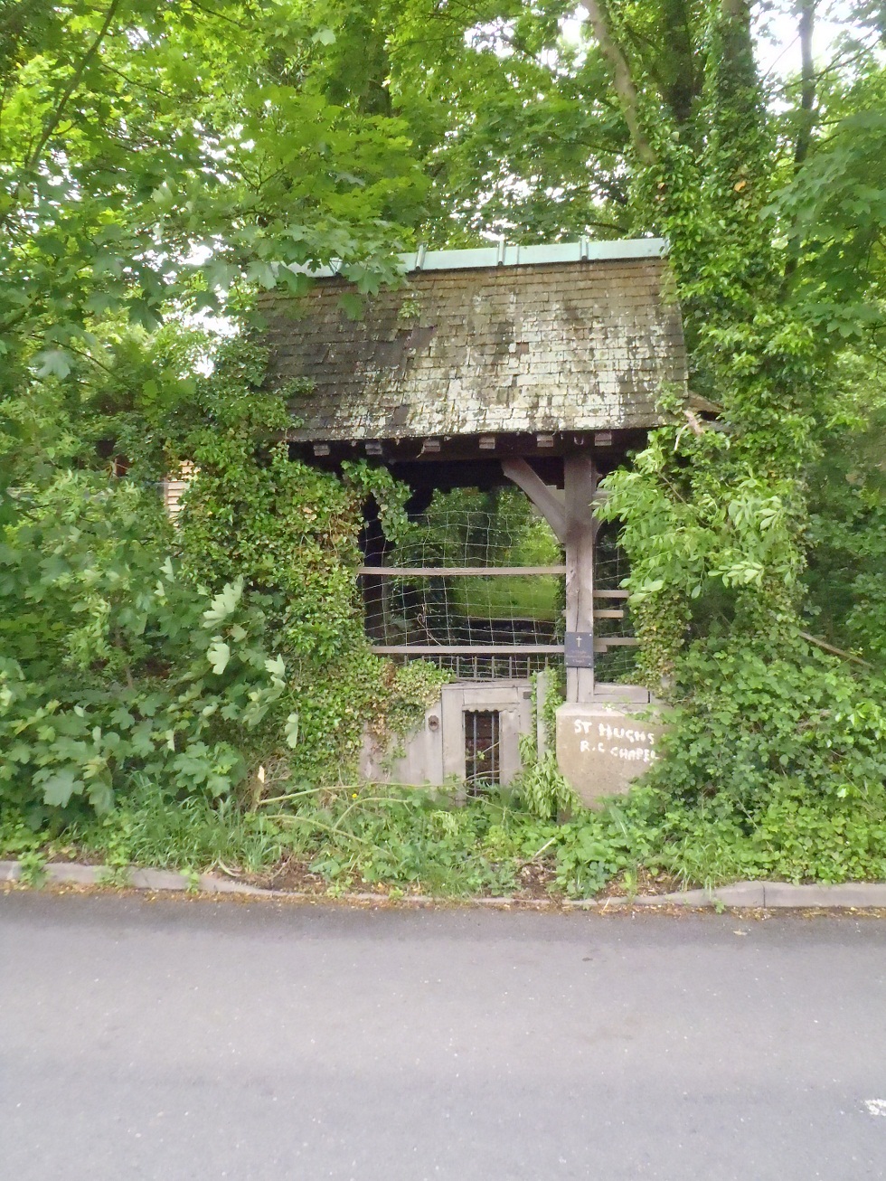
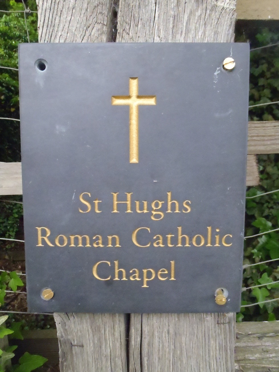
| Memorials | : | 0 |
| Location | : | Buntingford, East Hertfordshire District, England |
| Coordinate | : | 51.9492640, 0.0221120 |
frequently asked questions (FAQ):
-
Where is Hare Street Benson Grounds?
Hare Street Benson Grounds is located at Buntingford, East Hertfordshire District ,Hertfordshire ,England.
-
Hare Street Benson Grounds cemetery's updated grave count on graveviews.com?
0 memorials
-
Where are the coordinates of the Hare Street Benson Grounds?
Latitude: 51.9492640
Longitude: 0.0221120
Nearby Cemetories:
1. Great Hormead St Nicholas Churchyard
Hormead, East Hertfordshire District, England
Coordinate: 51.9469500, 0.0353300
2. Little Hormead St Mary Churchyard
Hormead, East Hertfordshire District, England
Coordinate: 51.9428430, 0.0331630
3. St Bartholomew's Church Churchyard
Buntingford, East Hertfordshire District, England
Coordinate: 51.9525530, -0.0089720
4. St Giles Churchyard
Wyddial, East Hertfordshire District, England
Coordinate: 51.9673270, -0.0010730
5. St. Mary the Virgin-Westmill
St Albans, St Albans District, England
Coordinate: 51.9262000, -0.0098000
6. St George Churchyard
Anstey, East Hertfordshire District, England
Coordinate: 51.9766990, 0.0431300
7. St Mary the Virgin Churchyard
Furneux Pelham, East Hertfordshire District, England
Coordinate: 51.9316710, 0.0808950
8. St Mary the Virgin Churchyard
Braughing, East Hertfordshire District, England
Coordinate: 51.9078420, 0.0282310
9. St Andrew Churchyard
Buckland, East Hertfordshire District, England
Coordinate: 51.9866510, -0.0230880
10. Holy Trinity Churchyard
Buntingford, East Hertfordshire District, England
Coordinate: 51.9540854, -0.0541753
11. Saint Mary Churchyard
Meesden, East Hertfordshire District, England
Coordinate: 51.9728000, 0.0934270
12. St Mary Magdalene Churchyard
Barkway, North Hertfordshire District, England
Coordinate: 52.0015793, 0.0129600
13. Barkway Chapel Cemetery
Barkway, North Hertfordshire District, England
Coordinate: 52.0047910, 0.0151040
14. St Mary Churchyard
Reed, North Hertfordshire District, England
Coordinate: 52.0034714, -0.0183250
15. St. Nicholas' Churchyard
Great Munden, East Hertfordshire District, England
Coordinate: 51.8996010, -0.0316180
16. Puckeridge Chapel
Northchurch, Dacorum Borough, England
Coordinate: 51.8890720, 0.0106480
17. St Mary's Churchyard
Albury, East Hertfordshire District, England
Coordinate: 51.9026500, 0.0852920
18. St John the Baptist Churchyard
Cottered, East Hertfordshire District, England
Coordinate: 51.9458000, -0.0846000
19. St. John The Evangelist Churchyard
Langley, Uttlesford District, England
Coordinate: 51.9969356, 0.0995640
20. St. Mary's Churchyard
Standon, East Hertfordshire District, England
Coordinate: 51.8813515, 0.0273820
21. St Nicholas Churchyard
Little Chishill, South Cambridgeshire District, England
Coordinate: 52.0154690, 0.0654890
22. St Edmund of Canterbury and the English Martyrs
Old Hall Green, East Hertfordshire District, England
Coordinate: 51.8799220, -0.0110510
23. Ss Mary and Clement Churchyard
Clavering, Uttlesford District, England
Coordinate: 51.9653720, 0.1393760
24. All Saints Churchyard
Sandon, North Hertfordshire District, England
Coordinate: 51.9934160, -0.0756170