
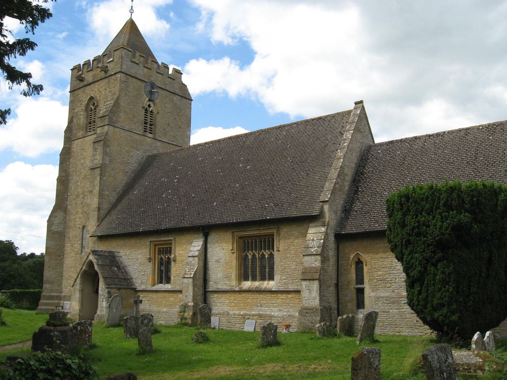
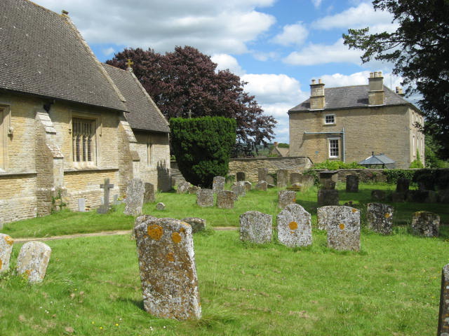
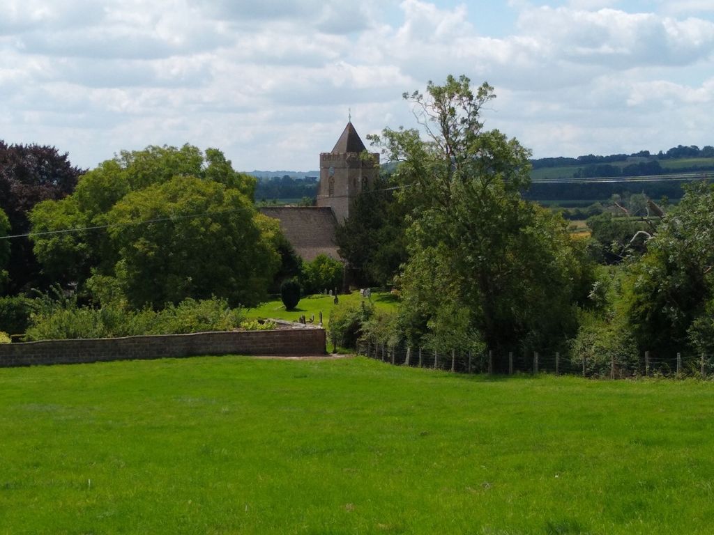
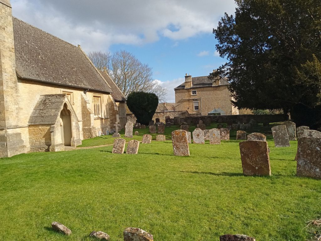
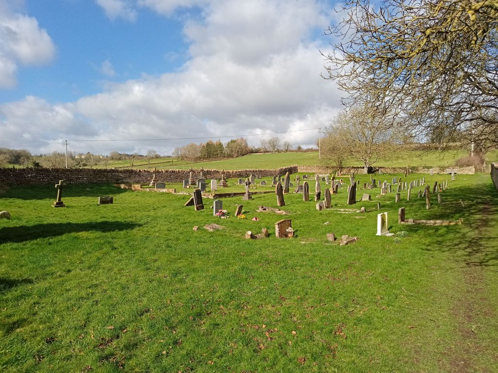
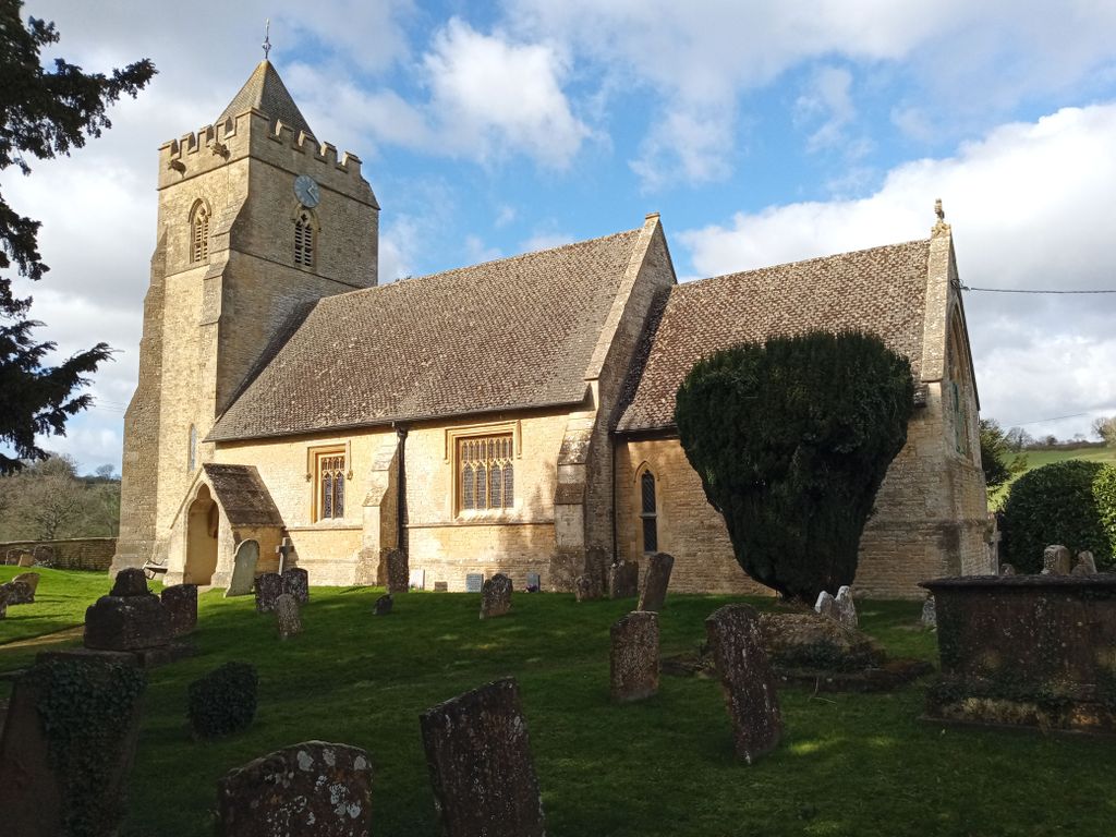
| Memorials | : | 49 |
| Location | : | Salford, West Oxfordshire District, England |
| Coordinate | : | 51.9505810, -1.5844700 |
frequently asked questions (FAQ):
-
Where is St. Mary's Churchyard?
St. Mary's Churchyard is located at Salford, West Oxfordshire District ,Oxfordshire ,England.
-
St. Mary's Churchyard cemetery's updated grave count on graveviews.com?
49 memorials
-
Where are the coordinates of the St. Mary's Churchyard?
Latitude: 51.9505810
Longitude: -1.5844700
Nearby Cemetories:
1. St Peter's Church
Cornwell, West Oxfordshire District, England
Coordinate: 51.9418660, -1.6062440
2. St. Philip Church
Little Rollright, West Oxfordshire District, England
Coordinate: 51.9688330, -1.5742230
3. Chipping Norton Cemetery
Chipping Norton, West Oxfordshire District, England
Coordinate: 51.9414200, -1.5555900
4. Friends Burial Ground
Chipping Norton, West Oxfordshire District, England
Coordinate: 51.9415950, -1.5498310
5. St. Mary the Virgin Churchyard
Chipping Norton, West Oxfordshire District, England
Coordinate: 51.9434900, -1.5476200
6. Holy Trinity Catholic Churchyard
Chipping Norton, West Oxfordshire District, England
Coordinate: 51.9439300, -1.5388200
7. St. Mary the Virgin Churchyard
Chastleton, West Oxfordshire District, England
Coordinate: 51.9595360, -1.6395330
8. All Saints Churchyard
Churchill, West Oxfordshire District, England
Coordinate: 51.9146590, -1.5898010
9. St Peter Churchyard
Daylesford, Cotswold District, England
Coordinate: 51.9310080, -1.6479680
10. Saint Peter and St Paul Churchyard
Long Compton, Stratford-on-Avon District, England
Coordinate: 51.9949740, -1.5823690
11. St James' Church
Sarsden, West Oxfordshire District, England
Coordinate: 51.9048470, -1.5806760
12. St Andrew's Churchyard
Kingham, West Oxfordshire District, England
Coordinate: 51.9113760, -1.6255990
13. Great Rollright St Andrews Churchyard
Rollright, West Oxfordshire District, England
Coordinate: 51.9809290, -1.5255550
14. St Lawrence's Church
Barton-on-the-Heath, Stratford-on-Avon District, England
Coordinate: 51.9918300, -1.6272375
15. St Nicholas Churchyard
Oddington, Cotswold District, England
Coordinate: 51.9278340, -1.6597080
16. Old St. Nicholas Churchyard
Heythrop, West Oxfordshire District, England
Coordinate: 51.9468000, -1.4889600
17. St. Michael's
Whichford, Stratford-on-Avon District, England
Coordinate: 52.0094910, -1.5467784
18. St Michael and All Angels Church
Great Wolford, Stratford-on-Avon District, England
Coordinate: 52.0091000, -1.6367450
19. St. Nicholas Church
Chadlington, West Oxfordshire District, England
Coordinate: 51.8959090, -1.5160180
20. Hook Norton Baptist Burial Ground
Hook Norton, Cherwell District, England
Coordinate: 51.9953000, -1.4860900
21. St Peters Churchyard
Hook Norton, Cherwell District, England
Coordinate: 51.9954200, -1.4842490
22. Saint John The Baptist Churchyard
Cherington, Stratford-on-Avon District, England
Coordinate: 52.0271460, -1.5762520
23. St Paul Churchyard
Broadwell, Cotswold District, England
Coordinate: 51.9476200, -1.7095100
24. Hook Norton Cemetery
Hook Norton, Cherwell District, England
Coordinate: 51.9969440, -1.4787690