
| Memorials | : | 2 |
| Location | : | Heythrop, West Oxfordshire District, England |
| Coordinate | : | 51.9468000, -1.4889600 |
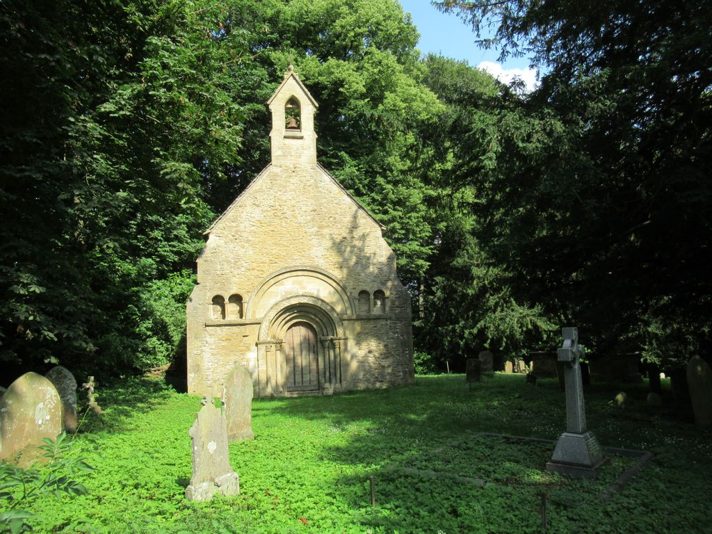
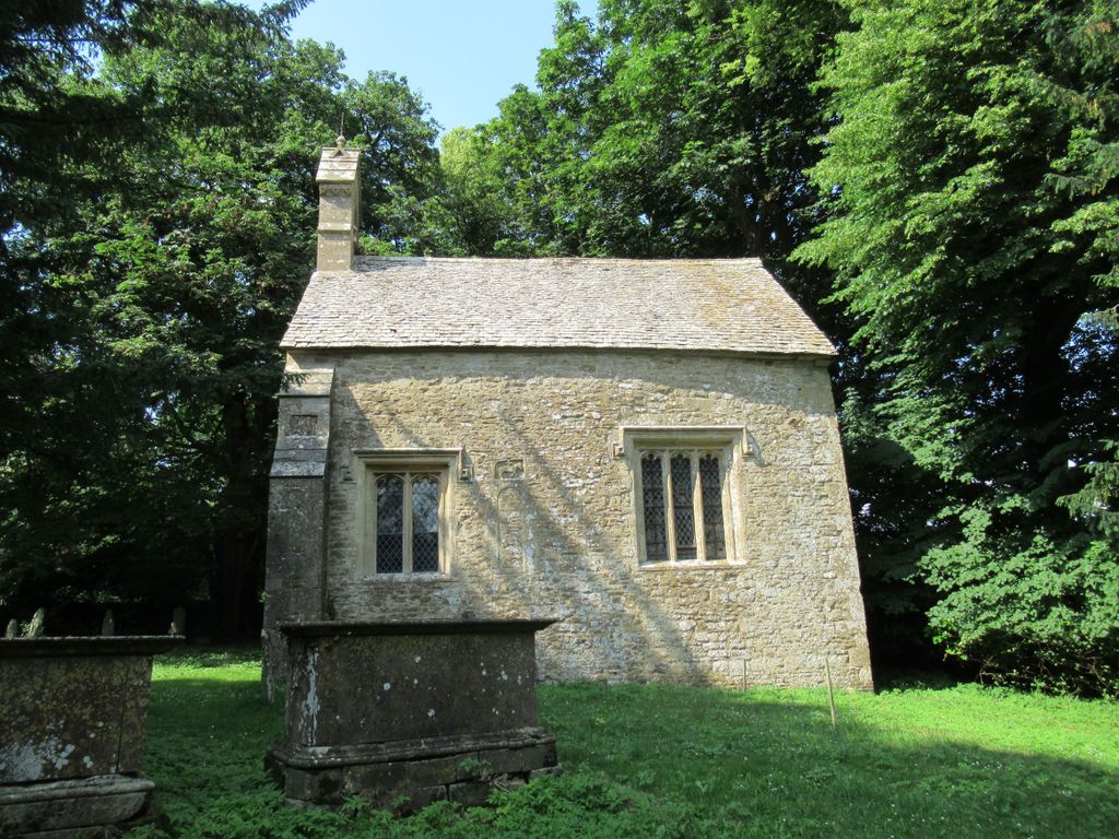
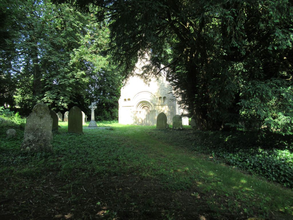
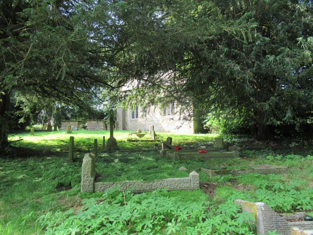
| Description | : | After 1881 the chancel of the former parish church of St Nicholas was retained for use as a mortuary chapel. |
frequently asked questions (FAQ):
-
Where is Old St. Nicholas Churchyard?
Old St. Nicholas Churchyard is located at Heythrop, West Oxfordshire District ,Oxfordshire ,England.
-
Old St. Nicholas Churchyard cemetery's updated grave count on graveviews.com?
1 memorials
-
Where are the coordinates of the Old St. Nicholas Churchyard?
Latitude: 51.9468000
Longitude: -1.4889600
Nearby Cemetories:
1. St Johns Churchyard
Little Tew, West Oxfordshire District, England
Coordinate: 51.9540390, -1.4419230
2. Holy Trinity Catholic Churchyard
Chipping Norton, West Oxfordshire District, England
Coordinate: 51.9439300, -1.5388200
3. St Kenelm's Churchyard Extension
Enstone, West Oxfordshire District, England
Coordinate: 51.9240960, -1.4484250
4. St. Kenelms Churchyard
Enstone, West Oxfordshire District, England
Coordinate: 51.9232490, -1.4494010
5. St Mary Churchyard
Swerford, West Oxfordshire District, England
Coordinate: 51.9773470, -1.4593150
6. St. Mary the Virgin Churchyard
Chipping Norton, West Oxfordshire District, England
Coordinate: 51.9434900, -1.5476200
7. Friends Burial Ground
Chipping Norton, West Oxfordshire District, England
Coordinate: 51.9415950, -1.5498310
8. Great Rollright St Andrews Churchyard
Rollright, West Oxfordshire District, England
Coordinate: 51.9809290, -1.5255550
9. Chipping Norton Cemetery
Chipping Norton, West Oxfordshire District, England
Coordinate: 51.9414200, -1.5555900
10. St Michael and All Angels Churchyard
Great Tew, West Oxfordshire District, England
Coordinate: 51.9569280, -1.4205150
11. Hook Norton Baptist Burial Ground
Hook Norton, Cherwell District, England
Coordinate: 51.9953000, -1.4860900
12. St Peters Churchyard
Hook Norton, Cherwell District, England
Coordinate: 51.9954200, -1.4842490
13. Hook Norton Cemetery
Hook Norton, Cherwell District, England
Coordinate: 51.9969440, -1.4787690
14. St. Nicholas Church
Chadlington, West Oxfordshire District, England
Coordinate: 51.8959090, -1.5160180
15. All Saints Churchyard
Spelsbury, West Oxfordshire District, England
Coordinate: 51.8909988, -1.4941750
16. St. Philip Church
Little Rollright, West Oxfordshire District, England
Coordinate: 51.9688330, -1.5742230
17. St. Mary's Churchyard
Salford, West Oxfordshire District, England
Coordinate: 51.9505810, -1.5844700
18. Saint Giles
Wigginton, Cherwell District, England
Coordinate: 51.9966400, -1.4324000
19. St Martins Churchyard
Sandford St Martin, West Oxfordshire District, England
Coordinate: 51.9371500, -1.3901400
20. St Nicholas Churchyard
Kiddington, West Oxfordshire District, England
Coordinate: 51.9032900, -1.4031790
21. St James Churchyard
Nether Worton, West Oxfordshire District, England
Coordinate: 51.9678100, -1.3807900
22. All Saints Churchyard
Churchill, West Oxfordshire District, England
Coordinate: 51.9146590, -1.5898010
23. St James' Church
Sarsden, West Oxfordshire District, England
Coordinate: 51.9048470, -1.5806760
24. South Newington St Peter ad Vincula
South Newington, Cherwell District, England
Coordinate: 51.9970000, -1.4082300