
| Memorials | : | 2 |
| Location | : | Hook Norton, Cherwell District, England |
| Coordinate | : | 51.9954200, -1.4842490 |
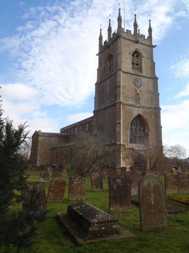
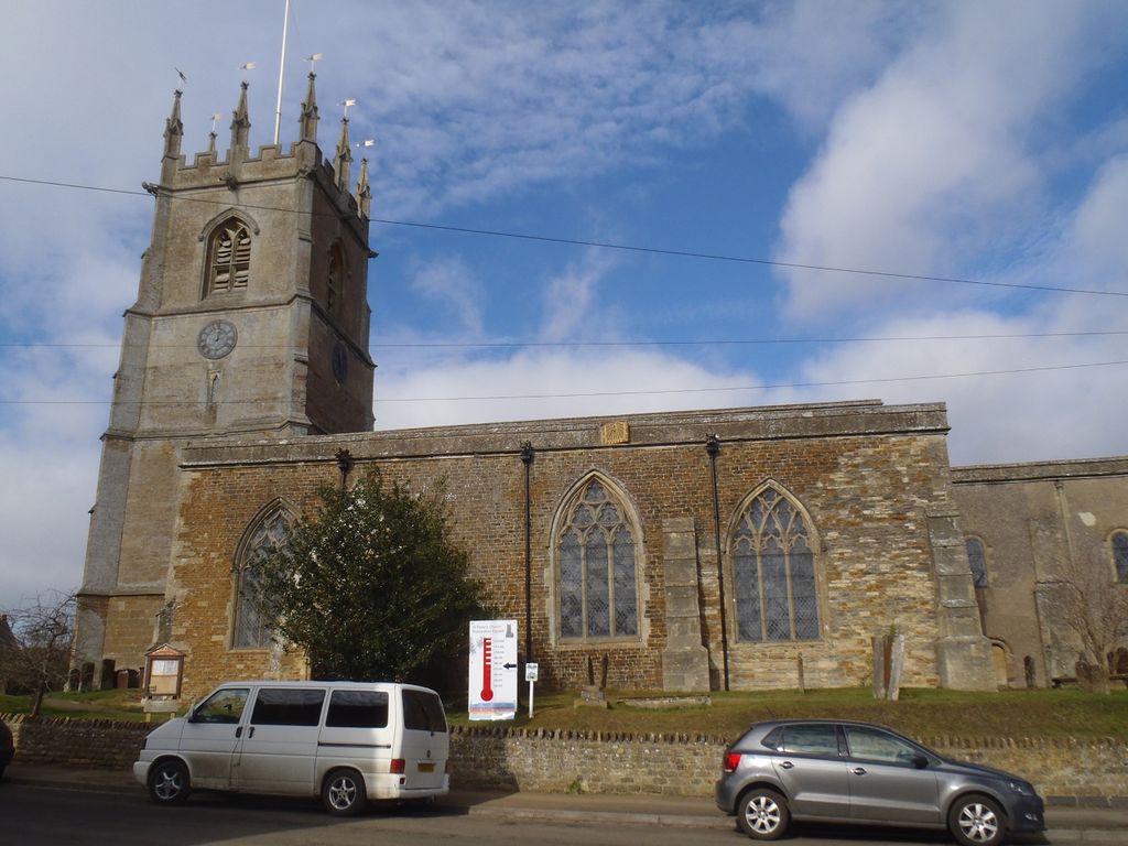
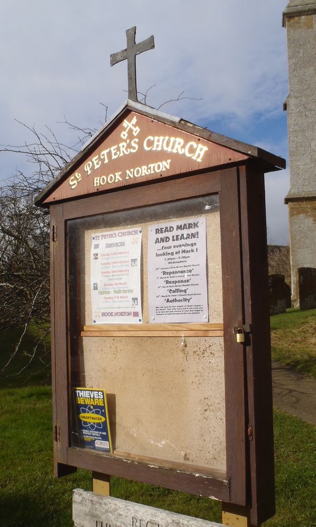
| Description | : | The present Church of England parish church of Saint Peter is of Norman origin but also has Early English, Decorated Gothic and Perpendicular Gothic features. The Norman font is 11th century and is unusual in featuring pagan signs of the Zodiac. St. Peter's contains a number of Mediaeval wall paintings including saints, angels and the Apostles Saint Peter and Saint Paul. The church tower has a ring of eight bells. St Peter's is now the mother church of the Benefice of Hook Norton with Great Rollright, Swerford and Wigginton. |
frequently asked questions (FAQ):
-
Where is St Peters Churchyard?
St Peters Churchyard is located at Hook Norton, Cherwell District ,Oxfordshire ,England.
-
St Peters Churchyard cemetery's updated grave count on graveviews.com?
2 memorials
-
Where are the coordinates of the St Peters Churchyard?
Latitude: 51.9954200
Longitude: -1.4842490
Nearby Cemetories:
1. Hook Norton Baptist Burial Ground
Hook Norton, Cherwell District, England
Coordinate: 51.9953000, -1.4860900
2. Hook Norton Cemetery
Hook Norton, Cherwell District, England
Coordinate: 51.9969440, -1.4787690
3. St Mary Churchyard
Swerford, West Oxfordshire District, England
Coordinate: 51.9773470, -1.4593150
4. Great Rollright St Andrews Churchyard
Rollright, West Oxfordshire District, England
Coordinate: 51.9809290, -1.5255550
5. Saint Giles
Wigginton, Cherwell District, England
Coordinate: 51.9966400, -1.4324000
6. St. Michael's
Whichford, Stratford-on-Avon District, England
Coordinate: 52.0094910, -1.5467784
7. Friends Burial Ground
Sibford Gower, Cherwell District, England
Coordinate: 52.0373140, -1.4889440
8. Holy Trinity Churchyard
Sibford Gower, Cherwell District, England
Coordinate: 52.0374300, -1.4822670
9. South Newington St Peter ad Vincula
South Newington, Cherwell District, England
Coordinate: 51.9970000, -1.4082300
10. St. Peter and St. Paul Churchyard
Swalcliffe, Cherwell District, England
Coordinate: 52.0380790, -1.4497340
11. Old St. Nicholas Churchyard
Heythrop, West Oxfordshire District, England
Coordinate: 51.9468000, -1.4889600
12. St Johns Churchyard
Little Tew, West Oxfordshire District, England
Coordinate: 51.9540390, -1.4419230
13. Saint Laurence Churchyard
Milcombe, Cherwell District, England
Coordinate: 52.0083060, -1.4033990
14. St Nicholas Churchyard
Tadmarton, Cherwell District, England
Coordinate: 52.0377060, -1.4295690
15. St Michael and All Angels Churchyard
Great Tew, West Oxfordshire District, England
Coordinate: 51.9569280, -1.4205150
16. Saint Peter and St Paul Churchyard
Long Compton, Stratford-on-Avon District, England
Coordinate: 51.9949740, -1.5823690
17. St. Philip Church
Little Rollright, West Oxfordshire District, England
Coordinate: 51.9688330, -1.5742230
18. Holy Trinity Catholic Churchyard
Chipping Norton, West Oxfordshire District, England
Coordinate: 51.9439300, -1.5388200
19. St. Thomas Becket Cemetery
Sutton-under-Brailes, Stratford-on-Avon District, England
Coordinate: 52.0342400, -1.5657800
20. Stourton Wesleyan Chapel Burial Ground
Stourton, Stratford-on-Avon District, England
Coordinate: 52.0303940, -1.5704780
21. Saint John The Baptist Churchyard
Cherington, Stratford-on-Avon District, England
Coordinate: 52.0271460, -1.5762520
22. St. Mary the Virgin Churchyard
Chipping Norton, West Oxfordshire District, England
Coordinate: 51.9434900, -1.5476200
23. St Anne's Parish Church
Epwell, Cherwell District, England
Coordinate: 52.0615780, -1.4866280
24. St. George's Church of England
Brailes, Stratford-on-Avon District, England
Coordinate: 52.0515110, -1.5414420