
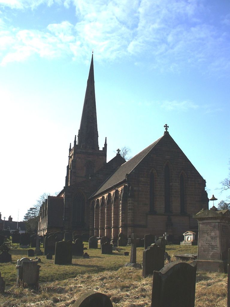
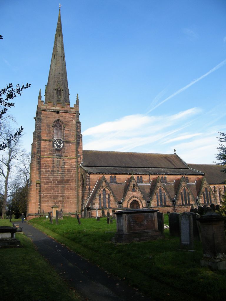
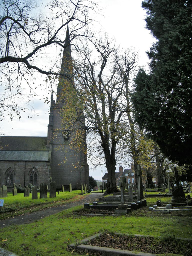
| Memorials | : | 1 |
| Location | : | Brewood, South Staffordshire Borough, England |
| Coordinate | : | 52.6754850, -2.1738520 |
frequently asked questions (FAQ):
-
Where is St Mary and St Chad Churchyard?
St Mary and St Chad Churchyard is located at Brewood, South Staffordshire Borough ,Staffordshire ,England.
-
St Mary and St Chad Churchyard cemetery's updated grave count on graveviews.com?
1 memorials
-
Where are the coordinates of the St Mary and St Chad Churchyard?
Latitude: 52.6754850
Longitude: -2.1738520
Nearby Cemetories:
1. Saint John's Churchyard
Stretton, South Staffordshire Borough, England
Coordinate: 52.6999790, -2.1720920
2. Christ Church
Gailey, South Staffordshire Borough, England
Coordinate: 52.6933900, -2.1308200
3. Saint Johns Church
Bishops Wood, Shropshire Unitary Authority, England
Coordinate: 52.6810030, -2.2369880
4. All Saints Churchyard
Lapley, South Staffordshire Borough, England
Coordinate: 52.7138900, -2.1902330
5. St. Nicholas' Churchyard
Codsall, South Staffordshire Borough, England
Coordinate: 52.6342500, -2.1992300
6. White Ladies Priory
Boscobel, Shropshire Unitary Authority, England
Coordinate: 52.6657000, -2.2584000
7. St. Michael & All Angels Churchyard
Penkridge, South Staffordshire Borough, England
Coordinate: 52.7245874, -2.1181258
8. Bushbury Cemetery and Crematorium
Bushbury, Metropolitan Borough of Wolverhampton, England
Coordinate: 52.6247480, -2.1083690
9. St. Saviour Churchyard
Hatherton, South Staffordshire Borough, England
Coordinate: 52.6841730, -2.0660840
10. St. Mary's Churchyard
Bushbury, Metropolitan Borough of Wolverhampton, England
Coordinate: 52.6199160, -2.1130120
11. St Andrew Church
Weston-under-Lizard, South Staffordshire Borough, England
Coordinate: 52.6932000, -2.2883000
12. Danescourt Cemetery
Tettenhall, Metropolitan Borough of Wolverhampton, England
Coordinate: 52.6033840, -2.1789160
13. St. Michael and All Angels Churchyard
Tettenhall, Metropolitan Borough of Wolverhampton, England
Coordinate: 52.6003380, -2.1619170
14. St. Cuthbert's Churchyard
Albrighton, Shropshire Unitary Authority, England
Coordinate: 52.6392906, -2.2838705
15. St Mary Magdalene Churchyard
Albrighton, Shropshire Unitary Authority, England
Coordinate: 52.6373060, -2.2831290
16. Cheslyn Hay Cemetery
Cheslyn Hay, South Staffordshire Borough, England
Coordinate: 52.6581170, -2.0431790
17. St. Chad
Boningale, Shropshire Unitary Authority, England
Coordinate: 52.6208330, -2.2795110
18. St Mary and All Saints
Bradley, Stafford Borough, England
Coordinate: 52.7599257, -2.1808769
19. Christ Church
Tettenhall Wood, Metropolitan Borough of Wolverhampton, England
Coordinate: 52.5895828, -2.1805506
20. St. Editha's Parish Church Graveyard
Church Eaton, Stafford Borough, England
Coordinate: 52.7560690, -2.2259540
21. St Mary Roman Catholic Churchyard
Cannock, Cannock Chase District, England
Coordinate: 52.6867620, -2.0283360
22. St. Luke's Churchyard
Cannock, Cannock Chase District, England
Coordinate: 52.6889919, -2.0287352
23. Great Wyrley Cemetery
Great Wyrley, South Staffordshire Borough, England
Coordinate: 52.6642130, -2.0269380
24. Wednesfield New Burial Ground
Wednesfield, Metropolitan Borough of Wolverhampton, England
Coordinate: 52.6003500, -2.0918900