
| Memorials | : | 0 |
| Location | : | Cheslyn Hay, South Staffordshire Borough, England |
| Coordinate | : | 52.6581170, -2.0431790 |
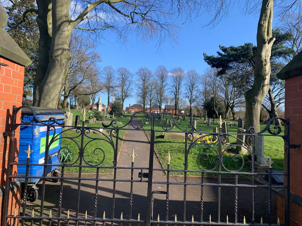
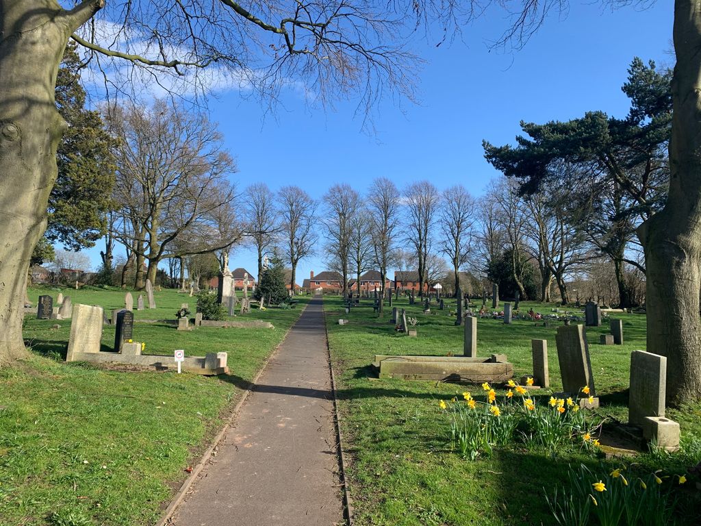
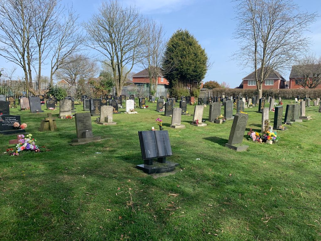
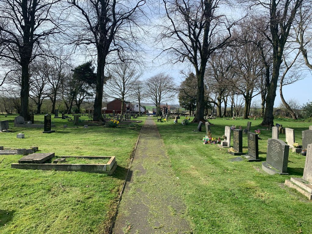
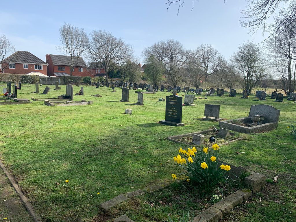
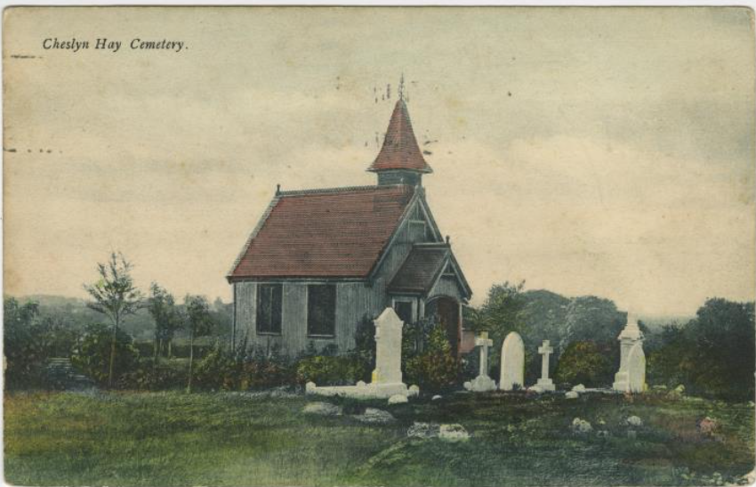
| Description | : | Cheslyn Hay Cemetery is the longest serving burial ground in the village, located towards the top of the village boundary in Cemetery Street. It has many graves, and an area set aside for cremations. There are six war graves, four from the First World War, and two from the Second World War. Originally there was a small chapel on the site, but it was destroyed by fire on 17th August 1988. It was located inside the main gates, on the right hand side of the path. Water is provided on site, located at the end of a path as you turn right through... Read More |
frequently asked questions (FAQ):
-
Where is Cheslyn Hay Cemetery?
Cheslyn Hay Cemetery is located at Cheslyn Hay, South Staffordshire Borough ,Staffordshire ,England.
-
Cheslyn Hay Cemetery cemetery's updated grave count on graveviews.com?
0 memorials
-
Where are the coordinates of the Cheslyn Hay Cemetery?
Latitude: 52.6581170
Longitude: -2.0431790
Nearby Cemetories:
1. Great Wyrley Cemetery
Great Wyrley, South Staffordshire Borough, England
Coordinate: 52.6642130, -2.0269380
2. Strawberry Lane Cemetery
Cheslyn Hay, South Staffordshire Borough, England
Coordinate: 52.6485291, -2.0300821
3. St. Mark's Churchyard
Great Wyrley, South Staffordshire Borough, England
Coordinate: 52.6664250, -2.0231955
4. St. Saviour Churchyard
Hatherton, South Staffordshire Borough, England
Coordinate: 52.6841730, -2.0660840
5. St Mary Roman Catholic Churchyard
Cannock, Cannock Chase District, England
Coordinate: 52.6867620, -2.0283360
6. North Walsall Cemetery
Bloxwich, Metropolitan Borough of Walsall, England
Coordinate: 52.6321680, -2.0151070
7. St. Luke's Churchyard
Cannock, Cannock Chase District, England
Coordinate: 52.6889919, -2.0287352
8. Cannock Cemetery
Cannock, Cannock Chase District, England
Coordinate: 52.7008790, -2.0288950
9. Bloxwich Cemetery
Bloxwich, Metropolitan Borough of Walsall, England
Coordinate: 52.6188070, -1.9963110
10. St John Churchyard
Heath Hayes, Cannock Chase District, England
Coordinate: 52.6914160, -1.9846280
11. All Saints Church Cemetery
Bloxwich, Metropolitan Borough of Walsall, England
Coordinate: 52.6147940, -2.0050330
12. Bushbury Cemetery and Crematorium
Bushbury, Metropolitan Borough of Wolverhampton, England
Coordinate: 52.6247480, -2.1083690
13. Holy Trinity Churchyard Shortheath
Willenhall, Metropolitan Borough of Walsall, England
Coordinate: 52.6047160, -2.0364190
14. Our Lady of Lourdes Churchyard
Hednesford, Cannock Chase District, England
Coordinate: 52.7051311, -1.9969935
15. St. Peter's Churchyard
Hednesford, Cannock Chase District, England
Coordinate: 52.7050630, -1.9918330
16. St. Mary's Churchyard
Bushbury, Metropolitan Borough of Wolverhampton, England
Coordinate: 52.6199160, -2.1130120
17. Willenhall Lawn Cemetery
Willenhall, Metropolitan Borough of Walsall, England
Coordinate: 52.6001870, -2.0327110
18. St. Thomas Churchyard
Wednesfield, Metropolitan Borough of Wolverhampton, England
Coordinate: 52.5997080, -2.0835350
19. Christ Church
Gailey, South Staffordshire Borough, England
Coordinate: 52.6933900, -2.1308200
20. St. Anne Churchyard Chasetown
Burntwood, Lichfield District, England
Coordinate: 52.6693850, -1.9381720
21. Wednesfield New Burial Ground
Wednesfield, Metropolitan Borough of Wolverhampton, England
Coordinate: 52.6003500, -2.0918900
22. Ryecroft Cemetery
Walsall, Metropolitan Borough of Walsall, England
Coordinate: 52.6012820, -1.9752140
23. Chase and District Memorial Park
Burntwood, Lichfield District, England
Coordinate: 52.6817140, -1.9339150
24. Wood Street Cemetery
Willenhall, Metropolitan Borough of Walsall, England
Coordinate: 52.5867500, -2.0528900