
| Memorials | : | 3 |
| Location | : | Lapley, South Staffordshire Borough, England |
| Coordinate | : | 52.7138900, -2.1902330 |
frequently asked questions (FAQ):
-
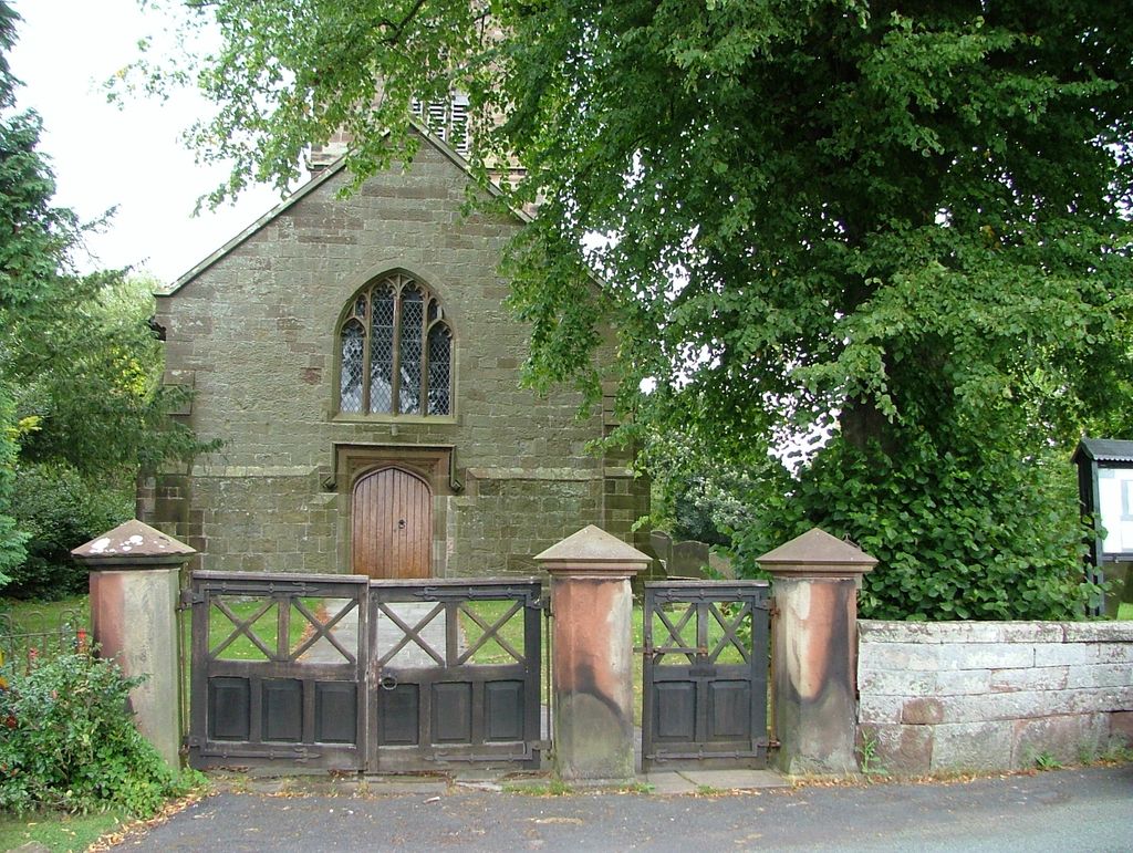
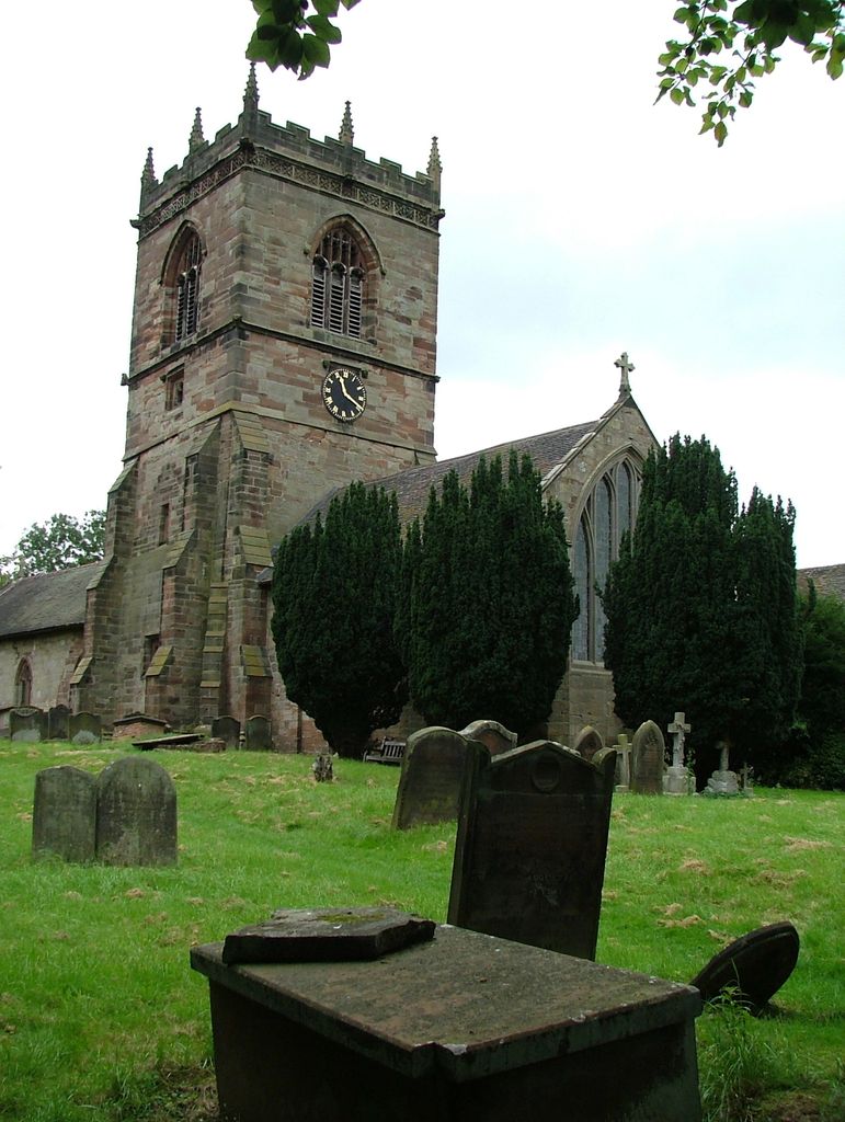
Where is All Saints Churchyard?
All Saints Churchyard is located at Church Road Lapley, South Staffordshire Borough ,Staffordshire , ST19 9PDEngland.
-
All Saints Churchyard cemetery's updated grave count on graveviews.com?
2 memorials
-
Where are the coordinates of the All Saints Churchyard?
Latitude: 52.7138900
Longitude: -2.1902330
Nearby Cemetories:
1. Saint John's Churchyard
Stretton, South Staffordshire Borough, England
Coordinate: 52.6999790, -2.1720920
2. St Mary and St Chad Churchyard
Brewood, South Staffordshire Borough, England
Coordinate: 52.6754850, -2.1738520
3. Christ Church
Gailey, South Staffordshire Borough, England
Coordinate: 52.6933900, -2.1308200
4. Saint Johns Church
Bishops Wood, Shropshire Unitary Authority, England
Coordinate: 52.6810030, -2.2369880
5. St. Michael & All Angels Churchyard
Penkridge, South Staffordshire Borough, England
Coordinate: 52.7245874, -2.1181258
6. St Mary and All Saints
Bradley, Stafford Borough, England
Coordinate: 52.7599257, -2.1808769
7. St. Editha's Parish Church Graveyard
Church Eaton, Stafford Borough, England
Coordinate: 52.7560690, -2.2259540
8. St Andrew Church
Weston-under-Lizard, South Staffordshire Borough, England
Coordinate: 52.6932000, -2.2883000
9. White Ladies Priory
Boscobel, Shropshire Unitary Authority, England
Coordinate: 52.6657000, -2.2584000
10. St Giles Churchyard
Haughton, Stafford Borough, England
Coordinate: 52.7817750, -2.2005140
11. St. James Churchyard
Acton Trussell, South Staffordshire Borough, England
Coordinate: 52.7546980, -2.0943120
12. St Mary's, Moreton
Moreton, Stafford Borough, England
Coordinate: 52.7521490, -2.3021420
13. St. Nicholas' Churchyard
Codsall, South Staffordshire Borough, England
Coordinate: 52.6342500, -2.1992300
14. St. Saviour Churchyard
Hatherton, South Staffordshire Borough, England
Coordinate: 52.6841730, -2.0660840
15. St. Lawrence Churchyard
Gnosall, Stafford Borough, England
Coordinate: 52.7853010, -2.2533270
16. St. Cuthbert's Churchyard
Albrighton, Shropshire Unitary Authority, England
Coordinate: 52.6392906, -2.2838705
17. St Mary Magdalene Churchyard
Albrighton, Shropshire Unitary Authority, England
Coordinate: 52.6373060, -2.2831290
18. Woodcote Parish Church
Woodcote, Telford and Wrekin Unitary Authority, England
Coordinate: 52.7358330, -2.3456640
19. Cannock Cemetery
Cannock, Cannock Chase District, England
Coordinate: 52.7008790, -2.0288950
20. St. Luke's Churchyard
Cannock, Cannock Chase District, England
Coordinate: 52.6889919, -2.0287352
21. St. Mary's Churchyard
Stafford, Stafford Borough, England
Coordinate: 52.8057000, -2.1187000
22. Cannock Chase War Cemetery
Cannock, Cannock Chase District, England
Coordinate: 52.7370710, -2.0266340
23. St Mary Roman Catholic Churchyard
Cannock, Cannock Chase District, England
Coordinate: 52.6867620, -2.0283360
24. Cannock Chase German Military Cemetery
Cannock, Cannock Chase District, England
Coordinate: 52.7370580, -2.0265050