
| Memorials | : | 0 |
| Location | : | Great Wyrley, South Staffordshire Borough, England |
| Coordinate | : | 52.6642130, -2.0269380 |
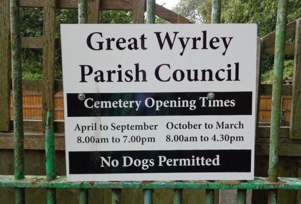
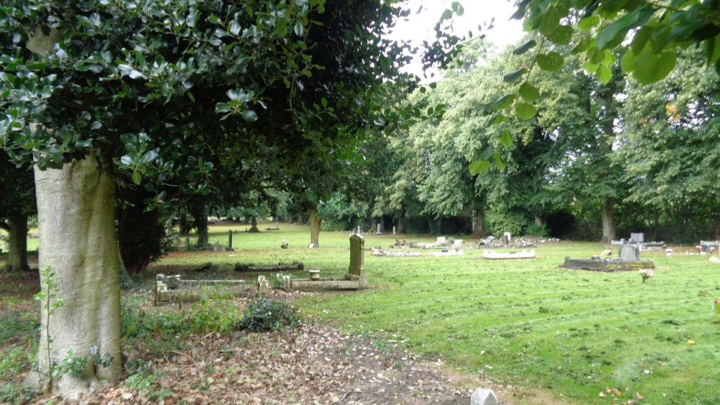
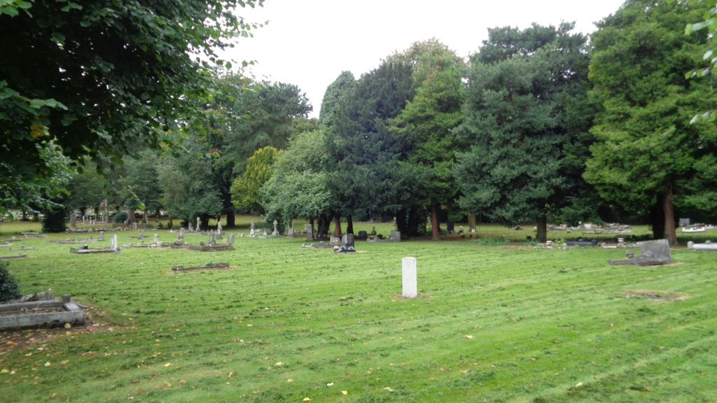
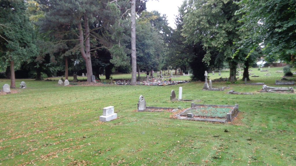
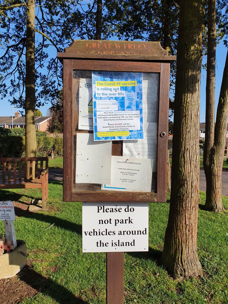
| Description | : | Often a cause for confusion, the Great Wyrley cemetery actually resides in the village of Cheslyn Hay. Great Wyrley Parish Council purchased land for the cemetery in Station Street in Cheslyn Hay, with a conveyance dated 19th May 1896. The cemetery, opened in 1897 and is approached from Station Street, Cheslyn Hay, and has a small mortuary chapel. From 2006, due to capacity issues, the local Parish Council reluctantly made the decision not to allow anyone from outside of Great Wyrley or Cheslyn Hay to be buried in the cemetery. |
frequently asked questions (FAQ):
-
Where is Great Wyrley Cemetery?
Great Wyrley Cemetery is located at Station Street Great Wyrley, South Staffordshire Borough ,Staffordshire ,England.
-
Great Wyrley Cemetery cemetery's updated grave count on graveviews.com?
0 memorials
-
Where are the coordinates of the Great Wyrley Cemetery?
Latitude: 52.6642130
Longitude: -2.0269380
Nearby Cemetories:
1. St. Mark's Churchyard
Great Wyrley, South Staffordshire Borough, England
Coordinate: 52.6664250, -2.0231955
2. Cheslyn Hay Cemetery
Cheslyn Hay, South Staffordshire Borough, England
Coordinate: 52.6581170, -2.0431790
3. Strawberry Lane Cemetery
Cheslyn Hay, South Staffordshire Borough, England
Coordinate: 52.6485291, -2.0300821
4. St Mary Roman Catholic Churchyard
Cannock, Cannock Chase District, England
Coordinate: 52.6867620, -2.0283360
5. St. Luke's Churchyard
Cannock, Cannock Chase District, England
Coordinate: 52.6889919, -2.0287352
6. St. Saviour Churchyard
Hatherton, South Staffordshire Borough, England
Coordinate: 52.6841730, -2.0660840
7. North Walsall Cemetery
Bloxwich, Metropolitan Borough of Walsall, England
Coordinate: 52.6321680, -2.0151070
8. Cannock Cemetery
Cannock, Cannock Chase District, England
Coordinate: 52.7008790, -2.0288950
9. St John Churchyard
Heath Hayes, Cannock Chase District, England
Coordinate: 52.6914160, -1.9846280
10. Our Lady of Lourdes Churchyard
Hednesford, Cannock Chase District, England
Coordinate: 52.7051311, -1.9969935
11. St. Peter's Churchyard
Hednesford, Cannock Chase District, England
Coordinate: 52.7050630, -1.9918330
12. Bloxwich Cemetery
Bloxwich, Metropolitan Borough of Walsall, England
Coordinate: 52.6188070, -1.9963110
13. All Saints Church Cemetery
Bloxwich, Metropolitan Borough of Walsall, England
Coordinate: 52.6147940, -2.0050330
14. St. Anne Churchyard Chasetown
Burntwood, Lichfield District, England
Coordinate: 52.6693850, -1.9381720
15. Chase and District Memorial Park
Burntwood, Lichfield District, England
Coordinate: 52.6817140, -1.9339150
16. Holy Trinity Churchyard Shortheath
Willenhall, Metropolitan Borough of Walsall, England
Coordinate: 52.6047160, -2.0364190
17. St John's Church Cemetery
Burntwood, Lichfield District, England
Coordinate: 52.6901000, -1.9349300
18. Bushbury Cemetery and Crematorium
Bushbury, Metropolitan Borough of Wolverhampton, England
Coordinate: 52.6247480, -2.1083690
19. Willenhall Lawn Cemetery
Willenhall, Metropolitan Borough of Walsall, England
Coordinate: 52.6001870, -2.0327110
20. St. Mary's Churchyard
Bushbury, Metropolitan Borough of Wolverhampton, England
Coordinate: 52.6199160, -2.1130120
21. Christ Church
Gailey, South Staffordshire Borough, England
Coordinate: 52.6933900, -2.1308200
22. Ryecroft Cemetery
Walsall, Metropolitan Borough of Walsall, England
Coordinate: 52.6012820, -1.9752140
23. Cannock Chase German Military Cemetery
Cannock, Cannock Chase District, England
Coordinate: 52.7370580, -2.0265050
24. Cannock Chase War Cemetery
Cannock, Cannock Chase District, England
Coordinate: 52.7370710, -2.0266340