
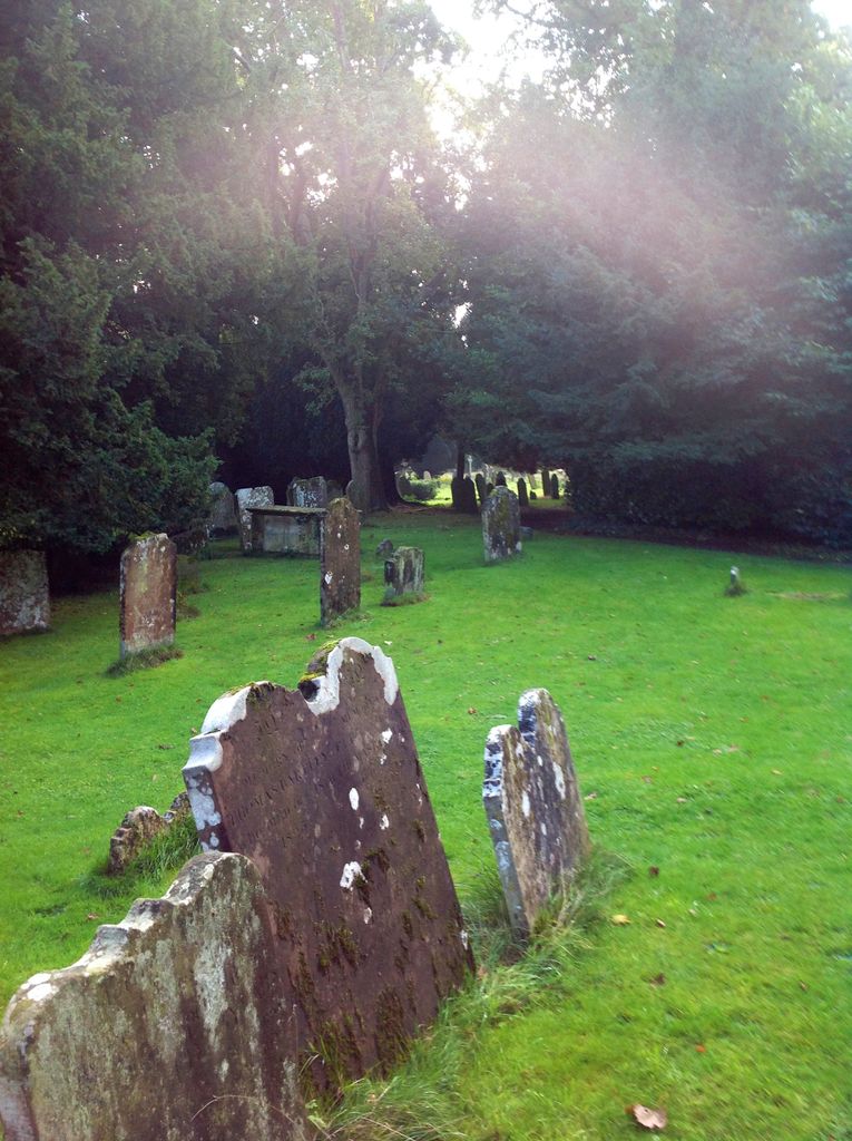
| Memorials | : | 1 |
| Location | : | Slaugham, Mid Sussex District, England |
| Coordinate | : | 51.0385470, -0.2081720 |
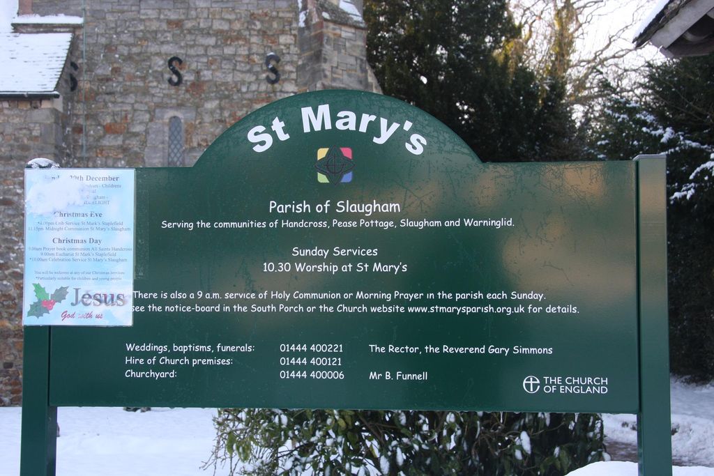
| Description | : | Slaugham is a village and civil parish in the Mid Sussex District of West Sussex, England. It is located seven miles (11 km) to the south of Crawley, on the A23 road to Brighton. The civil parish covers an area of 2432 hectares (6007 acres) and has a population of 2226 persons living in 943 of whom 1174 were economically active (2001 census). parish also contains the settlements of Pease Pottage, Handcross and Warninglid, in addition to Slaugham itself. St Mary's Church, a Grade II* listed building dating mostly from the 12th and 13th centuries and situated opposite Slaugham's village... Read More |
frequently asked questions (FAQ):
-
Where is St Mary Churchyard?
St Mary Churchyard is located at Slaugham, Mid Sussex District ,West Sussex ,England.
-
St Mary Churchyard cemetery's updated grave count on graveviews.com?
1 memorials
-
Where are the coordinates of the St Mary Churchyard?
Latitude: 51.0385470
Longitude: -0.2081720


Nearby Cemetories:
1. St Mark's Churchyard
Staplefield, Mid Sussex District, England
Coordinate: 51.0387526, -0.1788845
2. Saatchi Tomb
Mid Sussex District, England
Coordinate: 51.0398900, -0.1647300
3. Holy Trinity Churchyard
Lower Beeding, Horsham District, England
Coordinate: 51.0331850, -0.2610280
4. St Saviour Churchyard
Colgate, Horsham District, England
Coordinate: 51.0817080, -0.2444000
5. St. Mary Magdalene Churchyard
Bolney, Mid Sussex District, England
Coordinate: 50.9898000, -0.2035200
6. St Mary's Churchyard
Balcombe, Mid Sussex District, England
Coordinate: 51.0626380, -0.1362240
7. Holy Trinity Churchyard
Cuckfield, Mid Sussex District, England
Coordinate: 51.0048580, -0.1434300
8. St John The Evangelist Churchyard
Lower Beeding, Horsham District, England
Coordinate: 51.0552500, -0.2889280
9. St Andrew Churchyard
Nuthurst, Horsham District, England
Coordinate: 51.0222790, -0.3010080
10. St Peter Churchyard
Cowfold, Horsham District, England
Coordinate: 50.9898500, -0.2740200
11. Roffey Cemetery
Horsham, Horsham District, England
Coordinate: 51.0769320, -0.2930890
12. St Peters Churchyard
Twineham, Mid Sussex District, England
Coordinate: 50.9657310, -0.2174410
13. Friary Churchyard of St. Francis and St. Anthony
Crawley, Crawley Borough, England
Coordinate: 51.1133670, -0.1875970
14. St Wilfrid's Churchyard
Haywards Heath, Mid Sussex District, England
Coordinate: 50.9993130, -0.1046570
15. St John the Baptist Church
Crawley, Crawley Borough, England
Coordinate: 51.1140840, -0.1892240
16. Snell Hatch Cemetery
Crawley, Crawley Borough, England
Coordinate: 51.1164130, -0.2053970
17. Denne Road Cemetery
Horsham, Horsham District, England
Coordinate: 51.0596630, -0.3286750
18. St Mary the Virgin Churchyard
Horsham, Horsham District, England
Coordinate: 51.0597360, -0.3309600
19. St Hugh's Charterhouse
Horsham, Horsham District, England
Coordinate: 50.9730110, -0.2827360
20. St Nicholas Churchyard
Worth, Mid Sussex District, England
Coordinate: 51.1102870, -0.1415280
21. Western Road Cemetery
Haywards Heath, Mid Sussex District, England
Coordinate: 50.9987100, -0.0920000
22. All Saints Churchyard
Lindfield, Mid Sussex District, England
Coordinate: 51.0163470, -0.0784980
23. St Margaret of Antioch Churchyard
Ifield, Crawley Borough, England
Coordinate: 51.1238700, -0.2194760
24. St Edward the Confessor
Burgess Hill, Mid Sussex District, England
Coordinate: 50.9606020, -0.1484840