
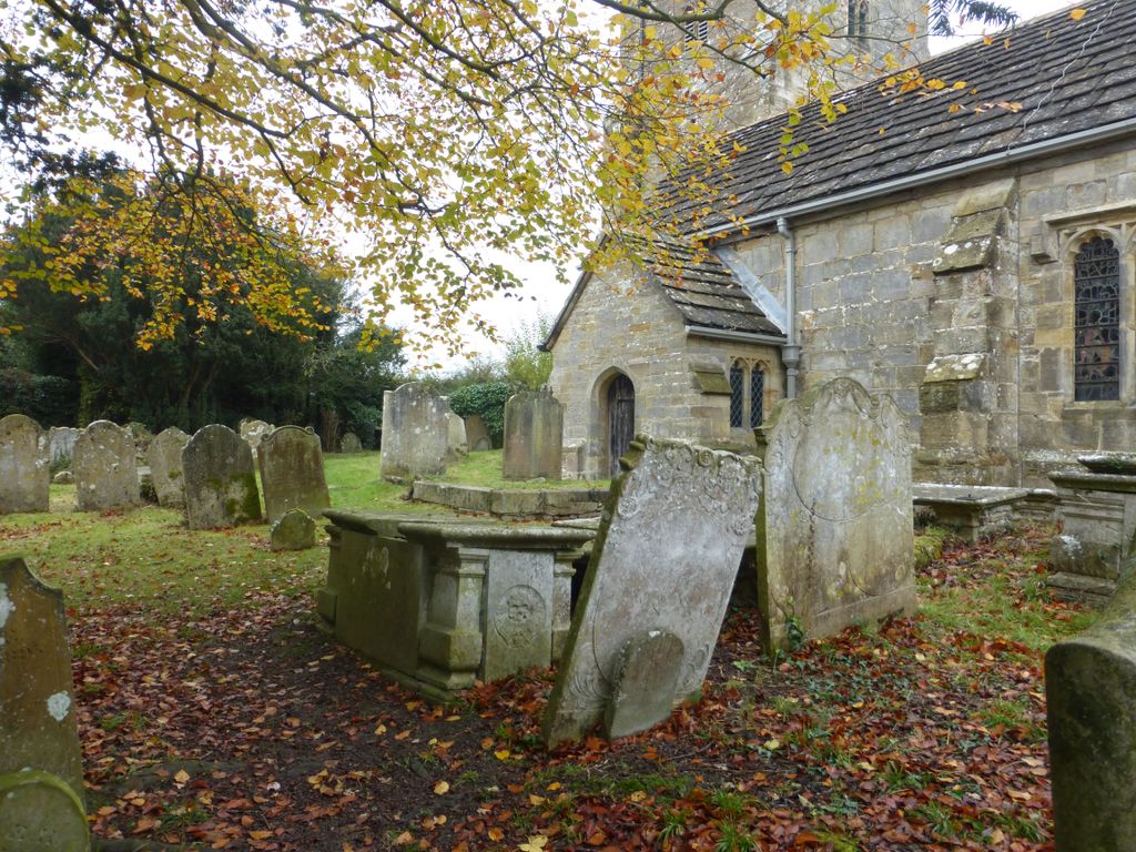
| Memorials | : | 0 |
| Location | : | Cowfold, Horsham District, England |
| Coordinate | : | 50.9898500, -0.2740200 |
| Description | : | This includes the Extension churchyard which adjoins the South-West side of the Churchyard. |
frequently asked questions (FAQ):
-
Where is St Peter Churchyard?
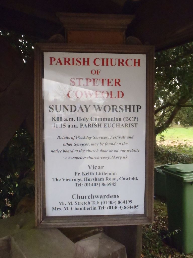
St Peter Churchyard is located at The Street, [in the centre of the village] Cowfold, Horsham District ,West Sussex , RH13 8BTEngland.
-
St Peter Churchyard cemetery's updated grave count on graveviews.com?
0 memorials
-
Where are the coordinates of the St Peter Churchyard?
Latitude: 50.9898500
Longitude: -0.2740200

Nearby Cemetories:
1. St Hugh's Charterhouse
Horsham, Horsham District, England
Coordinate: 50.9730110, -0.2827360
2. St Giles Churchyard
Shermanbury, Horsham District, England
Coordinate: 50.9561320, -0.2726010
3. Our Lady Of Consolation and St Francis Churchyard
West Grinstead, Horsham District, England
Coordinate: 50.9779220, -0.3245590
4. St Michael and All Angels Churchyard
West Grinstead, Horsham District, England
Coordinate: 50.9619680, -0.3081750
5. St Michael & All Angels Churchyard
Partridge Green, Horsham District, England
Coordinate: 50.9618600, -0.3081540
6. St Andrew Churchyard
Nuthurst, Horsham District, England
Coordinate: 51.0222790, -0.3010080
7. St George Churchyard
West Grinstead, Horsham District, England
Coordinate: 50.9736360, -0.3336990
8. St Peters Churchyard
Twineham, Mid Sussex District, England
Coordinate: 50.9657310, -0.2174410
9. Holy Trinity Churchyard
Lower Beeding, Horsham District, England
Coordinate: 51.0331850, -0.2610280
10. St. Mary Magdalene Churchyard
Bolney, Mid Sussex District, England
Coordinate: 50.9898000, -0.2035200
11. Henfield Cemetery
Henfield, Horsham District, England
Coordinate: 50.9342000, -0.2764400
12. St Peter's Churchyard
Henfield, Horsham District, England
Coordinate: 50.9323340, -0.2762030
13. St Mary the Virgin Churchyard
Shipley, Horsham District, England
Coordinate: 50.9842530, -0.3701900
14. Southwater Parish Cemetery
Southwater, Horsham District, England
Coordinate: 51.0245167, -0.3574486
15. The Church of the Holy Innocents Cemetery
Southwater, Horsham District, England
Coordinate: 51.0244290, -0.3576390
16. Holy Innocents Churchyard
Southwater, Horsham District, England
Coordinate: 51.0252410, -0.3584748
17. St Mary Churchyard
Slaugham, Mid Sussex District, England
Coordinate: 51.0385470, -0.2081720
18. St James Churchyard
Ashurst, Horsham District, England
Coordinate: 50.9347992, -0.3273070
19. St John The Evangelist Churchyard
Lower Beeding, Horsham District, England
Coordinate: 51.0552500, -0.2889280
20. St Peter's Churchyard
Woodmancote, Horsham District, England
Coordinate: 50.9213180, -0.2497350
21. St Mark's Churchyard
Staplefield, Mid Sussex District, England
Coordinate: 51.0387526, -0.1788845
22. Denne Road Cemetery
Horsham, Horsham District, England
Coordinate: 51.0596630, -0.3286750
23. St Mary the Virgin Churchyard
Horsham, Horsham District, England
Coordinate: 51.0597360, -0.3309600
24. Burgess Hill Burial Ground
Burgess Hill, Mid Sussex District, England
Coordinate: 50.9542794, -0.1583567