
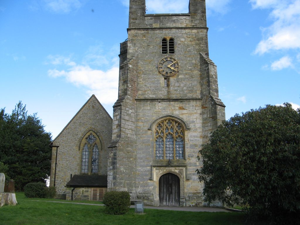
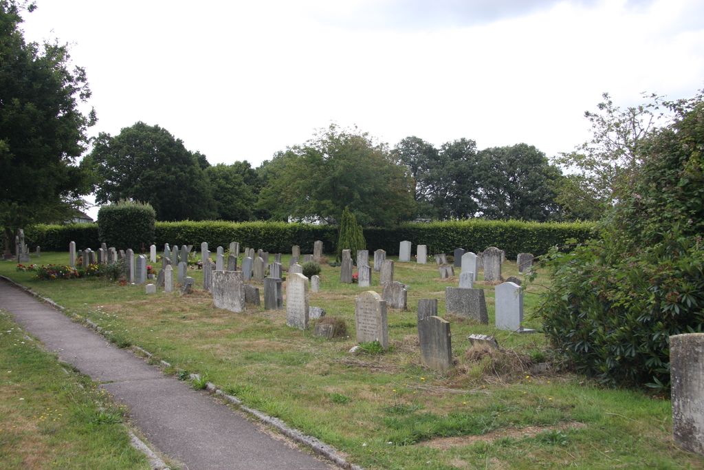
| Memorials | : | 0 |
| Location | : | Bolney, Mid Sussex District, England |
| Coordinate | : | 50.9898000, -0.2035200 |
frequently asked questions (FAQ):
-
Where is St. Mary Magdalene Churchyard?
St. Mary Magdalene Churchyard is located at A272/Bolney St, Bolney, Mid Sussex District ,West Sussex ,England.
-
St. Mary Magdalene Churchyard cemetery's updated grave count on graveviews.com?
0 memorials
-
Where are the coordinates of the St. Mary Magdalene Churchyard?
Latitude: 50.9898000
Longitude: -0.2035200


Nearby Cemetories:
1. St Peters Churchyard
Twineham, Mid Sussex District, England
Coordinate: 50.9657310, -0.2174410
2. Holy Trinity Churchyard
Cuckfield, Mid Sussex District, England
Coordinate: 51.0048580, -0.1434300
3. St Peter Churchyard
Cowfold, Horsham District, England
Coordinate: 50.9898500, -0.2740200
4. St Edward the Confessor
Burgess Hill, Mid Sussex District, England
Coordinate: 50.9606020, -0.1484840
5. Burgess Hill Burial Ground
Burgess Hill, Mid Sussex District, England
Coordinate: 50.9542794, -0.1583567
6. St Mary Churchyard
Slaugham, Mid Sussex District, England
Coordinate: 51.0385470, -0.2081720
7. St Mark's Churchyard
Staplefield, Mid Sussex District, England
Coordinate: 51.0387526, -0.1788845
8. St Hugh's Charterhouse
Horsham, Horsham District, England
Coordinate: 50.9730110, -0.2827360
9. St Giles Churchyard
Shermanbury, Horsham District, England
Coordinate: 50.9561320, -0.2726010
10. St. John the Evangelist Churchyard
Burgess Hill, Mid Sussex District, England
Coordinate: 50.9570100, -0.1333700
11. Saatchi Tomb
Mid Sussex District, England
Coordinate: 51.0398900, -0.1647300
12. Holy Trinity Churchyard
Lower Beeding, Horsham District, England
Coordinate: 51.0331850, -0.2610280
13. Holy Trinity Churchyard
Hurstpierpoint, Mid Sussex District, England
Coordinate: 50.9337020, -0.1804460
14. St Andrew Churchyard
Burgess Hill, Mid Sussex District, England
Coordinate: 50.9604300, -0.1219500
15. All Saints United Reformed Church
Burgess Hill, Mid Sussex District, England
Coordinate: 50.9537245, -0.1252350
16. Hurstpierpoint South Avenue Cemetery
Hurstpierpoint, Mid Sussex District, England
Coordinate: 50.9300110, -0.1753150
17. St Wilfrid's Churchyard
Haywards Heath, Mid Sussex District, England
Coordinate: 50.9993130, -0.1046570
18. St Andrew Churchyard
Nuthurst, Horsham District, England
Coordinate: 51.0222790, -0.3010080
19. Western Road Cemetery
Haywards Heath, Mid Sussex District, England
Coordinate: 50.9987100, -0.0920000
20. St. Peter & St. John the Baptist Churchyard
Wivelsfield, Lewes District, England
Coordinate: 50.9708740, -0.0952190
21. St Michael and All Angels Churchyard
West Grinstead, Horsham District, England
Coordinate: 50.9619680, -0.3081750
22. St Michael & All Angels Churchyard
Partridge Green, Horsham District, England
Coordinate: 50.9618600, -0.3081540
23. Henfield Cemetery
Henfield, Horsham District, England
Coordinate: 50.9342000, -0.2764400
24. Bethel Baptist Chapel
Wivelsfield, Lewes District, England
Coordinate: 50.9626990, -0.0952615