
| Memorials | : | 0 |
| Location | : | Twineham, Mid Sussex District, England |
| Coordinate | : | 50.9657310, -0.2174410 |
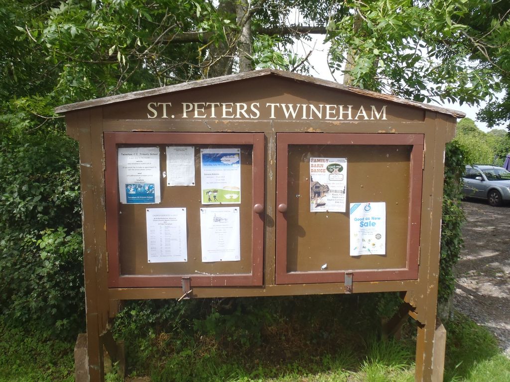
| Description | : | St Peter's is a rural church at the end of a lane surrounded by fields and next to the small Church Primary School. The Church was built in 1516 and is reputed to be the first brick-built Church in Sussex. |
frequently asked questions (FAQ):
-
Where is St Peters Churchyard?
St Peters Churchyard is located at Off Twineham Lane (Church Lane) Twineham, Mid Sussex District ,West Sussex , RH17 5NREngland.
-
St Peters Churchyard cemetery's updated grave count on graveviews.com?
0 memorials
-
Where are the coordinates of the St Peters Churchyard?
Latitude: 50.9657310
Longitude: -0.2174410


Nearby Cemetories:
1. St. Mary Magdalene Churchyard
Bolney, Mid Sussex District, England
Coordinate: 50.9898000, -0.2035200
2. St Giles Churchyard
Shermanbury, Horsham District, England
Coordinate: 50.9561320, -0.2726010
3. Burgess Hill Burial Ground
Burgess Hill, Mid Sussex District, England
Coordinate: 50.9542794, -0.1583567
4. Holy Trinity Churchyard
Hurstpierpoint, Mid Sussex District, England
Coordinate: 50.9337020, -0.1804460
5. St Hugh's Charterhouse
Horsham, Horsham District, England
Coordinate: 50.9730110, -0.2827360
6. St Peter Churchyard
Cowfold, Horsham District, England
Coordinate: 50.9898500, -0.2740200
7. St Edward the Confessor
Burgess Hill, Mid Sussex District, England
Coordinate: 50.9606020, -0.1484840
8. Hurstpierpoint South Avenue Cemetery
Hurstpierpoint, Mid Sussex District, England
Coordinate: 50.9300110, -0.1753150
9. Henfield Cemetery
Henfield, Horsham District, England
Coordinate: 50.9342000, -0.2764400
10. St Peter's Churchyard
Woodmancote, Horsham District, England
Coordinate: 50.9213180, -0.2497350
11. St Peter's Churchyard
Henfield, Horsham District, England
Coordinate: 50.9323340, -0.2762030
12. St. John the Evangelist Churchyard
Burgess Hill, Mid Sussex District, England
Coordinate: 50.9570100, -0.1333700
13. St Michael & All Angels Churchyard
Partridge Green, Horsham District, England
Coordinate: 50.9618600, -0.3081540
14. St Michael and All Angels Churchyard
West Grinstead, Horsham District, England
Coordinate: 50.9619680, -0.3081750
15. All Saints United Reformed Church
Burgess Hill, Mid Sussex District, England
Coordinate: 50.9537245, -0.1252350
16. St Andrew Churchyard
Burgess Hill, Mid Sussex District, England
Coordinate: 50.9604300, -0.1219500
17. Holy Trinity Churchyard
Cuckfield, Mid Sussex District, England
Coordinate: 51.0048580, -0.1434300
18. Clayton Wood Natural Burial Ground
Clayton, Mid Sussex District, England
Coordinate: 50.9160900, -0.1547600
19. St John the Baptist Churchyard
Clayton, Mid Sussex District, England
Coordinate: 50.9105170, -0.1534370
20. Our Lady Of Consolation and St Francis Churchyard
West Grinstead, Horsham District, England
Coordinate: 50.9779220, -0.3245590
21. St Cosmas and St Damian Churchyard
Hassocks, Mid Sussex District, England
Coordinate: 50.9219800, -0.1305650
22. Holy Trinity Churchyard
Lower Beeding, Horsham District, England
Coordinate: 51.0331850, -0.2610280
23. St Mary Churchyard
Slaugham, Mid Sussex District, England
Coordinate: 51.0385470, -0.2081720
24. Poynings Cemetery
Poynings, Mid Sussex District, England
Coordinate: 50.8931150, -0.2024450