| Memorials | : | 0 |
| Location | : | Houghton Regis, Central Bedfordshire Unitary Authority, England |
| Website | : | www.houghtonregis.org.uk/houghton-regis-cemetery |
| Coordinate | : | 51.9019710, -0.5229130 |
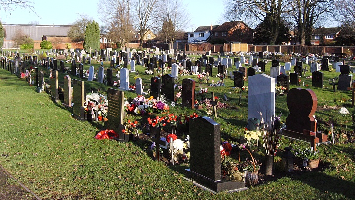
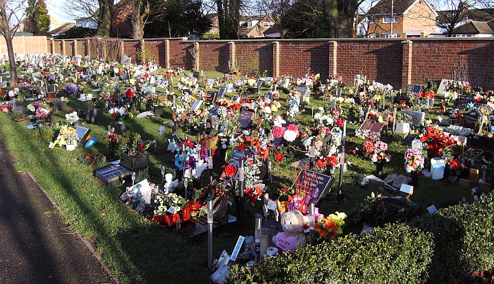
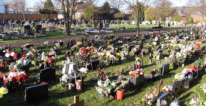
| Description | : | Cemetery Road was named after the small Cemetery located at the top of the road. For many years the Cemetery lay overgrown and undisturbed. From the mid 1980s the Cemetery attached to All Saints' Parish Church was closed as it had become too full to cater for any new burials. The old Cemetery was then cleared and put back into use. It is now well maintained and used for all burials in Houghton Regis. |
frequently asked questions (FAQ):
-
Where is Houghton Regis Cemetery?
Houghton Regis Cemetery is located at Cemetery Road, Houghton Regis Houghton Regis, Central Bedfordshire Unitary Authority ,Bedfordshire ,England.
-
Houghton Regis Cemetery cemetery's updated grave count on graveviews.com?
0 memorials
-
Where are the coordinates of the Houghton Regis Cemetery?
Latitude: 51.9019710
Longitude: -0.5229130
Nearby Cemetories:
1. All Saints Churchyard
Houghton Regis, Central Bedfordshire Unitary Authority, England
Coordinate: 51.9048640, -0.5212930
2. Dunstable Priory
Dunstable, Central Bedfordshire Unitary Authority, England
Coordinate: 51.8859940, -0.5177920
3. Dunstable Cemetery
Dunstable, Central Bedfordshire Unitary Authority, England
Coordinate: 51.8831062, -0.5316300
4. All Saints Churchyard
Chalgrave, Central Bedfordshire Unitary Authority, England
Coordinate: 51.9362000, -0.5343000
5. St Giles of Provence churchyard
Totternhoe, Central Bedfordshire Unitary Authority, England
Coordinate: 51.8778108, -0.5656137
6. St Mary the Virgin Churchyard
Eaton Bray, Central Bedfordshire Unitary Authority, England
Coordinate: 51.8776980, -0.5655540
7. All Saints Churchyard
Tilsworth, Central Bedfordshire Unitary Authority, England
Coordinate: 51.9083138, -0.5837350
8. St. Mary the Virgin Churchyard
Sundon, Central Bedfordshire Unitary Authority, England
Coordinate: 51.9301970, -0.4769740
9. St Mary the Virgin, Kensworth
Kensworth, Central Bedfordshire Unitary Authority, England
Coordinate: 51.8602233, -0.5037911
10. St George of England Parish Church
Toddington, Central Bedfordshire Unitary Authority, England
Coordinate: 51.9498000, -0.5318000
11. Toddington Parish Cemetery
Toddington, Central Bedfordshire Unitary Authority, England
Coordinate: 51.9509830, -0.5282330
12. St. Mary Magdalene Churchyard
Whipsnade, Central Bedfordshire Unitary Authority, England
Coordinate: 51.8510078, -0.5324191
13. Holy Trinity Churchyard
Biscot, Luton Borough, England
Coordinate: 51.9028700, -0.4375560
14. All Saints Churchyard
Caddington, Central Bedfordshire Unitary Authority, England
Coordinate: 51.8670460, -0.4561910
15. St. Nicholas Churchyard
Hockliffe, Central Bedfordshire Unitary Authority, England
Coordinate: 51.9328680, -0.5964160
16. St Michael Churchyard
Eggington, Central Bedfordshire Unitary Authority, England
Coordinate: 51.9168460, -0.6103740
17. St Mary the Virgin Churchyard
Edlesborough, Aylesbury Vale District, England
Coordinate: 51.8617700, -0.5918500
18. St Mary the Virgin Churchyard
Harlington, Central Bedfordshire Unitary Authority, England
Coordinate: 51.9637650, -0.4909810
19. Luton General Cemetery
Luton, Luton Borough, England
Coordinate: 51.8773780, -0.4242060
20. St Mary the Virgin Church Cemetery
Harlington, Central Bedfordshire Unitary Authority, England
Coordinate: 51.9645140, -0.4887520
21. Aley Green Cemetery
Slip End, Central Bedfordshire Unitary Authority, England
Coordinate: 51.8522500, -0.4496420
22. St. Michael and All Angels Churchyard
Billington, Central Bedfordshire Unitary Authority, England
Coordinate: 51.8936510, -0.6347710
23. Friend's Burial Ground
Luton, Luton Borough, England
Coordinate: 51.8738060, -0.4170870
24. St Peter and All Saints Churchyard
Battlesden, Central Bedfordshire Unitary Authority, England
Coordinate: 51.9520610, -0.6059540


