
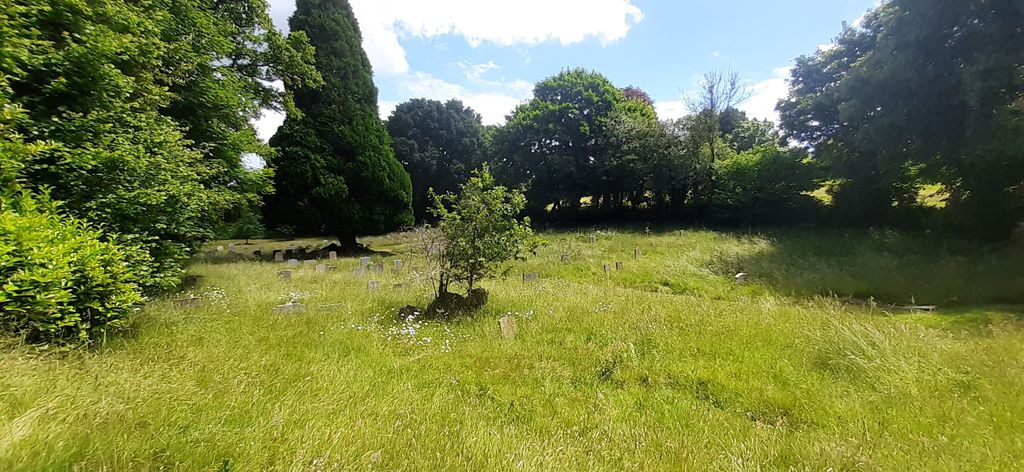
| Memorials | : | 0 |
| Location | : | Dorking, Mole Valley District, England |
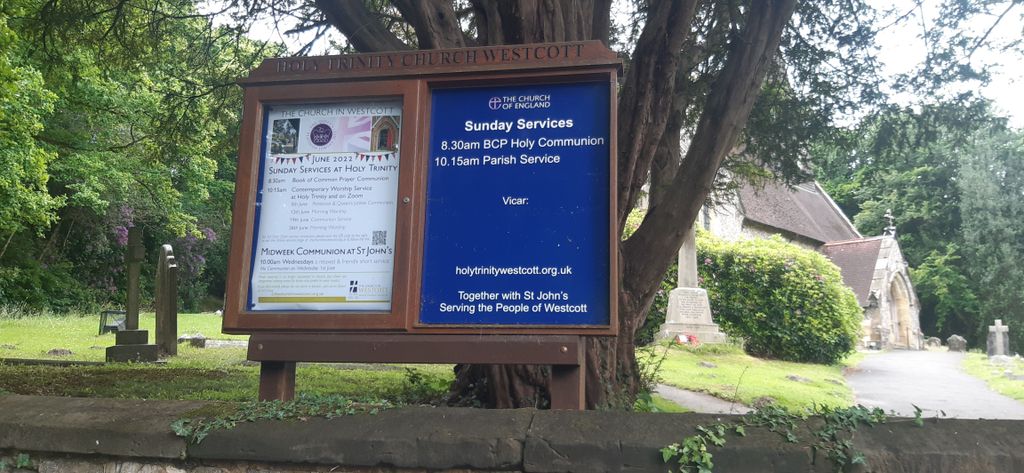
| Phone | : | 01306 887413 |
| Website | : | thechurchinwestcott.org.uk |
| Coordinate | : | 51.2236075, -0.3694870 |
frequently asked questions (FAQ):
-
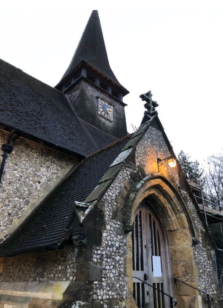
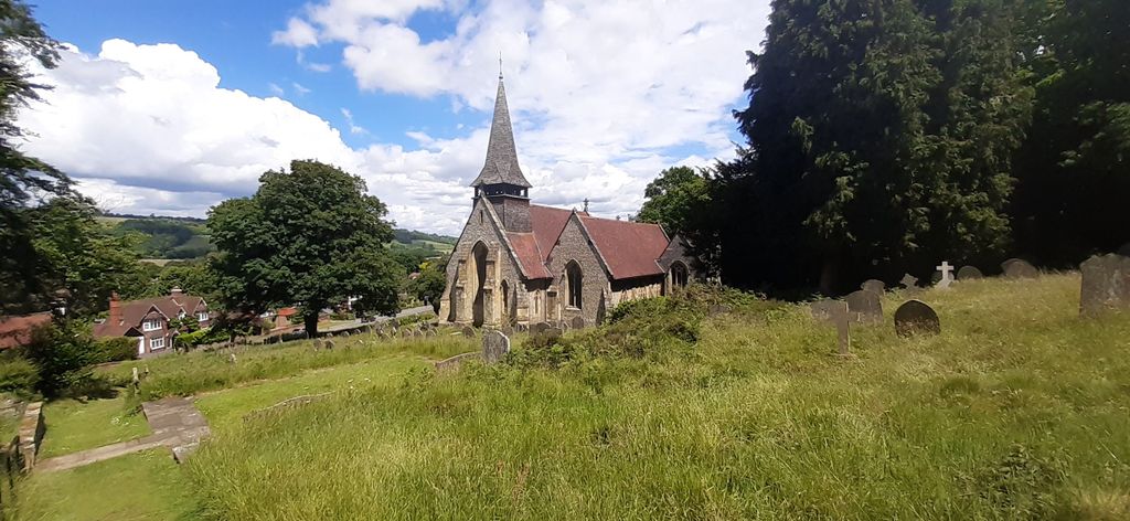
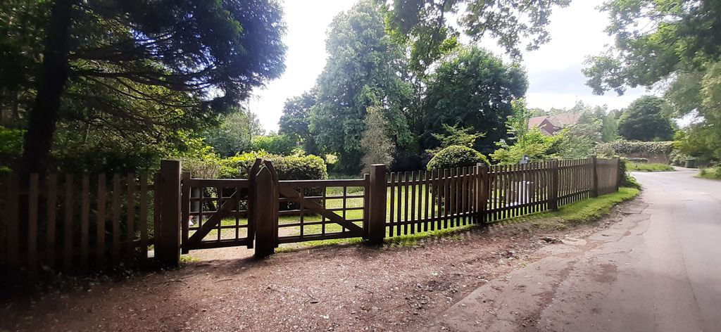
Where is Holy Trinity Churchyard, Westcott?
Holy Trinity Churchyard, Westcott is located at Logmore Ln Dorking, Mole Valley District ,Surrey , RH4 3NNEngland.
-
Holy Trinity Churchyard, Westcott cemetery's updated grave count on graveviews.com?
0 memorials
-
Where are the coordinates of the Holy Trinity Churchyard, Westcott?
Latitude: 51.2236075
Longitude: -0.3694870
Nearby Cemetories:
1. St John the Evangelist Churchyard
Wotton, Mole Valley District, England
Coordinate: 51.2198770, -0.3895890
2. St. Barnabas Churchyard
Ranmore Common, Mole Valley District, England
Coordinate: 51.2419730, -0.3602730
3. St Martin Churchyard
Dorking, Mole Valley District, England
Coordinate: 51.2326360, -0.3320140
4. Deepdene Mausoleum
Dorking, Mole Valley District, England
Coordinate: 51.2307590, -0.3206630
5. St James Churchyard
Abinger, Mole Valley District, England
Coordinate: 51.2017820, -0.4056060
6. Dorking Cemetery
Dorking, Mole Valley District, England
Coordinate: 51.2365646, -0.3189580
7. Polesden Lacey Estate
Great Bookham, Mole Valley District, England
Coordinate: 51.2591310, -0.3718630
8. Polesden Lacey Estate Pet Cemetery
Great Bookham, Mole Valley District, England
Coordinate: 51.2592260, -0.3718640
9. Felday Chapel
Holmbury St Mary, Mole Valley District, England
Coordinate: 51.1900360, -0.4129370
10. Christ Church Churchyard
Coldharbour, Mole Valley District, England
Coordinate: 51.1807050, -0.3576190
11. St Mary Magdalene Churchyard
South Holmwood, Mole Valley District, England
Coordinate: 51.1904660, -0.3243540
12. St Mary the Virgin Churchyard
Holmbury St Mary, Mole Valley District, England
Coordinate: 51.1882600, -0.4130600
13. St Lawrence Churchyard
Effingham, Guildford Borough, England
Coordinate: 51.2712010, -0.3984180
14. St Michael Churchyard
Mickleham, Mole Valley District, England
Coordinate: 51.2675150, -0.3233720
15. St. Martin's Churchyard
East Horsley, Guildford Borough, England
Coordinate: 51.2638550, -0.4314040
16. St Nicolas Parish Churchyard
Great Bookham, Mole Valley District, England
Coordinate: 51.2798220, -0.3739870
17. St. James' Churchyard
Shere, Guildford Borough, England
Coordinate: 51.2191210, -0.4634830
18. St Mary Churchyard
West Horsley, Guildford Borough, England
Coordinate: 51.2622470, -0.4417370
19. All Saints Churchyard
Little Bookham, Mole Valley District, England
Coordinate: 51.2826900, -0.3864790
20. Betchworth Parish Council Burial Ground
Betchworth, Mole Valley District, England
Coordinate: 51.2349245, -0.2695398
21. St. Michael's Churchyard
Betchworth, Mole Valley District, England
Coordinate: 51.2336480, -0.2673300
22. St Mary Churchyard
Fetcham, Mole Valley District, England
Coordinate: 51.2881290, -0.3525500
23. Old St Peter and St Paul Churchyard
Albury, Guildford Borough, England
Coordinate: 51.2199300, -0.4788890
24. St Margaret Churchyard
Ockley, Mole Valley District, England
Coordinate: 51.1534880, -0.3473790