
| Memorials | : | 25 |
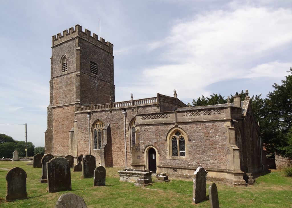
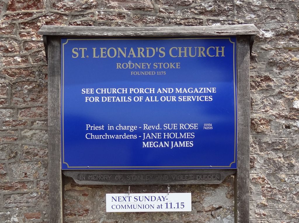
| Location | : | Rodney Stoke, Mendip District, England |
| Coordinate | : | 51.2455140, -2.7431800 |
frequently asked questions (FAQ):
-
Where is St. Leonard's Churchyard?
St. Leonard's Churchyard is located at Rodney Stoke, Mendip District ,Somerset ,England.
-
St. Leonard's Churchyard cemetery's updated grave count on graveviews.com?
17 memorials
-
Where are the coordinates of the St. Leonard's Churchyard?
Latitude: 51.2455140
Longitude: -2.7431800


Nearby Cemetories:
1. St. Peter's Churchyard
Draycott, Mendip District, England
Coordinate: 51.2580900, -2.7523800
2. St Lawrence Churchyard
Westbury, Mendip District, England
Coordinate: 51.2354140, -2.7182630
3. St. Andrew's Churchyard
Cheddar, Sedgemoor District, England
Coordinate: 51.2736740, -2.7761330
4. Christ Church Theale
Wedmore, Sedgemoor District, England
Coordinate: 51.2113720, -2.7631570
5. Cheddar Baptist Burial Ground
Cheddar, Sedgemoor District, England
Coordinate: 51.2767330, -2.7792010
6. Christ Church Churchyard
Henton, Mendip District, England
Coordinate: 51.2056460, -2.7256380
7. St. Mary Magdalene Churchyard Extension
Wedmore, Sedgemoor District, England
Coordinate: 51.2327583, -2.8065246
8. St. Lawrence's Churchyard
Priddy, Mendip District, England
Coordinate: 51.2596770, -2.6777600
9. St. Mary Churchyard
Wedmore, Sedgemoor District, England
Coordinate: 51.2276790, -2.8110360
10. Baptist Churchyard
Wedmore, Sedgemoor District, England
Coordinate: 51.2260400, -2.8099800
11. St. Matthew Churchyard
Wookey, Mendip District, England
Coordinate: 51.2093000, -2.6893000
12. St. Michael Sanatorium Cemetery
Axbridge, Sedgemoor District, England
Coordinate: 51.2904100, -2.8056900
13. Wells Cemetery
Wells, Mendip District, England
Coordinate: 51.2088240, -2.6640120
14. St. John the Baptist Churchyard
Axbridge, Sedgemoor District, England
Coordinate: 51.2876300, -2.8162900
15. Allerton Churchyard
Chapel Allerton, Sedgemoor District, England
Coordinate: 51.2479860, -2.8482400
16. St Gregory Churchyard
Weare, Sedgemoor District, England
Coordinate: 51.2699900, -2.8408600
17. Holy Trinity Church
Godney, Mendip District, England
Coordinate: 51.1793400, -2.7377400
18. Holy Trinity Churchyard
Blackford, Sedgemoor District, England
Coordinate: 51.2257800, -2.8483000
19. St. Cuthbert Churchyard
Wells, Mendip District, England
Coordinate: 51.2080930, -2.6502690
20. Coxley Methodist Churchyard
Coxley, Mendip District, England
Coordinate: 51.1918900, -2.6723700
21. Christ Church
Coxley, Mendip District, England
Coordinate: 51.1869530, -2.6797580
22. Wells Cathedral
Wells, Mendip District, England
Coordinate: 51.2103610, -2.6433940
23. St Thomas Churchyard
Wells, Mendip District, England
Coordinate: 51.2132380, -2.6370870
24. St Leonard's Churchyard
Shipham, Sedgemoor District, England
Coordinate: 51.3130980, -2.8001830