
| Memorials | : | 2 |
| Location | : | York, York Unitary Authority, England |
| Coordinate | : | 53.9633340, -1.0782010 |
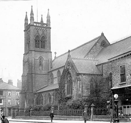
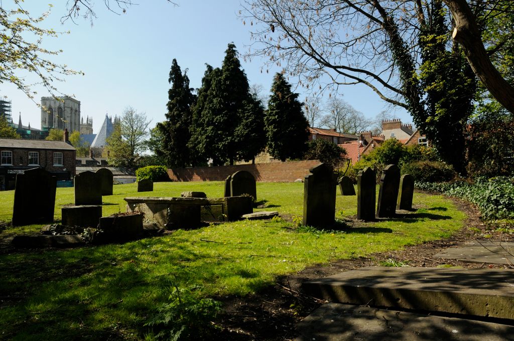
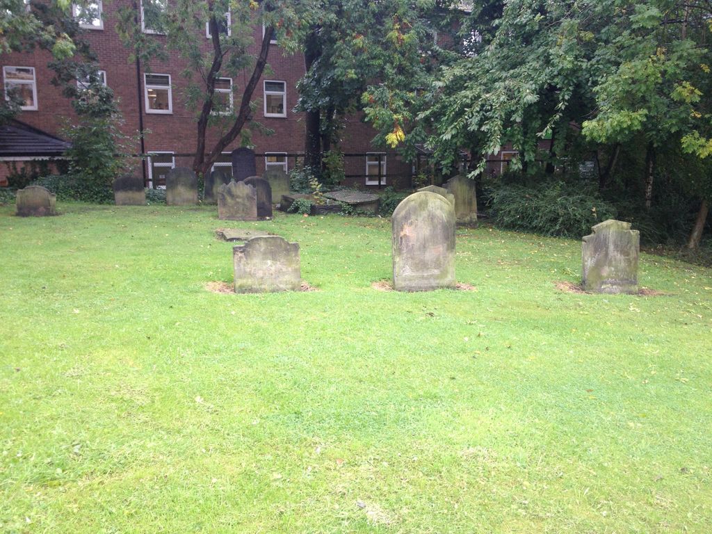
| Description | : | The St Maurice church building was removed in the 1960s and the churchyard is now a public green space. Burial registers for St Maurice parish cover the period 1650 to 1854. These have been deposited with the Borthwick Institute for Archives, University of York, Heslington, York, YO10 5DD. Like all other church burial locations within the City of York, the St Maurice Churchyard would have been closed to further burials by parliamentary order in December 1854. |
frequently asked questions (FAQ):
-
Where is St Maurice Churchyard?
St Maurice Churchyard is located at York, York Unitary Authority ,North Yorkshire ,England.
-
St Maurice Churchyard cemetery's updated grave count on graveviews.com?
2 memorials
-
Where are the coordinates of the St Maurice Churchyard?
Latitude: 53.9633340
Longitude: -1.0782010
Nearby Cemetories:
1. St Andrew Churchyard
York, York Unitary Authority, England
Coordinate: 53.9609180, -1.0784710
2. York Minster
York, York Unitary Authority, England
Coordinate: 53.9619440, -1.0819440
3. Holy Trinity Goodramgate Churchyard
York, York Unitary Authority, England
Coordinate: 53.9609810, -1.0804640
4. St Cuthbert Churchyard
York, York Unitary Authority, England
Coordinate: 53.9609180, -1.0752310
5. York Unitarian Chapelyard
York, York Unitary Authority, England
Coordinate: 53.9602950, -1.0775710
6. St Michael le Belfrey Churchyard
York, York Unitary Authority, England
Coordinate: 53.9618620, -1.0829730
7. Holy Trinity Kings Court Churchyard
York, York Unitary Authority, England
Coordinate: 53.9599760, -1.0800800
8. St Giles Churchyard
York, York Unitary Authority, England
Coordinate: 53.9640010, -1.0843930
9. St Saviour Churchyard
York, York Unitary Authority, England
Coordinate: 53.9596100, -1.0780000
10. All Saints Peasholme (Defunct)
York, York Unitary Authority, England
Coordinate: 53.9597200, -1.0759220
11. Central Methodist Hall
York, York Unitary Authority, England
Coordinate: 53.9594090, -1.0788330
12. St Crux Hungate Burial Ground
York, York Unitary Authority, England
Coordinate: 53.9593540, -1.0774470
13. St Sampson Churchyard
York, York Unitary Authority, England
Coordinate: 53.9597440, -1.0813060
14. St John Churchyard
York, York Unitary Authority, England
Coordinate: 53.9591850, -1.0761680
15. St Crux Churchyard
York, York Unitary Authority, England
Coordinate: 53.9589890, -1.0795460
16. St Wilfred Churchyard
York, York Unitary Authority, England
Coordinate: 53.9610550, -1.0848990
17. St Helen Churchyard
York, York Unitary Authority, England
Coordinate: 53.9603030, -1.0841970
18. St Helen Davygate Church Cemetery
York, York Unitary Authority, England
Coordinate: 53.9596460, -1.0830390
19. St Peter the Little (Defunct)
York, York Unitary Authority, England
Coordinate: 53.9585310, -1.0821170
20. St Martin le Grand Churchyard
York, York Unitary Authority, England
Coordinate: 53.9593870, -1.0843800
21. Lendal Congregational Chapel
York, York Unitary Authority, England
Coordinate: 53.9606360, -1.0860970
22. All Saints Pavement Churchyard
York, York Unitary Authority, England
Coordinate: 53.9581090, -1.0808820
23. Augustinian Friary, York (Nonextant)
York, York Unitary Authority, England
Coordinate: 53.9601683, -1.0860521
24. Saint Peter's
York, York Unitary Authority, England
Coordinate: 53.9577400, -1.0822600